Gatineau Park
"Gatineau Park is proof that a capital region doesn't have to choose between government buildings and genuine wilderness — it just has to protect the hill behind them."
361 square kilometres of Laurentian forest and lakes minutes from a federal capital — the wilderness Ottawa-Gatineau keeps in its back pocket.
We drove north out of Gatineau on a Saturday morning expecting a pleasant municipal park and found instead something considerably wilder: 361 square kilometres of Laurentian forest, cut through with lakes and ridgelines, protected since the 1930s and never developed the way so much land this close to a major city eventually gets developed. The Gatineau Hills mark the southern edge of the Canadian Shield, and driving up into them the landscape changes fast — the flat river valley gives way to granite outcrops and hardwood forest within a fifteen-minute drive from downtown.
Pink Lake was our first stop, and it’s the park’s signature oddity: a meromictic lake, meaning its deep water never mixes with the surface layer, creating a stratified ecosystem where oxygen-starved bottom water supports bacteria found almost nowhere else on the continent. The lake itself is a startling green-blue, ringed by a forest trail that took us about an hour to circle. I’d read about meromictic lakes before but never really understood the concept until I was standing above one, watching the color shift as the light changed.
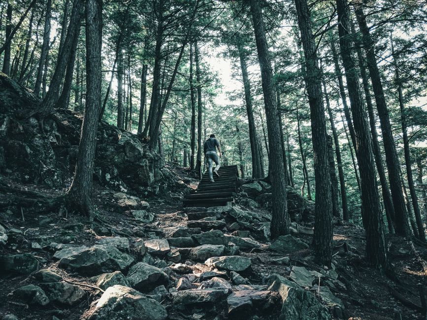
The Champlain Lookout, a short drive further into the park, delivers the view that makes the whole trip worth it on its own — a sweeping panorama over the Ottawa Valley from the edge of the Eardley Escarpment, where the Canadian Shield drops abruptly to the lowland below. We went in early October and the maple and oak forest covering the escarpment was turning in overlapping waves of red and gold, with the flat farmland of the valley floor stretching out pale and distant beneath it. Mackenzie King Estate, the former summer residence of Canada’s longest-serving prime minister, sits within the park too — a strange, melancholic property full of deliberately placed ruins that King imported and arranged as picturesque follies, alongside his actual cottage, preserved as a small museum.
In winter, the park transforms into one of the best groomed cross-country ski networks in eastern Canada, with over 200 kilometres of trails maintained by the National Capital Commission, ranging from gentle lakeside loops to steep backcountry stretches along the escarpment.
When to go: Early to mid-October for fall colour along the escarpment, which rivals anything in Charlevoix and requires far less driving. Winter for cross-country skiing and snowshoeing. Summer brings swimming at Lac Philippe and Lac Meech, though the latter has restricted parking that fills early on weekends.
Keep exploring
More from Québec
 quebec
 Grand-Mère
A former paper-mill town named for a rock that looks like an old woman's face, now better known for its suspended footbridge and quiet river trails.
Explore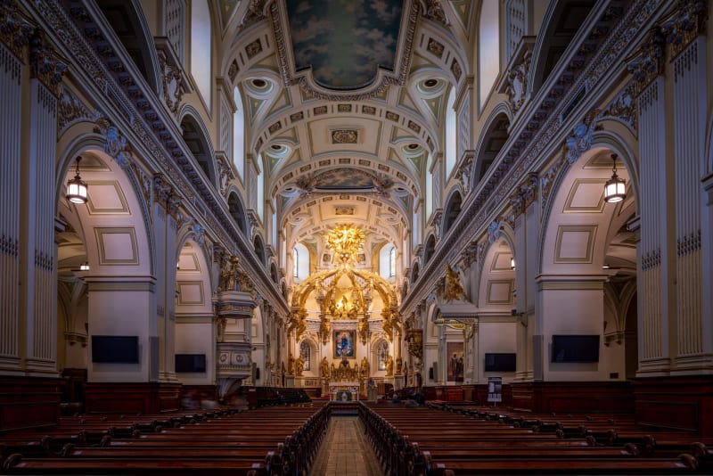 quebec
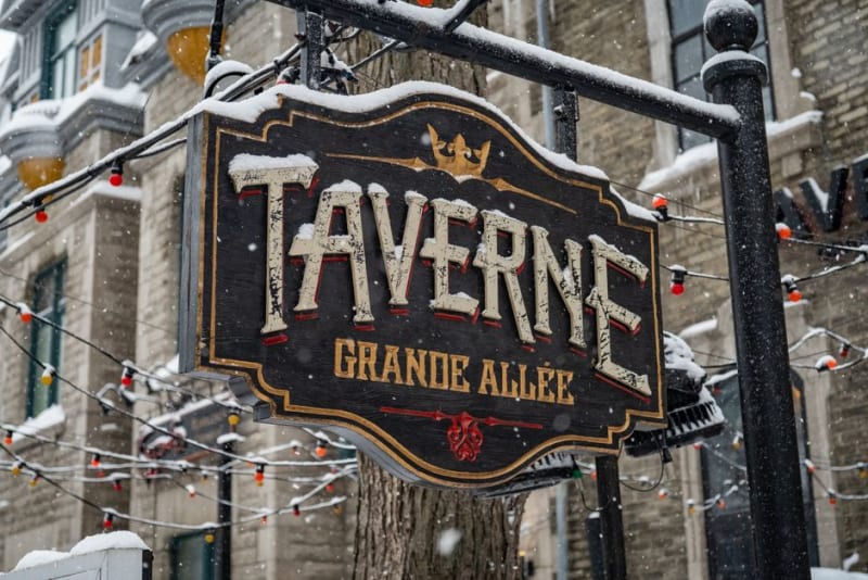
 Grande Allée
Quebec City's grand boulevard, where Victorian mansions and summer terrasses operate as one long, unapologetic party.
Explore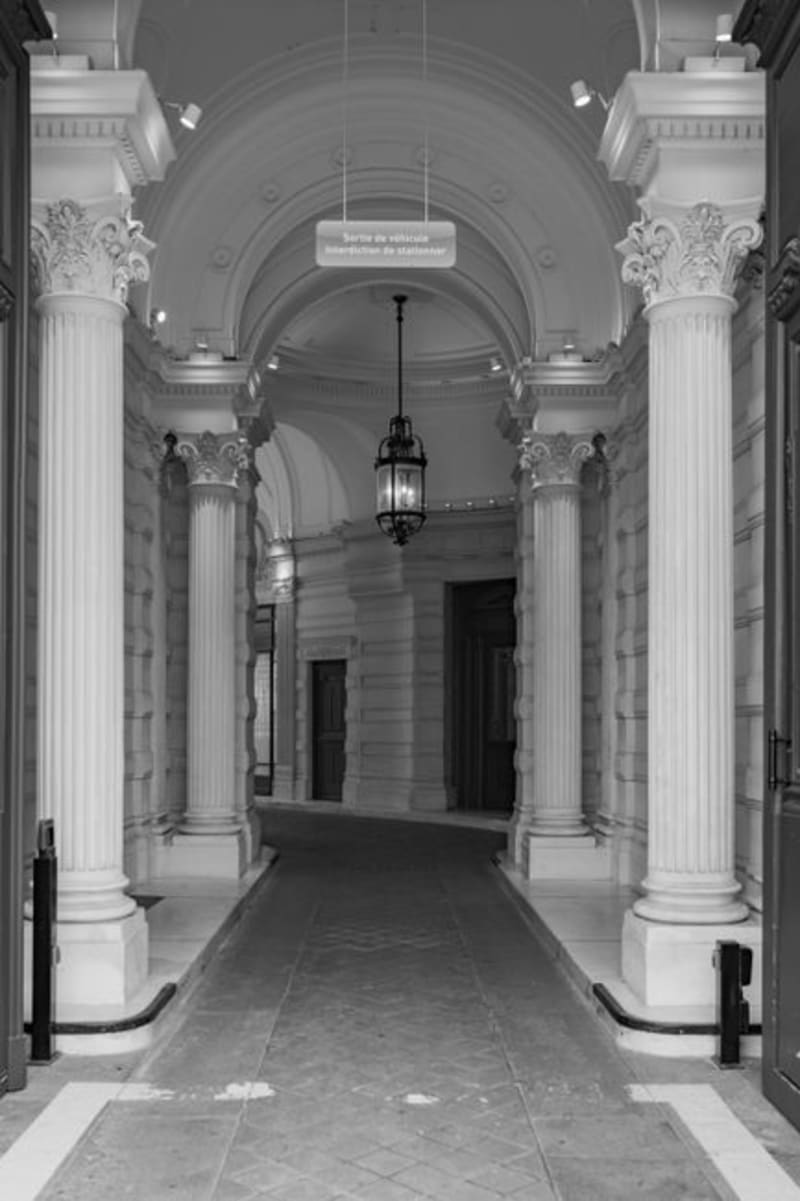 quebec
 Grande-Entrée
The lobster capital of the Magdalen Islands, where the northernmost tip of the archipelago runs out into dunes, seal colonies, and the province's biggest lobster fleet.
Explore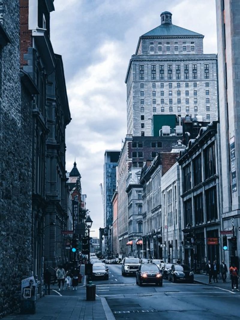 quebec
 Griffintown
Old Irish-immigrant rail yards turned condos and breweries — Montreal's fastest-changing neighbourhood, and proof the city can reinvent itself without losing its accent.
Explore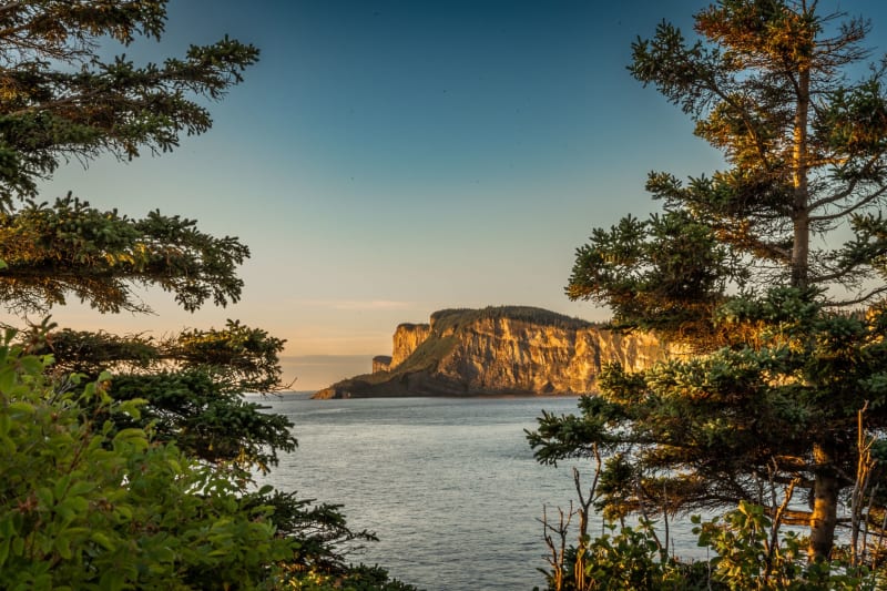 quebec
 Grosse Île
The quarantine island in the St. Lawrence where 5,000 Irish immigrants are buried — haunted quietly, as history tends to be.
Explore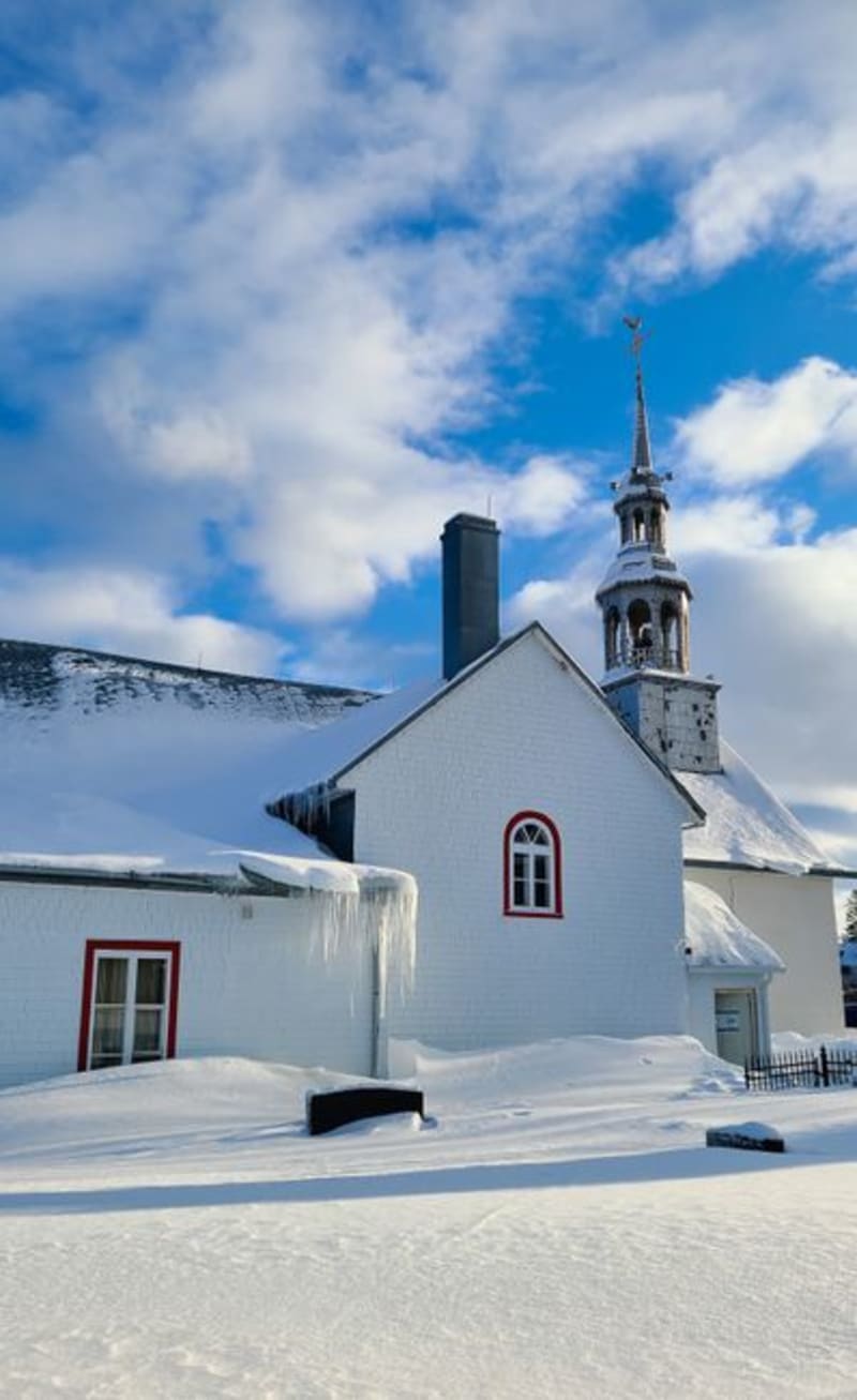 quebec
 Havre-Aubert
The oldest and southernmost of the Magdalen Islands, where a fishing hamlet called La Grave has been quietly refusing to modernize for three centuries.
Explore