
Carrick-a-Rede
"I looked down through the slats of the bridge and the sea was very far below and very blue."
A rope bridge over a twenty-metre chasm between the Antrim cliffs and a basalt island — vertiginous, exhilarating, genuinely not for everyone.

The rope bridge at Carrick-a-Rede is thirty metres long and twenty metres above the sea, slung between the Antrim headland and a small basalt island, and it sways. Not enough to be dangerous — the National Trust maintains it carefully and it handles the passage of three hundred people a day in peak season — but enough to make you aware at every step that you are suspended above a sea chasm and the slats underfoot have gaps between them. I have a reasonable head for heights. The bridge still asked something of me.
Carrick-a-Rede means “rock in the road” in Irish — a reference to the island’s position in the path of the Atlantic salmon migration. For the past three centuries, local fishermen strung rope bridges across the chasm every spring to reach the island and set their salmon nets. The last commercial salmon fishery on the island closed in 2002 and the bridge is now the reason people come, which is its own kind of reversal. I crossed in both directions and stood on the island for twenty minutes watching gannets working the water below — their crash-dives from thirty metres, folded to an arrow at the moment of entry.
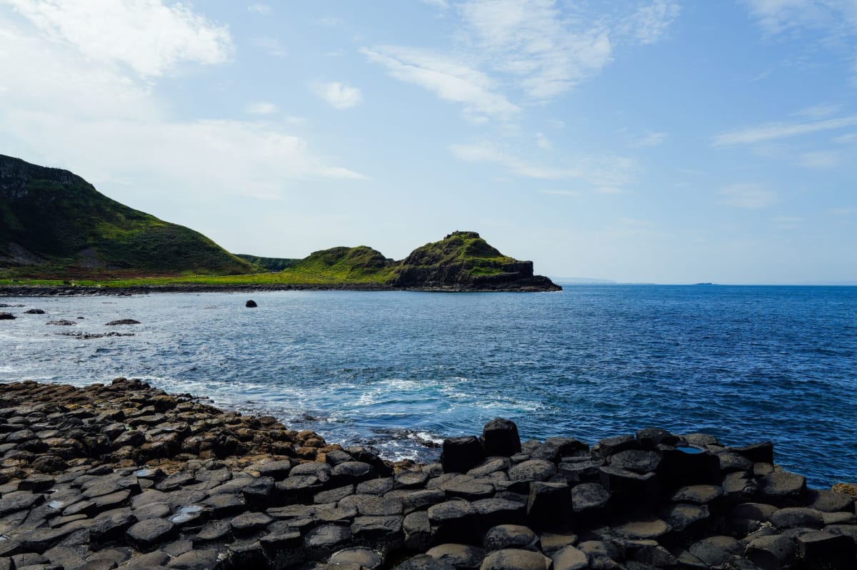
The coastal path from the car park to the bridge is a forty-minute walk in either direction, running along cliffs that drop to the Kinbane Head and, further west, to the ruins of Kinbane Castle — a pale limestone fortification on a chalk headland that is barely visited and entirely free to access. I walked out to it after crossing the bridge, through fields where black-faced sheep grazed close to the cliff edge with the equanimity of animals that have made their peace with altitude. The castle is a pile of walls over a sea cave, roofless and open to the sky, and the walk out on the limestone headland is narrower than it looks on a map.
Ballintoy village, a mile back from the coast, has a small harbour of such composed picturesqueness that it was used extensively for Game of Thrones. The harbour curves around a natural rock pool, the fishermen’s sheds painted white, the whole thing sitting at the bottom of a lane so steep that descending it feels like entering a story. I had a bowl of chowder at a converted tea room in one of the whitewashed sheds, watching the tide come in over the rocks, and decided that the road up was probably manageable if I went slowly.
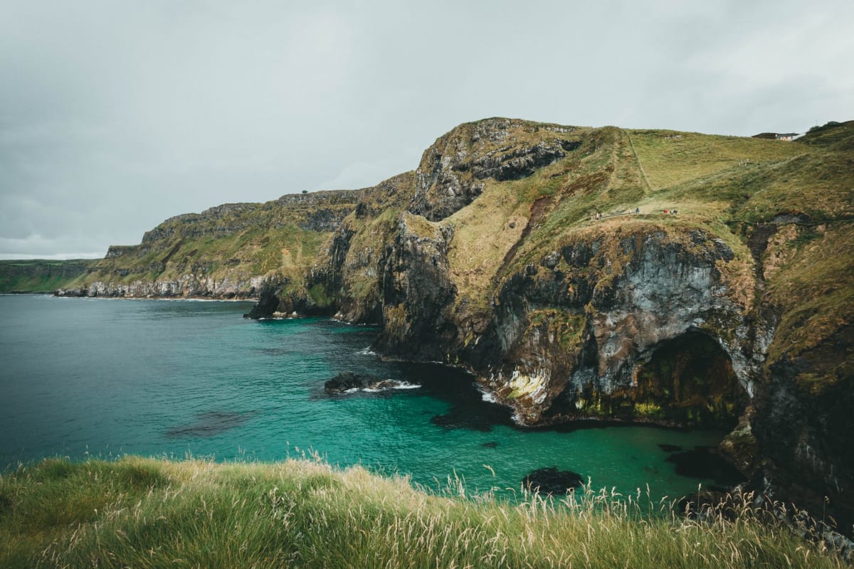
The stretch of coastline from Ballintoy to the Giant’s Causeway is the finest walking on the Causeway Coast Way — a route that runs from Ballycastle to Portstewart and takes approximately five days in full. The two-mile section between Carrick-a-Rede and the Causeway passes sea arches, black basalt beaches, and the White Park Bay, a long arc of white sand backed by dunes that arrives unexpectedly in the middle of all that basalt drama.
When to go: The bridge opens from March through October; visiting in spring or September means fewer queues for the crossing. High season July-August brings long waits at peak hours — book the timed entry ticket in advance through the National Trust website. For the coastal walk, May has the wildflowers on the clifftops; October has the best light. The harbour at Ballintoy is worth a stop at any time of year.
Keep exploring
More from Northern Ireland
 northern-ireland
Cushendun
A handful of whitewashed Cornish cottages, red sandstone caves, and a river mouth where the Glens of Antrim meet the sea.
Explore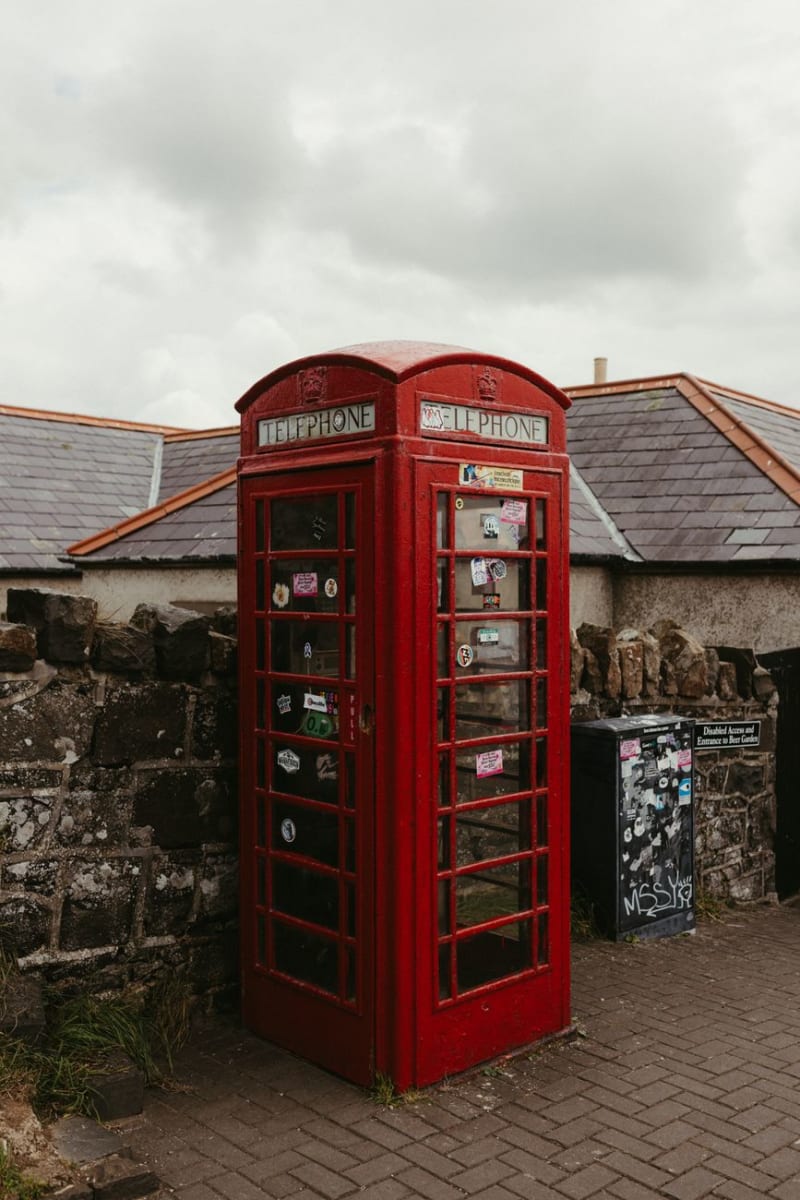 northern-ireland
The Dark Hedges
An avenue of beech trees in County Antrim planted by a vain eighteenth-century family that has, through no fault of its own, become the most photographed road in Ireland.
Explore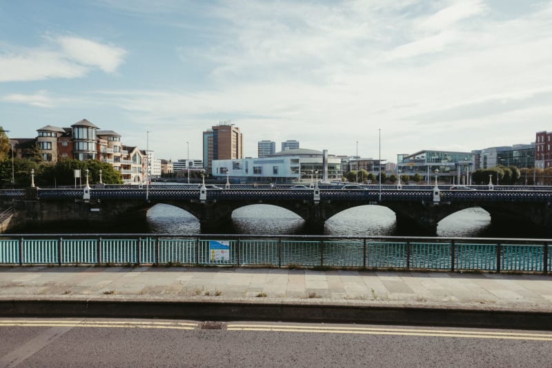 northern-ireland
Derry
A walled city where even the name is contested — and that tension, held lightly by its people, is what makes it unforgettable.
Explore northern-ireland
Downhill Demesne and Mussenden Temple
A domed library balanced on an Atlantic cliff edge, and the ghost of a bishop's mansion crumbling into the grass behind it.
Explore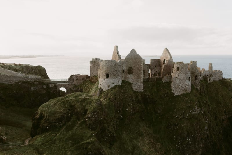 northern-ireland
Dunluce Castle
A medieval stronghold balanced on a basalt sea-stack above crashing surf — ruins that look more dramatic than most intact castles.
Explore northern-ireland
Giant's Causeway
Forty thousand hexagonal basalt columns descending into the Atlantic — geology so precise it looks like deliberate construction.
Explore