A high, wind-scoured farming village where trekkers hole up for a second acclimatization stop, boxed in by stone walls and some of the best close-range peak views on the trail.
By the time we reached Dingboche, at 4,410 meters, the landscape had already changed twice — forest to rhododendron scrub to this: a wide, treeless valley floor gridded with stone walls protecting fields of barley and potato that somehow still get planted this high. The wind never really stops here, and the second mandatory acclimatization day meant we had two full nights to notice it.
A Village Built Against the Wind
Dingboche’s stone walls aren’t decorative — they’re windbreaks, built low and thick around every field and pasture to protect crops from gusts that come screaming down off the surrounding ridgelines without warning. The village itself splits into upper and lower sections strung along the valley, teahouses facing south to catch what sun there is, and the whole place has a hardened, practical feel that Namche’s tourist bustle doesn’t.
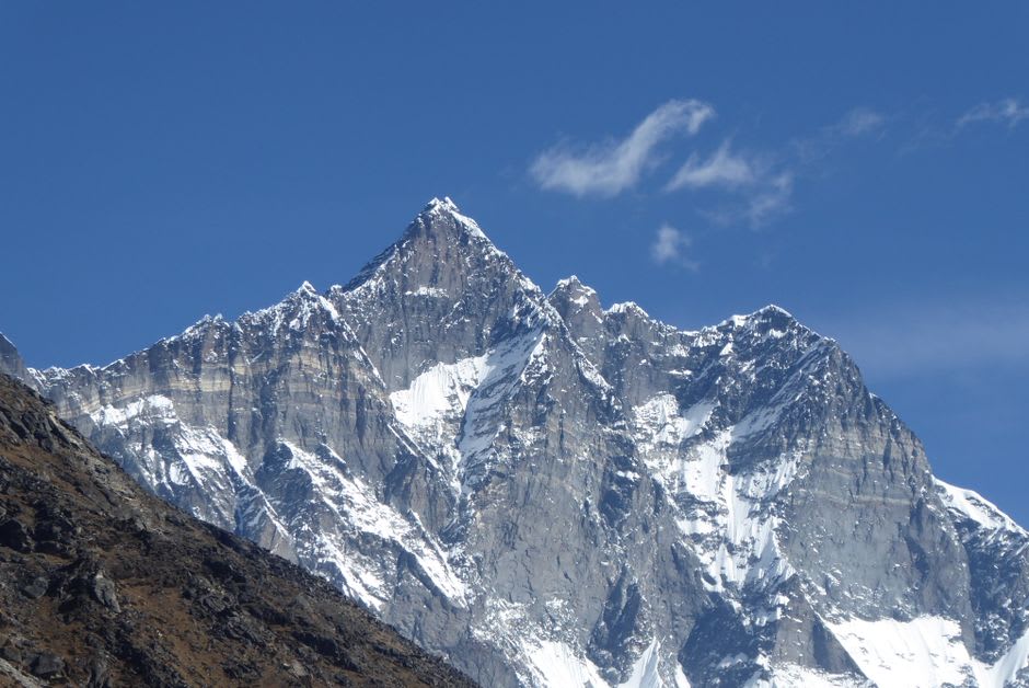
Nangkartshang Peak
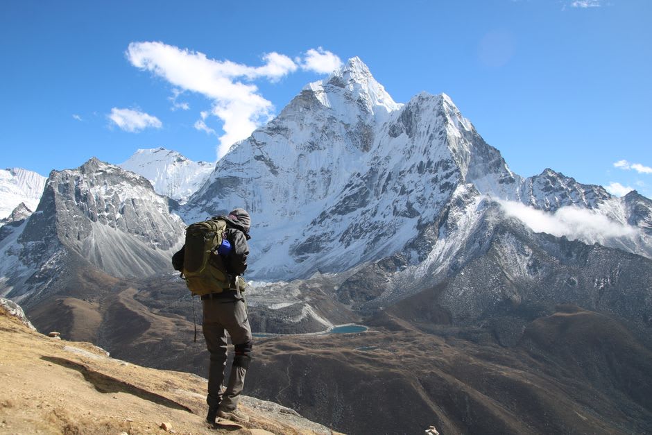
The acclimatization hike from Dingboche climbs Nangkartshang Peak, a ridge above the village that tops out around 5,100 meters and delivers a view worth the lung-burning effort: Makalu appearing to the east for the first time on the trek, Ama Dablam close enough to see individual seracs, and the whole Imja Valley opening up toward Island Peak. Lia turned back partway up with a headache; I pushed on and immediately understood why the acclimatization protocol exists — the last hundred meters felt like walking through wet cement.
Bakeries, Again
Improbably, Dingboche also has a bakery — the Sherpa answer, it seems, to how much sugar and refined carbohydrate the body starts craving above 4,000 meters. We ate cinnamon rolls at nearly 4,500 meters while watching yaks graze between stone walls and porters descend from Lobuche, and it felt like one of the stranger, better meals of the whole trip.
When to go: October and November offer the clearest views for the Nangkartshang acclimatization hike; late spring (April–May) works too, though afternoon cloud builds earlier. Winter nights here regularly drop well below freezing, so December through February demands serious cold-weather gear.
Keep exploring
More from Nepal
 nepal
nepal Everest Base Camp Trail
The 12-day teahouse trek through Sherpa villages to the foot of the world's highest mountain.
Explore nepal
nepal Ghale Gaun
A Gurung heritage village on a ridge above the Marshyangdi valley, developed as a community tourism model rather than a trekking-route waypoint, with almost none of the foot traffic of the main Annapurna trails.
Explore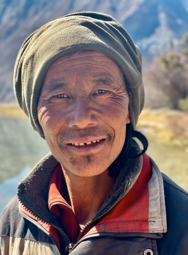 nepal
nepal Ghami
A terraced Upper Mustang village guarding one of the longest mani walls in Nepal, wedged between eroded canyons on the jeep road to Lo Manthang.
Explore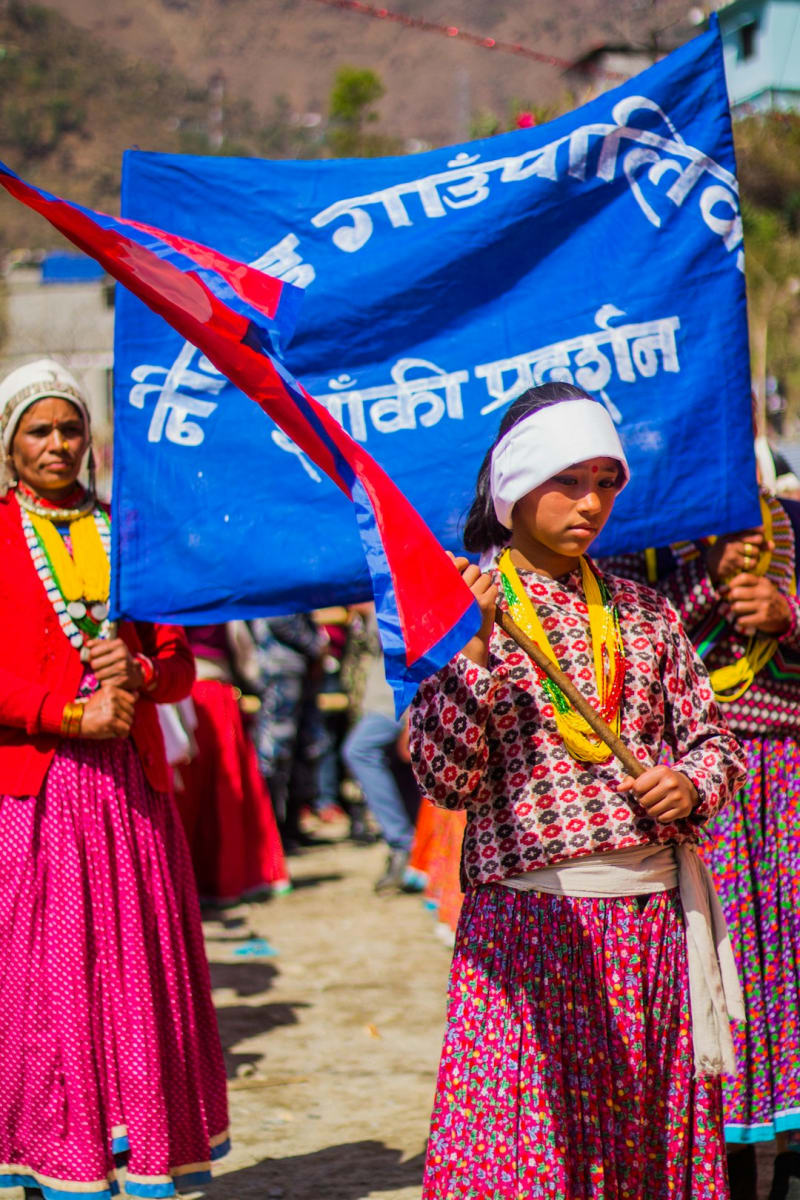 nepal
nepal Ghandruk
A stone-and-slate Gurung village stacked into an Annapurna hillside, close enough to reach in two easy days and beautiful enough that you'll wish you'd budgeted for a third.
Explore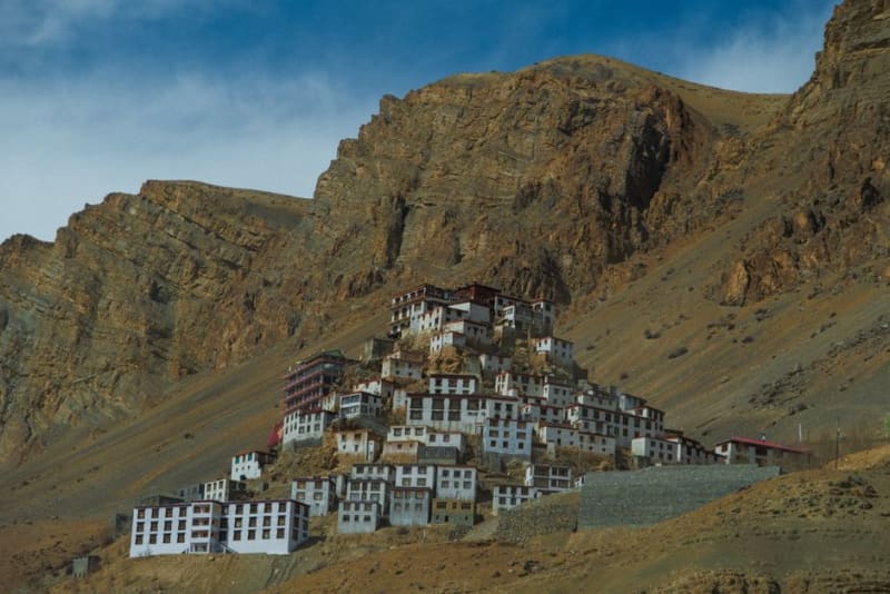 nepal
nepal Ghar Gompa
A cliffside monastery older than Tibetan Buddhism's own oldest monastery, tucked in a side valley that most Upper Mustang jeep routes bypass.
Explore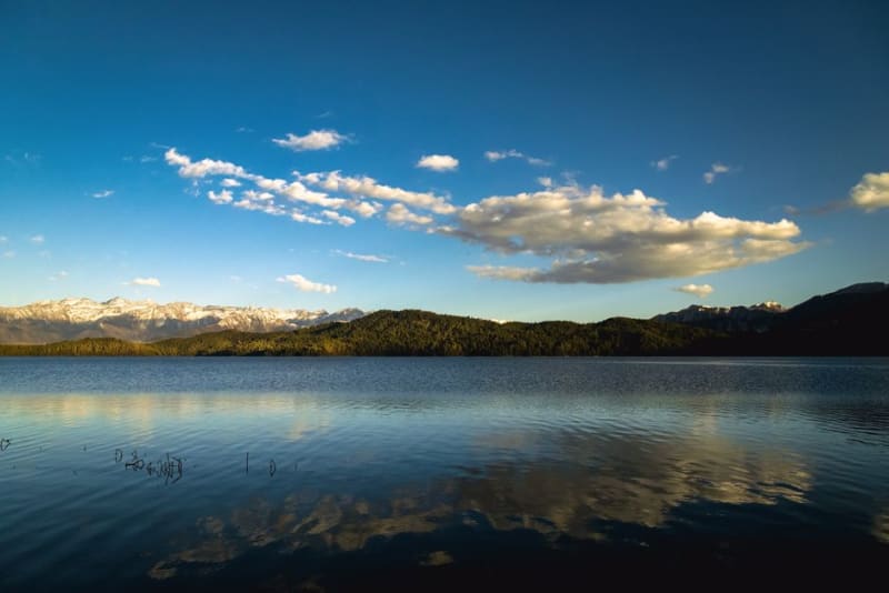 nepal
nepal Ghodaghodi Lake
A sprawling wetland system in the far-western Terai, a Ramsar site of lily-covered lakes, crocodiles, and migratory birds that almost no itinerary includes.
Explore