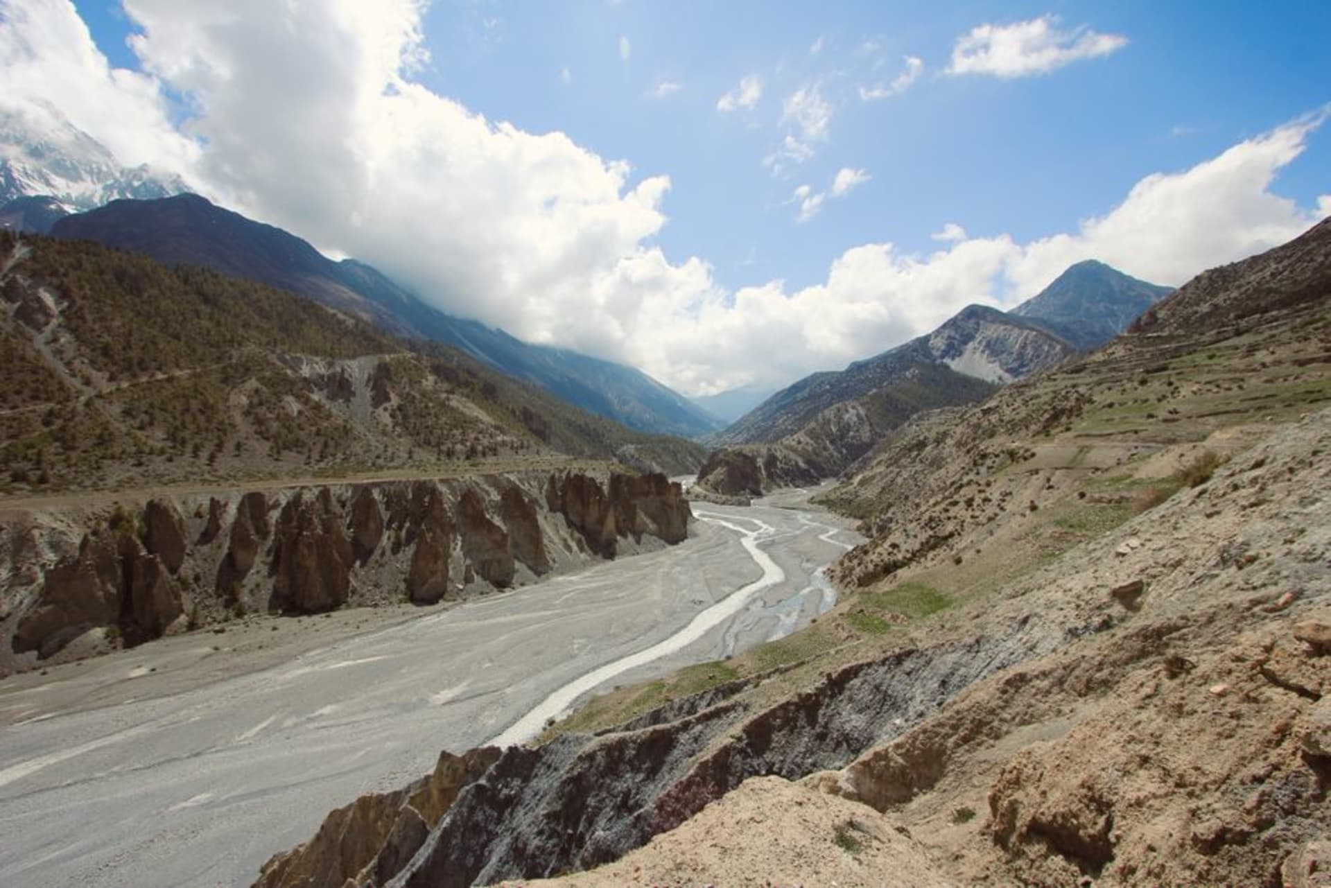
Dang Valley
"Dang isn't in the Terai and isn't in the hills. It's the valley in between, and nobody had told me that in-between places could feel this complete."
A wide inner-Terai valley ringed by hills, historically resistant to malaria eradication and settlement, that today offers a slower, largely undiscovered version of lowland Nepal.

I hadn’t planned to stop in Dang at all — it was meant to be a bus-change point on the long haul between Nepalgunj and Pokhara — but a friend in Kathmandu insisted we break the journey there, and Lia and I are glad we listened. Dang is what’s called an “inner Terai” valley: a broad, fertile lowland enclosed by the Churia and Mahabharat hill ranges rather than opening directly onto the Indian plains, and for most of the twentieth century it stayed sparsely populated because of endemic malaria. That history shaped everything about how it developed, and arriving now, the valley feels distinct from both the open Terai and the trekking hills — settled, agricultural, and largely untouched by tourism infrastructure.
Ghorahi and the Valley Floor
Ghorahi, the valley’s main town, sits surrounded by an almost startling expanse of flat, intensively farmed land — rice paddies stretching to the base of the hills in every direction, worked by Tharu and hill-migrant farming communities side by side. We rented bicycles and rode out along the irrigation canals in the late afternoon, past women transplanting rice seedlings in ankle-deep water, the whole valley lit gold as the sun dropped behind the western ridge.

Tharu Villages and the Deuki Tradition
The valley has a significant indigenous Tharu population, and a village elder we spoke with near Lamahi described how malaria’s grip on the region — Tharu communities carry a degree of natural resistance — had for generations kept Dang almost entirely theirs, before drainage projects and DDT campaigns in the 1950s and 60s opened it to mass hill migration and permanently changed its demographics. It was a sobering history to hear standing in a landscape that now looks purely bucolic.

The Hills at the Edges
What makes Dang genuinely distinct is the ring of forested hills boxing the valley in on nearly every side — a short motorbike ride from Ghorahi gets you to ridgelines with views back down over the entire patchwork of fields, a vantage point almost nobody outside the valley seems to know exists.
When to go: October through March is the most comfortable and scenic window, with rice harvests underway through November. April and May bring heat but excellent visibility from the surrounding ridges. The monsoon from June through September floods the paddies for planting season but makes travel through the valley considerably harder.
Keep exploring
More from Nepal
 nepal
nepal Darchula
Nepal's northwesternmost district, a Himalayan border corridor along the Mahakali River beneath the Api and Nampa peaks, as far from Kathmandu as the country gets.
Explore nepal
nepal Davis Falls
A violent, roaring waterfall that vanishes underground mid-fall, named for a tragedy nobody quite agrees on.
Explore nepal
nepal Devghat
A sacred river confluence near Chitwan where elderly Hindus retire to spend their final years, ashrams lining the banks in unhurried, deliberate quiet.
Explore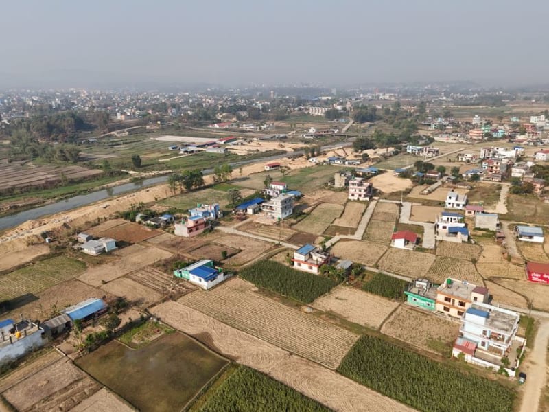 nepal
nepal Dhakmar
A scatter of a village dwarfed by blood-red cliffs riddled with caves, tucked in a side valley most Upper Mustang itineraries skip entirely.
Explore nepal
nepal Dhangadhi
The far-western Terai's main gateway city, and the launch point for Suklaphanta National Park and the wetlands of Ghodaghodi Lake.
Explore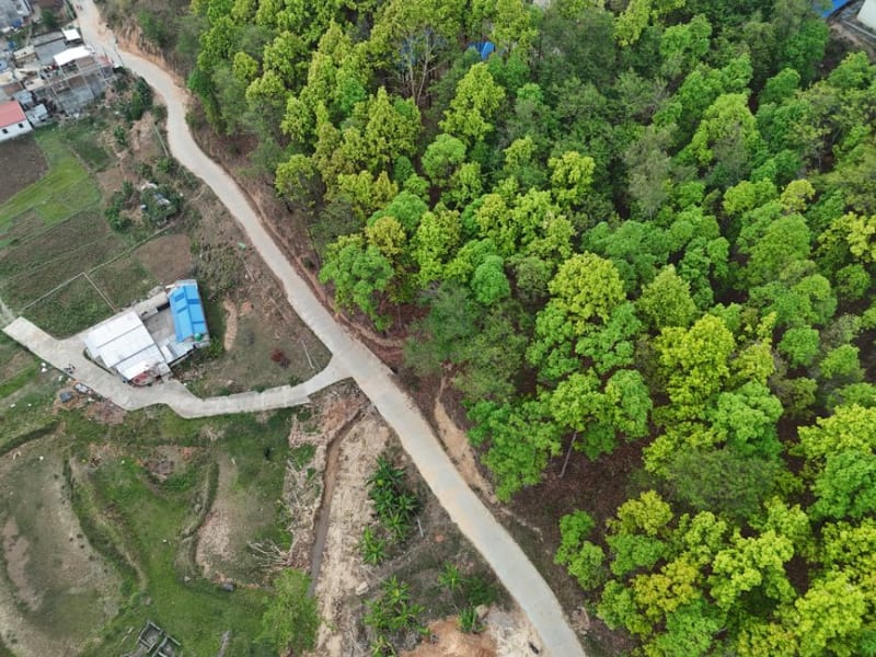 nepal
nepal Dharan
A breezy foothill city on the edge of the Terai, where Gurkha history, Kirat temples, and eastern Nepal's best street food converge.
Explore