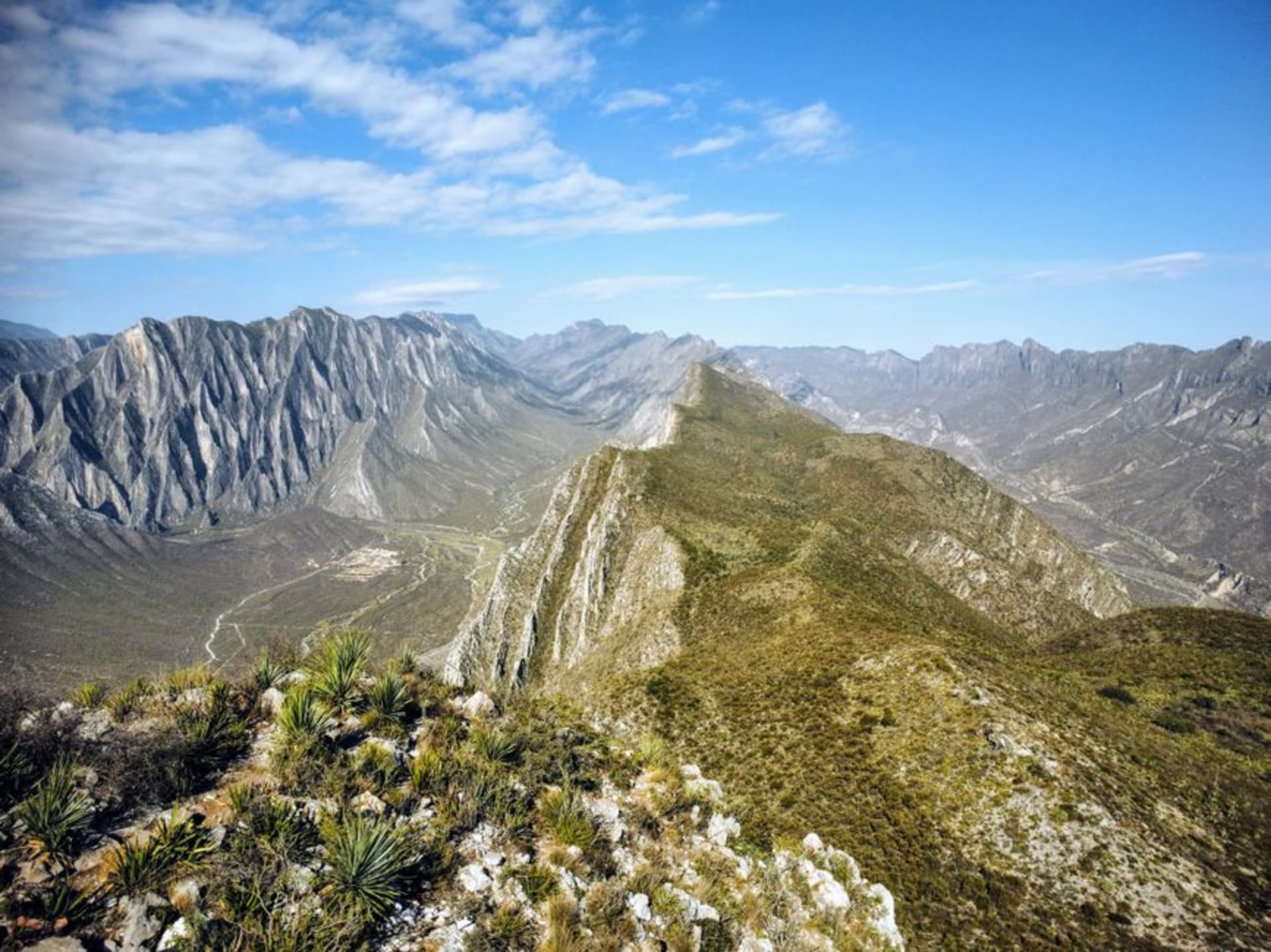
La Quemada
"Standing on the votive pyramid at dusk, watching the shadow of the hill swallow the plain below, I stopped needing the ruin to have a tidy explanation."
A pre-Hispanic fortress city climbing a volcanic hill fifty kilometers south of Zacatecas — colonnaded halls, a sacrificial platform lined with skulls, and a votive pyramid that once commanded the northern trade routes. The civilization that built it vanished around the year 900, and no one has satisfactorily explained why.

I took a local bus from the Central Camionera in Zacatecas at half past eight on a Tuesday, which left me at the roadside turnoff with no shade and a twenty-minute walk to the entrance. This is not a complaint. The walk across the flat, scrubby plain — nopal, low acacia, dust the color of old brick — gives you time to watch the volcanic hill resolve itself out of the horizon. By the time I reached the ticket booth, I could already make out the stone walls terracing the hillside in horizontal bands, like a city someone had draped over a clenched fist.
The Hall of Columns and the Platform of Skulls
The colonnade is the first thing that breaks your sense of scale. Forty-some stone pillars still standing — or rather, rebuilt to stand — in a covered hall that once served ceremonial purposes nobody has fully decoded. The site is sometimes called Chicomostoc, though archaeologists debate whether that Nahuatl name even applies here. What is not disputed is the tzompantli: a low platform just below the main hall where hundreds of skulls were displayed in rows. The holes are still visible in the stone. I crouched there for a while, not taking photographs, trying to locate something like feeling. What I got instead was arithmetic — six hundred years of occupation, and then nothing. The fires that give La Quemada its name seem to have been intentional. A deliberate end. Someone burned the place down, possibly the inhabitants themselves, and the plain absorbed whatever explanation they left behind.

The View From the Votive Pyramid
I reached the top of the votive pyramid around five in the afternoon, which was both accidental and correct. The northern plain goes flat in every direction, broken only by the occasional sierra on the far horizon. From up here the site’s logic is immediate: nothing moved through this corridor without La Quemada knowing. The city controlled the road between the settled Mesoamerican south and the arid, difficult north — a gateway, a checkpoint, likely a pilgrimage stop for groups pressing deeper into the Gran Chichimeca. Then, sometime around 900 CE, it stopped being any of those things. The theories run from climate collapse to the fracturing of Teotihuacan’s trade network to internal revolt. None of them fully satisfies. I watched the shadow of the hill extend across the meseta below and thought, not for the first time in Mexico, that some places simply resist the archive.

How to Visit Without Rushing It
La Quemada rewards slowness. The site is not large by the standards of southern Mexico, but the terrain is steep and the midday sun is serious — bring more water than seems reasonable, and real shoes, not sandals. I spent four hours here and could have stayed five. There is a small on-site museum near the entrance with a scale model of the complex and a modest ceramic collection; it takes twenty minutes and is worth exactly twenty minutes. Pack lunch or eat before you come: beyond a snack stand there is nothing at the site, and Zacatecas is fifty kilometers back. The Museo Zacatecano in the city holds additional La Quemada artifacts if you want the archaeological frame before or after the walk.

Getting There
La Quemada sits 50 km south of Zacatecas city on Federal Highway 54 toward Guadalajara. Local buses from the Central Camionera heading toward Villanueva stop at the turnoff — confirm with the driver before boarding. A taxi or rental car takes roughly forty minutes and is more convenient. The site is open Tuesday through Sunday. Dry season, October through April, is most comfortable; winter light on the pale stone is particularly good.
Keep exploring
More of Zacatecas
Keep exploring
More from Zacatecas
 mexico
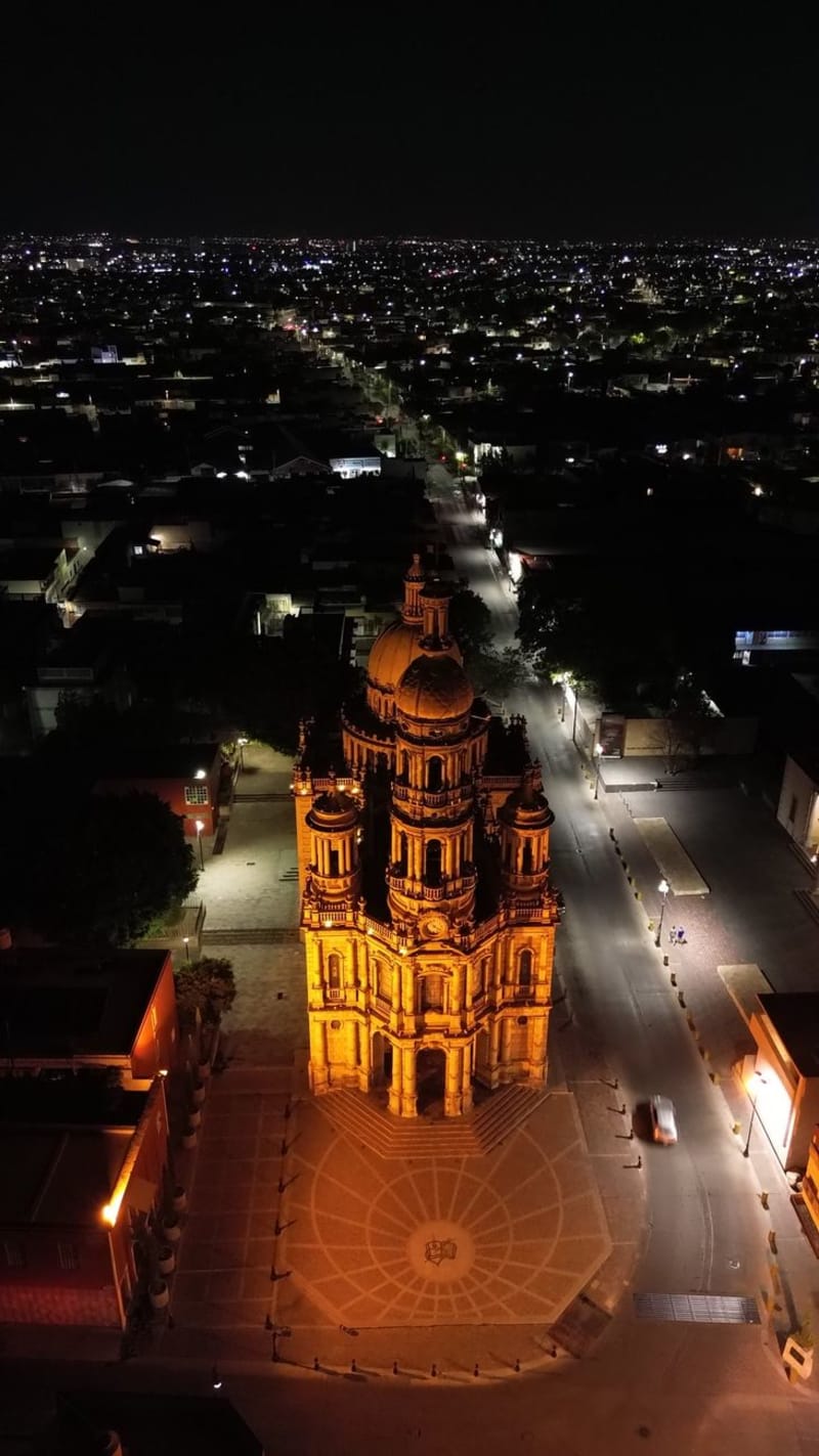
 Jerez de García Salinas
Jerez is a Pueblo Mágico 50km from Zacatecas City and the birthplace of Ramón López Velarde, the poet whose 'La suave patria' became the defining literary expression of Mexican national identity after the revolution. The town is also famous for handcrafted sombreros charro — wide-brim formal hats made in workshops you can walk into — and has a bullring culture that predates everything around it. It is a town that takes its own seriousness for granted.
Explore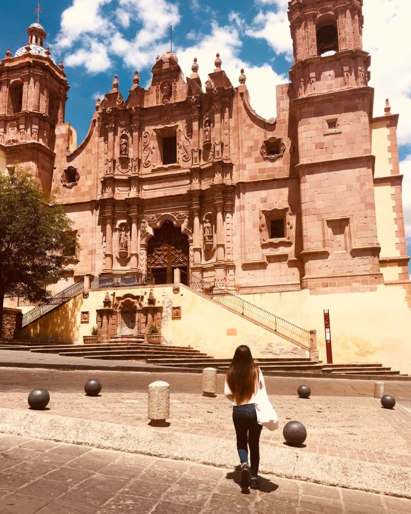 mexico
 Zacatecas City
Zacatecas City is a UNESCO World Heritage colonial mining city built almost entirely from cantera rosa, a local volcanic stone that turns the historic center a deep rose-pink in daylight and copper at sunset. The churrigueresque cathedral facade is the most ornate in Mexico. You enter the old silver mine in a miniature train, descend into the mountain, and walk extraction tunnels that funded a significant portion of the Spanish colonial empire. A cable car connects the two hills that bracket the city.
Explore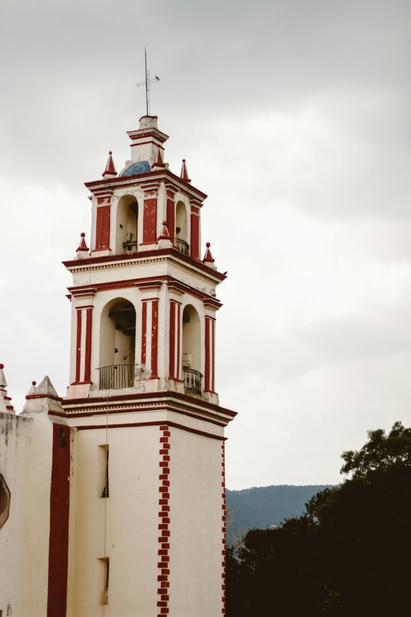 mexico
 Monte Escobedo
A quiet Pueblo Mágico in the pine-covered mountains of southern Zacatecas where the air stays cold even in July, a sixteenth-century parroquia anchors a plaza built for doing nothing, and the gorditas de maíz are worth the drive alone.
Explore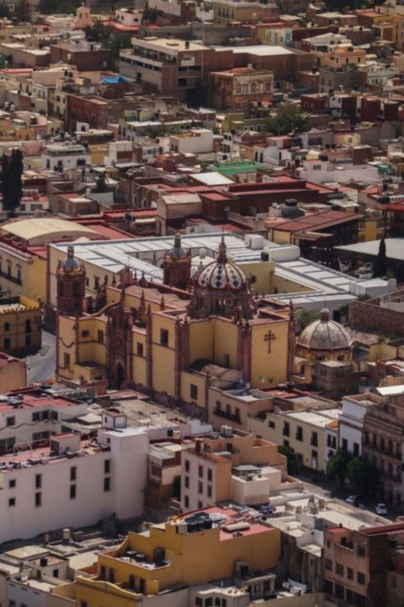 mexico
 Valparaíso
A ranching town wedged into the Sierra Madre Occidental where the air drops ten degrees and the highway ends at a weekly livestock market that smells of pine resin and copal. Valparaíso has no interest in being discovered, which is part of what makes it worth the three-hour drive from Zacatecas City.
Explore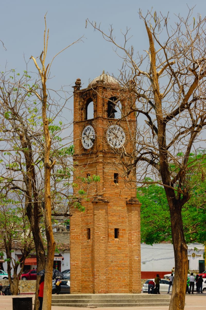 mexico
 Fresnillo
Fresnillo is the second-largest city in Zacatecas state, built around a silver mine that is still one of the largest operating silver mines in the world. It is a working northern Mexican city without pretension: wide streets, norteño music from car stereos, a colonial church on a functional plaza, the mine infrastructure visible from the surrounding hills. I ate cabrito — slow-roasted young goat, the northern Mexico specialty — in a lunch restaurant full of mine workers and thought this was a more honest version of the state than the cable car and the pink cathedral sixty kilometers south, though I love the cable car.
Explore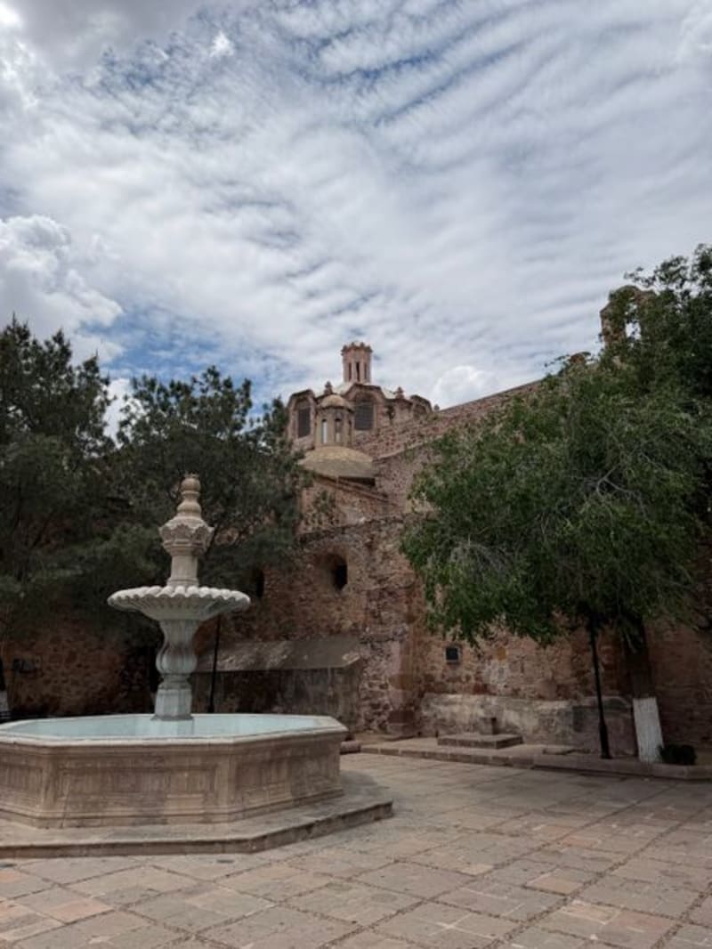 mexico
 Jalpa
A small colonial town in southern Zacatecas that earns a longer stop than most travelers give it, chiefly because of the 16th-century castle ruins on the ridge above and a main plaza calm enough to make you forget you had somewhere else to be.
Explore