Las Vigas de Ramírez
"People forget Veracruz has cold in it. Then they climb to Las Vigas, and the fog and the pines set them straight."
A high, cold pine-forest town on the mountain road between Xalapa and Perote, on the flanks of the Cofre de Perote, famous for its hand-carved wooden crosses. Fog, resin, and mountain chill a world away from tropical Veracruz.

Everyone who thinks of Veracruz thinks of heat — of the port, the sticky nights, the marimbas and the coffee and the coast. So the first time I drove up from Xalapa toward Perote and watched the tropical green give way to pine and the temperature fall through the floor, I felt like I’d crossed a border without a checkpoint. By the time I reached Las Vigas de Ramírez I had the heater on and the windows fogged, and outside a man was selling hot atole from a cart, steam curling off the pot into cold mountain air. Veracruz, it turns out, has a cold soul up here on the mountain, and hardly anyone stops to meet it.
Las Vigas sits high on the road between Xalapa and the town of Perote, on the flanks of the great extinct volcano Cofre de Perote, in a belt of pine forest that stays chilly and misty most of the year. It is not a place people set out for. It is a place you pass through — unless, like me, something makes you pull over.
The Wooden Crosses
What made me pull over was the crosses. Las Vigas is known across the region for its hand-carved wooden crosses, a craft that comes into full flower around Semana Santa, when carvers turn out crosses of every size from the local pine and sell them along the road and in the town. Some are plain and severe; others are worked with astonishing detail, the wood cut and joined and finished by hand.
I watched a carver at his bench, the floor around him deep in pale shavings, the whole workshop smelling of fresh-cut resinous pine. He’d been making crosses, he told me, since he was a boy, as his father had, using the forest that surrounds the town. There was no showroom, no pitch — just a man, a chisel, and a life’s worth of skill in his hands.

The Cofre de Perote’s Forests
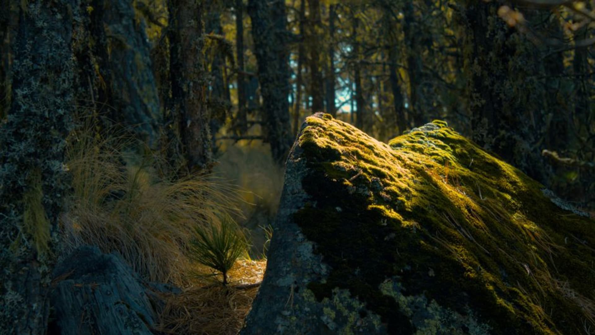
Above and around Las Vigas rise the pine forests of the Cofre de Perote, the flat-topped volcano whose distinctive squared summit — the “chest” that gives it its name — dominates the skyline on the rare clear day. The forest here is cold and tall and dark, the kind of high-altitude conifer woodland that feels closer to a mountain forest in Europe than to anyone’s idea of Veracruz.
The fog moves through constantly, and with it the smell of resin and damp needles. I walked a short way up a forest track and found the cold absolute, the silence broken only by wind in the high branches. If you have the vehicle and the time, the road climbs toward the national park on the volcano’s flanks, into ever colder and more spectacular pine country.

A Cold Stop on the Mountain Road
The town itself is a working highland community strung along the old road — a church, some shops, comedores where you can get something hot into you, and the constant traffic of a route that has always connected the coast to the highlands. It is not picturesque in the manicured sense. It is real and a little rough and thoroughly itself.
I ate a bowl of caldo and drank a coffee grown lower down the mountain, warming my hands on the cup while the fog pressed against the window. A cross carver came in, still dusted with pine shavings, and ordered the same. This is the pleasure of Las Vigas: not a sight to tick off, but a genuine mountain town going about its cold, resinous, unhurried business, indifferent to whether you noticed.

Getting There
Las Vigas de Ramírez sits on the highway between Xalapa and Perote in the highlands of central Veracruz, roughly an hour from Xalapa by car and easily combined with a trip up toward the Cofre de Perote. Frequent buses and colectivos run the Xalapa–Perote route and will drop you in town, making it an easy day trip without a car. Driving gives you the freedom to push higher into the volcano’s forests. Whatever the season, come dressed for cold and fog — this is genuinely chilly country, and the mountain makes its own weather.
Keep exploring
More of Veracruz
Keep exploring
More from Veracruz
 mexico
 Altotonga
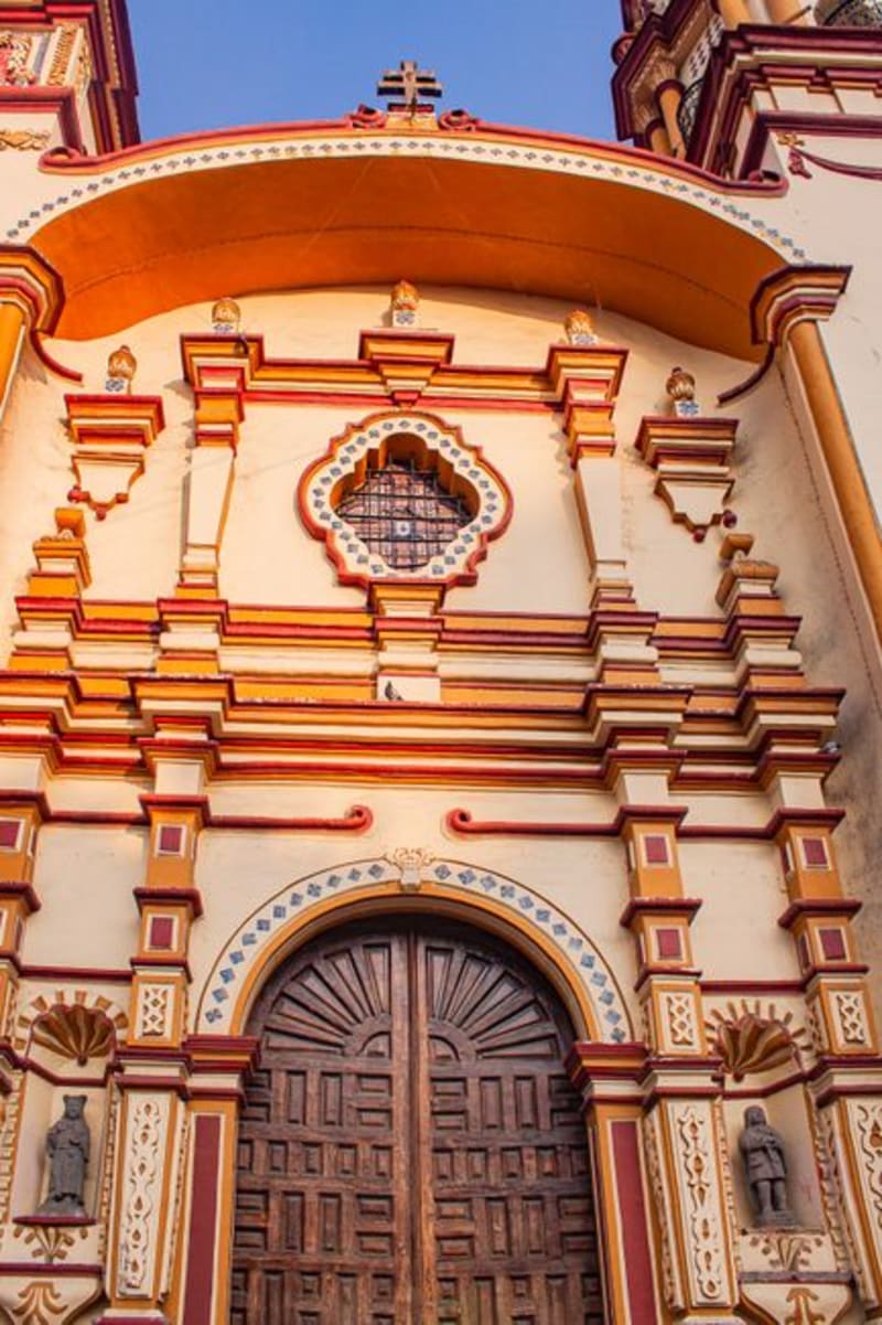
A cold, high mountain town on the flanks of the Cofre de Perote in northern Veracruz, where apple orchards and potato fields climb between stands of pine and the fog rolls in most afternoons. A bracing sierra town with chilly nights and the clean thin air of real altitude.
Explore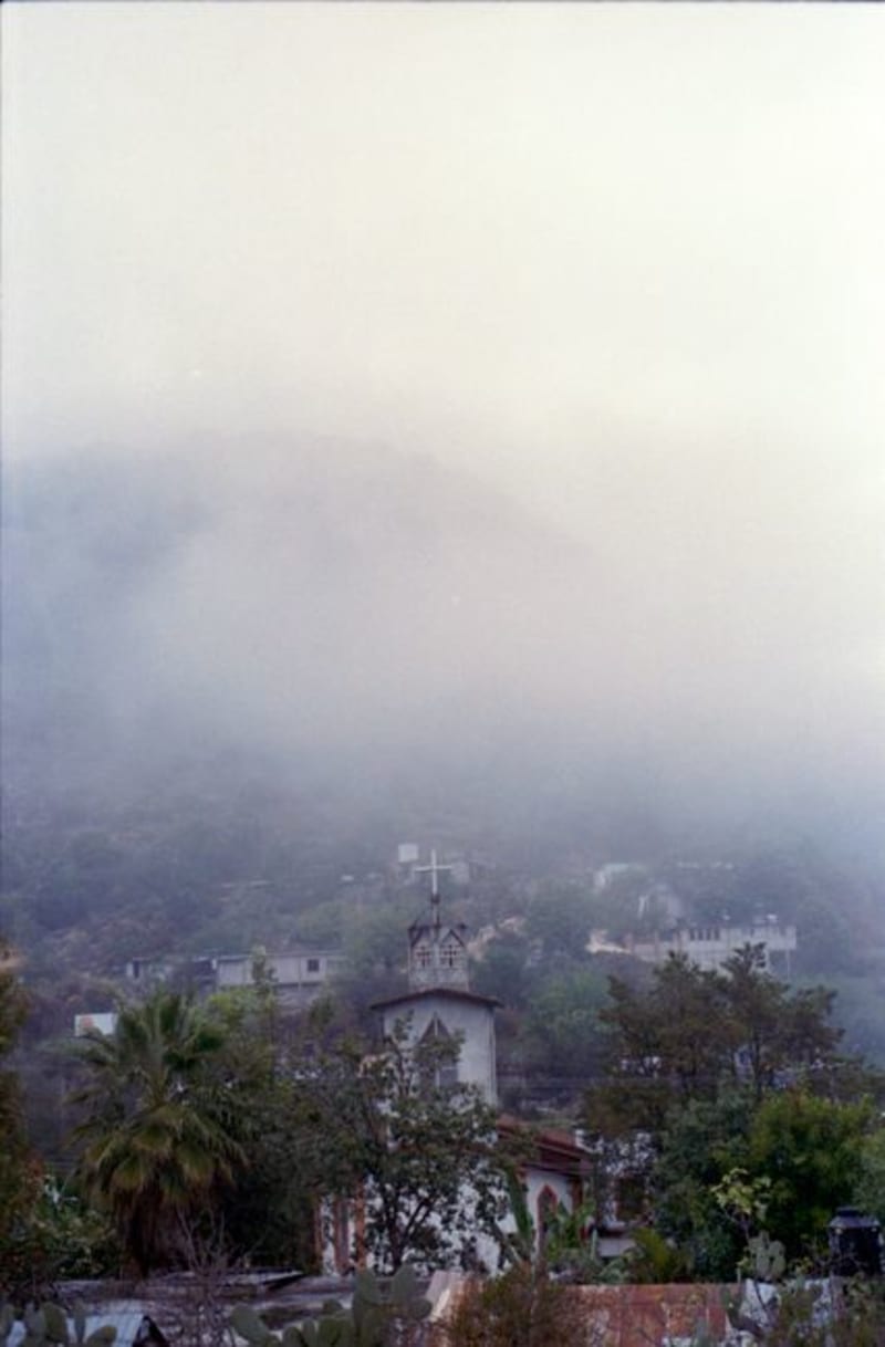 mexico
 Coacoatzintla
A small town in the green coffee mountains just north of Xalapa, all cloud-forest slopes, mist, and rain. A slow, humid, deeply green corner within reach of the state capital yet somehow entirely overlooked.
Explore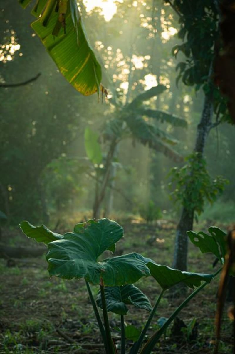 mexico
 Los Tuxtlas
Three volcanoes rise from the Gulf coastal plain of Veracruz, their flanks holding the last significant lowland tropical rainforest in North America. Between the towns of San Andrés, Santiago, and Catemaco, rivers cut through jungle, waterfalls drop into gorges, and a crater lake fills and drains on its own seasonal logic.
Explore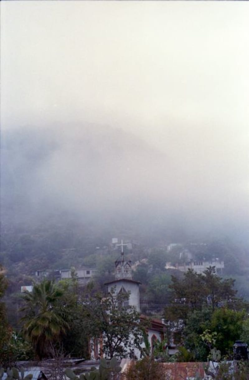 mexico
 Tonayán
A tiny Totonac and mestizo village in the misty sierra northwest of Xalapa, ringed by cloud forest, coffee, and ravines with waterfalls. Foggy, lush, intensely local, and far off the tourist map.
Explore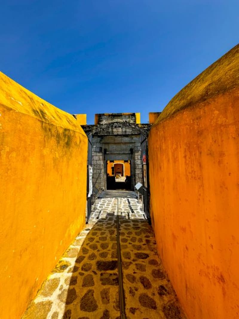 mexico
 Perote
Perote sits at 2,400 meters on the altiplano between Veracruz and Puebla, cold and wind-raked and anchored by the eighteenth-century Fuerte de San Carlos — a star-shaped military fortress that once imprisoned heroes of Mexican independence and now crumbles magnificently beside the main road. It is the kind of town that catches you off guard after the tropical coast.
Explore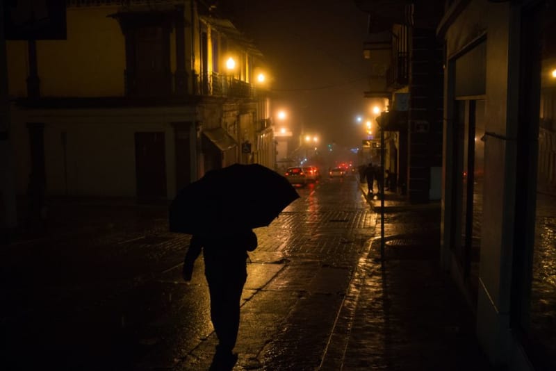 mexico
 Xalapa
The cloud-forest capital of Veracruz — home to the finest Olmec collection in the world, a university city with excellent coffee and perpetual mist, and the gateway to Mexico's best vanilla and coffee country.
Explore