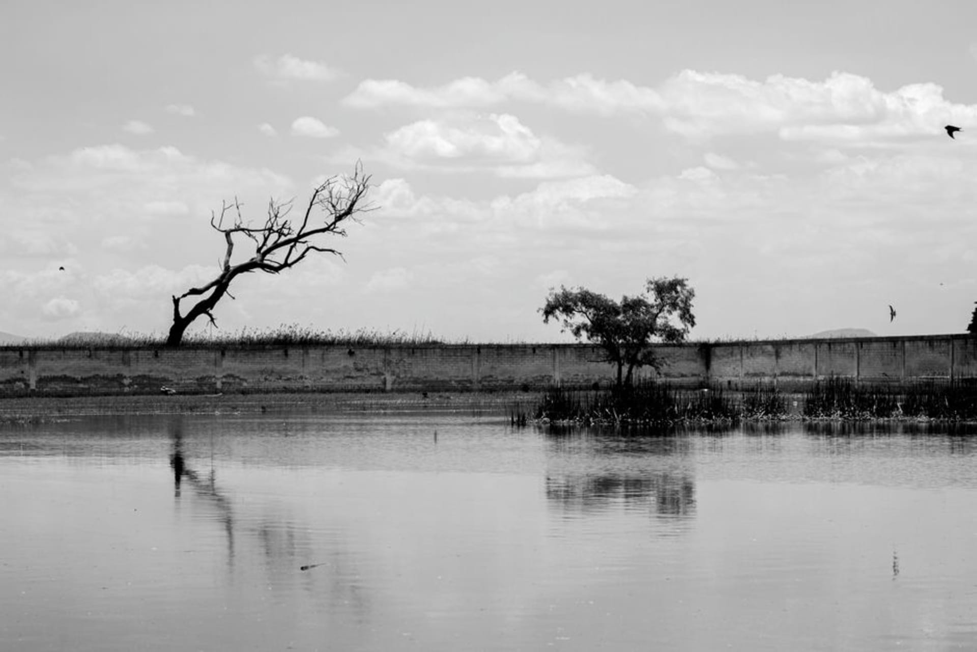
Nativitas Wetlands
"I had come for the ruins. I stayed for the herons standing in the flooded milpa fields at dusk."
A shallow lake and wetland system in the Tlaxcala basin where migratory birds gather from October through March, sitting just below the hilltop archaeological zone of Cacaxtla. Two entirely different kinds of discovery within a few kilometers of each other — neither one the reason most people drive through this part of the altiplano.

I had come for the ruins. I stayed for the herons standing in the flooded milpa fields at dusk. That is the honest version of how I ended up spending two nights in San Miguel del Milagro instead of the one I had planned. I arrived mid-morning in late November, took the colectivo from Tlaxcala city past fields that had already gone underwater at their edges, and stood at the base of the Cacaxtla hill thinking I was doing the responsible tourist thing — archaeology first, birds later. The birds did not respect that schedule.
The Wetlands Below Cacaxtla
The flooded basin around Nativitas is not a formal nature reserve with signage and binoculars for rent. It is agricultural land that goes shallow every autumn when the rains have done their work and the drainage ditches can’t keep up. Corn stubble sticks up through the water in rows. Egrets and great blue herons work the margins with the particular patience that makes watching them feel meditative rather than idle. Between October and March, the wetland pulls in white pelicans, black-necked stilts, and — on the right morning — clouds of tree swallows that move like smoke above the water before settling into the reeds. The best light is an hour before sunset when the basin picks up pink and the birds go still. Walk the raised dirt track that runs along the east side of the fields from the village of Santa María Nativitas toward the old canal — no cars, no entry fee, just mud on your boots.

Cacaxtla on the Hill Above
Cacaxtla is the reason most visitors come to this corner of Tlaxcala, and it earns the trip. The murals here — sheltered under a vast metal roof that gives the site the feel of an enormous aircraft hangar — are among the best-preserved in Mesoamerica. The jaguar warrior panels in Building A date to around 700 CE and the pigment is still vivid enough to stop you mid-step. What I had not expected was how small the actual covered area is. You can move through the main murals in forty minutes, which left me an hour before closing to walk the outer platforms and look down at the wetland spreading below. That view — the flat basin, the water glinting, the volcanoes of Popocatépetl and La Malinche on clear days — puts the murals in a different register. Whoever built here chose the site as much for what they could see as for what they could defend.

Eating in Nativitas
The town of Santa María Nativitas has a small market off the central plaza that runs properly on Sundays. Tlaxcala is pulque country and the curados — pulque blended with fruit, sometimes with tuna cactus, sometimes with guava — are sold cold from large clay pots. I ate tlayudas de frijoles at a stall near the church on both mornings I was there, the kind of breakfast that requires no menu and no decision-making. The woman running the stall also sold atole de guayaba from a clay pot that she kept warm over a charcoal brazier. November mornings at 2,200 meters warrant exactly that.

Getting There
Colectivos run from the Tlaxcala city terminal on Avenida 20 de Noviembre toward Nativitas and San Miguel del Milagro throughout the day — a thirty-minute ride. Cacaxtla is signposted from the main road and a short mototaxi ride from where the colectivo drops you. No car needed, but leave yourself at least two days.
Keep exploring
More of Tlaxcala
Keep exploring
More from Tlaxcala
 mexico
 Santa Ana Chiautempan
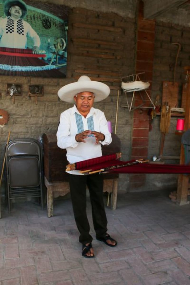
Chiautempan is where Mexico's sarape tradition lives in its most concentrated form — workshops run by the same families for generations, looms clattering through the week, and a Saturday market where the best pieces sell before noon. Most people passing through Tlaxcala city never cross the municipal line. Their loss.
Explore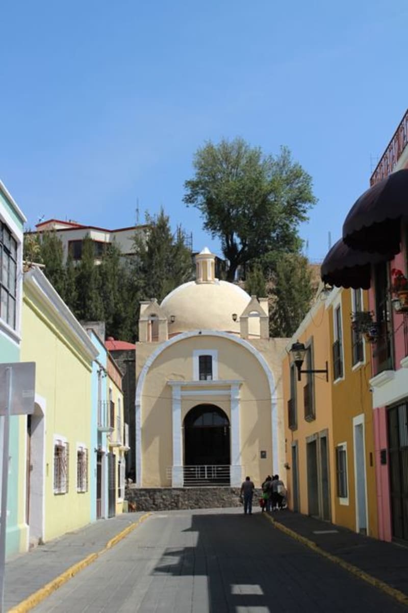 mexico
 Terrenate
A green, pine-forested corner in the cool northeastern highlands of Tlaxcala, near the Puebla border. Mountain air, cold springs, and quiet ranchos on a little-visited edge of Mexico's smallest state.
Explore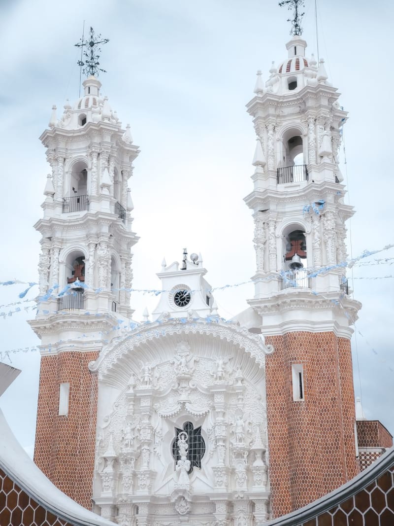 mexico
 Tlaxcala City
The capital of Mexico's smallest state carries a paradox at its heart: the Tlaxcalans were never conquered by the Aztecs, yet they allied with Cortés to bring down Tenochtitlan. A colonial zócalo painted ochre and terracotta, walls covered in Desiderio Hernández Xochitiotzin's dense narrative murals, and a bullring running since the 1500s — this is a city that has spent five centuries sitting with what it chose to do.
Explore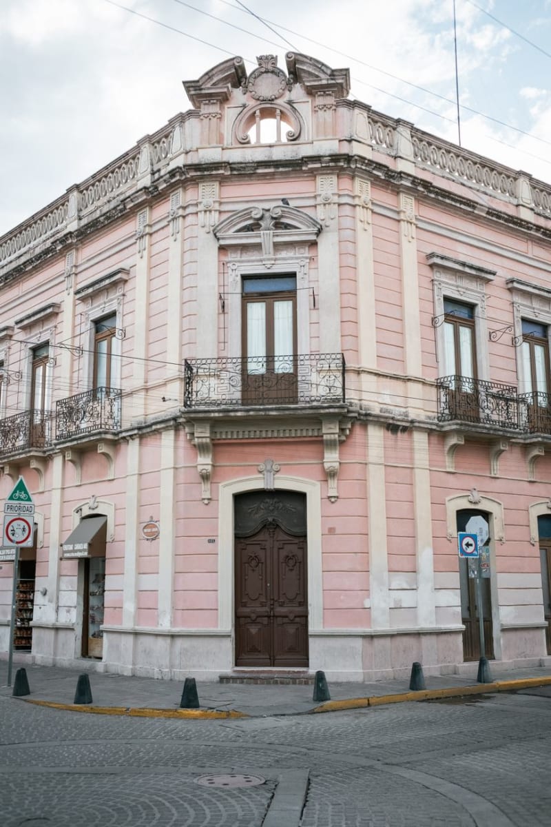 mexico
 Tlaxco
Tlaxco is a Pueblo Mágico in the pine-covered northern highlands of Tlaxcala at 2,400 meters — cold, foggy, maguey country — a completely different Tlaxcala from the warm central valley, and home to pulquerías of the old kind where families make their own and the curado de guayaba is more interesting than anything you'll find in the city.
Explore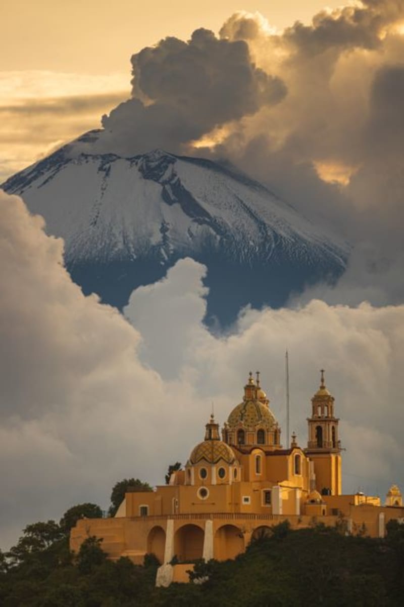 mexico
 Xochitécatl
A hilltop ceremonial center in Tlaxcala that predates Cacaxtla by more than a millennium, Xochitécatl holds four distinct pyramids — including a rare circular one — and unobstructed views of La Malinche that stop you mid-step. The people who built it left no name we can use, which makes the scale of the place feel stranger, and more honest.
Explore mexico
 Apizaco
Apizaco built its identity around the railroad. The junction station here once ranked among the busiest in early 20th-century Mexico, and the town has held on to that history with a train museum that houses full-size steam locomotives under the open sky.
Explore