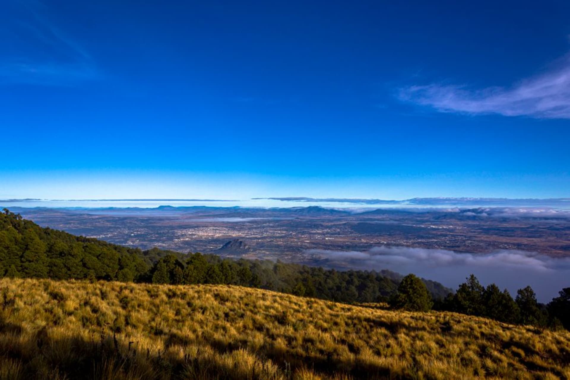
La Malinche (Matlalcuéitl)
"I reached the summit in time to watch Popocatépetl put out a small eruption across the valley — two volcanoes exchanging smoke signals while the rest of Tlaxcala went about its Thursday."
At 4,461 meters, La Malinche is Mexico's fourth-highest peak and its most contested name — a volcano named after Cortés's interpreter that still provokes arguments at dinner tables four centuries on. The climb through pine and oyamel fir is long and solitary, the summit views stretch south to Popocatépetl, and the absence of guided-tour crowds makes it feel genuinely earned.

I drove up from Tlaxcala city before five in the morning, which in June means arriving at the refuge parking area in full dark with a headlamp and the particular regret of someone who set an alarm for three-thirty. At sea level in Puerto Escondido I run on the beach most mornings without giving it much thought. At 3,500 meters — where the paved road ends and the trail begins — I thought about it constantly. The oyamel firs were invisible in the dark. By the time the sky had turned grey enough to see by, I was already above them, breathing with a care I don’t normally bring to breathing.
A Summit Without a Circus
The trail from the Albergue Malintzin to the summit is roughly seven kilometers and takes four to six hours depending on your acclimatization and how honest you’re being with yourself about your pace. There are no guides waiting in the parking lot, no organized groups in matching jackets, no ticket booth. You sign a register, check the weather board, and walk. The path is marked with red blazes on rocks and requires no technical equipment in dry conditions. What it does require is patience: the last kilometer climbs through loose volcanic scree and a wind that arrives without warning and stays. I reached the summit — a rough cairn and a metal cross — at half past nine on a Thursday. Popocatépetl was visible to the southwest, exhaling a thin column of smoke in the morning light. I ate a tortilla I’d bought the previous afternoon at the Mercado Emilio Sánchez Piedras in Tlaxcala and stayed for forty minutes, watching the two volcanoes trade signals across the valley floor.

The Name, and What It Carries
The Nahua name is Matlalcuéitl — roughly, woman of the blue-green skirts — a reference to the forested slopes that, from the valley below, carry a greenish cast at certain hours. The name La Malinche comes from Malintzin, also known as Doña Marina, the indigenous woman from the Gulf Coast who served as Cortés’s interpreter and strategic intermediary during the conquest of Tenochtitlan. Whether she was a traitor or a captive woman navigating impossible circumstances is a debate that has not resolved itself in five centuries. In Mexico the word malinchismo still means preferring foreign things over domestic ones — an insult derived from her name. The Tlaxcalans, who allied with Cortés against the Mexica, have a complicated relationship with all of this. The volcano keeps both names on most maps, which feels right. Some histories refuse to settle, and probably shouldn’t.

Before the Clouds Build
Start before six if you want the summit before the afternoon cloud closes in — by one o’clock in summer, visibility can drop to nothing and lightning risk rises sharply. Dress in layers regardless of the forecast: I left the parking area in a light jacket and was in my down by 4,000 meters. The Albergue Malintzin has basic dormitory beds and a small kitchen; you can reserve through the CONANP office in Tlaxcala city, though mid-week in the off-season I found open beds and paid on arrival. Bring at least two liters of water. There is nothing between the refuge and the summit, and the altitude makes you thirstier than you expect.

Getting There
Tlaxcala city is ninety minutes from Mexico City by ADO bus from TAPO, or around two hours by car via the México-Puebla toll highway. From Tlaxcala, the road to the Albergue Malintzin climbs through the village of San Isidro Buensuceso — follow signs for the Parque Nacional La Malinche. The park charges no entry fee. Best conditions run October through May; summer rains make the upper trail unreliable, and post-November ice on the scree requires crampons.
Keep exploring
More of Tlaxcala
Keep exploring
More from Tlaxcala
 mexico
 Nanacamilpa
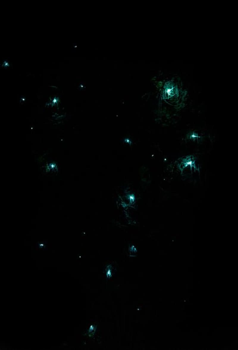
Every July, the oyamel fir forest outside Nanacamilpa hosts one of the more quietly staggering natural events in Mexico: tens of thousands of fireflies blinking in synchronized waves through the dark pines. The ejido-run sanctuary keeps groups small, guides soft-spoken, and the whole thing somehow still feels like a secret.
Explore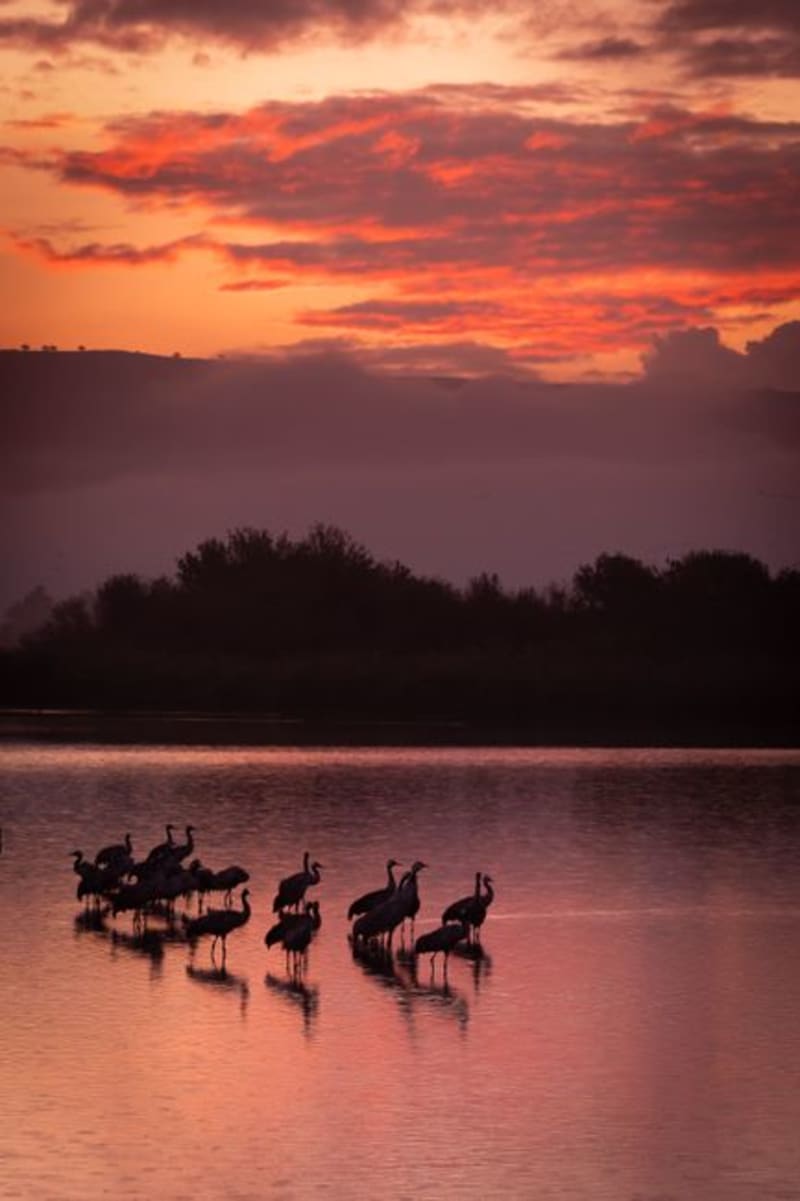 mexico
 Nativitas Wetlands
A shallow lake and wetland system in the Tlaxcala basin where migratory birds gather from October through March, sitting just below the hilltop archaeological zone of Cacaxtla. Two entirely different kinds of discovery within a few kilometers of each other — neither one the reason most people drive through this part of the altiplano.
Explore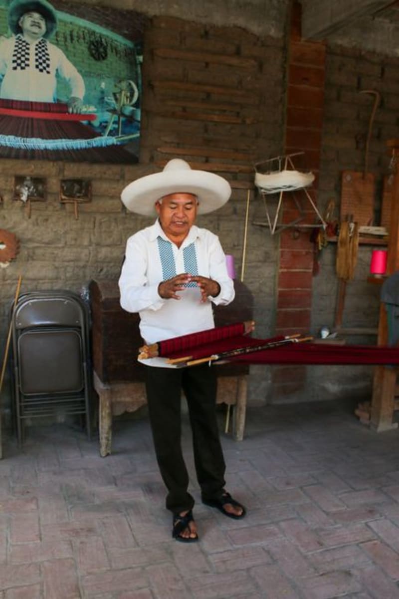 mexico
 Santa Ana Chiautempan
Chiautempan is where Mexico's sarape tradition lives in its most concentrated form — workshops run by the same families for generations, looms clattering through the week, and a Saturday market where the best pieces sell before noon. Most people passing through Tlaxcala city never cross the municipal line. Their loss.
Explore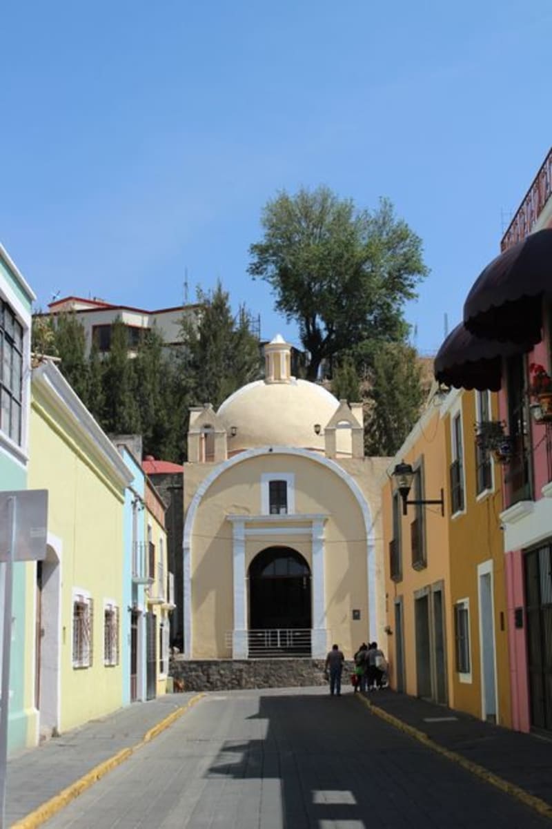 mexico
 Terrenate
A green, pine-forested corner in the cool northeastern highlands of Tlaxcala, near the Puebla border. Mountain air, cold springs, and quiet ranchos on a little-visited edge of Mexico's smallest state.
Explore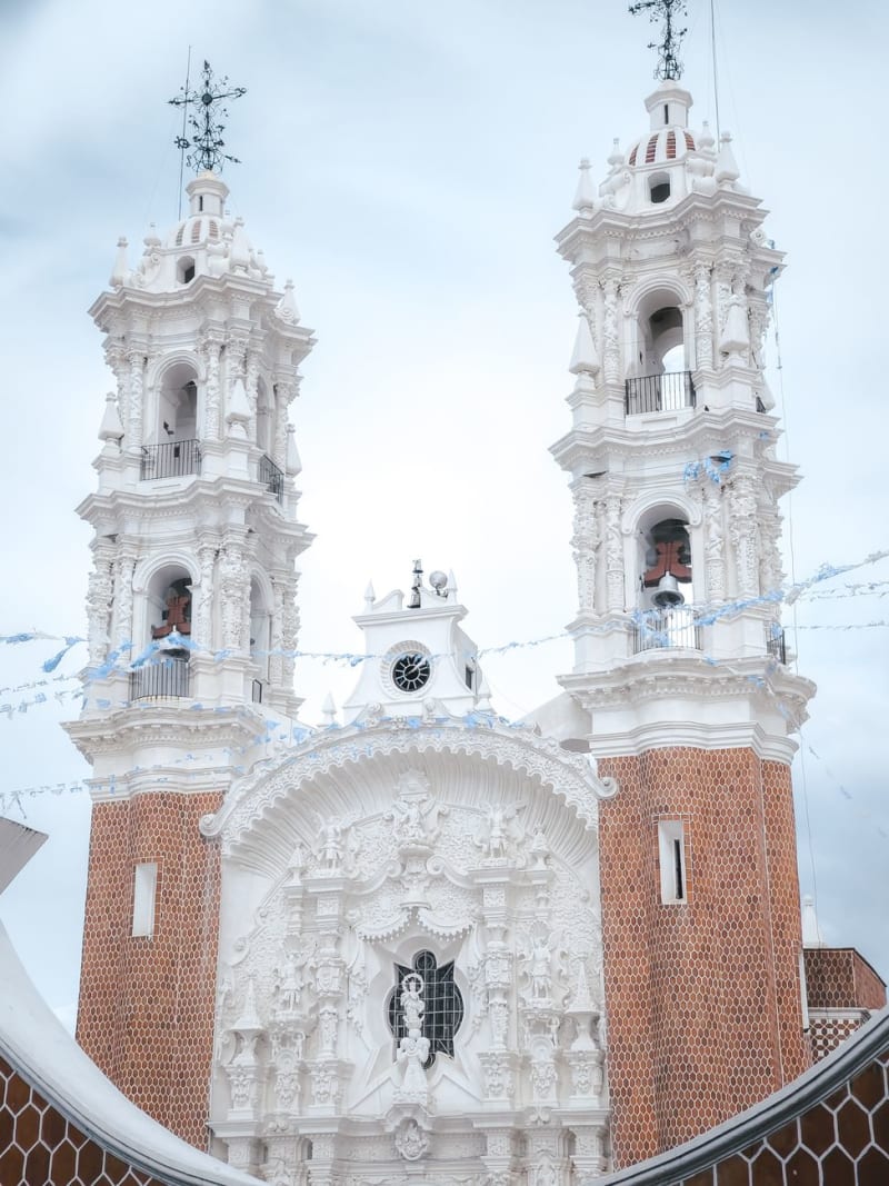 mexico
 Tlaxcala City
The capital of Mexico's smallest state carries a paradox at its heart: the Tlaxcalans were never conquered by the Aztecs, yet they allied with Cortés to bring down Tenochtitlan. A colonial zócalo painted ochre and terracotta, walls covered in Desiderio Hernández Xochitiotzin's dense narrative murals, and a bullring running since the 1500s — this is a city that has spent five centuries sitting with what it chose to do.
Explore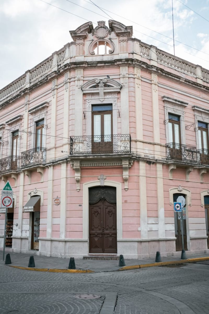 mexico
 Tlaxco
Tlaxco is a Pueblo Mágico in the pine-covered northern highlands of Tlaxcala at 2,400 meters — cold, foggy, maguey country — a completely different Tlaxcala from the warm central valley, and home to pulquerías of the old kind where families make their own and the curado de guayaba is more interesting than anything you'll find in the city.
Explore