
A community ecotourism network in Oaxaca's cloud forest where Zapotec villages manage their own hiking trails and cabins.

The road out of Oaxaca city climbs fast. Within forty minutes the mezcal billboards disappear, the valley floor drops away, and the air coming through the window turns cold and resinous — pine sap and wet earth replacing the diesel and copal of the centro. Lia pressed her face against the glass as the first cloud bank swallowed the truck whole. We couldn’t see twenty meters ahead. That was the Sierra Norte announcing itself.
Eight Villages, One Decision
The Pueblos Mancomunados — eight Zapotec communities including Benito Juárez, Cuajimoloyas, and Lachatao — made a collective decision in the 1990s that still strikes me as quietly radical: they would manage their forests themselves, building trails and hiring local guides before anyone else could arrive to do it for them. The result is one of the most thoughtful ecotourism networks I have encountered anywhere in Mexico. Cabins are owned and staffed by community members. Trail maps were drawn by people who grew up walking these ridges. When you pay the entrance fee at the palapa office in Cuajimoloyas, the money stays in the village.
I noticed this in small ways. The wooden trail markers were carved, not printed. The woman who brought us eggs and black beans at six in the morning had walked from her house three minutes away. Nothing felt imported.
The Cloud Line and the Unexpected Silence
We hiked the Ruta de los Hongos out of Benito Juárez on our second morning, following orange markers through oak forest so thick with lichen it looked upholstered. The cloud sat exactly at 2,800 meters — below it, clear air and long views toward the valley; above it, a dripping, muffled world where sound died at arm’s length. We crossed that line four times during the hike, stepping in and out of two different atmospheres.
The surprise came at a clearing near Llano Grande. I had expected silence up there, but what I found instead was wind noise moving through the trees in slow, rolling waves — a sound like distant applause that arrived and receded without any apparent cause. I stood still for longer than made sense. Some landscapes have a particular acoustic quality that rewires something in the chest. This was one of them.
What to Eat Before the Trail
Breakfast in Cuajimoloyas means tlayudas cooked on a clay comal, their edges charred and blistered, topped with tasajo and the sharp, grainy local quesillo that pulls differently from the braided kind sold in the city markets. There is one comedor on the main square that opens at seven. Arrive before the guided groups do.
When to go: October through February offers the clearest skies after the rains, with cold nights that make the cabin fireplaces feel earned. Avoid Semana Santa and August, when the trails around Cuajimoloyas fill quickly and the community cabins book weeks in advance.
Keep exploring
More of Oaxaca
Keep exploring
More from Oaxaca
 mexico
Coixtlahuaca
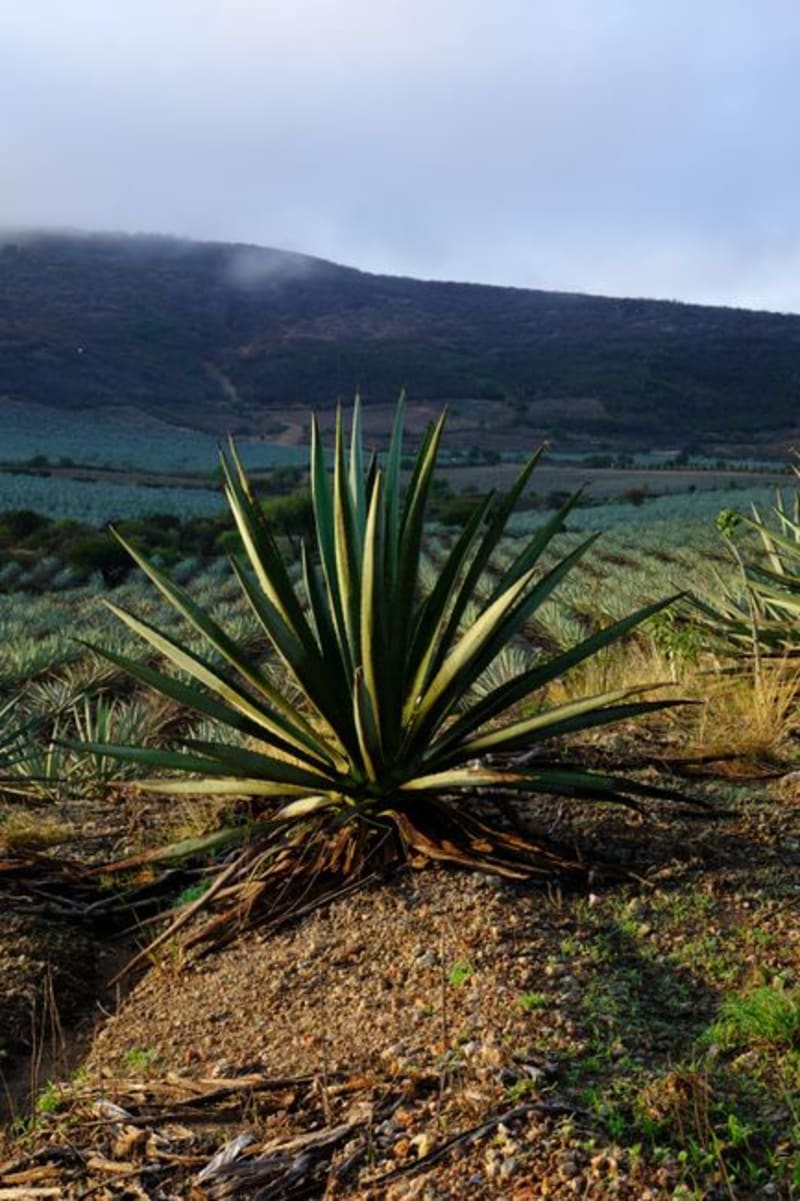
A remote Mixteca Alta town built over a pre-Hispanic trade hub, anchored by a sixteenth-century Dominican ex-convent whose scale and ornamentation feel almost confrontational against the surrounding eroded ridges. Few people come here, which is precisely the point.
Explore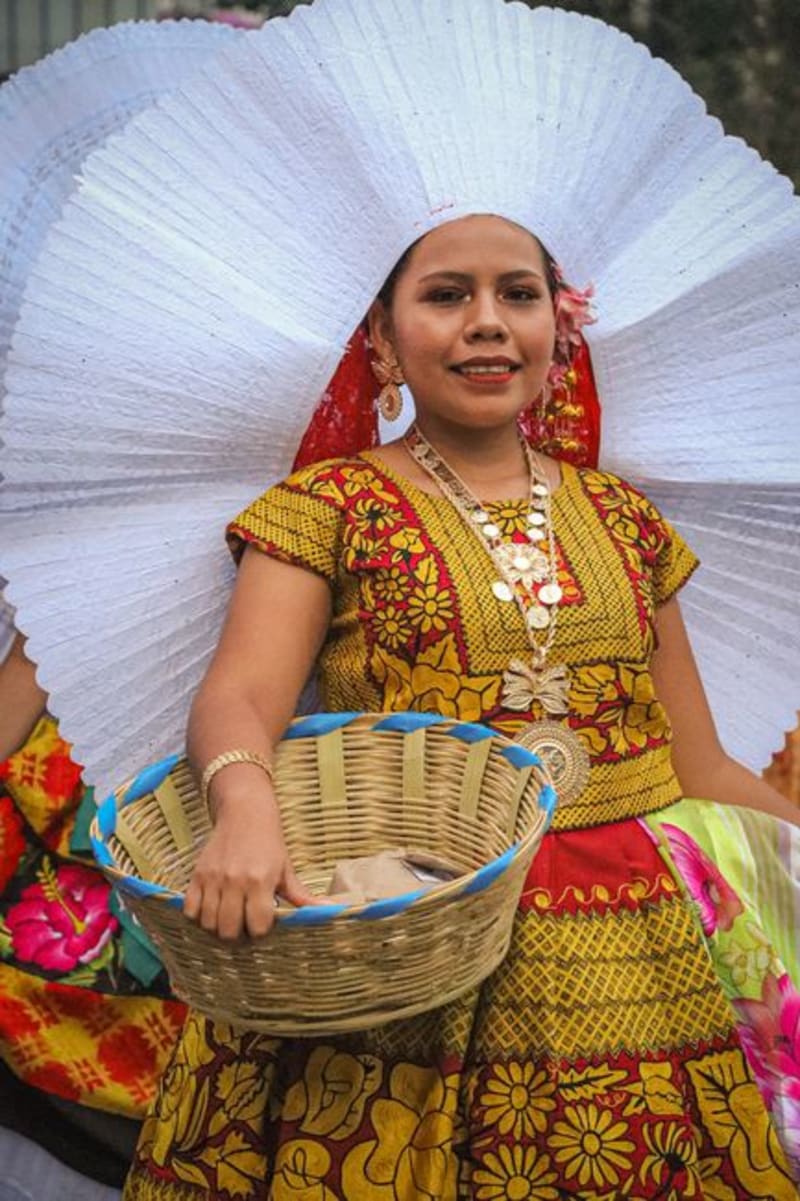 mexico
Tlaxiaco
In the Mixtec highlands of western Oaxaca at over 2,000 meters, Tlaxiaco earns the three-hour mountain drive almost entirely on the strength of its Saturday market — textiles, cheese, and local mezcal from villages you won't find on most maps. The 16th-century Dominican church anchors a plaza that goes from devotional quiet to commercial roar and back again within a single morning.
Explore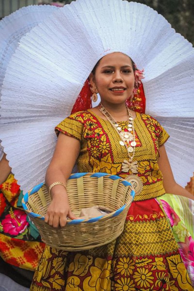 mexico
Santiago Juxtlahuaca
The commercial capital of the Mixteca Baja, Juxtlahuaca is where Mixtec, Triqui, and Amuzgo vendors converge in a market that no tourist shop in Oaxaca city could replicate. The surrounding landscape — eroded canyons, dry hills, towers of cacti — looks like a different country entirely.
Explore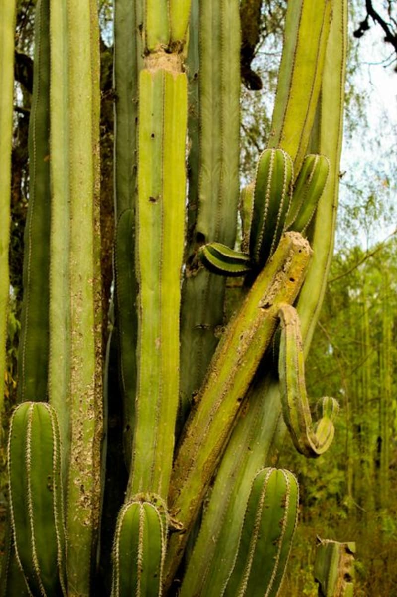 mexico
Cuicatlán
Gateway to the Tehuacán-Cuicatlán canyon biosphere — UNESCO-listed for its extraordinary density of columnar cacti and pre-Hispanic irrigation works threaded through the rock — Cuicatlán is small, dusty, and hotter than it looks on a map. The canyon it overlooks is genuinely otherworldly.
Explore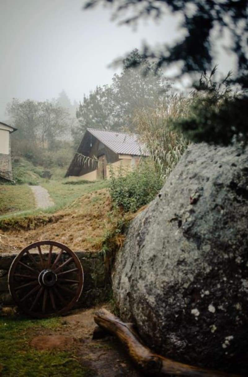 mexico
Huautla de Jiménez
High in the Sierra Mazateca, Huautla de Jiménez sits inside the clouds at nearly 1,700 meters — a Mazatec town that became briefly famous when María Sabina shared her sacred mushroom ceremonies with the outside world, and has been carefully guarding what remains ever since. The road alone justifies the journey.
Explore mexico
Pochutla
The unglamorous transit hub of the Oaxacan coast, where colectivos to Mazunte and Puerto Ángel fill and empty all day and the Sunday market draws Chatino and Zapotec vendors from the sierra with dried shrimp, wild herbs, and ceramics that never make it to the beach towns. Most travelers pass through in fifteen minutes. I started staying longer.
Explore