Uruapan
"Paricutín erupted in February 1943. A farmer named Dionisio Pulido was plowing his field when the ground opened. He watched the volcano grow from zero to 50 meters in the first week."
The Michoacán avocado capital with the world's most extraordinary waterfall cascading through a national park in the city center — and an hour away, the volcanic cone of Paricutín, which erupted in a cornfield in 1943 and buried two towns.

Uruapan is the second city of Michoacán — smaller than Morelia, less celebrated, and home to two things that justify the journey from anywhere in Mexico: the Barranca del Cupatitzio national park (a river gorge in the city center that produces one of the most beautiful waterfalls in Mexico, the Tzaráracua) and, 30 kilometers west, the Volcán Paricutín — the youngest volcano in the Western Hemisphere, born in a farmer’s cornfield in 1943 and now extinct, with the spire of a buried church emerging from the lava field as the most surreal landmark in Michoacán.
The city is also the commercial capital of the Mexican avocado industry — Uruapan and the surrounding Michoacán highlands produce over 40% of the world’s Hass avocados, and the avocado money has made the city larger and more prosperous than its modest fame suggests.
The Barranca del Cupatitzio
The Parque Nacional Barranca del Cupatitzio — a national park that begins at the edge of the city center — follows the Cupatitzio River through a volcanic gorge of extraordinary lushness: tree ferns, orchids, mossy volcanic rock, and the specific microclimate produced by a gorge that channels cold spring water from the volcanic aquifers of the Michoacán plateau.
The river in the park emerges from a spring called La Rodilla del Diablo (The Devil’s Knee) — a volcanic vent where the water appears at full flow directly from the rock, at a constant temperature year-round, without tributaries above. The spring is the beginning of the park walk; the river builds as smaller springs join it through the gorge.
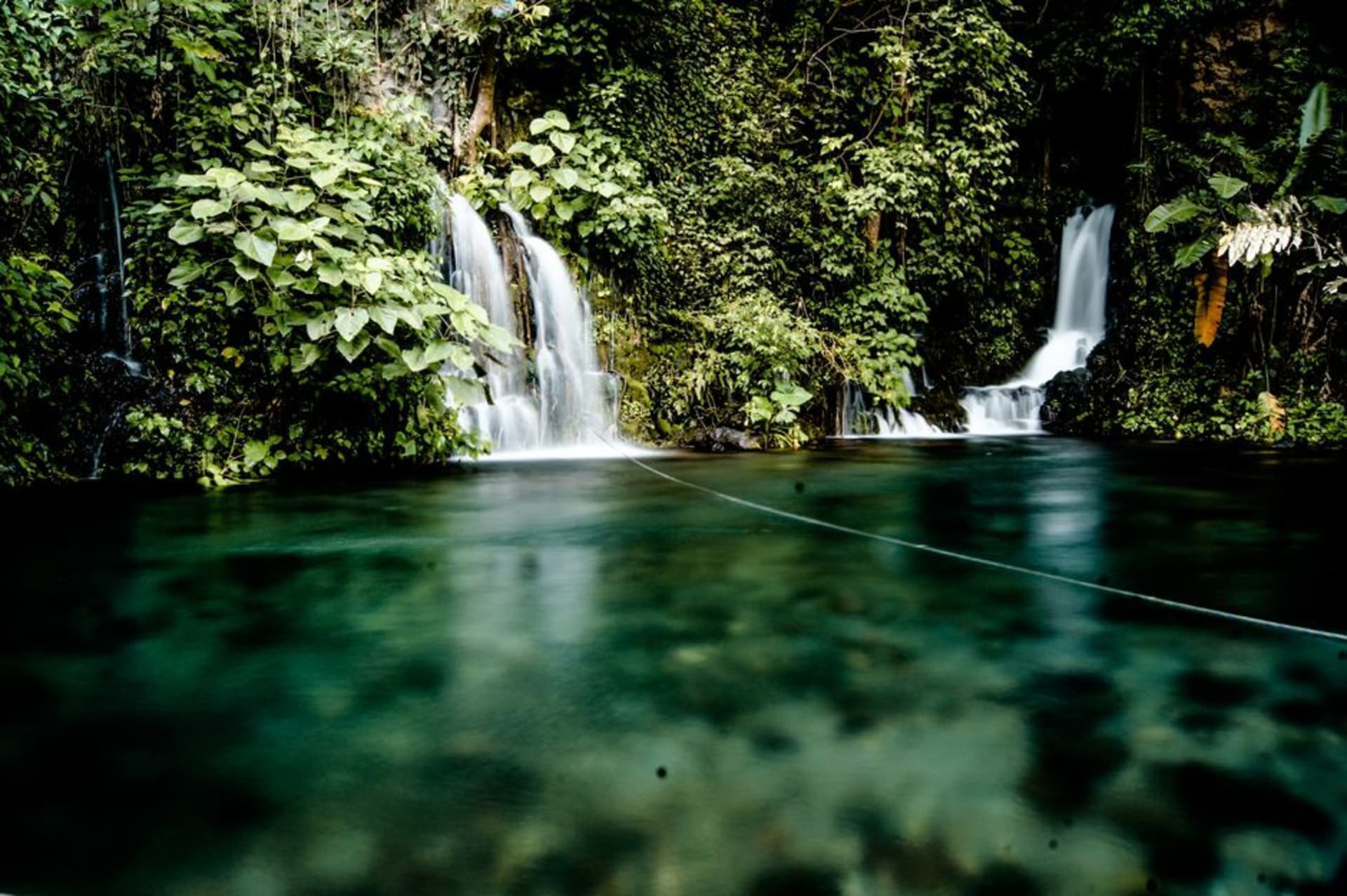
The Cascada de Tzaráracua — twenty minutes by road from the city, at the end of the gorge — falls 25 meters over a basalt ledge into a pool surrounded by subtropical vegetation. The waterfall is one of the most photographed in Michoacán; the experience of it (the mist, the sound, the scale of the basalt walls above the fall) rewards the photography’s limitations. A second fall — Tzararacuita — is accessible by a trail below the main waterfall, and is smaller and less visited.

Paricutín
On February 20, 1943, a farmer named Dionisio Pulido was plowing his field in the village of San Juan Parangaricutiro when a fissure opened in the ground, smoke began to rise, and the ground temperature increased rapidly. Dionisio ran to the village. By that evening, the volcano that would be named Paricutín had a cone 50 meters tall. By the end of the first week, 150 meters. By the end of the first year, 336 meters. The lava flows that followed the eruption over the next nine years buried two villages (San Juan Parangaricutiro and Paricutín) under several meters of basalt and ash, leaving only the bell tower and part of the facade of the San Juan Parangaricutiro church protruding from the lava field.
The church ruins emerging from the black lava — the stone portal of a 16th-century church at the correct height, then nothing but a flat field of cooling basalt to the horizon — is the most surreal sight in Michoacán and one of the more affecting landscapes available in Mexico. The lava field is navigable on foot or by horse; the horses are available from the Purépecha community of San Juan Nuevo Parangaricutiro, 10 kilometers from the site.
The ascent to the Paricutín crater (2,770 meters) takes three to four hours on horseback from the base, through the ash and cinder landscape of the new volcanic cone. The crater is accessible at the rim; the interior is steep and unstable. The guides from San Juan Nuevo know the route and are required for the ascent.

Getting there: Uruapan has an airport with flights from Mexico City. Buses from Morelia (1.5h), Mexico City (5h). For Paricutín: bus or car to Angahuan village (30 minutes from Uruapan), then horse or foot to the church ruins and volcano. The horses and guides are organized through the community tourism cooperative in Angahuan.
When to go: October through May for best weather and clearest visibility at Paricutín. The rainy season (June-September) makes the trails muddier and the volcano less accessible, but the Barranca del Cupatitzio gorge is at its most lush.
Keep exploring
More of Michoacán
Keep exploring
More from Michoacán
 mexico
 Paricutín
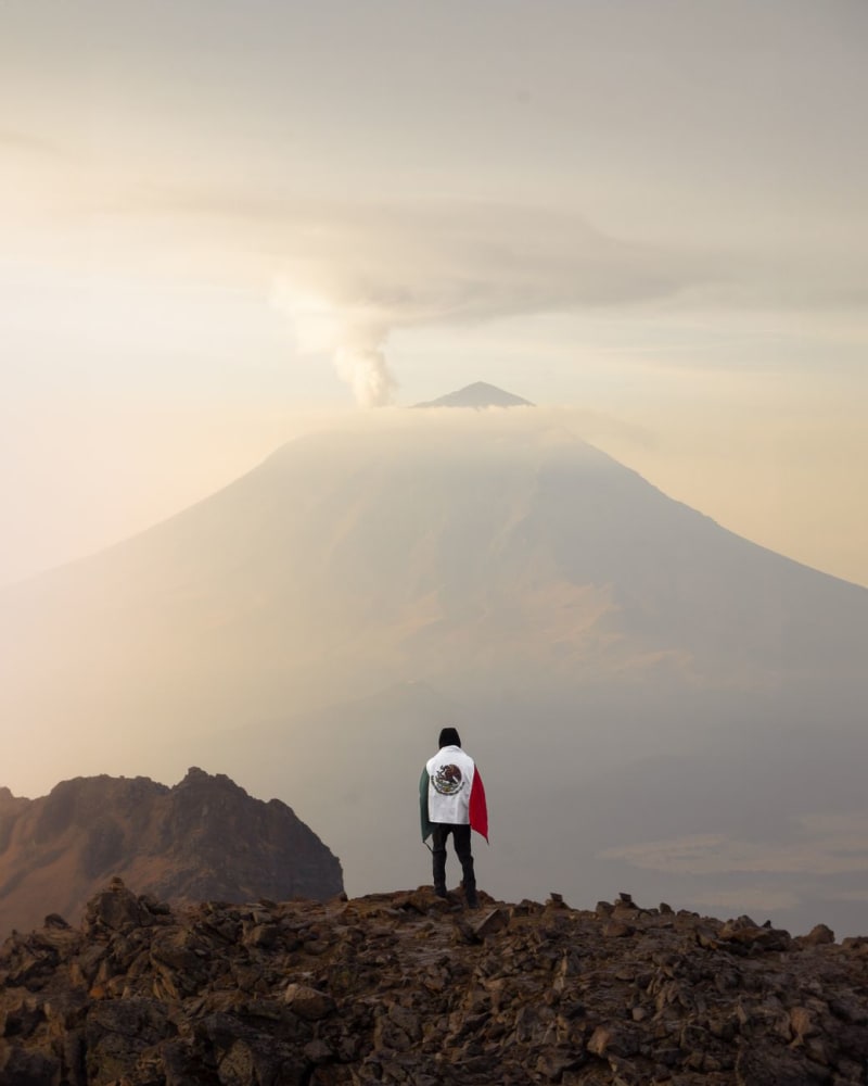
On February 20, 1943, a farmer named Dionisio Pulido heard a rumbling from his cornfield near the P'urhépecha village of Paricutín, and by the next morning there was a ten-meter cone of ash and rock where his crop had been. The volcano that grew from that cornfield buried two villages and grew 336 meters in its first year; the cone is still there, dormant since 1952, and at San Juan Parangaricutiro the church tower of the buried village still rises from the solid black lava field like something a medieval painter might have put in a vision of the end of the world. You walk to it across the lava on a horse or on foot, in morning light that makes the black rock go almost purple, and stand at the tower and try to think about what 1943 was like for the people who watched this happen.
Explore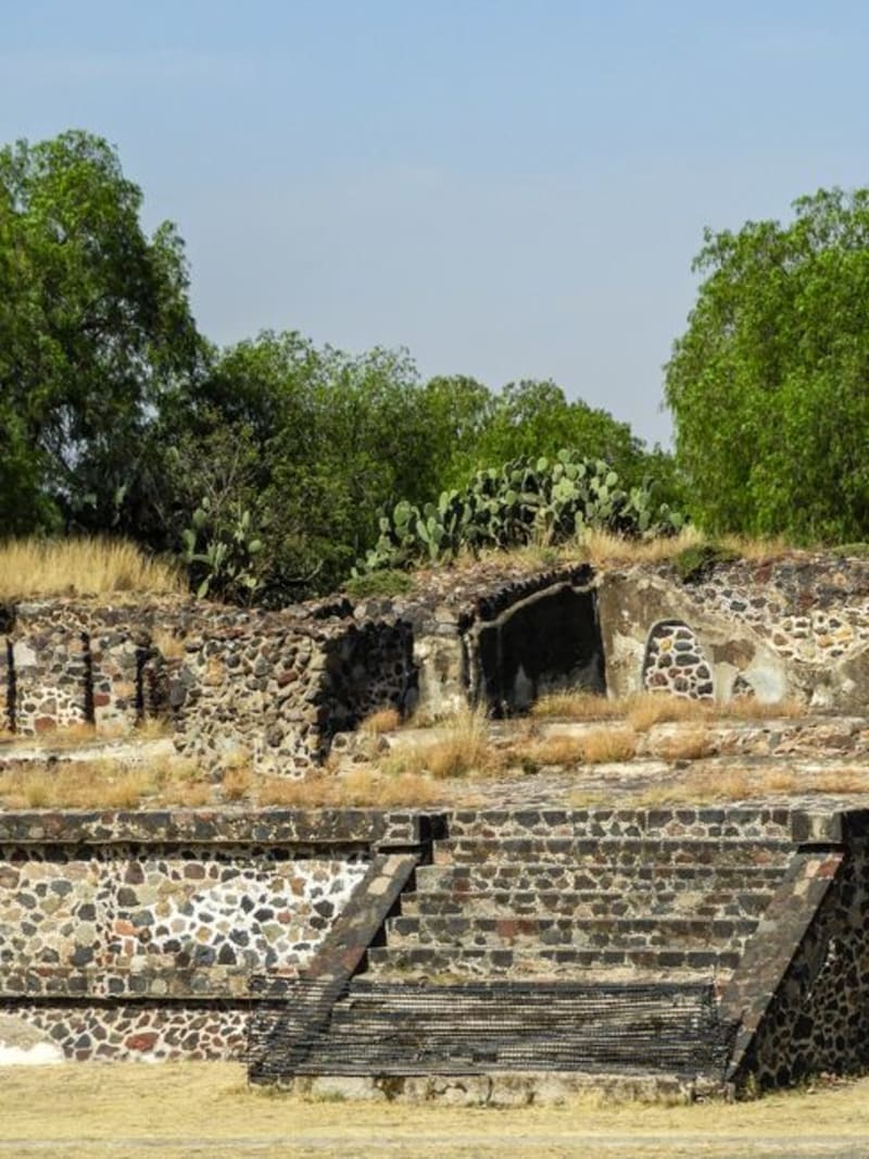 mexico
 Tingambato
Twelve kilometers from Pátzcuaro, Tingambato's archaeological zone sits in pine-forest quiet where most lake-region visitors never venture. The site flourished between 450 and 900 AD, the ball court is among the better-preserved in western Mexico, and you can walk the whole thing without once queuing for a photo.
Explore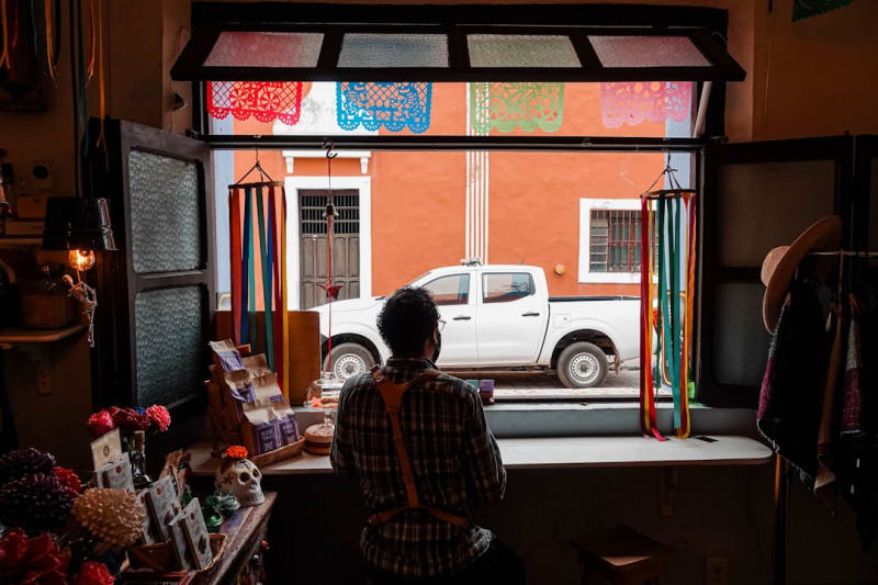 mexico
 Paracho
A Michoacán Purépecha town where every family builds classical guitars — 600 workshops producing 120,000 instruments per year, the luthier knowledge passed from father to son since the Franciscans introduced European string instruments in the 16th century.
Explore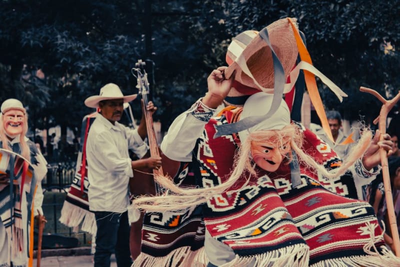 mexico
 Paracho
Paracho is a Purépecha highland town where every family workshop smells of cedar and lacquer and guitar-making has been handed down through generations for centuries. The main street doubles as a living lutherie district, with finished instruments hanging in doorways and the sound of tuning filling the morning air.
Explore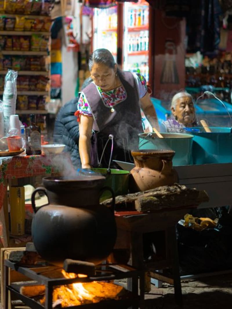 mexico
 Cherán
In 2011, the P'urhépecha community of Cherán expelled timber traffickers, their cartel protection, and the political parties themselves, and began governing their mountain town through neighborhood assemblies. Thirteen years on, the fogatas still burn at every corner, reforestation crews have planted over a million trees, and walking through Cherán feels less like tourism and more like witnessing a small proof that something else is possible.
Explore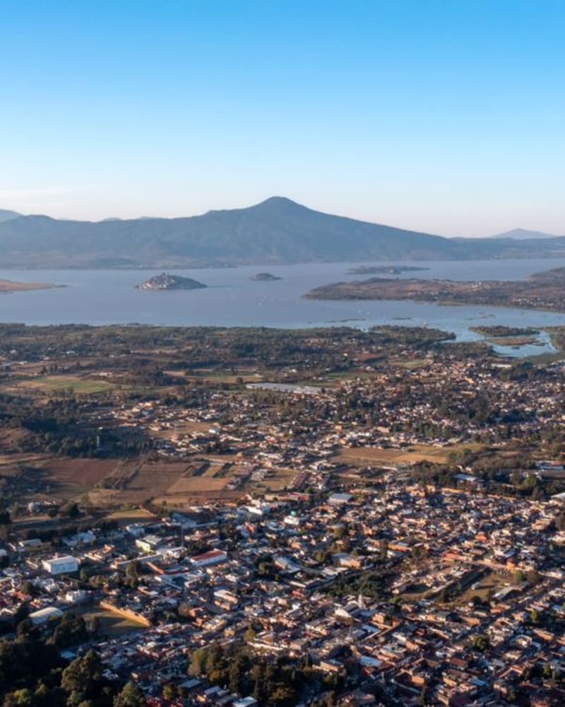 mexico
 Erongaricuaro
A small Purepecha village on the western shore of Lake Patzcuaro where artisan weavers still work backstrap looms, a handful of foreign painters settled decades ago and never left, and the dock offers what might be the quietest hour in all of Michoacán.
Explore