Chínipas
"I arrived expecting another sierra town and found something closer to a tropical secret the map had not bothered to mark clearly."
At the bottom of one of the deepest canyons in the Sierra Madre Occidental, Chínipas sits in a climate that has no business existing this far north — mango trees, subtropical heat, and colonial silence. Getting there is the first commitment. Staying longer than you planned is the second.

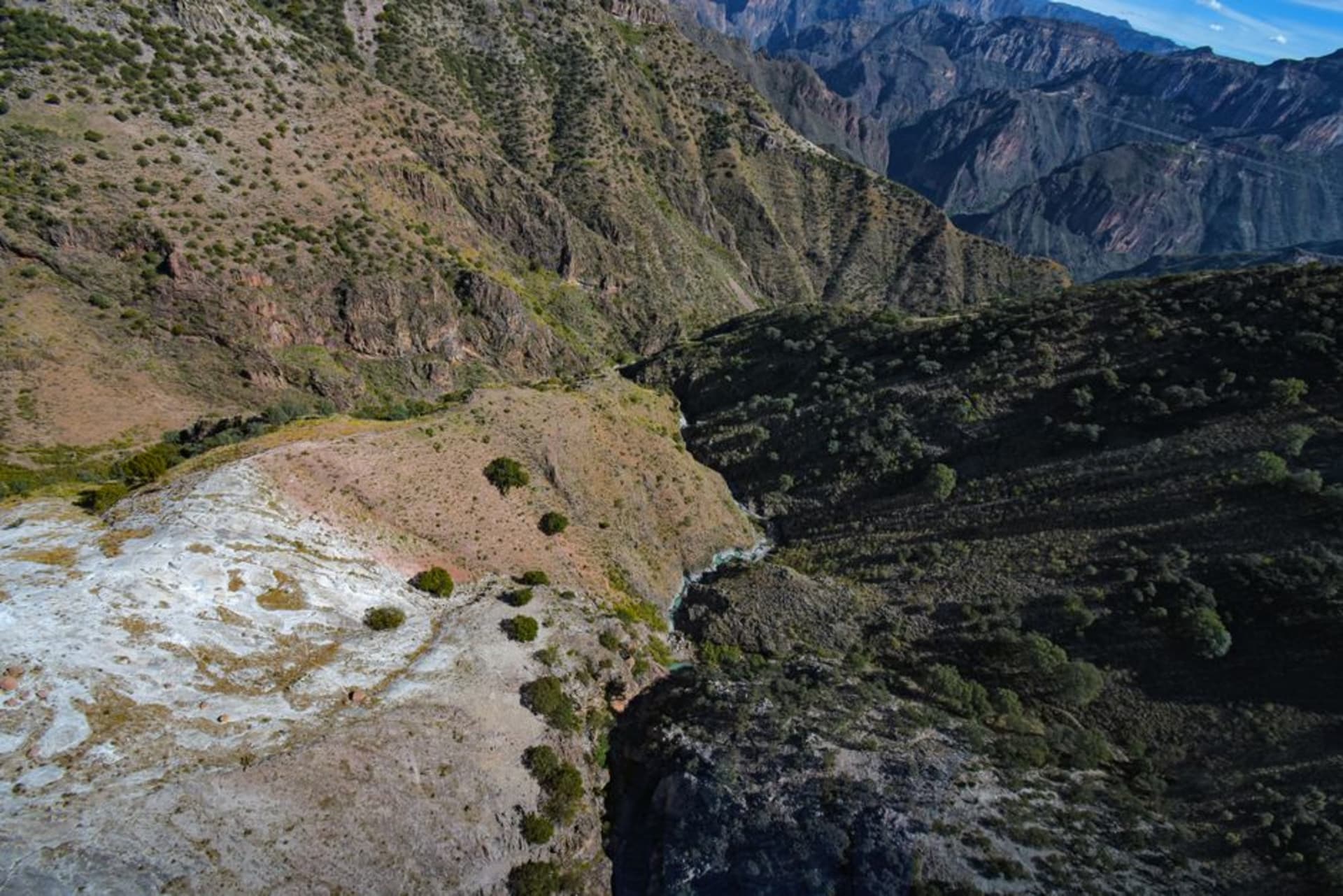
The descent is the thing. You are in pine forest, cool air, the smell of resin and altitude, and then the road — or the train — drops you into a different atmospheric layer entirely. By the time Chínipas appears below, the temperature has climbed ten degrees and something that looks unambiguously like a mango tree is growing next to a whitewashed eighteenth-century church. I sat with that image for a while before I trusted it. The Sierra Madre has a habit of offering you things you were not prepared to receive.
A Canyon That Changes the Weather
The Barranca de Chínipas is not one of the canyons that makes it onto the postcards — that distinction belongs to the Copper Canyon system an hour to the north — but it earns its own category. The walls drop sharply enough that the sun arrives late and leaves early, and in the hours between, the heat pools at the river’s edge with the particular density of tropical lowlands. The Río Chínipas moves slowly through the bottom, green and wide, and locals swim in it with the unhurried manner of people who know the water will be there tomorrow.
What makes the geography strange and interesting is the vertical range. Standing in the plaza, you are in the subtropics. Looking up at the canyon rim, you are looking at pine and oak forest. The Guarijío people — the Makurawe — have lived in this vertical territory for centuries, moving between those climate zones with a practical fluency that colonial maps never quite captured. Their presence in the surrounding ejidos remains significant, and a few communities maintain ceremonial traditions tied to the agricultural rhythms of both altitude zones.

The Town, Which Is Smaller Than It Sounds
There are perhaps two thousand people in Chínipas proper. The plaza is colonial and unhurried. The Iglesia de San Francisco de Asís, built in the mission era, has the thick adobe walls and cool interior that made sense before air conditioning existed and still makes sense now. In the afternoon, men play dominoes under the portales and nobody seems to be in a rush to finish anything.
Food here is sierra food with a tropical undertow. I ate chilorio folded into gorditas at a small comedor on the main street — no sign outside, three tables inside — and the owner brought out sliced mango from her own tree as an afterthought, the way you bring out bread. The mango was so ripe it was almost embarrassing. River fish appears on some menus, usually fried whole, and the local cheese is firm and salty and worth asking after.

Timing and Temperament
Come between October and March if you have a choice. Summer in the barranca is serious heat — the kind that makes shade feel like a moral position. The dry-season months bring clear skies and temperatures that allow you to actually walk without negotiating with your own body. Early morning at the river is worth the alarm. The light comes over the canyon rim in stages, and for about forty minutes it lands on the water at an angle that does not belong to anywhere else I have been in Mexico.
There is one or two places to sleep in town. Book ahead, or ask at the plaza — someone will know of a room.

Getting There
The Ferrochihuahua train stops at Loreto station, from which a dirt road descends into the barranca — shared taxis make the run when the train arrives. By road from Álamos or Chihuahua city, expect switchbacks and patience; the route is beautiful and takes longer than the map suggests. There is no shortcut, and that is part of the arrangement.
Keep exploring
More of Chihuahua
Keep exploring
More from Chihuahua
 mexico
 Témoris
Témoris is not a destination so much as a phenomenon — a place the Chepe train visits three times at three different altitudes, threading the same canyon through loops and tunnels until the valley stops making geometric sense. The village at the bottom asks nothing of you, which turns out to be exactly what you needed.
Explore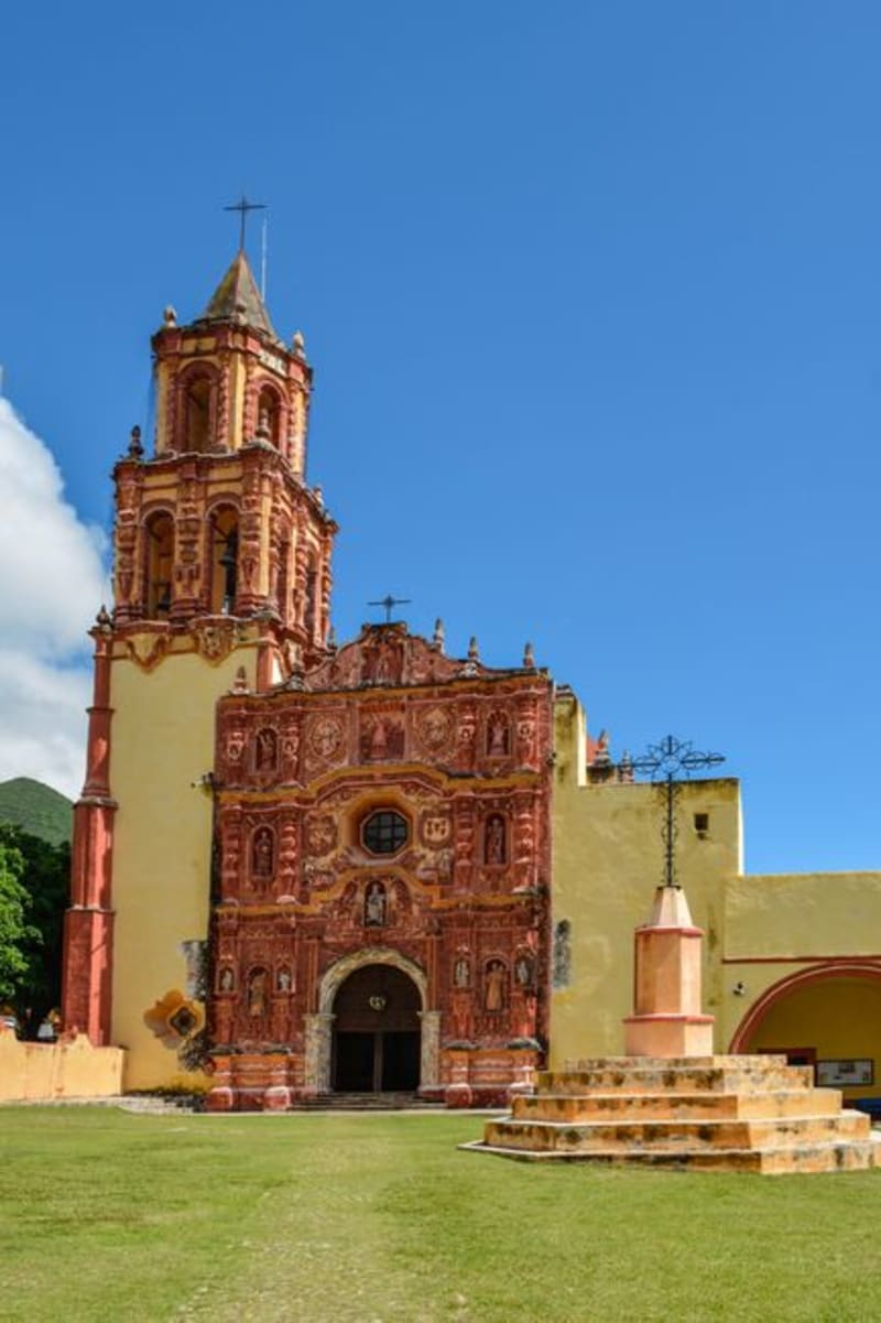 mexico
 Cerocahui
A Jesuit mission village tucked into a pine-forested valley of the Sierra Tarahumara, reached by a rough dirt road from the Copper Canyon train. Most passengers stay on board. That is precisely the point.
Explore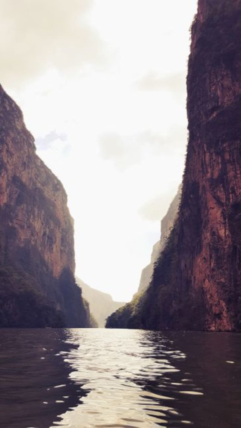 mexico
 Urique
Urique sits at the floor of a canyon deeper than the Grand Canyon, reachable only by two hours of switchback road that drops a vertical kilometer into relentless heat. It is where the Rarámuri have been running impossibly long distances for centuries, and where the canyon walls close in tight enough to make you feel, genuinely, that the rest of the world has ceased to exist.
Explore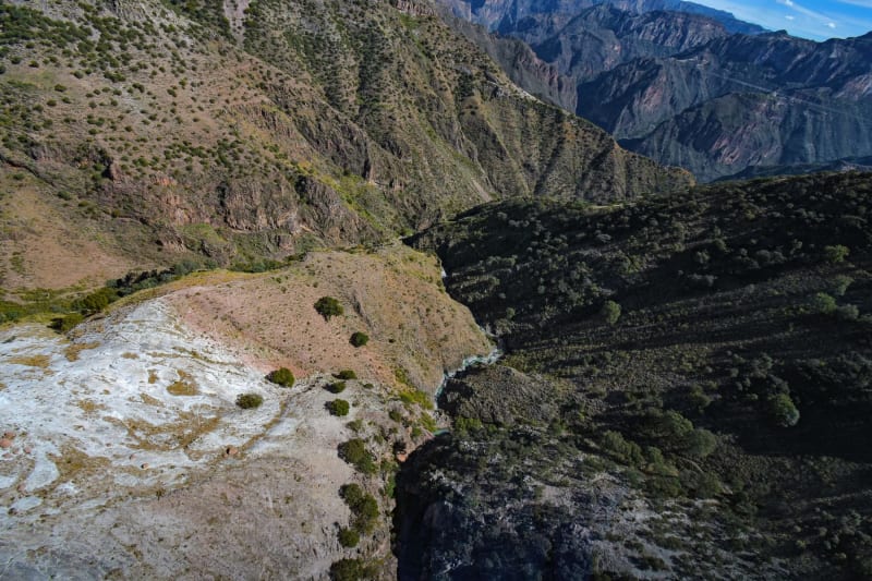 mexico
 Copper Canyon
Four times the size of the Grand Canyon, this Chihuahuan labyrinth is traversed by one of the world's great train rides.
Explore mexico
 Moris
Moris sits in the foothills where Chihuahua dissolves into Sonora, a small town that most Mexicans have never heard of and almost no foreigner has thought to visit. The reason to come is a waterfall that drops into a swimming hole of cold, crystalline water so clear it looks edited. Getting there requires forty-five minutes of dirt road and a car that you are not too attached to.
Explore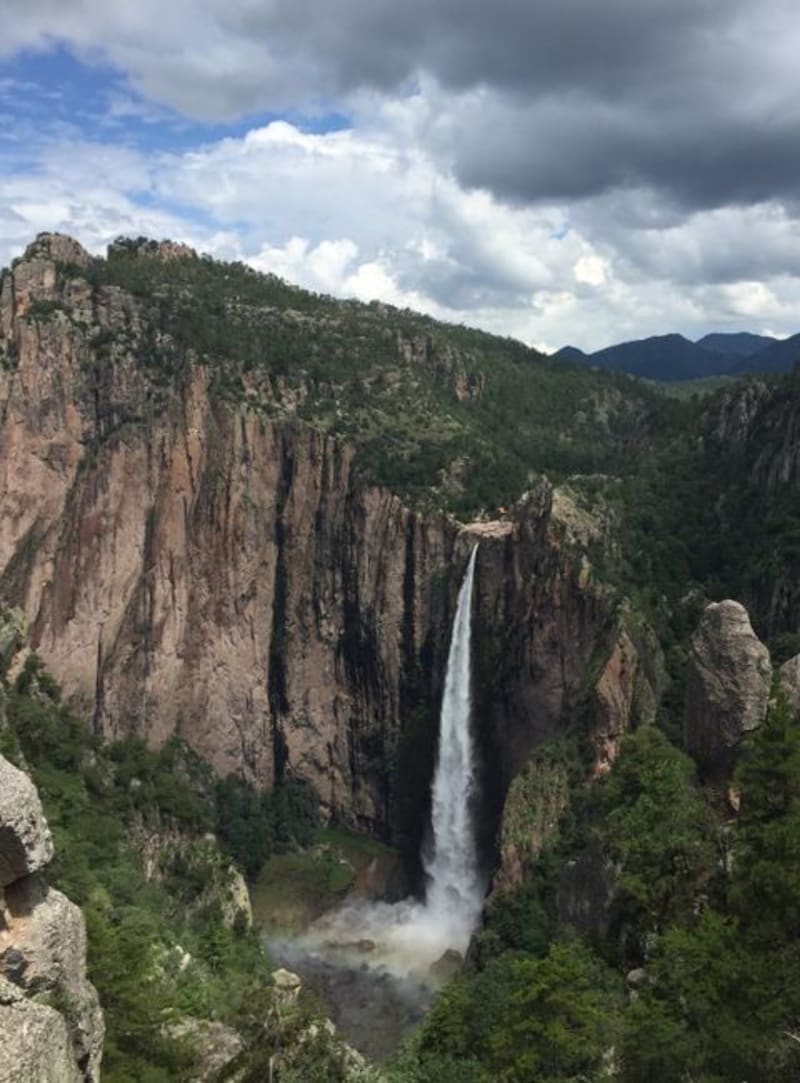 mexico
 Cascada de Basaseachi
At 246 metres, Basaseachi is the longest single-drop waterfall in Mexico, plunging into a canyon so deep the mist barely reaches the rim where you stand. The surrounding Sierra Tarahumara feels wilder and less trafficked than Copper Canyon proper, which is part of why the hike down to the pool — steep, loose-scree, unforgettable — rewards the effort.
Explore