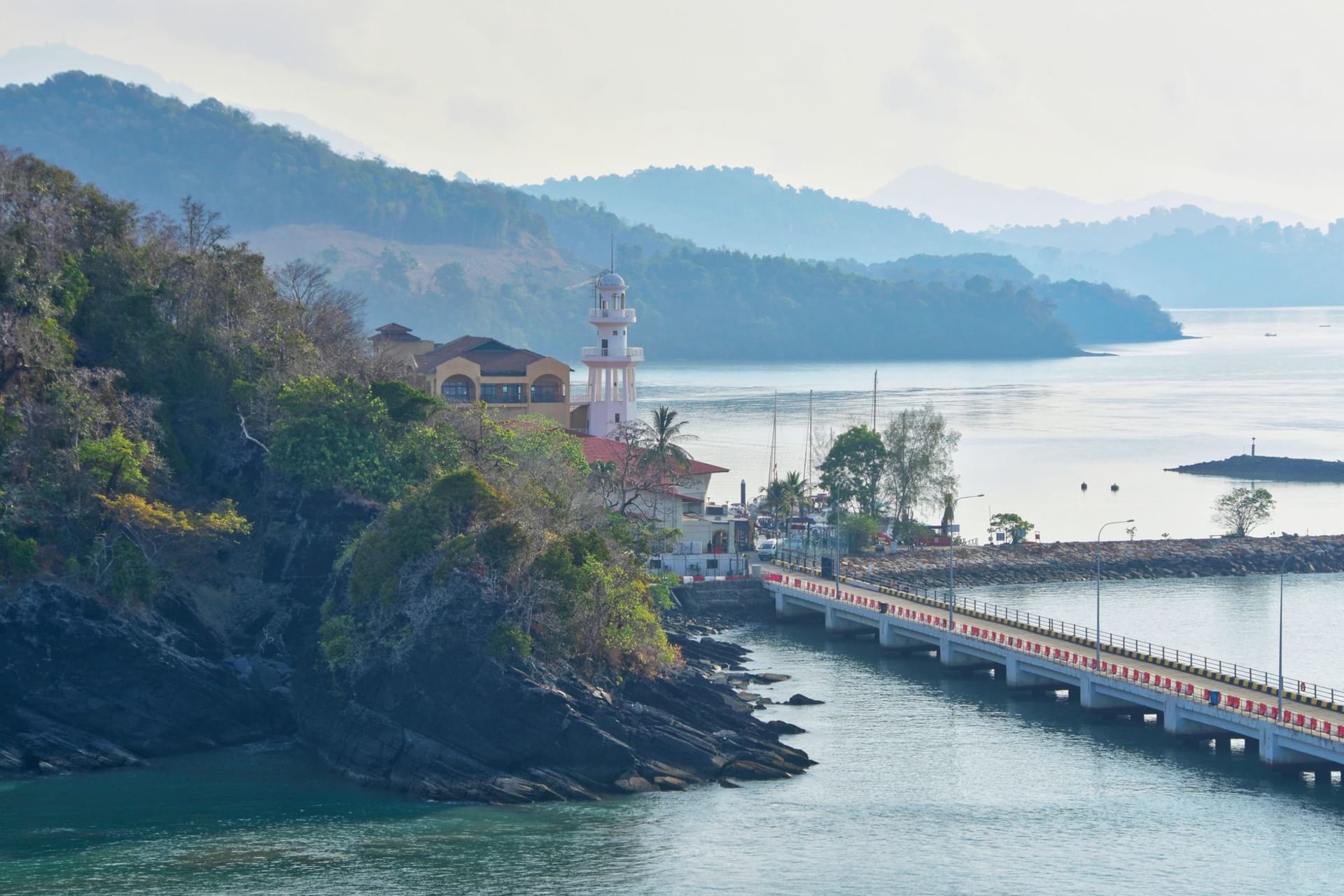
Gunung Mat Cincang
"At 700 meters, the clouds weren't below me yet — they were level with me, and moving."
Langkawi's highest peak offers a cable car ascent through jungle to a sky bridge swaying 700 meters above the Andaman.

The trick is arriving before eight. I know this now because I arrived at nine-thirty on my first attempt and spent forty minutes in a queue that shuffled forward at the pace of geological time, surrounded by tour groups posing for photographs at every available surface. By the time I reached the gondola I had mostly given up on transcendence. The mountain, to its credit, provided it anyway.
Gunung Mat Cincang is the older of Langkawi’s two main peaks — older in the geological sense, a 550-million-year-old granodiorite mass that was here when the limestone karsts hadn’t even formed yet. The cable car ascent covers roughly two kilometers of forest, rising steeply through jungle that changes character as the elevation climbs: lowland dipterocarp giving way to mossy highland species, the temperature dropping noticeably as the gondola swings through the upper section of canopy. By the time the upper station appears, the forest around it looks different — quieter, damper, older in some way I can’t entirely articulate.

The sky bridge has a reputation for being a tourist gimmick. I want to be honest about this: it is a tourist gimmick, and the view from it is extraordinary, and both of these things are simultaneously true. The bridge hangs between two peaks, a curved walkway over a valley that drops away into dense jungle, and when you’re standing on it with the morning air moving through it and the treetops visible below you and, on a clear day, the whole Andaman coast visible to the horizon — the absurdity of the gondola queue dissolves completely. I spent twenty minutes just leaning on the railing looking northwest toward Thailand, watching the cloud shadows move across the sea far below.
Coming down, I took the middle station detour to look at the second gondola point and ended up spending longer than expected watching what I was fairly sure was a colugo — a flying lemur — pressed flat against the bark of a tree near the station building, so still and bark-textured that I nearly walked past it. A child in a school group pointed it out, which was humbling. The guides nearby recognized it immediately and gathered the children around. For five minutes, in the middle of a busy cable car attraction, we all stood quietly looking at a nocturnal glider who had misread the schedule.
The descent on foot is technically possible via a jungle trail from the middle station — I have met people who’ve done it and who describe it with the combination of pride and mild trauma that suggests it was not entirely straightforward. Most people take the cable car back, which is the sensible option unless you have appropriate footwear and three hours you’re comfortable spending on a steep path that may or may not be well-maintained depending on the season.
When to go: November through February gives you the clearest days and the best odds of seeing Thailand on the horizon. Go early — the first gondola runs around nine, but the queues build fast after ten and the haze typically sets in before noon. The cable car closes during high winds and heavy rain; the southwest monsoon months of June through September bring frequent closures and persistent cloud that eliminates the views entirely.
Keep exploring
More from Langkawi
 langkawi
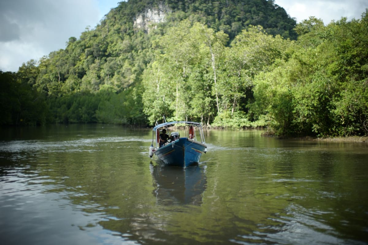
Kilim Geoforest Park
A labyrinth of mangrove rivers and limestone caves where monitor lizards and brahminy kites make you feel like a guest.
Explore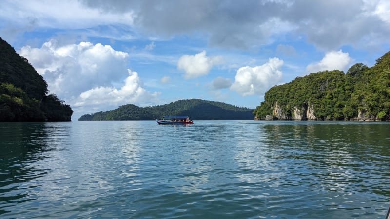 langkawi
Kuah
The island's busy ferry port and duty-free capital — best experienced as a place to eat, wander, and feel the island's actual pulse.
Explore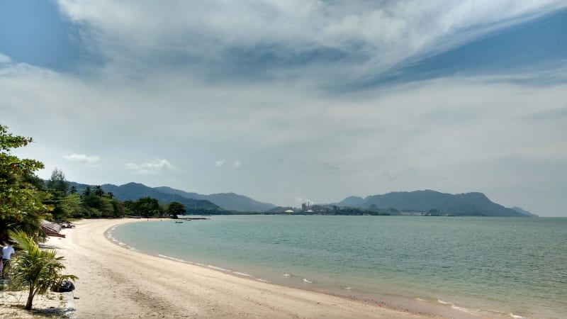 langkawi
Pantai Cenang
Langkawi's most social beach — noisy, crowded at sunset, excellent for cheap seafood and cold beer on the sand.
Explore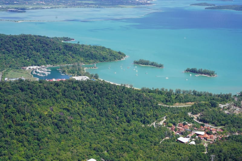 langkawi
Pantai Tengah
The quieter beach just south of Cenang — a mix of local restaurants and low-key resorts where the evenings feel genuinely unhurried.
Explore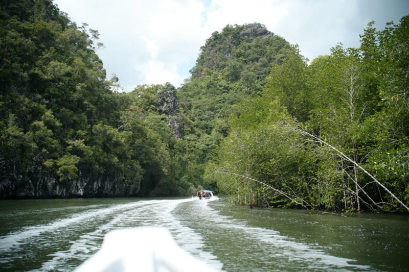 langkawi
Pulau Dayang Bunting
A freshwater lake hidden inside a limestone island — swimming in the jungle, surrounded by sea, with monkeys watching from the trees.
Explore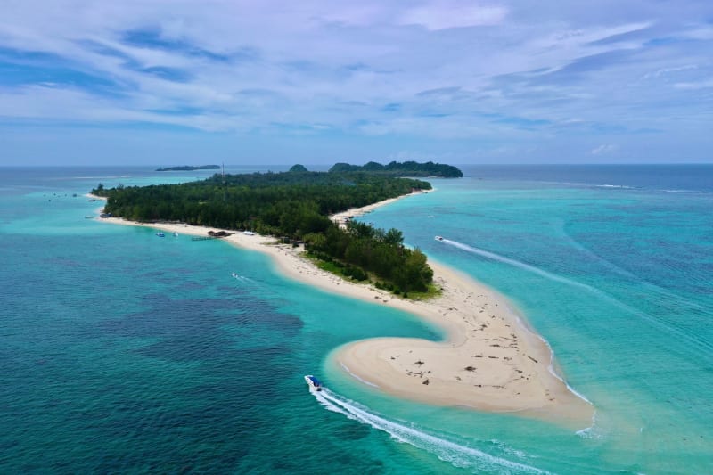 langkawi
Pulau Payar Marine Park
A protected cluster of islands an hour south of Langkawi where blacktip reef sharks circle your ankles in the shallows and the coral does the rest of the talking.
Explore