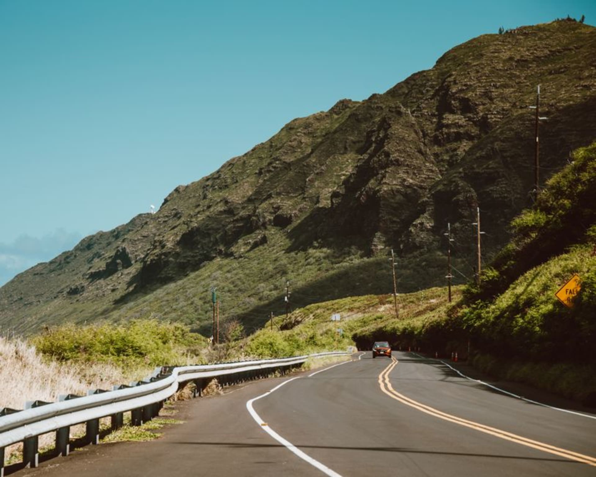
Kamehameha V Highway
"Twenty-seven miles took us most of a morning, and I wouldn't have driven it any faster."
The east-end coastal road on Molokai that turns a forty-minute drive into a two-hour event, threading fishponds, one-lane bridges, and jungle so thick it presses against the windshield.

The highway that runs along Molokai’s east end doesn’t announce itself as a destination. It’s the road you technically need to reach Halawa Valley, a means to an end on a map. In practice it is the destination, or close enough that I stopped twice as often to look at the road itself as I did to look at anything the road led to.
A Road Built for a Different Century
Named for Kamehameha V, the highway narrows to one lane within the first few miles out of Kaunakakai, crossing small concrete bridges over stream mouths where local kids fish in the afternoon. Ancient Hawaiian fishponds — kuapā, rock walls built centuries ago to trap fish on the incoming tide — line the shallows along much of the drive, some restored, some slowly returning to the sea. I pulled over at one near Kaloko’eli and watched a heron stand motionless in the shallow water for longer than felt biologically reasonable.

The Jungle Closing In
Past the small settlements the road climbs and dips through increasingly dense vegetation — mango trees heavy with unpicked fruit, banyan roots crossing the pavement, the kind of green that seems to be actively encroaching rather than simply existing alongside the road. Waterfalls appear in glimpses on the mountainside to the left, most without names on any map I found, some running only after rain.
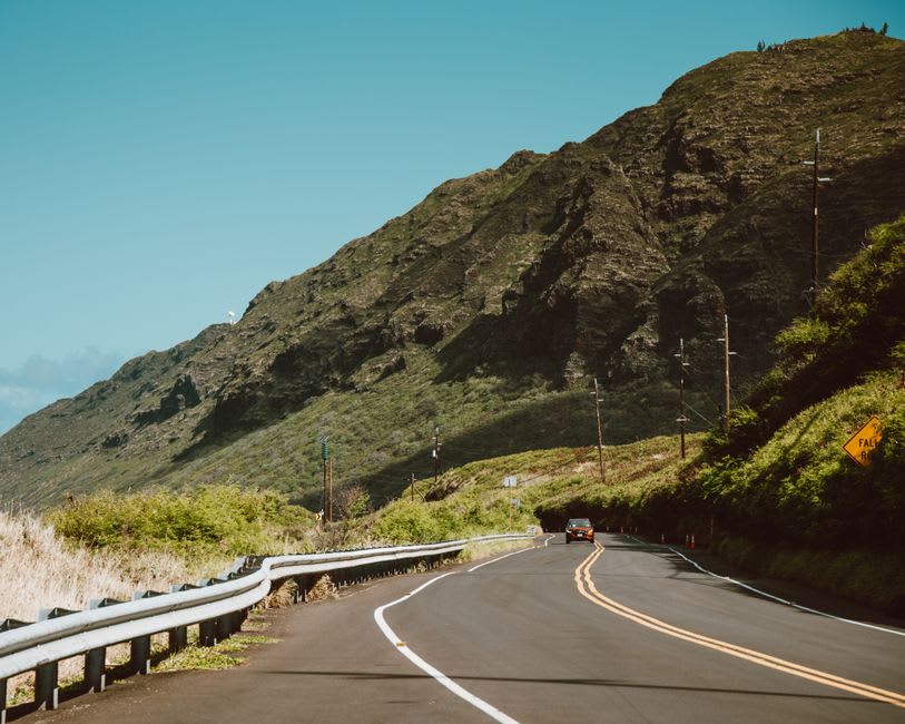
Lia drove one direction, I drove the other, and we both independently decided the return trip revealed things the first pass missed — a roadside stand selling apple bananas from an honesty box, a turnoff to a beach we hadn’t clocked, a view of Maui across the channel that only opens up at a specific bend heading west.
There are no gas stations past Kaunakakai, no real services once you commit to the drive, so it rewards preparation more than spontaneity. But it’s the kind of road that makes you understand an island’s whole character in the space of an hour behind the wheel.
When to go: Year-round, though a light rain the day before brings the waterfalls out and makes the green even more saturated. Drive it slowly regardless of season — the road is genuinely narrow, and locals use it as a real commuter route, not a scenic drive.
Keep exploring
More from Hawai'i
 hawaii
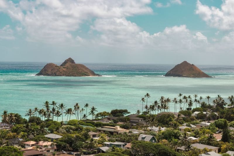
 Kailua
The beach town Waikiki wishes it still was — powder sand, kayaks to the Mokulua islands, and a main street with no high-rises in sight.
Explore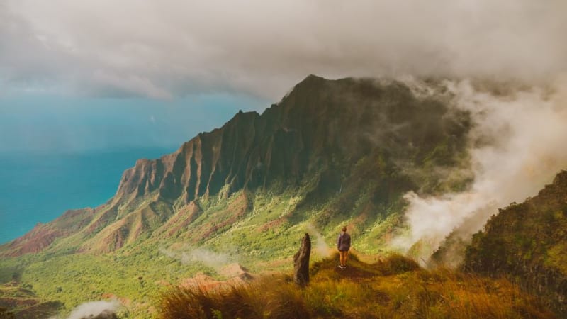 hawaii
 Kalaupapa Lookout
The overlook above Molokai's north shore where the peninsula and the world's tallest sea cliffs appear together in one impossible frame, no mule ride required.
Explore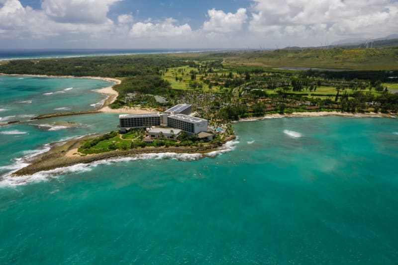 hawaii
 Kalihiwai Bay
A hidden north shore bay reached down an unmarked road, where a river mouth, a sandy beach, and a waterfall all share the same valley.
Explore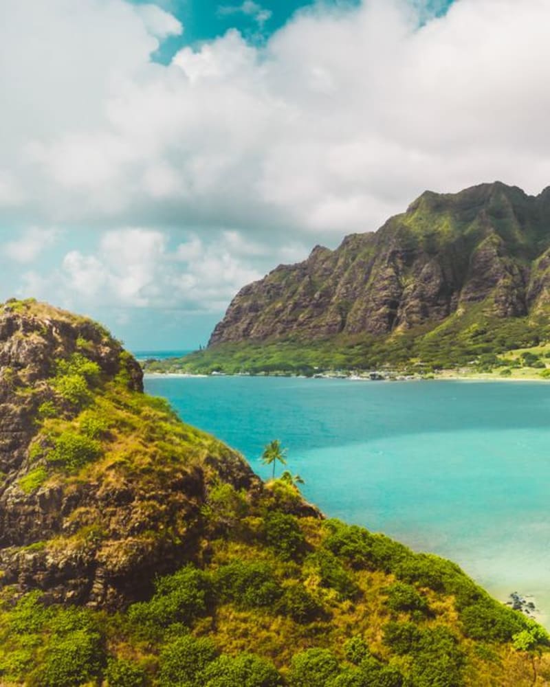 hawaii
 Kaneohe
A working windward town with a sandbar in the middle of the bay and a full-scale replica Buddhist temple tucked against the Ko'olau cliffs.
Explore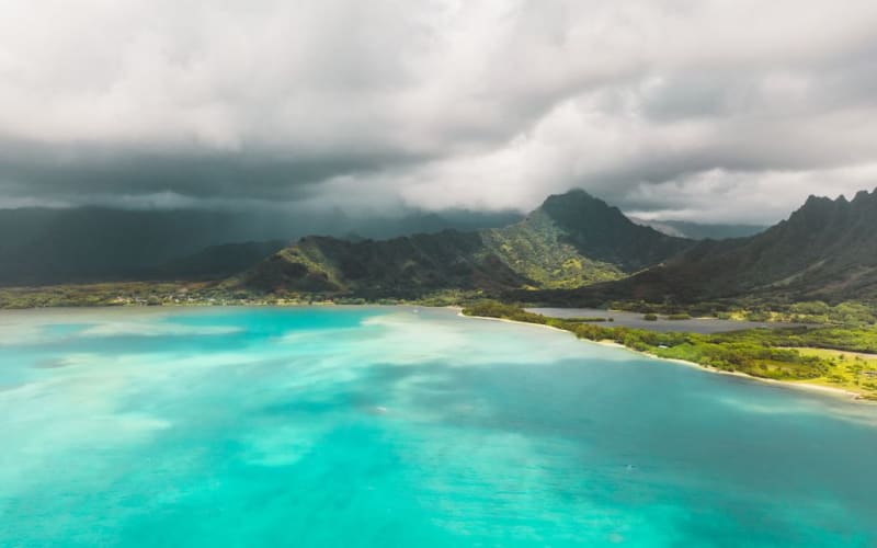 hawaii
 Kaneohe Bay
Oahu's largest sheltered bay, home to a sandbar that surfaces at low tide and turns into a floating party in the middle of the ocean.
Explore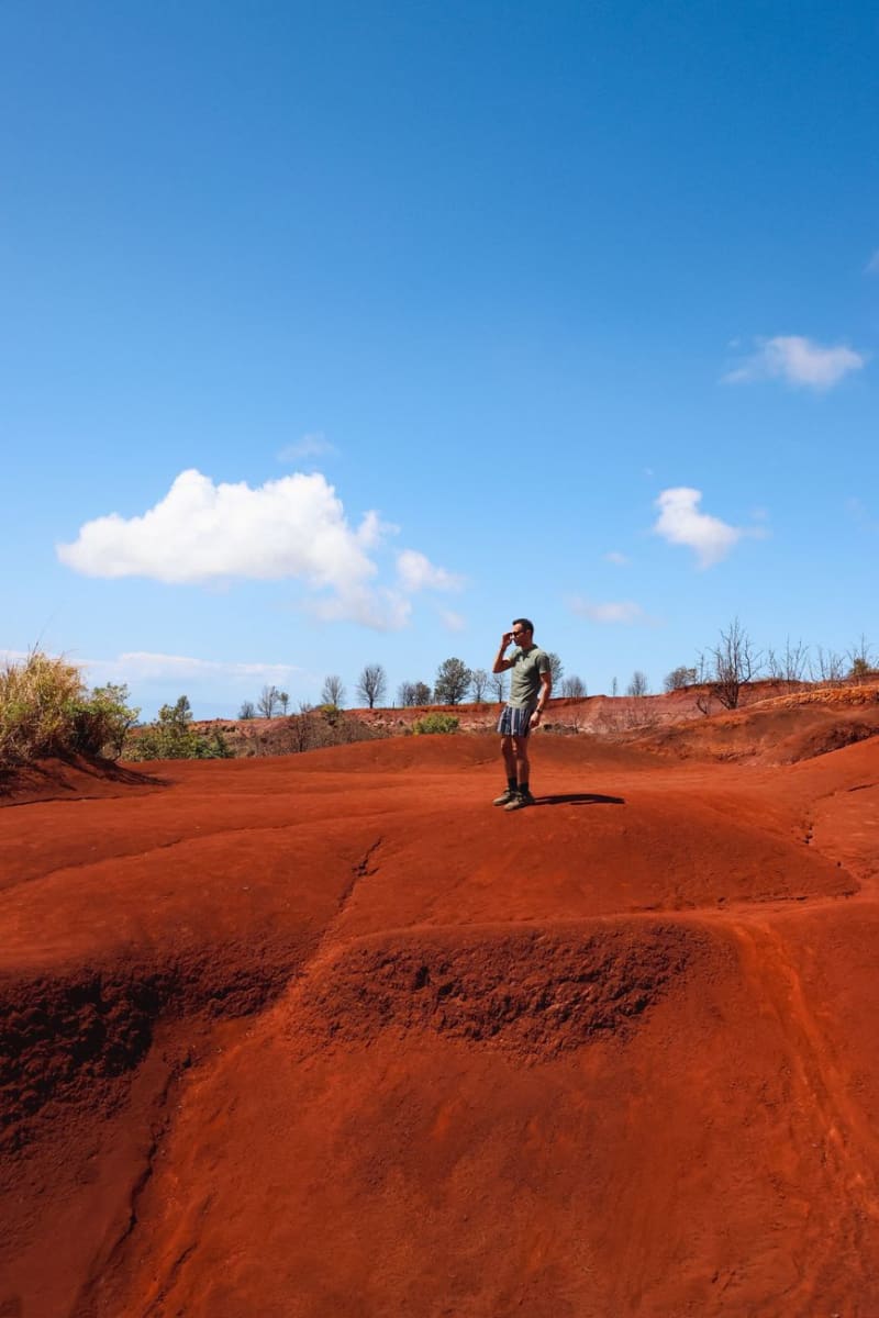 hawaii
 Kaua'i
The Garden Isle — Nā Pali cliffs, Waimea Canyon, and the oldest, greenest, most cinematic island in Hawai'i.
Explore