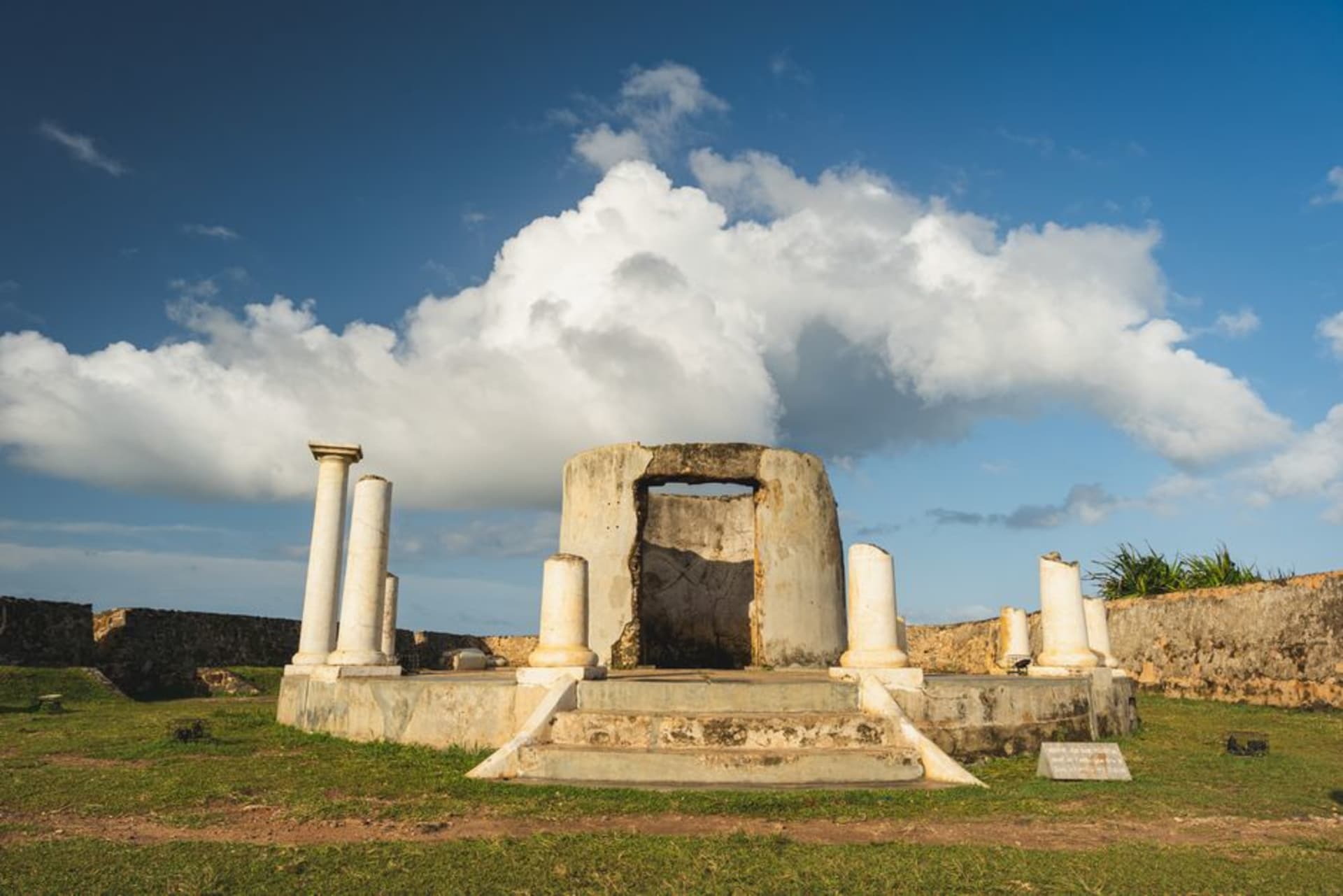
Fort Kyk-Over-Al
"One arch, three rivers, four centuries — and Lia and I had the whole island to ourselves."
A crumbling Dutch archway on a river island where three Guyanese rivers meet, and where empire once watched the water for enemies.
We got to Fort Kyk-Over-Al the way I think you’re supposed to: by boat, engine cut back to a crawl as our guide pointed out where the Essequibo, the Cuyuni, and the Mazaruni rivers all come together in a wide brown confluence. Lia had been repeating the name under her breath since Bartica — “kyk-over-al, kyk-over-al” — trying to get the Dutch right, and when our boatman finally said it should sound like “kike-over-all,” she laughed and gave up trying to be precise about it. The island itself is barely anything, a low hump of green you could walk around in ten minutes, but standing there in 1616 with a clear line of sight down three rivers, I understood immediately why the Dutch West India Company picked this exact spot. See over all. It’s not a subtle name and it doesn’t need to be.
What’s left is startlingly little and somehow still moving: one brick archway, a scatter of foundation walls half-swallowed by grass, and the kind of stillness that made both of us drop our voices without discussing it. I sat on a low wall for a while just doing the math — this was the seat of the entire Essequibo colony, the administrative heart of Dutch Guyana, for over a century, right up until 1739 when they finally moved operations downriver. French pirates seized it briefly in 1708, which is one of those historical footnotes that sounds like a throwaway line in a novel but was presumably terrifying if you were the garrison here at the time. By 1748 the Dutch had abandoned it for good, and the jungle did what jungle does.
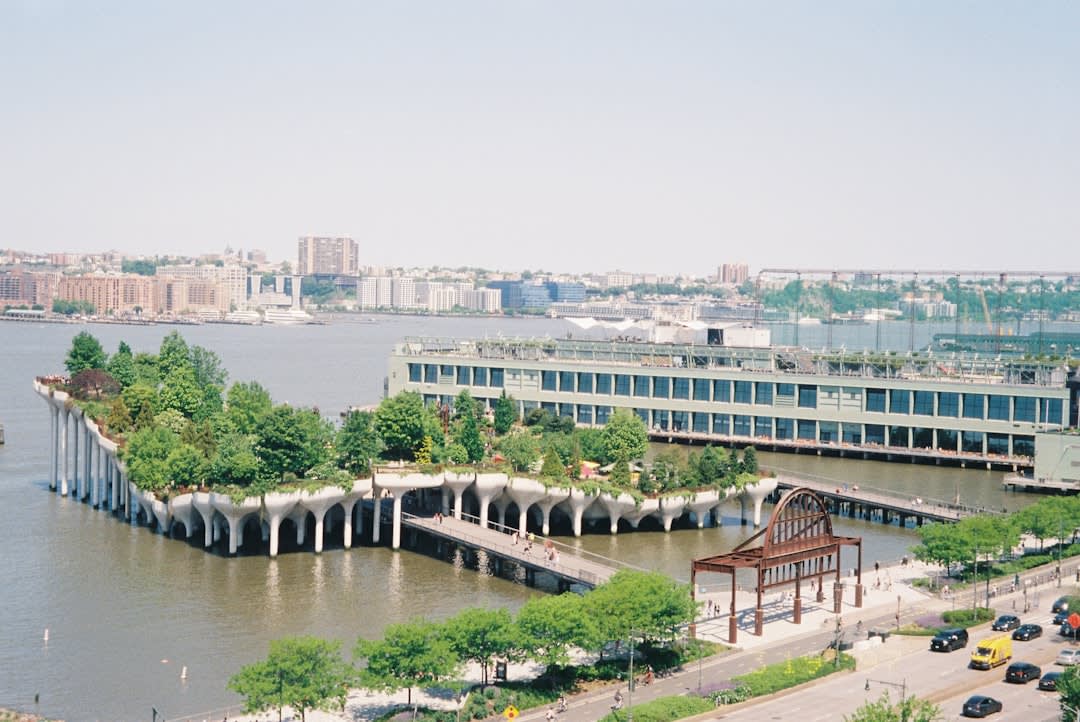
Lia found the best angle on the arch almost by accident, crouched low near the old foundation line so the brickwork framed a slice of river behind it, and I remember thinking that photo said more about the place than anything I could write down. There’s a small plaque now — the site became a National Monument of Guyana in 1999 — but otherwise it’s just you, the arch, and the water sliding by on three sides at once, which is a strange and quiet kind of grandeur for a ruin this small.
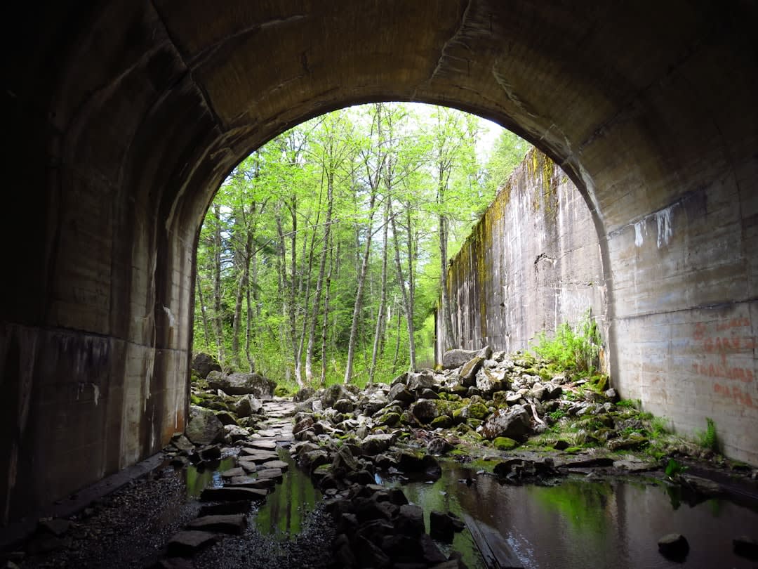
When to go: Aim for the dry season — February to April or the shorter window in September — when the rivers behave themselves and the boat ride out to the island is smooth rather than a small adventure of its own.
Keep exploring
More from Guyana
 guyana
 Georgetown
A city of painted wooden houses on stilts, where Caribbean heat and East Indian spice collide at the edge of the Demerara River.
Explore guyana
 Iwokrama Rainforest
One of the last pristine tropical rainforests on earth, where a canopy walkway puts you level with harpy eagles and silence costs nothing extra.
Explore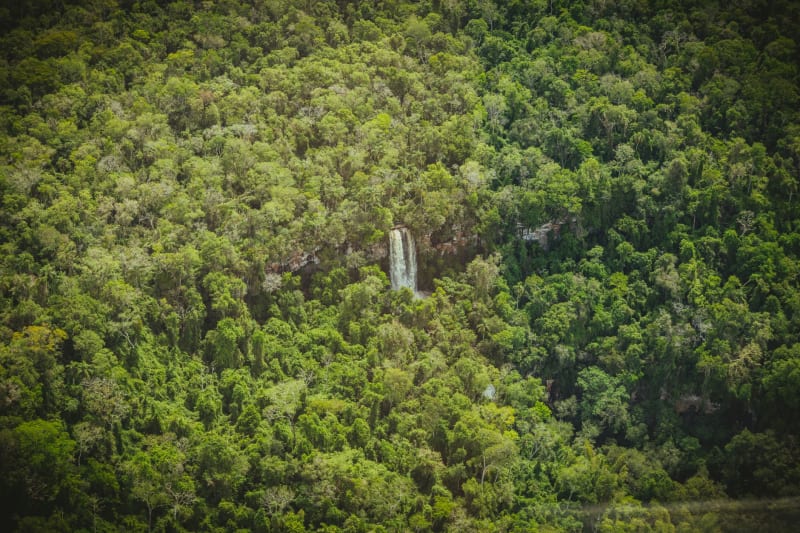 guyana
 Kaieteur Falls
Four times the height of Niagara, surrounded by nothing but tepui plateau and cloud forest — and not a single railing between you and the edge.
Explore guyana
 Karanambu
A former cattle ranch turned conservation lodge on the Rupununi River, world-famous for its giant river otters and the night-blooming Victoria amazonica lilies.
Explore guyana
 Lethem
A red-dust frontier town at the end of the coastal road, where Amerindian culture and cowboy rodeo share a border crossing with Brazil.
Explore guyana
 Mount Roraima
The tepui that inspired The Lost World rises at the tripoint of three countries, its sheer walls hiding a plateau of endemic life found nowhere else on earth.
Explore