Nujiang Valley
"Nujiang is what happens when geography decides the terms and humans negotiate around it. The river won. The valley is arranged accordingly."
The last great gorge
Nujiang — Nu River — runs parallel to the Mekong and the Yangtze through northwestern Yunnan in a geological arrangement that makes the region one of the most river-dense on earth. Three of Asia’s great rivers flow within 80 kilometers of each other here, separated by mountain ranges that push 5,000 meters, all running roughly north to south through what geologists call the Three Parallel Rivers zone — a UNESCO World Heritage designation that few travelers actually visit.
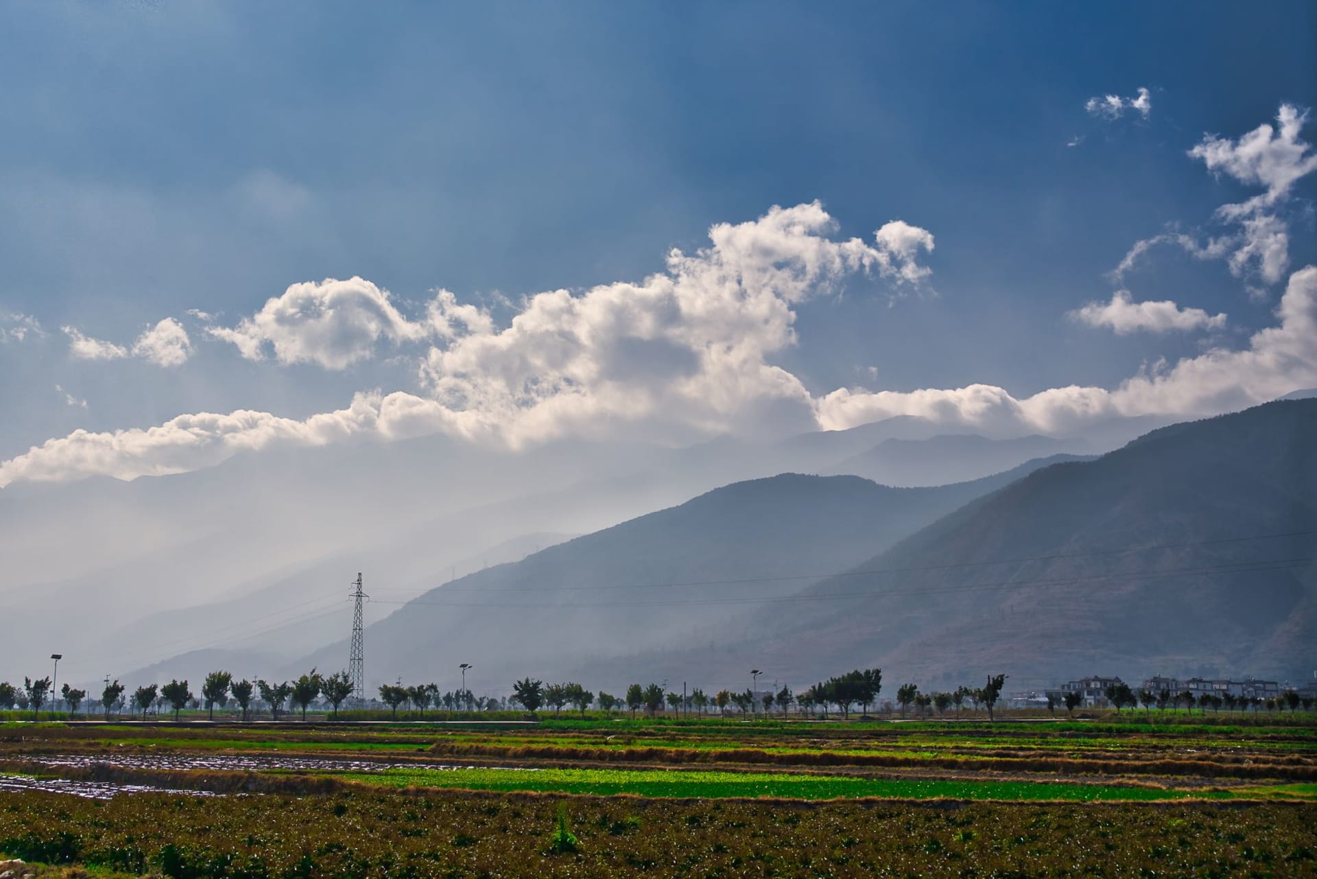
The Nujiang Valley (or Nujiang Grand Canyon, as the signage calls it with characteristic understatement) runs for about 300 kilometers between Liuku in the south and Bingzhongluo in the north. The road follows the western bank, and the eastern wall of the gorge rises directly from the river — 3,000 meters of sheer rock and forest. For most of its length the valley is too narrow for the sun to reach the river before late morning.
Getting there, and why most people don’t
Nujiang is not easy. Liuku, the regional capital, is eight hours by bus from Dali over a road that crosses three mountain passes. This is the main reason the valley remains under-visited relative to its scale. I found the bus comfortable enough and the passes spectacular enough that the time passed without much complaint.
The upper valley, above the town of Fugong, is where the landscape becomes most dramatic and the settlements most traditional. The Lisu and Nu ethnic groups live in these villages, along with smaller communities of Dulong and Tibetan families. The presence of multiple Christian communities — the legacy of nineteenth-century British and French missionaries who found access to these isolated valleys easier than access to the Han Chinese interior — produces an unusual syncretic atmosphere: churches alongside animist shrines, hymns in the Lisu language.
Bingzhongluo at the end of the road
The road ends at Bingzhongluo, a small village where the valley narrows and the mountains close in on three sides. This is effectively the northern terminus of accessible Nujiang. Beyond it, the road becomes a trail and the valley becomes the Drung River gorge, accessible only on foot or to the Drung (Dulong) people who live there.
From Bingzhongluo I hired a local guide to walk to the “First Bend” of the Nu River — a horseshoe curve where the river turns nearly back on itself, visible from a viewpoint on a ridge above the village. The walk took two hours each way, through forest that smelled of pine resin and wet earth, and the view from the ridge was the kind that makes you understand why someone would choose to build a village at the end of a road.
The rope crossings
Before the current road was improved, the main way to cross the Nu River was via the nujiang soluo — a sliding cable system where passengers clipped themselves to a bamboo or iron cable stretched across the river and slid across above the rapids. Many still exist in the upper valley, and some locals still use them. I crossed one near Pishi. The cable was iron, the grip was wooden, and the river was very far below. The slide took about eight seconds. I would not describe the experience as serene, but it was memorable.
The suspension bridges that have replaced most of the cable crossings are hardly less impressive — long, swaying spans of wood and wire over a river whose sound is constant and large.
When to go: October through April is the dry season and the most comfortable time to travel the road. May through September brings heavy rain, landslides, and road closures in the upper valley. Spring (March-April) is the nicest window: clear and mild, with wildflowers on the slopes above the gorge.