
Gering
"Wagon trains once called this bluff their landmark for a hundred miles in every direction — you can still see why."
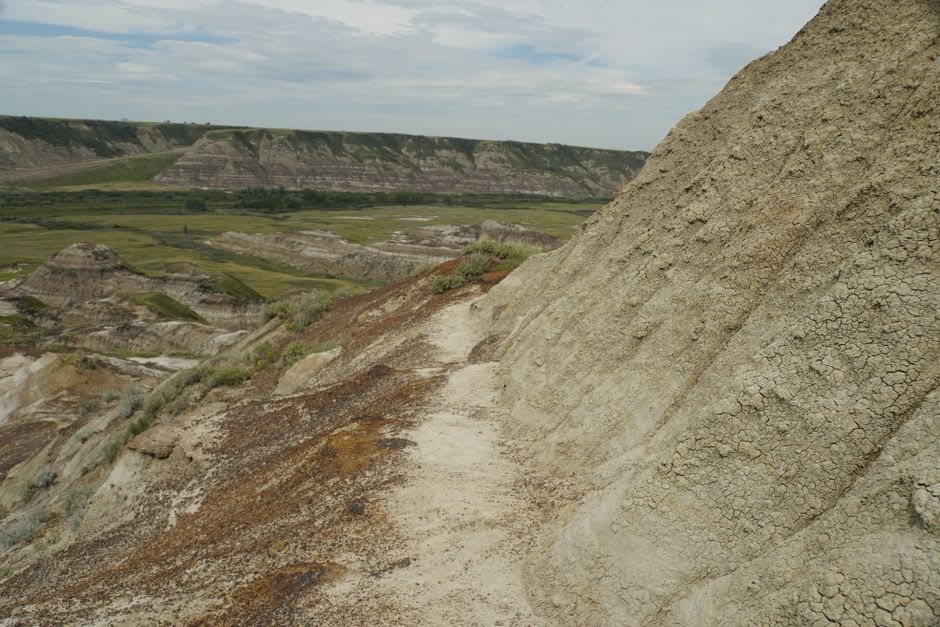
The town tucked right against Scotts Bluff National Monument, where 800-foot bluffs rise straight out of the North Platte valley and Oregon Trail wagon ruts are still visible in the stone. Lia and I hiked to the summit and could see three states.
Gering sits directly beneath Scotts Bluff, an eight-hundred-foot rock formation that pioneers on the Oregon, California, and Mormon trails used as a navigation point visible for days before they reached it. The town itself is small and workmanlike, home to about eight thousand people and a lot of sugar beet farms, but the monument at its edge is one of the most striking landscapes in the whole state, and Lia and I spent a full day there without getting bored once.
Climbing Scotts Bluff
We hiked the Saddle Rock Trail, a steady 1.6-mile climb through a tunnel blasted into the bluff itself and up onto a summit ringed with badlands-style formations, and from the top on a clear day you can see Wyoming, Colorado, and Nebraska all at once, along with the North Platte River threading through green farmland far below. Along the lower trail, actual wagon ruts are still carved into the soft Brule clay near Mitchell Pass, worn down by an estimated quarter-million people who passed this exact spot between the 1840s and 1860s. Standing in a groove worn by wagon wheels a century and a half old is a strange kind of time travel.
Downtown Gering and Oregon Trail Days
Back in town, Gering’s Main Street still hosts Oregon Trail Days every July, complete with a rodeo and a mock wagon train, but even outside festival season the historical marker density downtown is remarkable — nearly every block has a plaque about a trail landmark or homestead. We ate dinner at a Mexican restaurant run by a family who’d been in the valley for three generations, farming sugar beets before opening the restaurant, and the owner walked us through a hand-drawn map of the old trail route on the wall like he was still proud of it.
Getting There
The nearest airport is Western Nebraska Regional in neighboring Scottsbluff (BFF), with limited connections through Denver. By car, Gering is about three and a half hours northeast of Denver International Airport (DEN) via US-25 and US-26, or five hours west of Lincoln. A car is essential for reaching the monument and trailheads.
Keep exploring
More of Nebraska