Freycinet Peninsula
"The color of that water made me distrust every other ocean I'd ever seen."
There’s a photograph you’ll recognize before you arrive: a perfect crescent bay, white sand, improbably turquoise water, framed by pink granite peaks. Every shot of Wineglass Bay looks like a composite. You assume the color has been pushed in post. Then you hike up to the lookout and realize the photograph was actually conservative.
I’ve stood at a lot of scenic overlooks. Some disappoint. This one did the opposite.
The Climb to the Lookout
The walk from the car park to the Wineglass Bay lookout is forty-five minutes of moderate uphill through spotted gum and casuarina, the path picking its way between granite boulders that glow pink in the morning light. You climb in stages, and the vegetation thins as you rise, until suddenly you’re at the saddle between the peaks and the bay unfolds below you.
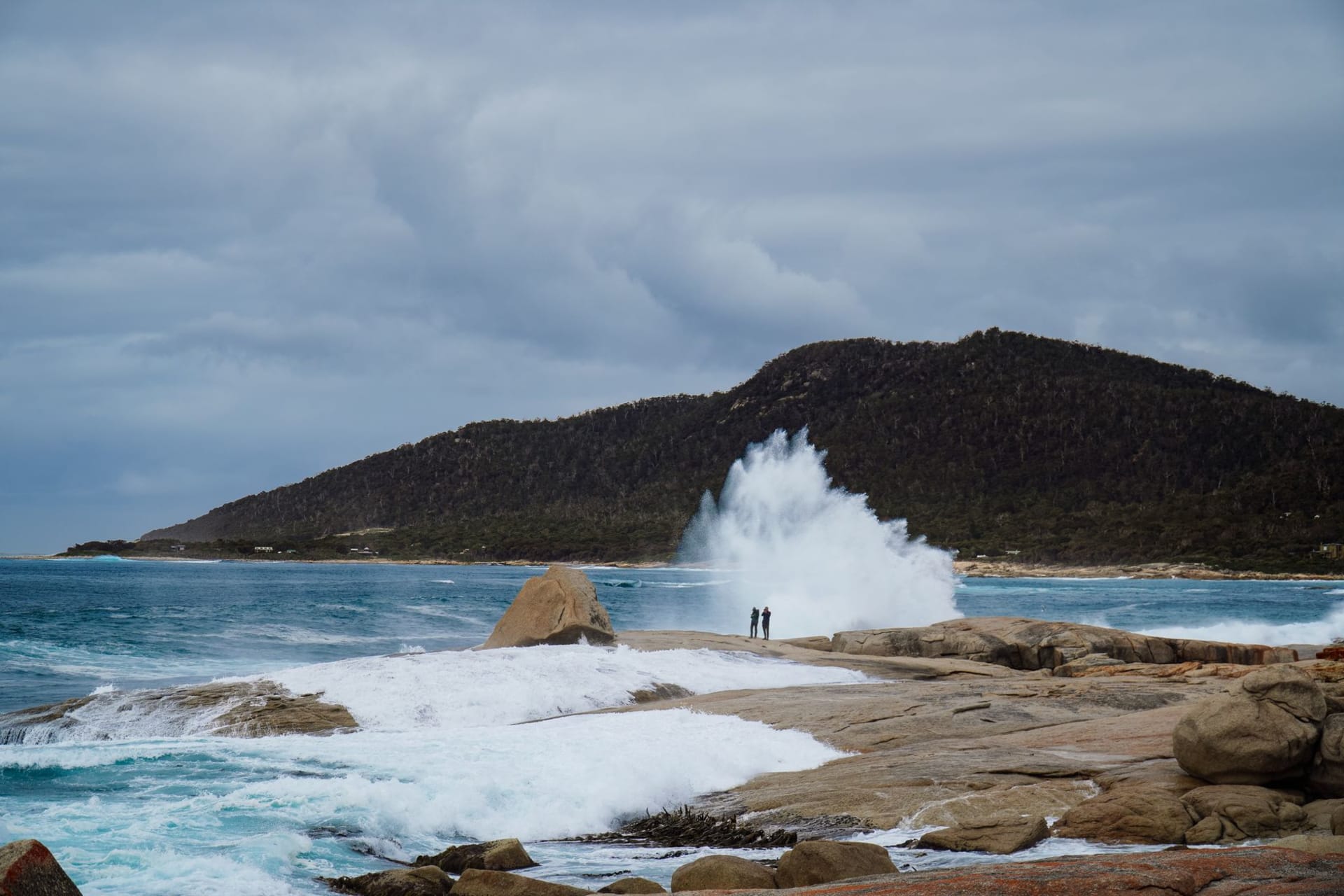
The Hazards — the mountain range that forms the backbone of the peninsula — are named without irony. They’re not dangerous in the way that word usually implies, but they’re serious granite masses, 300 meters of solid pink stone, and standing at their base you understand why Tasmanians are matter-of-fact about wilderness. This is just the landscape here. It’s always been like this.
Inside the Bay
Most visitors see Wineglass Bay from above. The better move is to continue down into it. The descent takes another thirty minutes and deposits you on the sand itself. The water is cold — genuinely cold, the kind that makes you gasp and then go numb in a particular sequence — and so clear that you can see the sand ripples four meters down. The bay is almost perfectly enclosed, which kills the swell. On a calm morning, the surface is barely moving.
I swam for twenty minutes and then sat on the sand eating a sandwich and feeling thoroughly, completely remote, which I was not — there were a dozen other people on that beach — but the space and the quiet and the scale of the granite around me created a sense of solitude regardless. Lia found a piece of driftwood the shape of a small boat and carried it back to the car, which I thought was optimistic given the flight home.
Coles Bay and the Oyster Beds
The village of Coles Bay at the peninsula’s base is small enough that you know which car parks are for locals by their cars. There’s a general store, a few lodges, a bakery that opens when it opens. The oysters farmed in the estuary north of town are harvested and sold with the kind of casual directness that makes you realize how much middle distance normally sits between ocean and plate. I ate a dozen at a picnic table in a parking lot and thought seriously about whether I could live somewhere this quiet.
The short answer is probably no. But the long answer is more complicated.
Driving the East Coast
Freycinet sits on Tasmania’s east coast, which is the sheltered, sunnier side of the island. The drive down from Bicheno on the Tasman Highway passes through low coastal scrub and farmland and suddenly opens onto glimpses of blue water and offshore islands. The light on the east coast has a clarity I associate with maritime climates — no haze, everything sharply defined. Colors register slightly differently than they do inland: more saturated, less filtered.
When to go: October through April, with December through February for swimming. The east coast gets roughly 300 days of sun annually by Tasmanian standards, making it the most reliably pleasant part of the island. Book accommodation months ahead for January — it books solid.