Kapoeta
"Kapoeta is where you understand that South Sudan's diversity is not metaphorical."
Getting to Kapoeta requires genuine commitment. The town sits in Eastern Equatoria State near the point where South Sudan, Kenya, and Uganda approach each other, about 180 kilometers east of Torit on a road that varies in quality from difficult to philosophically challenging. I made it in a land cruiser with three other people, a driver who had done the route many times, and enough water for two days in case we didn’t. The landscape became increasingly arid as we went east — the green hills around Torit giving way to acacia scrub, dry riverbeds, and a bleached sky that pressed down on everything.
The Toposa
The Toposa are one of the most culturally distinct peoples in South Sudan, part of the Ateker cluster of pastoralist societies that spans the tri-border area of South Sudan, Kenya, Uganda, and Ethiopia. They are not much discussed in the international press, which focuses on the Dinka and Nuer of the Nile corridor, but their presence in the southeastern corner is ancient, strong, and visually striking in ways I was unprepared for.
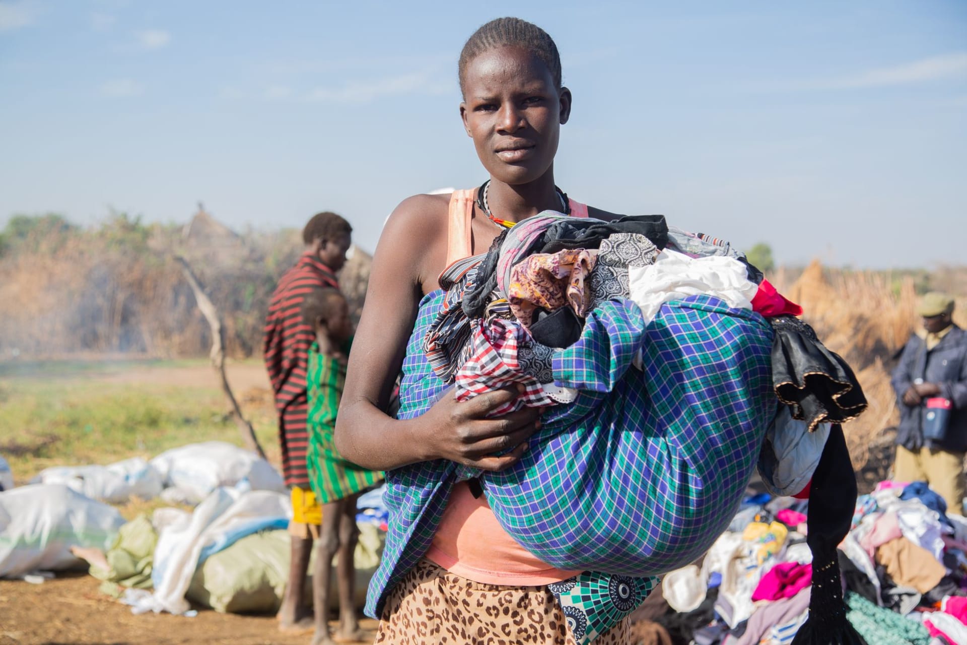
Men at the cattle market in Kapoeta wore ochre and ash on their bodies, carried spears and Kalashnikovs with equal nonchalance, and had the particular upright bearing of people who walk enormous distances as a matter of routine. The scarification patterns on older men’s bodies were elaborate. The hairstyles on younger men were architectural. I stood at the edge of the market trying to look like I knew what I was doing and mostly failing.
The Cattle Market
The weekly cattle market is the reason most visitors who make the effort to reach Kapoeta make the effort. It’s one of the largest in the region — hundreds of animals moving through, the transaction conducted in a mixture of Toposa, Swahili, and gesture. The prices are negotiated with a formality that makes European antique auctions look casual. A deal is sealed by the seller spitting on his hand and slapping the buyer’s palm, a gesture that seems to bind more effectively than any paperwork.
The noise, the dust, the smell of cattle and woodsmoke and the specific sharp smell of hot metal from a makeshift forge nearby — it’s overwhelming in the way that genuine concentration of human and animal activity always is. I walked through it slowly, photographing badly because the light was wrong and I was too distracted to frame anything properly.
The Border Ecology
The dry country around Kapoeta holds a specific arid-land ecology that contrasts sharply with the wetland and forest environments elsewhere in South Sudan. Lesser kudu in the thornbush, dik-dik at the roadside, desiccated riverbeds where leopard tracks are visible in the sand by the dwindling waterholes. It’s harsh country. The Toposa have developed a relationship with it over generations that involves knowing exactly where water and pasture are in each season — knowledge that looks like magic until you understand it’s cartography.
Lia, who has more patience for remote travel than I do, said that Kapoeta felt like the edge of everything. She didn’t mean it as a complaint.
When to go: December through February is the most comfortable window — dry, not yet at peak heat, and the roads from Torit are in the best condition. March to May sees increasing heat (temperatures above 40°C are possible) and dust. Rainy season from June to October brings some relief from heat but significantly worsens road conditions. Security in Eastern Equatoria requires careful advance research — the Kapoeta area has experienced intercommunal conflict over cattle and resources.