Tulagi
"The entire British Solomon Islands Protectorate was administered from a place smaller than a city park."
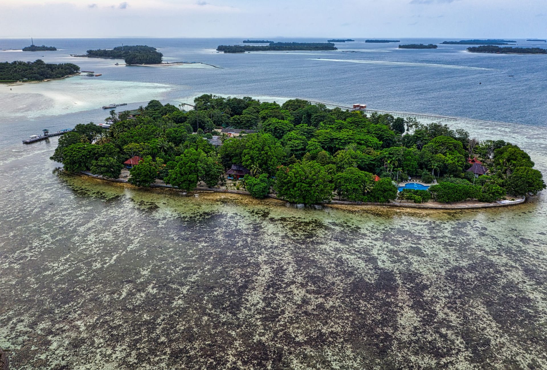
Tulagi sits in the Florida Islands group, a short boat ride north of Guadalcanal across Iron Bottom Sound. It’s a small island — maybe a kilometre long — but it was once the capital of the British Solomon Islands Protectorate and the most significant harbour in the Western Pacific between Rabaul and Suva. Then Japan took it in 1942 and the Americans took it back, and the British moved the capital to Honiara afterward because Tulagi’s harbour was full of wrecked ships.
The harbour is still full of wrecked ships. That’s largely why I went.
The Wrecks at Snorkelling Depth
Tulagi’s harbour contains an unusually dense concentration of WWII wrecks at depths accessible without scuba gear, which is either a miracle of underwater heritage or a testament to how much material was lost here, depending on how you think about it. The most famous is the YP-284, an American patrol yacht sunk in the 1942 Japanese raid, whose hull sits in eight to fifteen metres of water with remarkable coral growth and resident populations of fish dense enough to make snorkelling feel almost excessive — they come to investigate rather than flee.
I spent three hours in the water over two sessions, and at one point found myself surrounded by a school of batfish so large I lost track of the yacht’s hull entirely. The batfish — large, disk-shaped, impossibly silver — moved around me with a confidence I found admirable.
Several Japanese ships also lie in and around the harbour, some at slightly greater depth but still diveable with basic equipment. A guide from Tulagi’s small dive operation is worth the cost for orientation — the visibility is excellent but the geography of the wrecks is confusing without someone who knows where they are.
The Colonial Remnants
The British presence on Tulagi left traces that history has been quietly absorbing: an old government building now used as a community hall, a tennis court that might date from the 1930s and now does service as a playing field for something else entirely, and a small cemetery on a hill above the town where colonial administrators and missionaries share space with a view over the harbour that was probably the main compensation for being posted here.
Walking the island from end to end takes perhaps twenty minutes at a relaxed pace. The current population is small, the economy based largely on fishing, and the energy is that of a place that once mattered enormously and has since found a more sustainable scale. The old Residency hill, where the British Commissioner once lived, offers a view of the whole harbour and a clear sense of why this location was chosen.
Crossing to the Florida Islands
Tulagi makes a natural base for exploring the broader Florida Islands group. Gavutu and Tanambogo, two tiny adjacent islands connected by a causeway and linked to Tulagi by a short boat ride, were sites of fierce 1942 fighting and also have good snorkelling. Ngela Sule — the main Florida Island — has inland walking tracks and villages where you can stay in homestays if you arrange it through contacts in Tulagi.
Lia swam the channel between Gavutu and Tanambogo one morning while I sat on a rusted bollard on the causeway writing notes, and said the water was so clear she could see the sand bottom the whole time.
When to go: Tulagi is accessible year-round from Honiara by speedboat (roughly 90 minutes) or the slower inter-island ferry. May through October gives calmer sea crossings and better snorkelling visibility. The wrecks are diveable in any season, but the wet season crossing from Honiara can be uncomfortable in rough swells. Day trips from Honiara are feasible; an overnight stay lets you have the harbour largely to yourself in the early morning.