Taba
"From one beach you can see four countries. I counted twice to make sure I wasn't wrong."
The Four-Country Promontory
Taba is where the Sinai ends. Literally: the Israeli border is a fence line you can walk alongside, and beyond it the glittering sprawl of Eilat begins without pause. From the right angle on the beach — and there is a specific angle — you can see Israeli high-rises to the north, Jordanian mountains across the water to the east, Saudi Arabia’s coast further south, and Egyptian desert in every other direction. This compresses a lot of geopolitical history into a single afternoon’s view.
The town itself is small and service-oriented: a border crossing, some resort hotels arranged along a beach, and a cluster of dive and snorkeling operators who benefit from the Gulf’s excellent visibility and the relative absence of crowds compared to Sharm. I came here without high expectations and left with notes about wanting to return.
Pharaoh’s Island
The island — Geziret Fara’un in Arabic, Île de Graye in the old Crusader maps — sits 250 meters off the coast and can only be reached by a short ferry crossing. It’s a volcanic plug of red granite with a Crusader and later Saladin-era fortress sprawling across its entire surface, and from the water it looks exactly like something from a story someone invented. It is not invented.
Saladin captured it from the Crusaders in 1170 and expanded the fortifications, using it as a control point for the Red Sea trade routes and the pilgrimage roads to Mecca. The fortress is well-preserved and partly restored, with towers, cisterns, a Crusader chapel, and views from the ramparts that explain immediately why this location was fought over. Four countries visible from the battlements. The Gulf stretching south toward the Red Sea. A wind that comes off the water with no obstruction.
I spent three hours there and could have stayed longer. The ferry crossing takes five minutes. Bring water.
The Wadi Trails
The hinterland behind Taba has some of the most dramatic canyon country in the Sinai, accessible from the coastal road by jeep and on foot. Wadi Watir is the largest of these — a broad desert valley that cuts east through the Sinai mountains and leads, eventually, to Nuweiba on the Gulf. The canyon walls are sandstone and limestone layered in colors that shift with the light: ochre, rust, cream, pale lavender.
I did a half-day trip with a Bedouin driver who knew the terrain well enough to find shade at exactly the times I needed it. We stopped at a spring in the canyon bottom — a seep of fresh water stained with algae green, completely incongruous in the surrounding dryness — where a family of ibex had left prints in the wet sand. The driver made tea on a small gas stove and told me which rock formations had which local names, none of which appear on any tourist map.
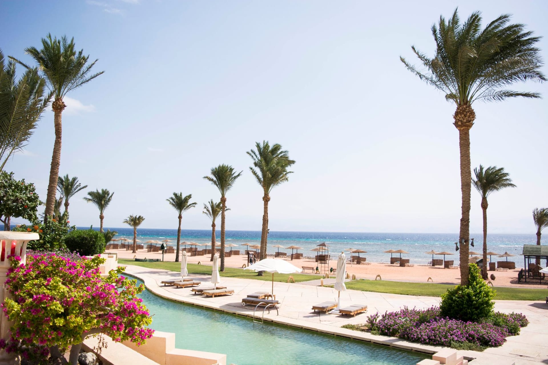
Beach and Water
The beach at Taba is clean, quiet on weekdays, and uncrowded by Sinai standards. The snorkeling directly offshore is good — healthy coral, abundant reef fish — and the dive sites north of Taba along the shore toward Eilat include some genuinely excellent walls. The Israeli dive industry in Eilat is visible from here with binoculars, which creates the slightly surreal situation of watching one country’s tourism infrastructure from a beach chair in another.
When to go: October through April for diving and beach time. March and April bring occasional wind from the north that can make the sea choppy. Winter (December–February) is quiet and cool — ideal for the canyon hiking around Wadi Watir. The border crossing to Israel operates year-round but can be slow during Israeli and Egyptian public holidays.