The Second Summit
Most Simien trekkers talk about Ras Dashen. Bwahit, at 4,430 meters, is the one they pass on the way there — the second highest mountain in Ethiopia, traversed on the route east from Chenek, not often the primary goal but always a presence. I decided to approach it as a destination in itself, spending time on the ridge and the summit plateau before continuing to Ras Dashen the following day.
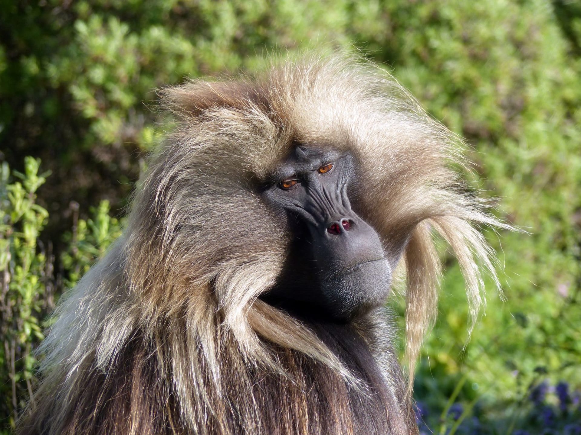
The path from Chenek climbs steadily through the high moorland, past the Afroalpine zone where the giant lobelias become sparse and then stop, replaced by rocky ground with low-growing sedge and the occasional tuft of everlasting flower. Above 4,000 meters the vegetation becomes minimal — patches of lichen on rock, a few prostrate shrubs, and then mostly stone. The light changes too: sharper, harder, with a quality that makes distances difficult to judge.
The Traverse
The approach to Bwahit’s ridge involves a sustained climb that I found harder than any day lower on the trek. Not because of the technical difficulty — the path is clear and not particularly steep — but because the altitude was making itself known in the way altitude does above four thousand: a subtle heaviness in the chest, a slight lag between intention and movement, the need to stop more often than you expect. I had acclimatized well over six days, but the body at this elevation is still working with less than it wants.
The ridge itself, when you reach it, is extraordinary. The drop on the eastern side is into the high valley that separates Bwahit from Ras Dashen, and the view west back over the plateau is the broadest I had anywhere in the Simiens — you can see the escarpment all the way to Geech on a clear day, and beyond it, the haze of the lowlands that eventually become the Sudan and the Nile.
What the Summit Offers
Bwahit’s summit is a broad, rock-strewn plateau rather than a point. I sat here for an hour, eating slowly (altitude does strange things to appetite — you’re hungry but the actual act of eating requires effort), and watched the light shift across the Ras Dashen massif to the east. The contrast between Bwahit’s rounded, rocky plateau and Ras Dashen’s more dramatic massif ahead explains why most people want both.
The cold on the ridge is significant even on a clear day. The wind at this altitude is constant, and in December or January it can drop the effective temperature well below what the thermometer reads. I had a down jacket, wind layer, gloves, and a hat, and I was still aware of the cold in my core after an hour of sitting.
Between Two Summits
There’s a pleasure in taking the second-highest peak seriously, in not treating it merely as the road to Ras Dashen. Bwahit has its own logic — a long ridgeline with changing views, an altitude that filters out most casual visitors, a silence above the clouds that is different from the silence in the valley camps. You are, at this point, genuinely high — higher than anywhere in Europe, higher than most places people go without specific technical training.
The path from Bwahit to the Ras Dashen base is another two hours of descent and then re-ascent. Most groups do this in a single long day from Chenek, topping out on Ras Dashen and returning. I stayed on the ridge until the light turned and then made camp below. I recommend this extravagance to anyone who can manage it.
When to go: October through March only — this altitude in the wet season is dangerously exposed to lightning and hypothermia. Ideal months are November through February when the skies are clear and stable. Start from Chenek no later than 5:30 a.m. to reach the ridge before cloud builds. A certified guide is required by the park.