Pigeon Island National Park
"From Fort Rodney you can see the sea lanes the British built it to control. Some views explain themselves."
A causeway-connected headland where British fort ruins and Caribbean history sit above two beaches and a view that once watched for French warships.

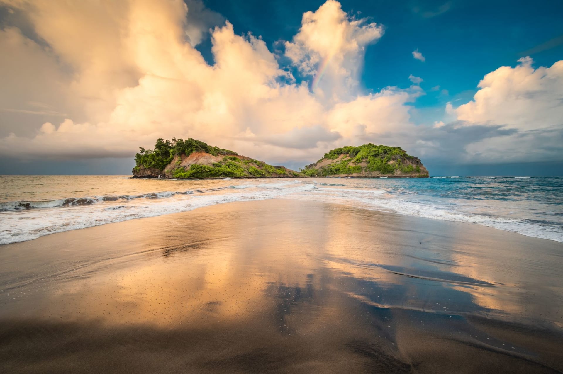
The causeway to Pigeon Island is a kilometer of raised road across shallow water, connecting what was once a true island to the Saint Lucian mainland. Pelicans sit on the bollards at its edge, waiting out whatever the tide is doing. I walked it in the early morning when the light was still low and the water on both sides — Rodney Bay on the left, the open Caribbean on the right — was calm enough to reflect the sky in convincing halves. The island rises ahead as you walk, the ruins of Fort Rodney just visible through the trees on the summit, and the whole thing feels slightly unlikely in the way that history preserved in a Caribbean landscape often does.
Pigeon Island was a British naval stronghold from 1778, the base from which Admiral George Rodney set out in 1782 to defeat the French fleet at the Battle of the Saintes — a naval engagement that shifted the Caribbean balance of power and secured British dominance in the region for a generation. The fort’s remains on Signal Hill are substantial: cannon still on their mounts, stone walls intact, powder magazines open to the sky. I climbed to the upper battery in the early heat and stood next to a cannon pointing out over the sea lane between Saint Lucia and Martinique, and understood immediately why this site mattered. You can see everything from up here. Every ship, on any heading. The British chose well.

Below the fort, the island has two beaches. The first, on the south-facing side, is calm and sheltered, the water pale jade over white sand — it gets busy by midday with families from Rodney Bay. The second, on the Atlantic-facing north side, is wilder, the surf coming in with more force, the sand coarser. I preferred the north beach at low tide, when the rock pools at its edges held small fish and sea urchins and the larger waves came in at intervals while I sat on the rocks with a rented snorkel around my neck.
The island also has the ruins of a nineteenth-century beach house, a small interpretive center that covers the fort’s history adequately, and a restaurant near the entrance that serves better food than a park restaurant has any obligation to provide. The coconut bake I had there — dense, slightly sweet, eaten with saltfish — was made by someone who had been making it for years and saw no reason to deviate from whatever recipe had worked.

The park hosts the Saint Lucia Jazz and Arts Festival each May, when the grounds fill with stages and the fort becomes a dramatic backdrop for outdoor concerts. Outside festival season it is quiet on weekdays, occasionally busy on weekends with Saint Lucian families who know it as the best beach park in the north. Both versions of it are worth experiencing if you have time.
When to go: January through April for the clearest skies and calmest beaches. May for the Jazz Festival, if outdoor concerts in a historic fort appeal. Go early — the park opens at nine and the causeway walk before the heat sets in is the best version of the approach. Weekday mornings are nearly empty.
Keep exploring
More from Saint Lucia
 saint-lucia
 Rodney Bay
Saint Lucia's liveliest northern hub where a blue-water marina, serious sailing culture, and the island's best nightlife converge unapologetically.
Explore saint-lucia
 Soufrière
Saint Lucia's soul in a sulphur-scented colonial town where the Pitons stand guard over every meal and conversation.
Explore saint-lucia
 Sulphur Springs
The world's only drive-in volcano sits above Soufrière breathing sulphur into the air and making everything in the valley smell like the beginning of the earth.
Explore saint-lucia
 Tet Paul Nature Trail
A short, community-run ridge trail above Soufrière with a viewpoint locals call the Stairway to Heaven, and a Pitons view that made me stop talking mid-sentence.
Explore saint-lucia
 Toraille Waterfall
A modest, garden-wrapped waterfall outside Soufrière where you can be standing under cold jungle spray fifteen minutes after leaving the car.
Explore saint-lucia
 Vieux Fort
The unglamorous, unapologetically real southern town where the Atlantic and the Caribbean physically collide at a lighthouse point most tourists never see.
Explore