Gros Piton
"I've stood on harder summits and felt less rewarded. The Piton earns it every time."
My guide, a soft-spoken man named Marcus who had made this ascent hundreds of times, met me at the trailhead in Fond Gens Libre village before six in the morning. It was still dark enough that his headlamp threw long shadows over the root-tangled path. He carried nothing but a water bottle and a machete, moved with the unhurried confidence of someone who could hike this mountain blindfolded, and within fifteen minutes I understood why guides are mandatory here — not for safety alone, though the path is steep enough in places to make that argument, but because Marcus turned the climb into an education I hadn’t known I needed.
He stopped to identify trees by the texture of their bark, bruising a leaf between his fingers so I could smell the medicinal sharpness of bwa dòt, pointing out the exact height at which the vegetation shifted from dry scrub to wet montane forest. The cloud forest near the top smells entirely different from the lower slopes — damper, more fungal, with something sweet underneath that I couldn’t name. The trail is almost entirely in shade, which is a mercy, because even at eight in the morning the heat building below the canopy is real. The volcanic rock underfoot is the color of old iron and slick where the moisture has gotten to it, and there are sections where you are using your hands as much as your feet.

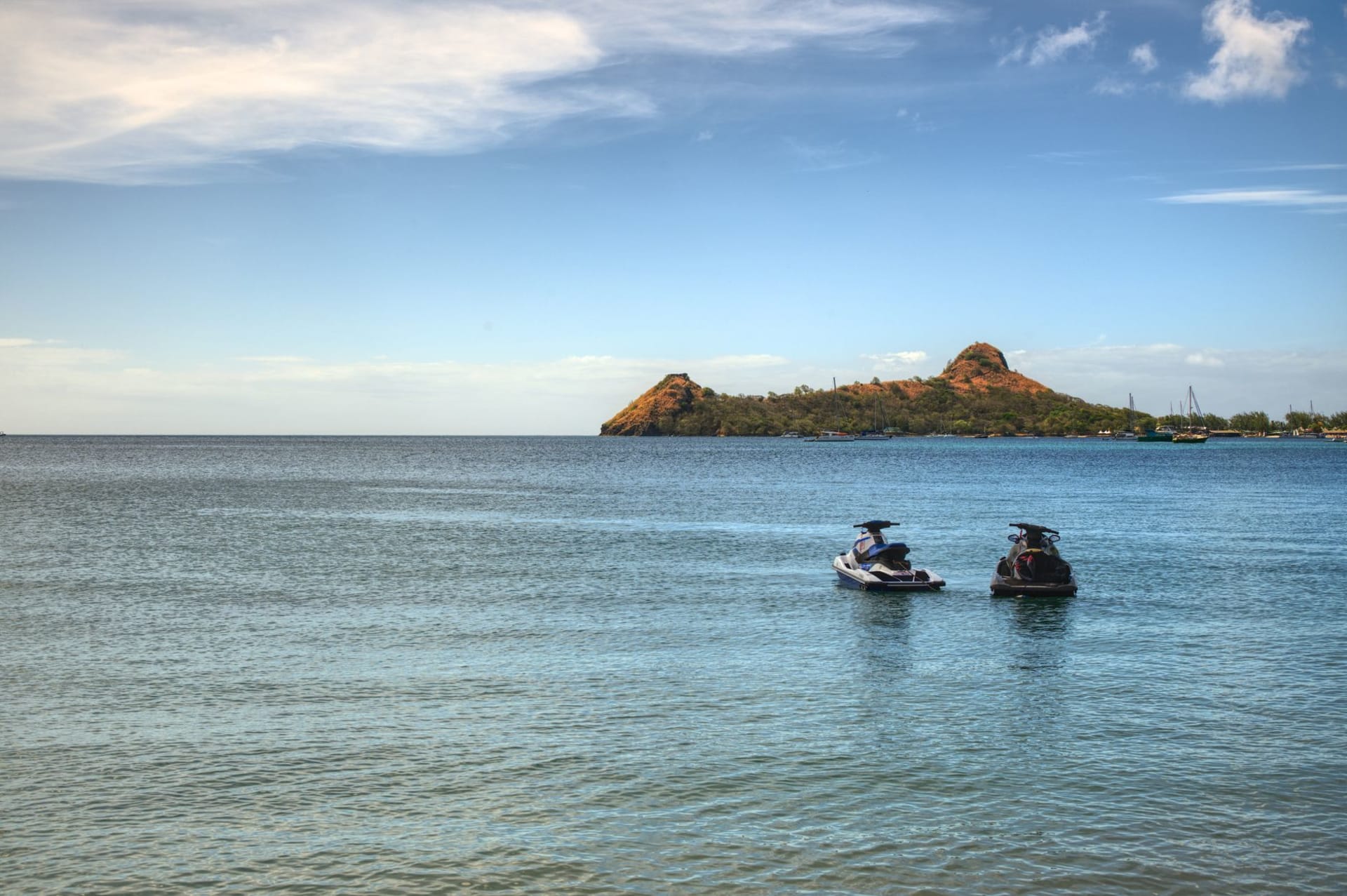
At the summit — 2,619 feet above the Caribbean — the island opens beneath you in every direction. I could see Petit Piton directly across the saddle, its flanks close enough that the individual trees were visible. Soufrière lay below to the north, the bay a smudge of turquoise, the toy-sized boats on it catching the light. Beyond, the whole spine of Saint Lucia stretched north toward Castries, green and crumpled. On a clear day, you can see Martinique to the north and Saint Vincent to the south, and that morning I could see both, faint blue shapes on water that was the exact color of a gas flame at its base.
Marcus pointed out the remains of eighteenth-century fortifications near the summit — stones barely distinguishable from the rock now, covered in moss. The French and British fought over this island fourteen times, he told me, more than any other Caribbean territory. Looking down at the island from up there, at the harbor, at the fertile valleys, at the position on the trade routes, it made sense that everyone wanted it. The Pitons were part of the strategic value — you could see every approaching ship from up here.

The descent takes roughly the same time as the ascent — perhaps slightly faster, which sounds reassuring but is harder on the knees. I was back at the trailhead by midmorning, legs shaking, drenched in a way that felt earned. Marcus accepted his fee with genuine grace, recommended a rum shop in the village where the proprietor makes her own sea moss drink, and disappeared back up the path toward whatever group he was guiding that afternoon.
When to go: The dry season, January through April, offers the best visibility from the summit and the driest trail conditions. May and June are workable with an early start before afternoon clouds build. Avoid hiking during or immediately after heavy rain — the volcanic rock becomes dangerous. Book your guide through the Saint Lucia Forestry Department or your accommodation in Soufrière; expect to pay around forty to fifty US dollars.