Parc National de la Mauricie
"In the Mauricie, the road stops and the water takes over — this is a park built for paddles, not tires."
A wilderness of lakes and rounded Laurentian hills two hours from Montréal, where canoe routes replace roads and the loons do most of the talking.
Lia found the map for this one, which is generally how our better trips start. She’d been reading about a network of lakes in the Laurentian foothills where you could rent a canoe, paddle to a backcountry campsite, and hear absolutely nothing but water against the hull for three days. We drove up from Trois-Rivières on a July morning, the highway narrowing into a park road that curled between granite outcrops worn smooth by two billion years of erosion — some of the oldest rock in North America, older than complex life itself, sitting there covered in blueberry bushes like it was nothing special.
Parc National de la Mauricie protects a chunk of the Laurentian plateau that never got flattened by glaciers the way the plains to the south did, so it rolls: hill after forested hill, lake after lake, connected by portage trails that voyageurs and Atikamekw canoeists used centuries before it was a park. We rented a canoe at the Wapizagonke sector and paddled the length of the lake, stopping at a rock face where pictographs — faded red ochre figures, some possibly Atikamekw, some undated — are visible just above the waterline if you know where to look and the light cooperates.
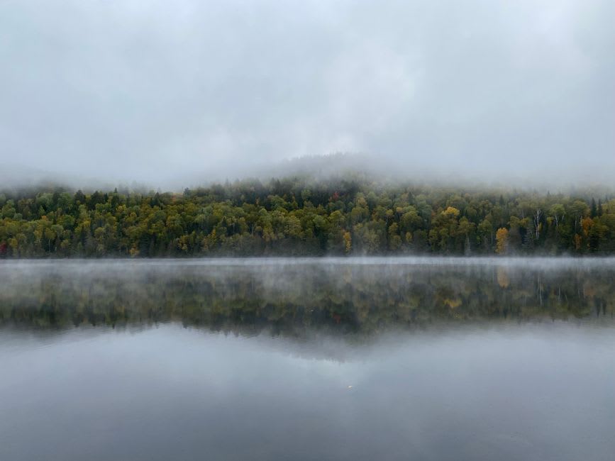
We camped two nights at a paddle-in site on Lac Wapizagonke, no road access, just a clearing in the spruce with a fire ring and a view. The loons started calling right at dusk and didn’t stop until well after we’d gone quiet ourselves, and Lia said it was the first time in months she’d fallen asleep without her phone within reach, mostly because there was no signal at all. In the morning we hiked the Sentier Laurentien, a multi-day backcountry route, for just the first few kilometres — steep enough to remind you these are old mountains, not hills, worn down but not surrendered.
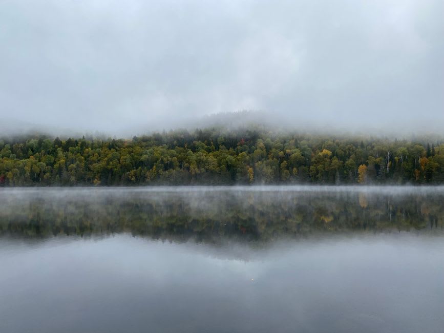
The park runs a good visitor centre at the Saint-Jean-des-Piles entrance with canoe and kayak rentals, and in winter the same lakes become a cross-country ski and snowshoe network — over 80 kilometres of groomed trail, apparently spectacular, though we haven’t been back for that season yet. What struck me most was how empty it felt for a park two hours from a major city. Fewer people than Tremblant, no lift lines, no resort towns — just water, rock, and the patient, unhurried quality of a landscape that has had a very long time to settle into itself.
When to go: June through September for canoeing and camping — reserve backcountry sites well ahead, they fill fast in August. Late September for fall colour reflected across the lakes, arguably the best version of the park. Winter (January–March) for cross-country skiing on some of the better-groomed trails in the province.
Keep exploring
More from Québec
 quebec
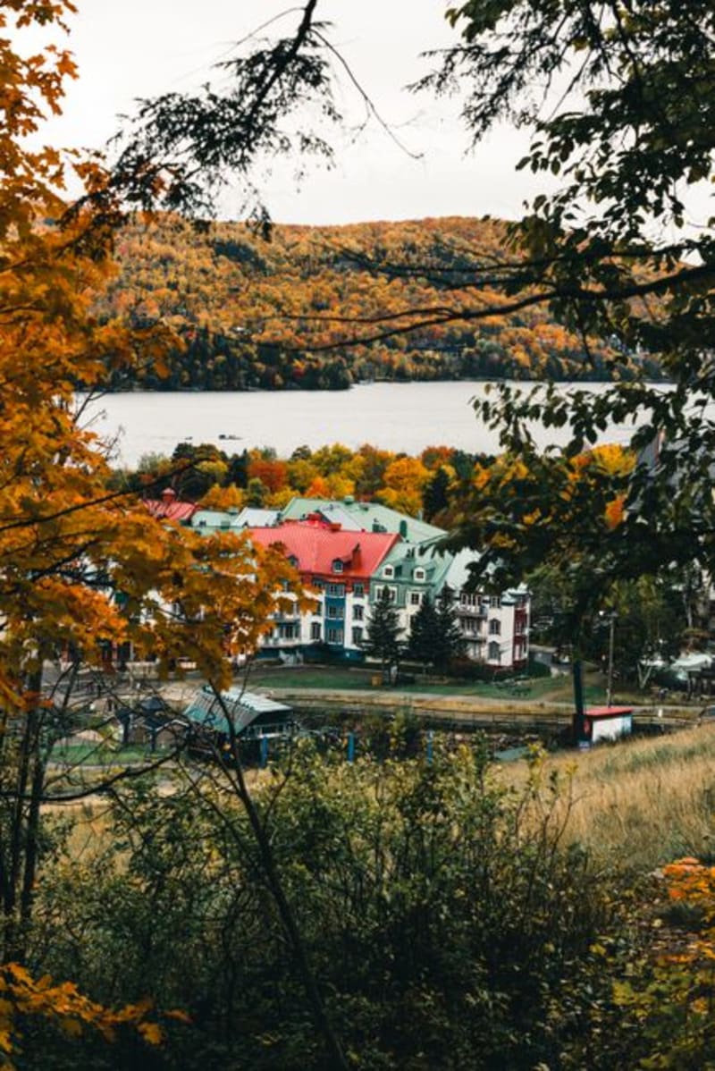
 Parc National du Mont-Tremblant
Quebec's oldest and largest provincial park — 1,500 square kilometres of lakes, moose, and canoe routes that make the ski resort thirty minutes away feel like a different planet.
Explore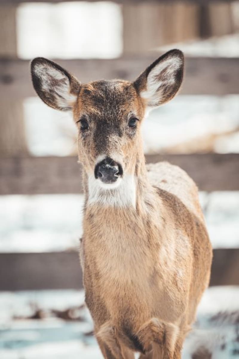 quebec
 Parc Oméga
A drive-through wildlife park in the Outaouais where wolves, elk, and wild boar approach the car uninvited.
Explore quebec
 Percé Rock
A limestone monolith punched clean through by the sea — the single most photographed piece of rock in Quebec, and it earns every frame.
Explore quebec
 Péribonka
The riverside village that inspired Quebec's founding literary myth of survival on the land — now a quiet stretch of farmland, museum, and one of the great wild blueberry regions in North America.
Explore quebec
 Le P'tit Train du Nord
A 234-kilometre rail trail carved from an abandoned railway line, stringing together nearly every Laurentian village from Saint-Jérôme to Mont-Laurier.
Explore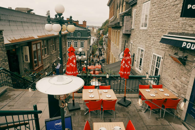 quebec
 Place Royale
The stone square where New France was born, still smelling faintly of empire and river salt.
Explore