Fjord-du-Saguenay National Park
"Norway has fjords. Quebec has a fjord that thinks it's Norway, and it isn't wrong."
One of the southernmost fjords on Earth — cliffs of Precambrian rock dropping 350 metres into water carved by an ice age, best seen from a sea kayak at dawn.
Cap Trinité announces itself before you paddle around the bend to see it properly — the cliff face rises in three distinct rock terraces, each one roughly a hundred metres, stacked to a total height of about 350 metres above the fjord. I’d read the statistics beforehand and they hadn’t prepared me for the actual scale of paddling a sea kayak beneath it, tiny and slow against a wall of Precambrian rock that is, geologically speaking, some of the oldest exposed stone on the planet. A statue of the Virgin Mary stands on the second terrace, placed there in 1881 by a travelling salesman who’d promised it in exchange for surviving a fall through the fjord ice. It’s a small white figure against an enormous grey cliff, and from the water it looks almost apologetic for being there at all.
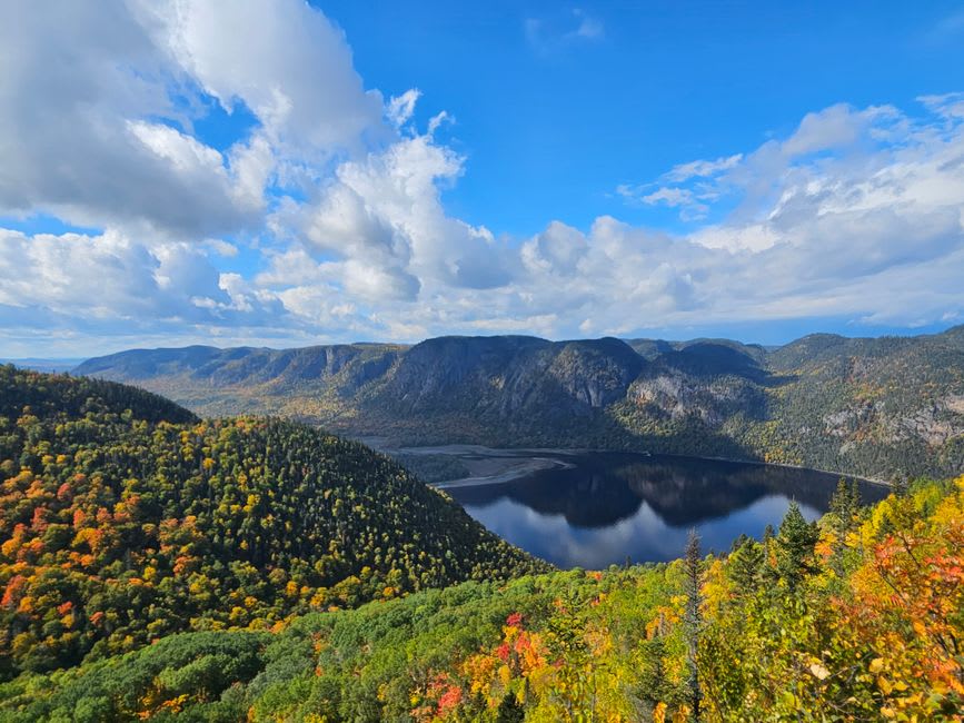
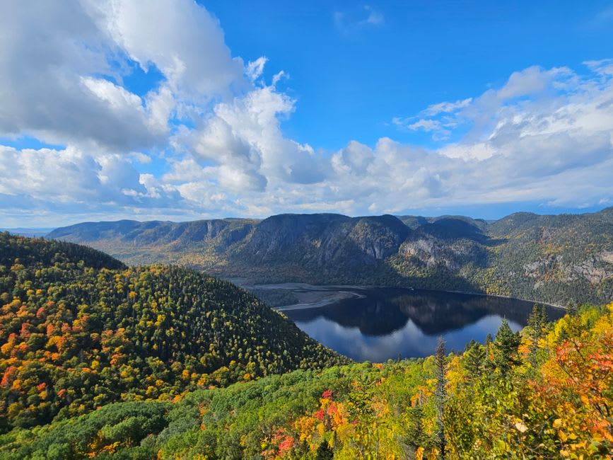
Fjord-du-Saguenay National Park protects the shoreline of the fjord for roughly 100 kilometres, from Sainte-Rose-du-Nord down to the confluence with the St. Lawrence, and it’s structured around three main sectors — Baie-Éternité, Baie-Sainte-Marguerite, and L’Anse-de-Tabatière — each with its own trail network dropping down to the water. I based myself at Baie-Éternité and did the hike up to the Statue de la Vierge lookout, which takes you above Cap Trinité rather than beneath it: a two-hour climb through boreal forest that opens, without much warning, onto a cliff-edge view down the length of the fjord toward the St. Lawrence, the water so dark and still it barely registered as liquid.
The kayaking, though, is the real way to understand the fjord’s scale. The Saguenay is technically a ria — a drowned river valley deepened by glacial scouring — and the water column beneath the boat is genuinely strange: a warm, brackish surface layer over cold, near-oceanic deep water, a stratification so distinct that beluga whales use the fjord as a nursery precisely because of it. I paddled out from Baie-Sainte-Marguerite at dawn, when the water was glass and the cliffs doubled themselves in reflection, and the guide cut the group’s chatter with a raised hand about twenty minutes in — a beluga mother and calf had surfaced fifty metres off our bows, moving upriver without hurry.
Sainte-Marguerite Bay itself is a designated beluga nursery zone, protected from boat traffic during calving season, and it’s one of the few reliable places in the world to see mother-calf pairs in a fjord environment rather than open ocean. The contrast between the fjord’s stillness and the animals moving through it — enormous, unhurried, entirely at home in water this cold and this deep — is the thing I keep coming back to.
When to go: June through September for kayaking and the best chance at beluga sightings in Baie-Sainte-Marguerite. The Statue de la Vierge hike is spectacular in early October fall colour, though the water sports wind down by then.
Keep exploring
More from Québec
 quebec
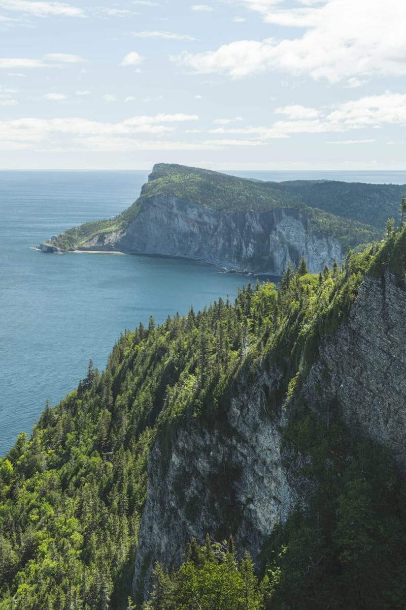
 Forillon National Park
Where the Appalachian mountain chain finally runs out of continent and drops straight into the Gulf of St. Lawrence — the literal end of the land.
Explore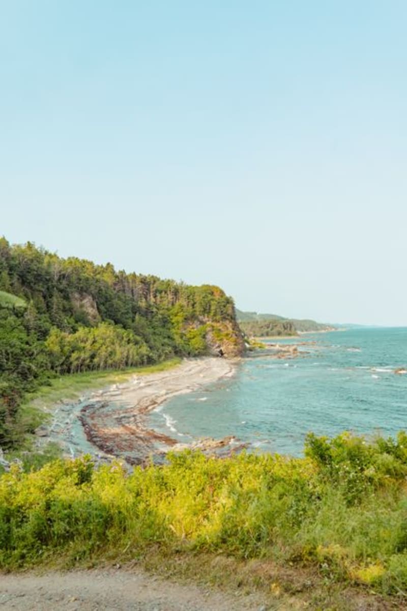 quebec
 Gaspé
The town where Jacques Cartier planted a cross and claimed a continent he didn't understand — now a quiet fishing port with an outsized place in Canadian origin stories.
Explore quebec
 Gatineau
The federal capital's quieter twin across the Ottawa River — French-speaking, riverside, and permanently underrated.
Explore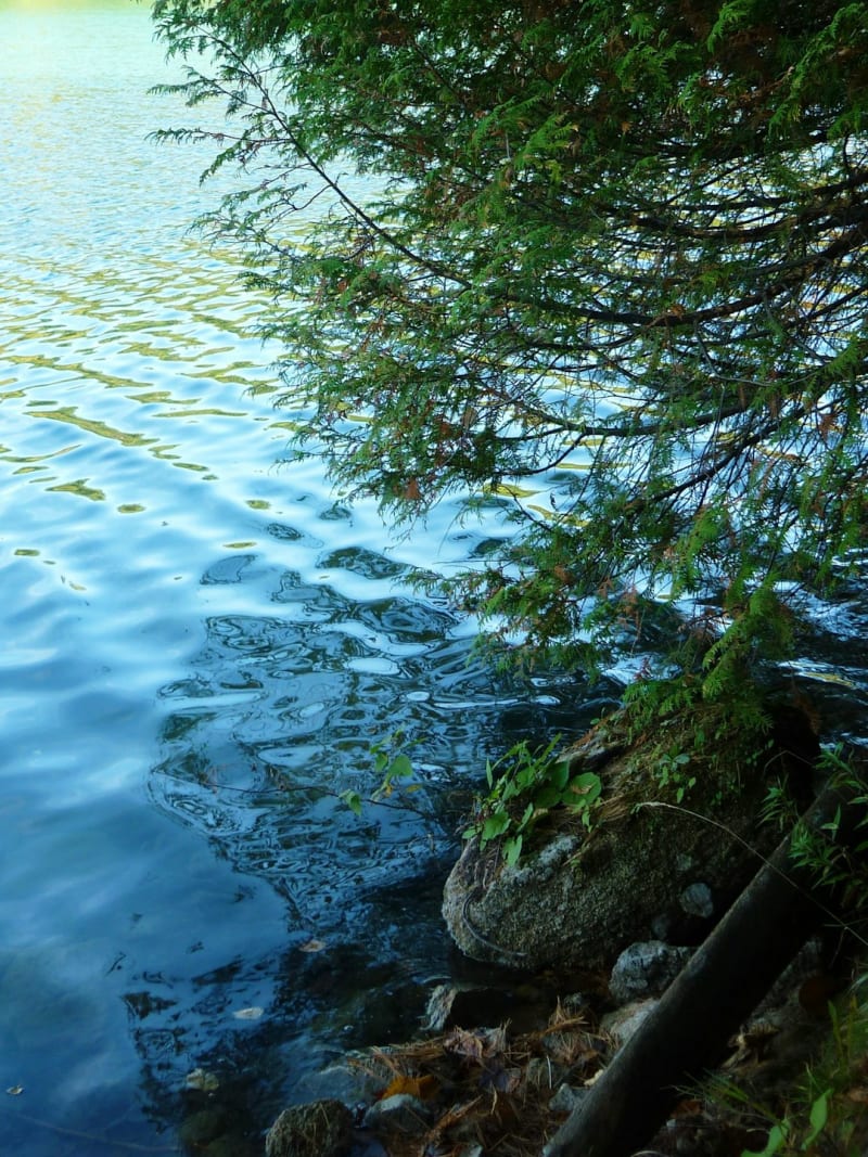 quebec
 Gatineau Park
361 square kilometres of Laurentian forest and lakes minutes from a federal capital — the wilderness Ottawa-Gatineau keeps in its back pocket.
Explore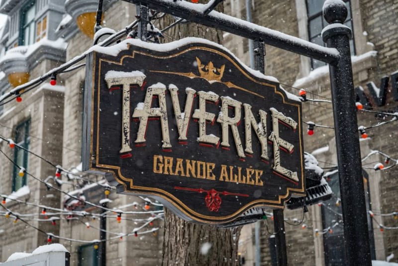 quebec
 Grand-Mère
A former paper-mill town named for a rock that looks like an old woman's face, now better known for its suspended footbridge and quiet river trails.
Explore quebec
 Grande Allée
Quebec City's grand boulevard, where Victorian mansions and summer terrasses operate as one long, unapologetic party.
Explore