Cabo Rojo
"The cliffs are literally red. The salt flats are literally pink. Subtlety is not Cabo Rojo's style."
The southwest corner of Puerto Rico is a different island. Not metaphorically — the geology changes, the vegetation changes, the light changes. Coming down from the central mountains toward the Caribbean coast, the green interior gives way to dry scrubland, cactus, and then, approaching Cabo Rojo, a flat landscape of salt pans and mangrove that is the closest Puerto Rico comes to something other than tropical. I drove out on a January afternoon on a road that became increasingly improvised, and arrived at the salt flats — Las Salinas — as the sun was dropping toward them.
Las Salinas de Cabo Rojo have been harvested for salt since at least the 18th century. The evaporation pools range in color from clear to pale green to a deep rose-pink, the pink produced by halophilic algae and brine shrimp that thrive in the hypersaline water. At dusk, when the light comes from the west and hits the pools at a low angle, the pink intensifies to something operatic. I walked along the dike paths between the pools for an hour, alone except for a handful of birds — egrets, stilts, roseate spoonbills wading in the shallows with the solemn focus of animals doing exactly what they are designed to do. I had heard that a pair of American flamingos occasionally appears at Las Salinas, an improbable fact that felt entirely consistent with the improbability of the rest of the place.

The Faro Los Morrillos — El Faro de Cabo Rojo — sits at the very southwestern point of Puerto Rico, on a headland of red limestone that gives the cape its name. From the lighthouse, the view runs north along the Caribbean coast and south toward nothing but open water until the coast of Colombia, and the cliffs below drop thirty meters into water that is, at this point, approximately the color of oxidized copper seen through glass. The lighthouse itself, built in 1882, is the kind of structure that makes you understand why lighthouses have their own aesthetic cult following. Below the cliffs, accessible by a trail that requires commitment and appropriate footwear, is Playa Sucia — officially La Playuela — a beach that looks like someone constructed a Caribbean paradise in a place no one was supposed to find, then forgot to tell anyone.
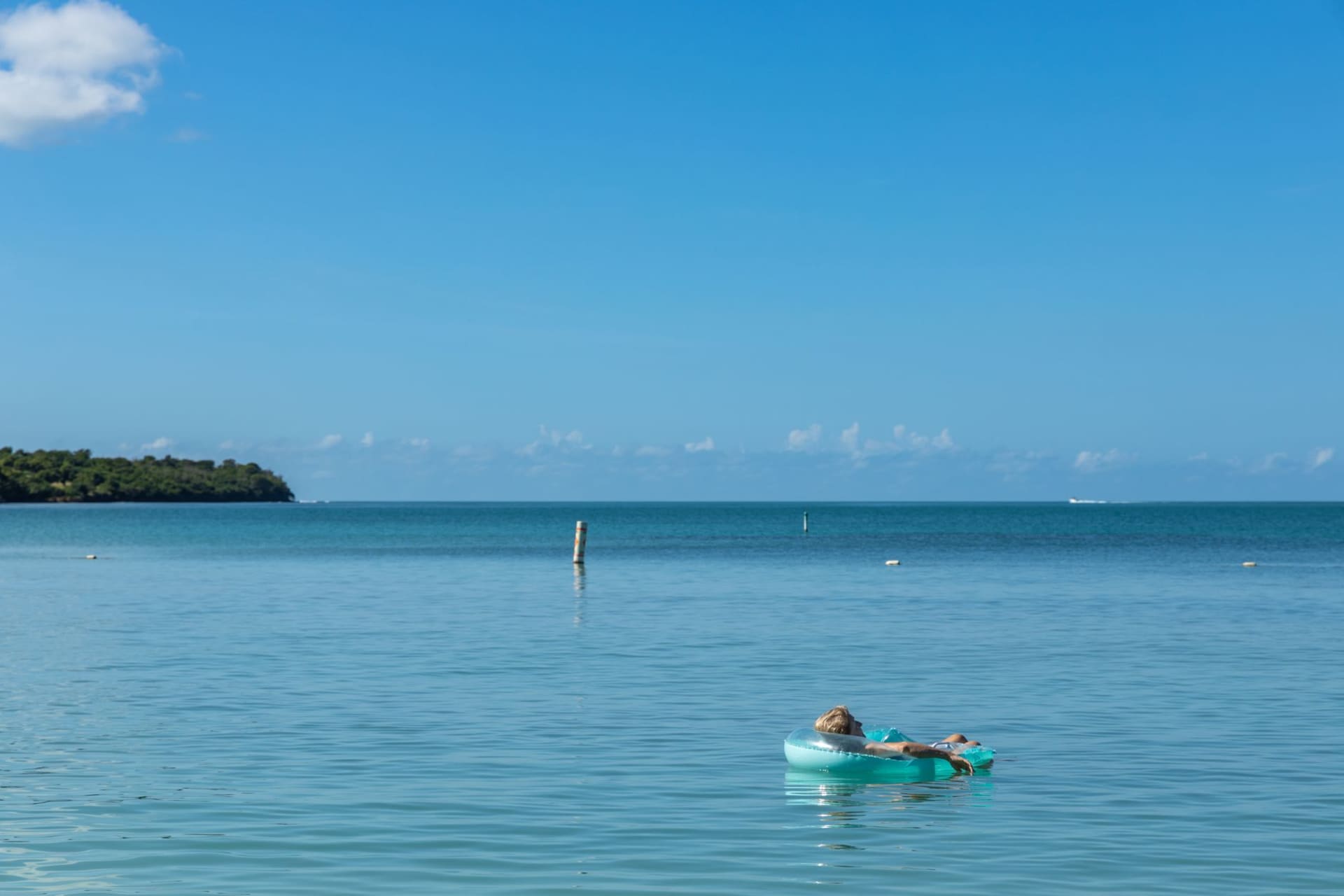
Boquerón, the closest real town to Cabo Rojo, has a different energy: beach bars, fishermen selling oysters from coolers on the main road, a long public beach where on weekends the whole town seems to be in the water at once. The oysters — fresh, local, served with lime and hot sauce from a cooler on a folding table — were the best I ate in Puerto Rico. I ate twelve of them standing in a parking lot and felt no shame about this. The process of eating twelve oysters in a parking lot while a pelican watches from a nearby piling is one of those activities that sounds absurd in description and feels entirely correct in practice.

The drive along the coast from Boquerón to the lighthouse passes small fishing villages, roadside mariscos stands, and the occasional pelican perched on a piling with the philosophical air of an animal that has resolved all its questions. Some of the best views require roads that are technically passable and genuinely terrible. Go slowly, bring a car that you don’t mind getting dusty, and plan to be there at dusk if you can manage the timing.
When to go: The dry season — December through April — is essential here. The southwest gets very little rain at any time, but winter brings the clearest skies, calmest water, and the most concentrated birdlife on the salt flats. The lighthouse area closes at dusk; arrive at least two hours before sunset to see both the salt flats and the lighthouse in good light. On weekdays Playa Sucia is nearly empty; on weekends it fills with local families, which is a different and equally good experience.