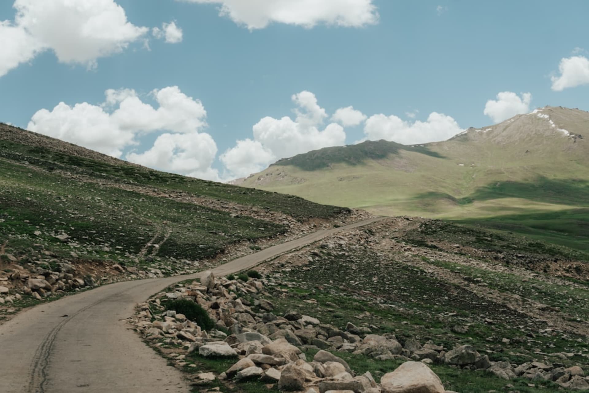
Shimshal Valley
"I gripped the door handle for two hours on that road and Lia never once let go of my knee."
A remote high-altitude Wakhi village reached by one of the world's most exposed jeep tracks, hemmed in by 6,000-meter peaks.

The road to Shimshal is the destination, more or less, before you even arrive. It’s about sixty kilometers off the Karakoram Highway, but budget three to four hours for it, because the track carved into the cliffs above the Shimshal River isn’t really a road in any sense I’d recognized before — one lane, no guardrail, sheer drops of a hundred meters or more in places, built entirely by the villagers themselves with hand tools starting in the 1980s because the government wouldn’t fund it. Our driver, who does this run several times a week, chain-smoked the entire way with one hand on the wheel and looked completely unbothered while Lia dug her nails into my leg every time we passed an oncoming vehicle on a blind curve.
What waits at the end is worth the fear, though. Shimshal sits at around 3,100 meters, a green patchwork of wheat and potato fields against a backdrop of some genuinely enormous peaks — Distaghil Sar over 7,800 meters, visible from the village on a clear day. The Wakhi community here has lived semi-isolated for centuries, herding yaks up to high summer pastures, and there’s a self-sufficiency to the place that felt different from anywhere else we visited in Hunza. Kids here are famous within Pakistan’s mountaineering circles; the valley has produced a disproportionate number of the country’s professional high-altitude porters and guides, something a schoolteacher we met was clearly proud to tell us about.
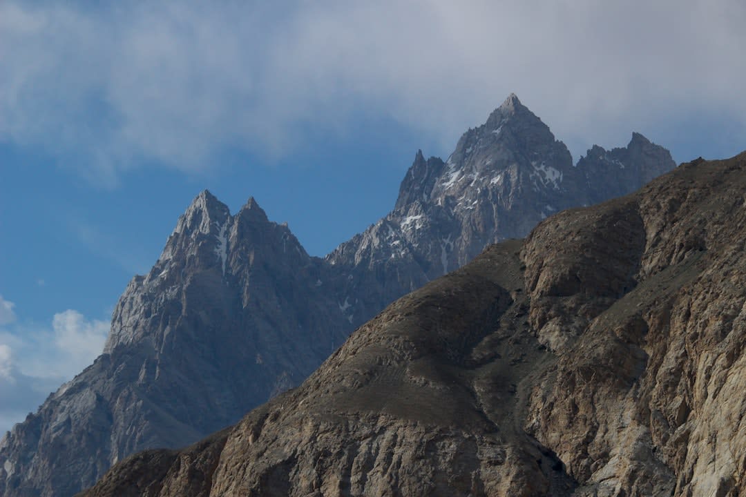
We stayed with a family running a homestay, sleeping on cushions in a room warmed by a wood stove, eating a dinner of yak-milk tea and flatbread that our host’s wife made without once looking up from the conversation she was having with Lia in a mix of Urdu and hand gestures. In the morning we walked up toward the Shimshal Pamir, a high plateau used for summer grazing, and got maybe two hours in before altitude and common sense turned us back — but even that short stretch, walking alongside a herder moving his yaks, felt like stepping into a way of life that hasn’t changed all that much in a long time.
What struck me most, honestly, was how the isolation cuts both ways. Mobile signal is patchy at best, the nearest hospital is that terrifying road away, and yet nobody we spoke to seemed to want to leave. A young guide told us flatly that Shimshal has everything he needs and Karachi has nothing he wants, and I believed him completely.

When to go: July and August, when the road is clear of snow and the high pastures are accessible — outside that window the pass and much of the valley are effectively cut off.
Keep exploring
More from Pakistan
 pakistan
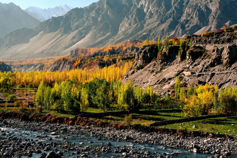
Skardu
A high-altitude cold desert at the confluence of the Indus and Shigar rivers, gateway to K2 and earth's most concentrated cluster of giants.
Explore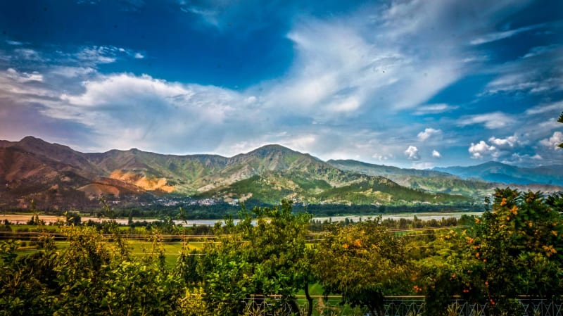 pakistan
Swat Valley
A lush green valley once called the Switzerland of the East, where Buddhist stupas stand in meadows and the rivers run cold and clear.
Explore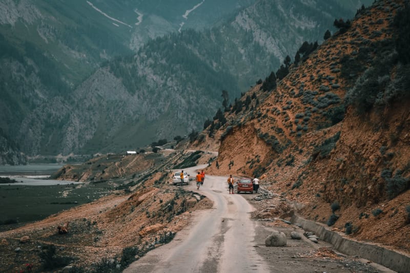 pakistan
Chitral
A remote mountain town at Pakistan's northwestern extreme, gateway to the Kalash valleys where a pre-Islamic culture has survived intact.
Explore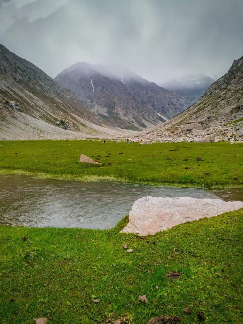 pakistan
Deosai Plains
One of the highest plateaus on earth, a treeless wilderness of wildflowers and snowmelt between Skardu and Astore where Himalayan brown bears still roam and the silence has actual weight.
Explore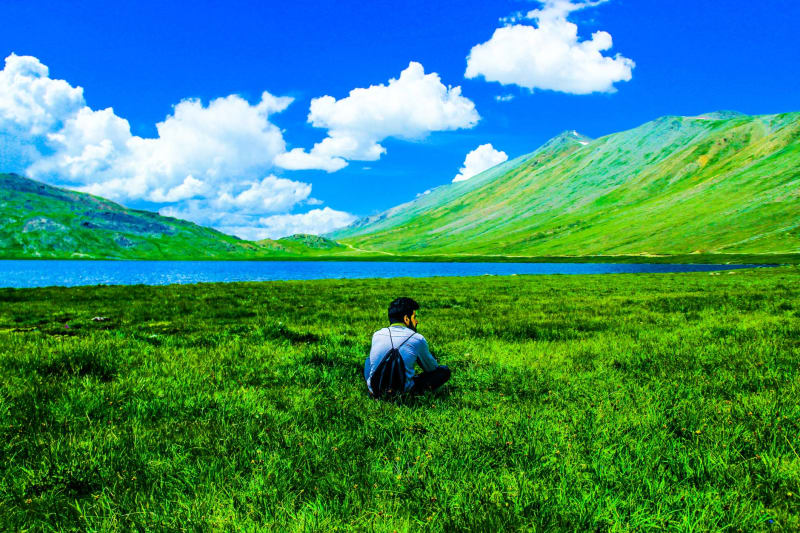 pakistan
Fairy Meadows
A high alpine clearing at the foot of Nanga Parbat where the ninth-tallest mountain takes up your entire sky.
Explore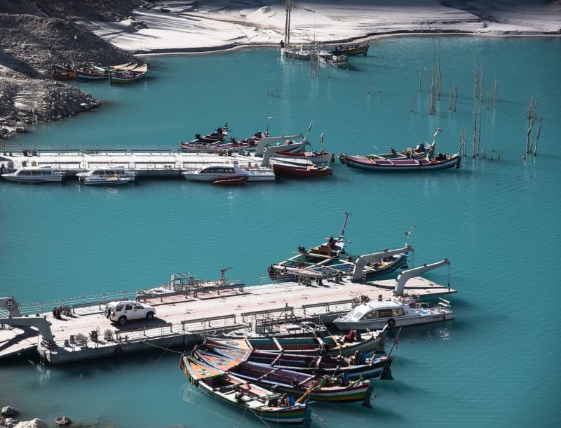 pakistan
Gilgit
A mountain crossroads city where four of the world's great ranges converge and every face you see looks like it's from a different civilization.
Explore