Oodnadatta Track
"Every ruin on the Oodnadatta Track marks a place where the railway tried to beat this desert and eventually gave up."
A 620-kilometre unsealed track following an old railway line and Aboriginal trade route past artesian springs, ghost sidings, and one determinedly eccentric roadhouse.
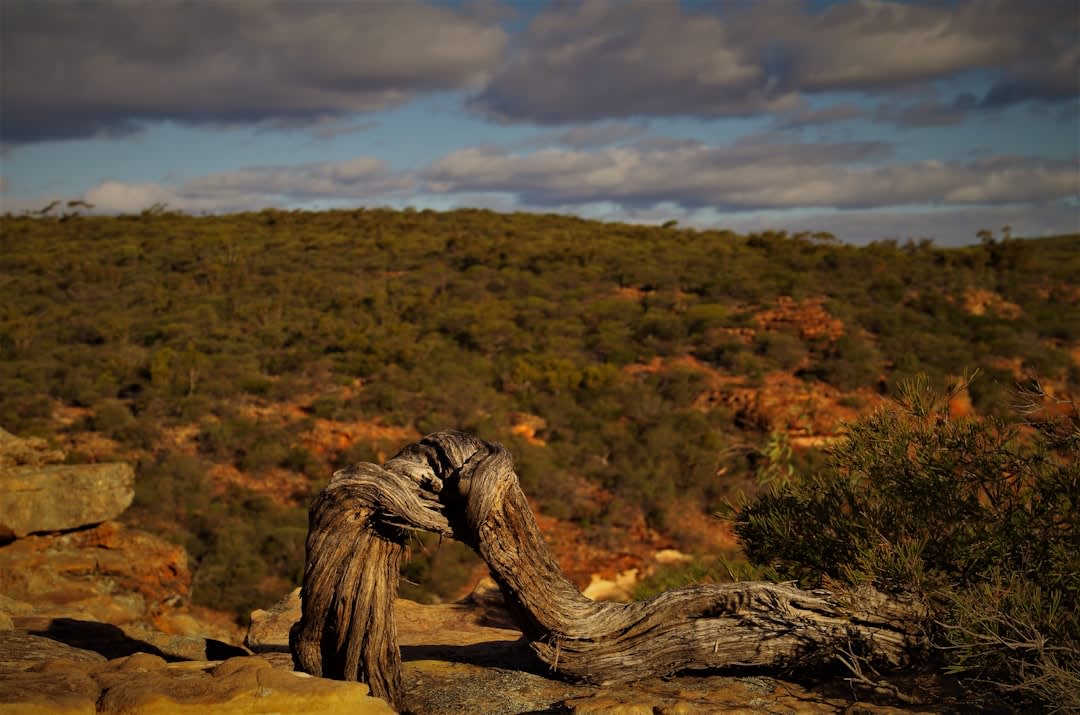
The Oodnadatta Track runs 620 kilometres from Marree to Marla through some of the most sparsely populated country I’ve ever driven, following a route Aboriginal people used for millennia to move between permanent water sources, later adopted almost exactly by the old Ghan railway line before the floods and shifting sands finally forced the railway onto a more stable route further west in 1980. What’s left along the original line is a string of abandoned sidings and stone ruins — Curdimurka, William Creek, Strangways Springs — slowly being reclaimed by the desert, and I found myself stopping at nearly every one, unable to just drive past a hundred-year-old railway platform standing alone in absolute silence with nothing around it for a hundred kilometres.
William Creek itself is the track’s one genuine settlement, population usually cited as around ten, dominated entirely by a single pub that also functions as the town’s post office, fuel stop, and social centre. I had a beer there covered in the dollar bills and business cards that travellers have been pinning to the walls and ceiling for decades, a tradition nobody could explain to me with any confidence beyond “that’s just what you do here.” Anna Creek Station, the largest cattle station on earth at roughly the size of Belgium, surrounds the town on every side, which puts the emptiness in a scale I still find hard to process.
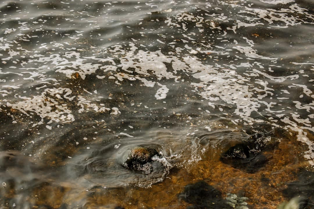
The mound springs near William Creek — natural artesian springs bubbling up from the Great Artesian Basin, the only permanent water for enormous distances in every direction — are where I understood why anyone crossed this country at all before cars. Standing at the Bubbler, watching water and gas bubble up through mud that’s been doing exactly this for thousands of years, made the whole abstract idea of an underground water basin the size of a small continent suddenly feel completely real.
When to go: April to October. The unsealed surface can become impassable after rain and closes without warning — check road conditions at Marree or William Creek before setting out, and carry two spare tyres, not one.
Keep exploring
More from The Outback
 outback
 Simpson Desert
A sea of parallel red sand dunes running for a thousand kilometres across three states, crossed by a single legendary track and almost nothing else.
Explore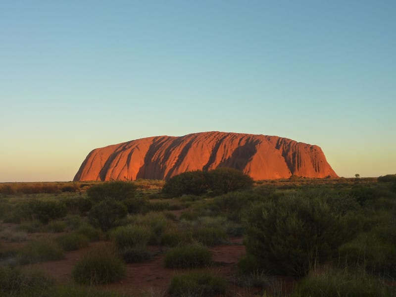 outback
 Uluru
A sandstone monolith so large and so red it reads less like a rock than like a heartbeat the earth is still making.
Explore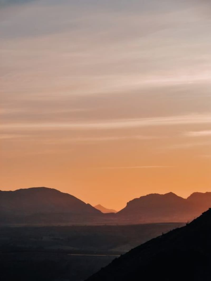 outback
 West MacDonnell Ranges
A 200-kilometre chain of rust-red ridges west of Alice Springs hiding cold spring-fed waterholes in narrow gaps carved through the rock.
Explore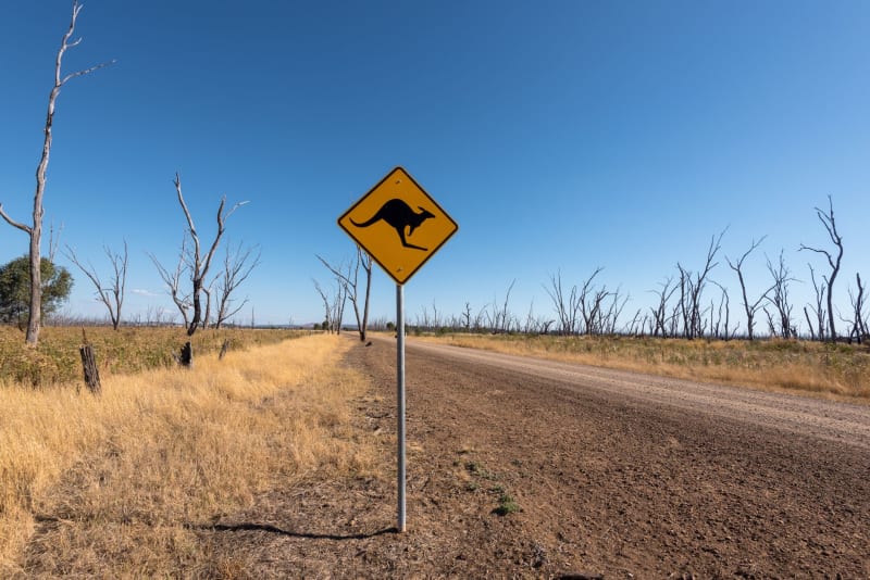 outback
 Alice Springs
The unlikely town at the dead centre of a continent where a gap in the ranges frames everything you thought you knew about remoteness.
Explore outback
 Arkaroola
A private wildlife sanctuary in the northern Flinders Ranges where a single family turned shattered, mineral-streaked mountains into one of Australia's best stargazing destinations.
Explore outback
 Birdsville
A town of about a hundred people at the edge of the Simpson Desert that fills with tens of thousands every September for a horse race in the middle of nowhere.
Explore