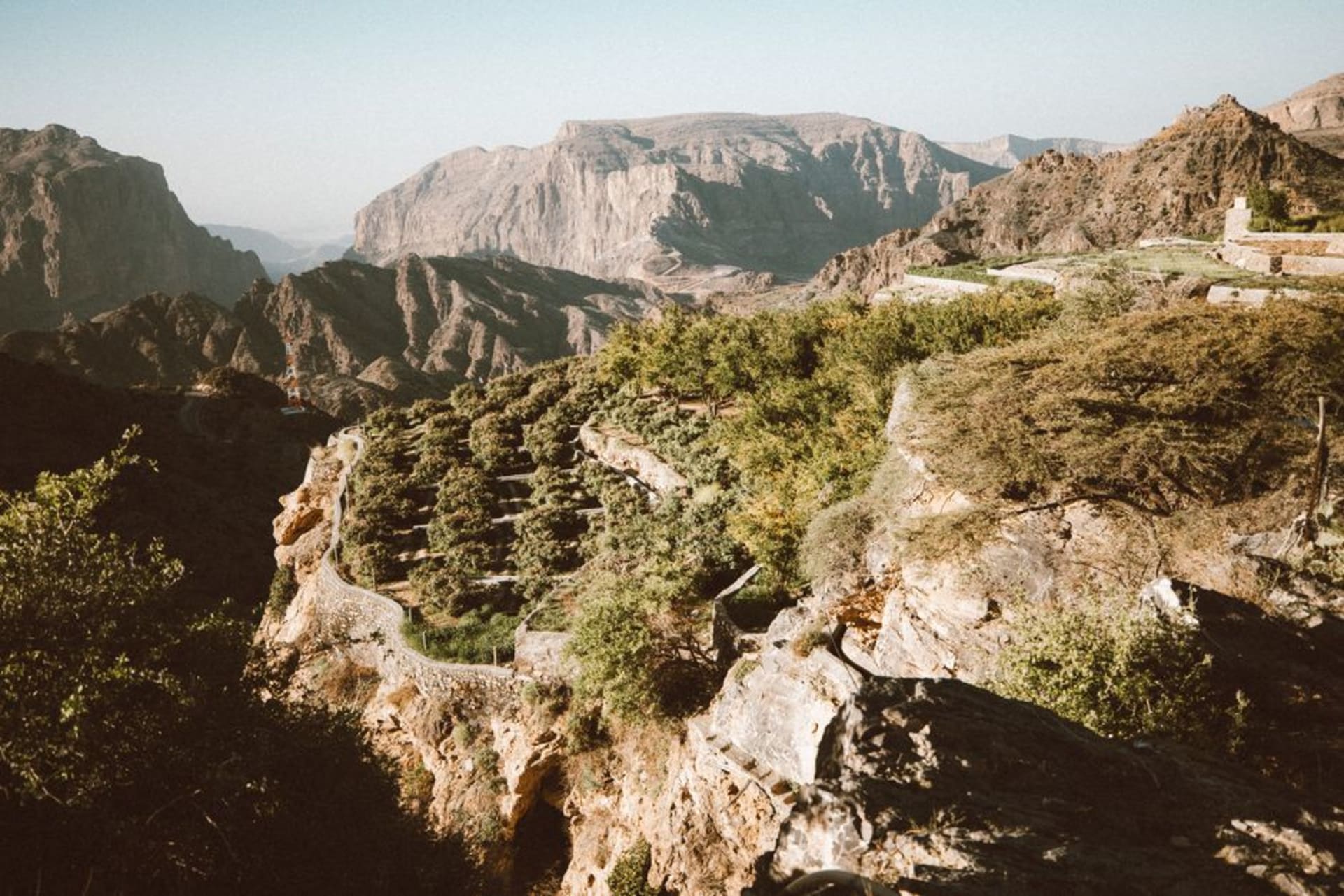
A vast escarpment nature reserve above Mirbat where the plateau drops a kilometer straight down and Arabian leopards still roam, rarely seen.
We’d been warned, vaguely, that the road up to Jebel Samhan was rough, and the vagueness turned out to be doing a lot of work. It’s a graded track, manageable in a regular SUV but slow going, switchbacking up from the coastal plain near Mirbat until the vegetation thins out and the land opens into a stark limestone plateau that looks almost lunar compared to the green wadis further west. Then, with essentially no warning, the ground just stops.
The Edge of Everything
Jebel Samhan’s defining feature is its escarpment — a nearly sheer drop of close to a thousand meters down to the coastal plain and the Arabian Sea beyond. We got out of the car at one of the unmarked viewpoints, and I felt my stomach do something unpleasant just approaching the edge, even from a safe distance. There are no railings, no barriers, nothing beyond common sense keeping you from the drop, which somehow makes the view hit harder than it would behind glass. Lia, who has considerably steadier nerves than I do around heights, walked right up to look straight down while I stayed a very deliberate two meters back, taking photos of her taking photos of the abyss.
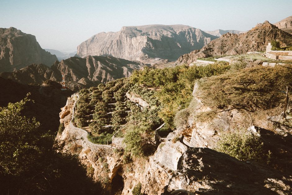
Leopard Country, Even If You Never See One
The reserve exists primarily to protect one of the last viable populations of the Arabian leopard, a critically endangered subspecies that has all but vanished from the rest of the peninsula. Nobody we spoke to had actually seen one — camera-trap data suggests only a handful remain across the whole reserve — but the knowledge that they were somewhere out on that plateau changed how I looked at every gap in the rocks. We did see Nubian ibex, a family of them picking across a scree slope with an ease that made our careful footing look ridiculous, and a caracal that crossed the track ahead of us at dusk, gone before either of us could get a camera up.
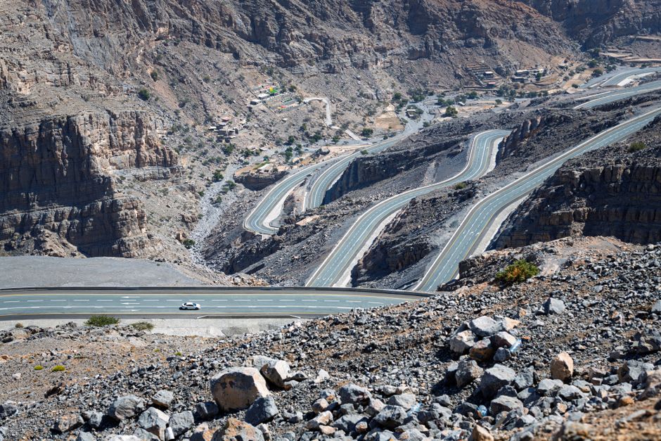
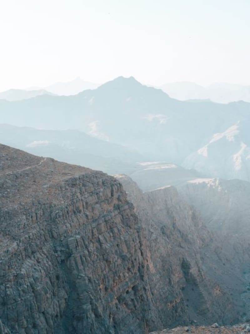
There’s a starkness to Samhan that felt like a deliberate counterpoint to the rest of Dhofar’s green khareef postcards — this is the region’s dry, wind-scoured, uncompromising side, and it made the whole peninsula feel bigger and less resolved than the tourist version of Salalah suggests.
When to go: October to April, when temperatures on the exposed plateau are bearable and the graded track is least likely to be affected by runoff. A high-clearance vehicle is strongly recommended, and it’s worth arranging a local guide through Salalah for the best viewpoints and any wildlife permits required.
Keep exploring
More from Oman
 oman
oman Jebel Shams
Oman's highest peak and the rim of Wadi Ghul, the 'Grand Canyon of Arabia' — a mile-deep gash in the Al Hajar range.
Explore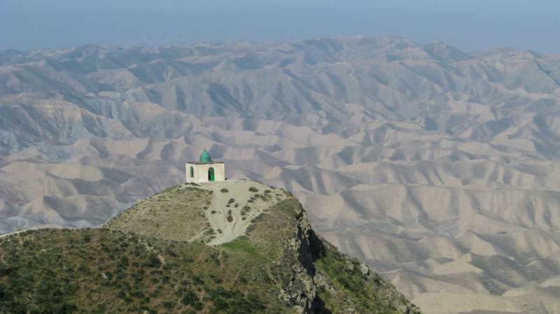 oman
oman Job's Tomb (Nabi Ayoub)
A hilltop shrine to the biblical and Quranic prophet Job, wrapped in cloud and one of the best views in Dhofar.
Explore oman
oman Khasab Fjords
The 'Norway of Arabia' — dramatic sea inlets cutting through barren limestone mountains of the Musandam.
Explore oman
oman Khor Najd
A cliff-top viewpoint above the Musandam fjords, reached by a rough 4x4 track, where the khors look less like Norway and more like the moon.
Explore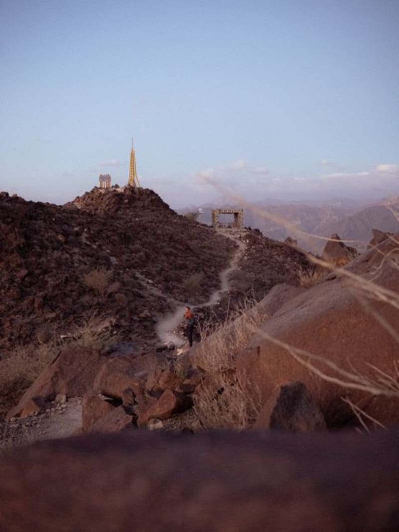 oman
oman Khor Rori (Ancient Sumhuram)
Ruins of a 2,000-year-old frankincense port overlooking a lagoon, where the trade routes to Rome and India actually began.
Explore oman
oman Kumzar
An isolated fishing village at the northern tip of Arabia, reachable only by boat, where people still speak a language found nowhere else.
Explore