
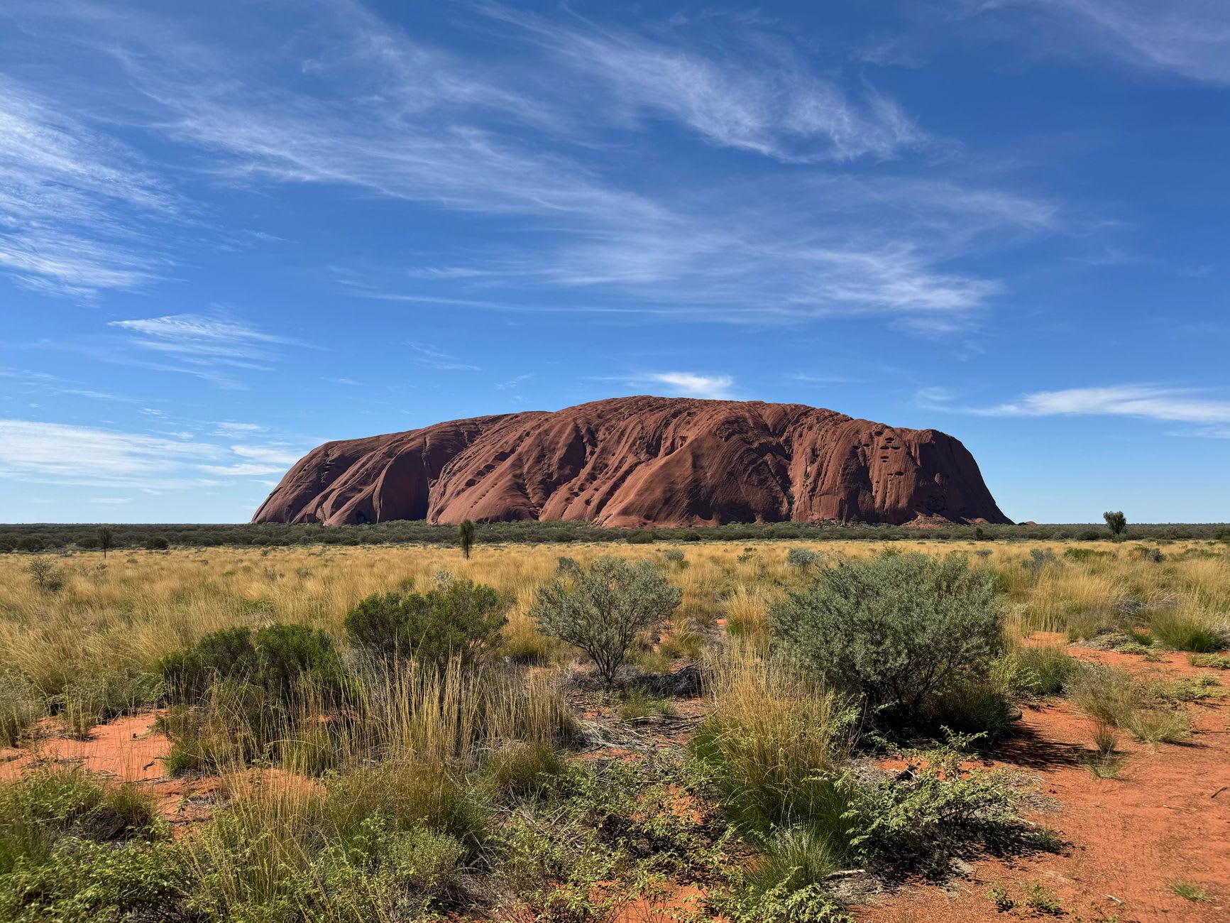
Arnhem Land
"Getting a permit to enter Arnhem Land is the only bureaucratic process I have undergone that felt like a privilege."
You need a permit to enter Arnhem Land. This is not a formality — the land belongs to the Aboriginal clans who have governed it for thousands of years, and a permit is how you acknowledge that. I obtained mine through the Northern Land Council, a process that took several weeks and required me to state who I was, why I was coming, where I intended to go, and who had invited me. The process itself was clarifying. I had never had to justify a travel decision to the people whose country I was entering, and working out my reasons — genuine curiosity about the Yolŋu art tradition, an invitation from a small eco-tourism operator, the basic desire to see country that very few outsiders see — made me arrive more thoughtfully than I might have otherwise.
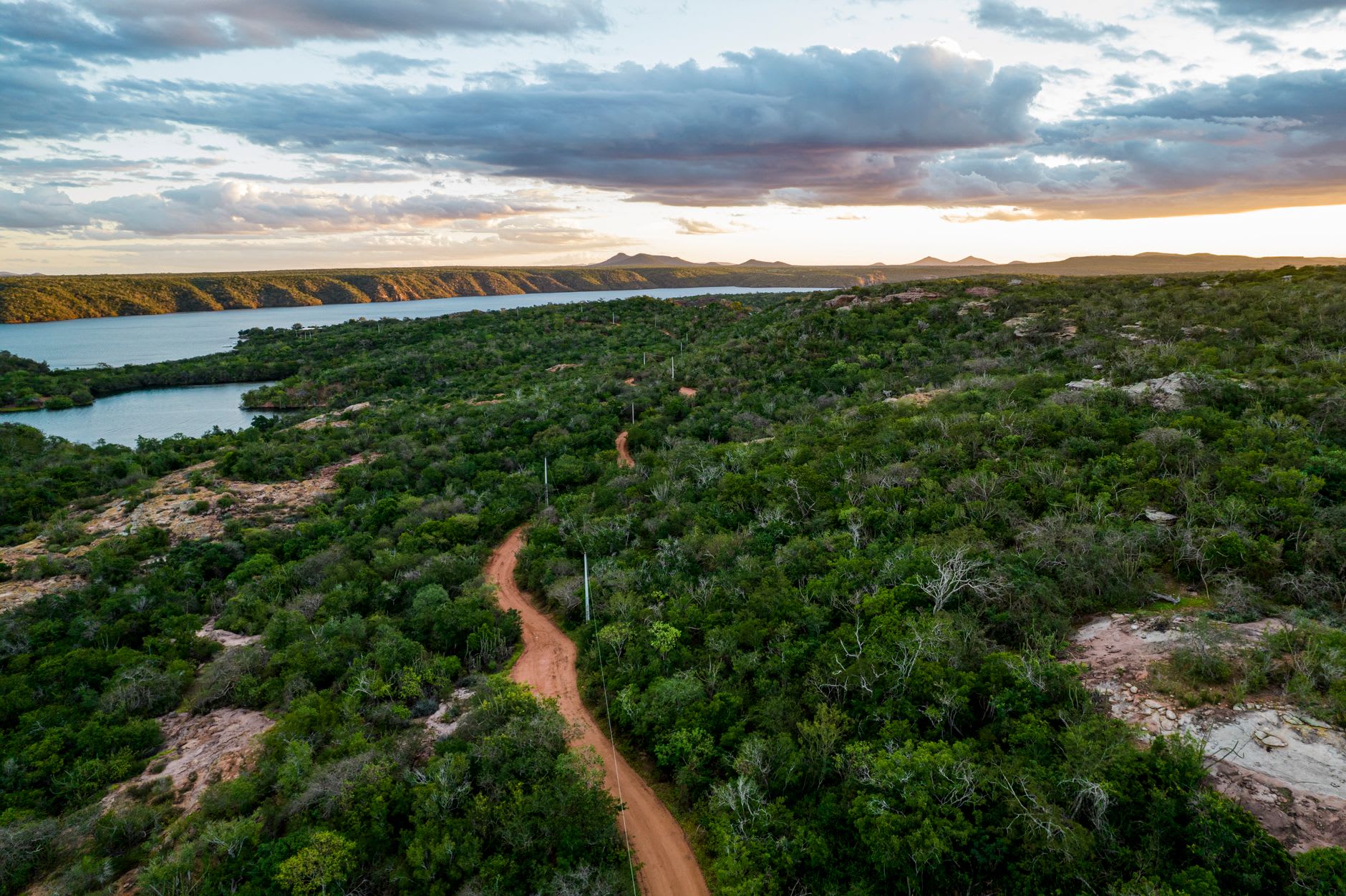
Arnhem Land is 97,000 square kilometres of land in the north-eastern corner of the Northern Territory, bounded by Kakadu to the west and the Gulf of Carpentaria to the east. The dominant language group is Yolŋu, though the territory encompasses dozens of distinct clan groups and language dialects. The Yolŋu are perhaps best known outside Australia for their bark painting tradition — one of the most sophisticated visual art systems in the world, one in which geometric patterns encode clan law, cosmology, and land ownership in a visual language that has been developing for millennia.
The Buku-Larrŋgay Mulka Centre in Yirrkala, near Nhulunbuy on the Gove Peninsula, is the most important institution I visited. It is simultaneously a gallery, an archive, and a living art centre — artists work on the premises, works are sold directly, the proceeds going to the artists and their communities rather than through a long chain of intermediaries. The works on display when I visited were unlike anything I had encountered in a city gallery: bark paintings two metres long with clan patterns that carry the weight of something that is not meant purely as decoration, manikay recordings (sacred song cycles), and photographs from the Yirrkala Church Panels, the famous petition of 1963 in which Yolŋu leaders embedded their land rights claim in a traditional visual language and presented it to the Australian parliament. It was the first formally recognised document of Aboriginal political resistance in Australia, and the original panels remain the property of the Yolŋu people.
I spent time in Gunbalanya (Oenpelli), near the western border of Arnhem Land, where the Injalak Arts Centre functions in the same spirit — a community-controlled enterprise producing and selling work by local artists. The Injalak Hill walk, guided by a local Traditional Owner, moved through rock art galleries containing paintings from multiple eras: X-ray style figures similar to those at Kakadu, contact-era paintings showing European sailing ships and rifles, and older abstract ochre work that has been dated to thousands of years before the present. Standing in a dry-season gully, looking at a painting of a Macassan prau that some ancestor had added to rock already old, I had the clear sense of being in a place where human time and geological time had been in genuine conversation.
The fishing in Arnhem Land is, for those who pursue it, legendary. Barramundi in the river systems, blue-bone trevally and Spanish mackerel offshore from Nhulunbuy. I am not a fishing person, but I understood from the operators I met that this dimension of the territory draws people willing to travel for days to reach water that has not been significantly fished. The rivers are that remote. The coastline is that intact.
When to go: The dry season, May through September, is when permits are most easily arranged and roads are passable. The wet season makes most of Arnhem Land completely inaccessible by land — the river crossings flood, and the dirt roads turn to impassable mud. Some operators run dry-season fly-in tours from Darwin and Jabiru to Yirrkala and Gunbalanya, which sidestep the road access entirely. Book tours and permits several months ahead for the June-August peak.