Simikot
"Simikot is where the map of Nepal stops offering suggestions and just gives you a runway and a river."
The roadless district capital of Humla, a cluster of stone-and-tin rooftops clinging to a ridge, and the last real outpost before the trail to Tibet.
There is no road to Simikot. That single fact tells you almost everything about Humla, the district it governs — a wedge of far-northwestern Nepal wedged between Tibet and the rest of the country, reachable only by a small plane out of Nepalgunj or Surkhet, weather permitting, which it frequently isn’t.
Waiting for the Plane, Twice
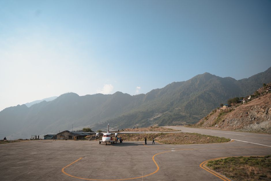
We spent two extra nights in Surkhet because the Simikot flights kept getting cancelled — low cloud over the airstrip, the pilot explained, apologetically, for the second morning running. When we finally landed, the strip itself turned out to be a grass-and-gravel shelf cut into the hillside above the Karnali River, and half the town seemed to have walked up to watch the plane land, which is apparently the daily entertainment.
The Last Town Before Tibet
Simikot itself is small and unglamorous in the best way — a main street of stone houses roofed in corrugated tin, a scattering of basic lodges catering to the trekkers and Kailash-bound pilgrims who pass through on their way toward the Tibetan border at Hilsa, four or five days’ walk further north. We weren’t headed to Kailash this trip, just to Simikot itself and a short loop into the hills above it, and I liked the town precisely because it wasn’t performing for through-travelers the way gateway towns often do.
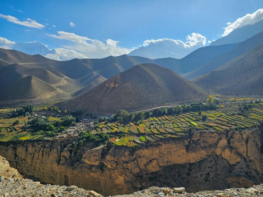
Humla is one of the poorest and least developed districts in Nepal, and it shows in ways that are hard to romanticize — the reliance on subsidized rice flown in during winter, the near-total absence of roads or electricity infrastructure beyond a few solar panels. But it also shows in the terraced barley fields climbing every available slope, the Tibetan-influenced Buddhist and Bon shrines scattered through the hills, and a hospitality that felt entirely unrehearsed, since almost no tourists come here who aren’t already committed to a much longer trek.
When to go: May through October offers the most reliable flight conditions and passable high trails, though flights can be cancelled by weather any time of year. Winter brings heavy snow and frequent isolation; most travelers avoid it entirely.
Keep exploring
More from Nepal
 nepal
nepal Sindhuligadhi
A ruined hilltop fort on the old trade route between Kathmandu and the Terai, where a single 18th-century battle against the British East India Company is still remembered as a founding act of Nepali resistance.
Explore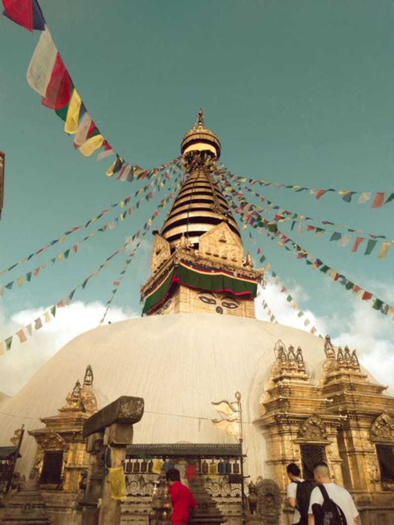 nepal
nepal Sing Gompa
A single-street cheese-making hamlet on the ridge between Langtang and Gosaikunda, where a Swiss-founded dairy has been turning yak milk into surprisingly good cheese since the 1980s.
Explore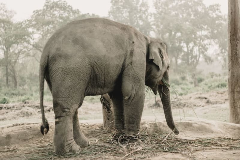 nepal
nepal Suklaphanta National Park
A far-western grassland reserve holding the world's largest population of swamp deer, wide open plains that feel more African savanna than Himalayan foothill.
Explore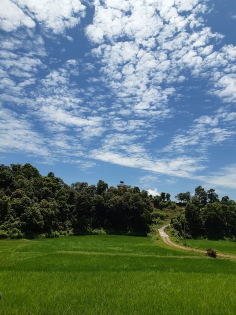 nepal
nepal Surkhet
The unglamorous mid-western hub valley that everyone passes through on the way to Humla or Jumla, and that turned out to be worth a day of its own.
Explore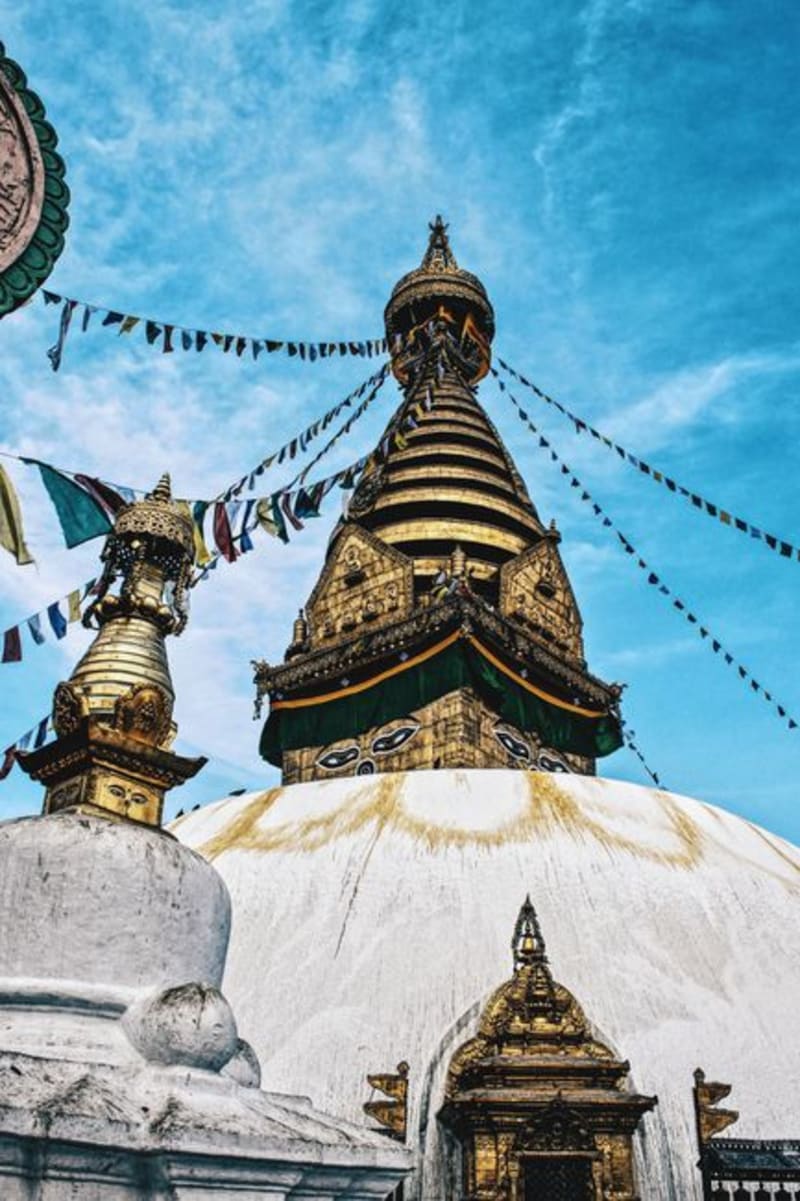 nepal
nepal Swayambhunath
The hilltop stupa Kathmandu calls the Monkey Temple, 365 steps up to a panorama shared with rhesus macaques and pilgrims.
Explore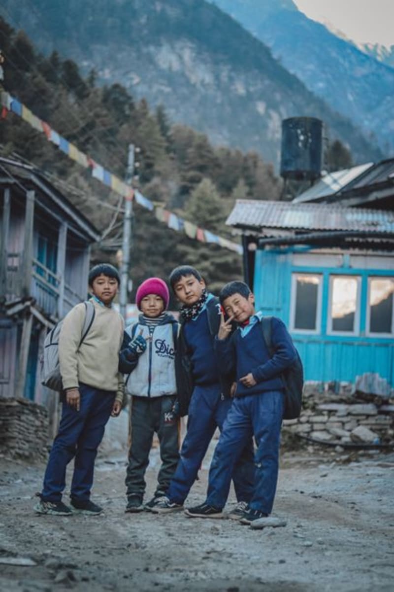 nepal
nepal Syabrubesi
The dusty trailhead town on the Tibetan border road where the Langtang trek actually begins — half transit hub, half last-chance outfitting stop, all business before the mountains take over.
Explore