Chimanimani Mountains
"I came to Mozambique for the coast and found my favorite morning of the whole trip in the mountains."
A cool, misty quartzite range on the Zimbabwe border where Mozambique's coastal heat finally gives way to silence and altitude.
I’ll admit it took me a while to believe we were still in Mozambique. Lia and I had spent two weeks sweating through Vilanculos and Tofo, and then we drove inland toward Manica Province and the air just kept getting thinner and cooler until we were pulling on fleeces at a guesthouse near the Chimanimani National Reserve. The range straddles the border with Zimbabwe, a wall of quartzite peaks that culminates at Monte Binga, which at roughly 2,436 meters is the highest point in the whole country. Nobody had really warned me how different this corner of Mozambique feels from the beach towns a few hundred kilometers away.
We hired a local guide in the village near the reserve entrance, a quiet man named Chenjerai who’d grown up walking these trails, and he took us up through montane grassland that felt almost otherworldly after so much coastal scrub and palm. He kept stopping to point out plants I’d never seen anywhere else — Chimanimani has an unusual concentration of species found nowhere but this range, and he clearly took pride in naming them for us one by one.
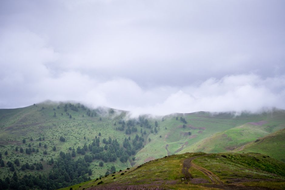
What stayed with me most, though, was something Chenjerai mentioned almost in passing: during the civil war, from 1977 to 1992, families from the surrounding lowlands fled up into these mountains because the terrain was too rugged and remote for the fighting to easily follow. Standing on a ridge with fog rolling through the valley below, I could see exactly why. There’s a stillness up there that feels protective, like the mountains themselves are doing the sheltering. We crossed one of the old trails that link the Mozambican reserve to Zimbabwe’s older Chimanimani National Park on the other side, and it struck me that this border barely means anything to the mountain — the peaks don’t care which flag flies where.
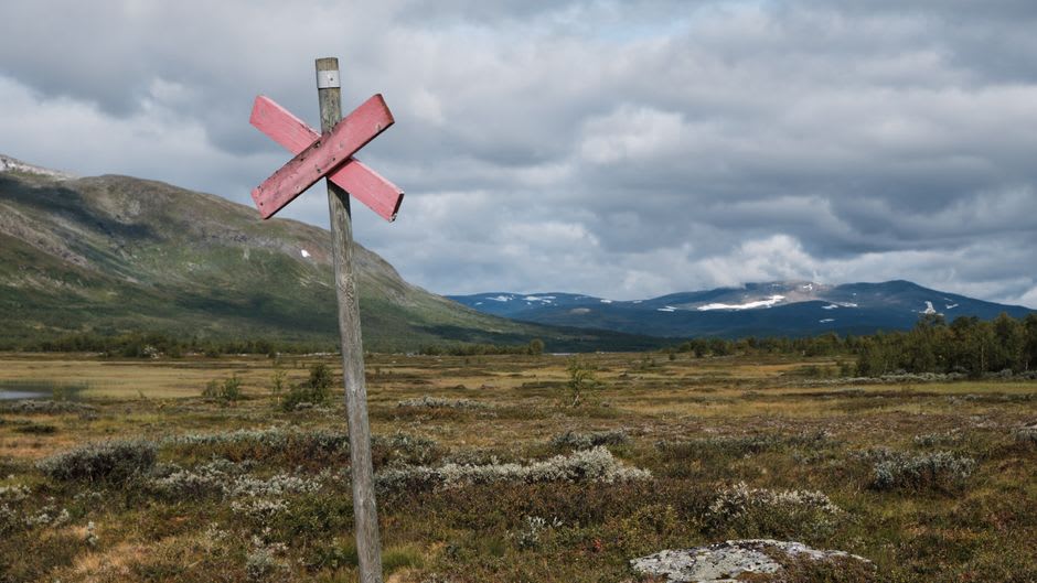
By our second day we’d stopped talking much at all, just walking and watching the light move across the forest below. Lia said it reminded her of hikes back in Europe more than anything in Mozambique, and I understood exactly what she meant. It’s a strange, wonderful contrast to carry in your head — turquoise water and hot sand just a few hours’ drive from cool granite ridges and drifting mist.
When to go: We went in June and the dry, cooler months from April through August gave us the clearest trails and the best visibility across the highlands — any wetter and I imagine those ridge views would have vanished into cloud entirely.