
Bob Marshall Wilderness
"Three days in without a road anywhere, and the silence stopped being a lack of something and became a presence of its own."
Over a million acres with no roads at all — the largest roadless wilderness in the contiguous United States, where you go in on horseback or on foot.

The outfitter’s camp was at the South Fork trailhead, eight kilometers from the nearest paved road, and the horses were already saddled when I arrived at six in the morning. There were seven of us plus the wrangler, a lean man from Choteau who’d been running pack trips into the Bob for twenty-two years and whose advice before departure was specific: don’t walk behind a mule, watch where your horse looks, and if you see a grizzly, let the horse decide what to do first. The Bob Marshall Wilderness does not begin gradually.
The “Bob,” as Montanans call it, is a complex of three adjoining wilderness areas — the Bob Marshall, Great Bear, and Scapegoat — totaling more than 650,000 hectares and sharing a single defining characteristic: no roads. Not closed roads, not unpaved roads, no roads at all. Access is on foot or horseback via established trails, some of them historical routes used by Blackfeet and Salish hunters for centuries before they were mapped by federal surveyors.

On the second day we crossed the Continental Divide at Larch Hill Pass and descended into the Chinese Wall drainage — a geological formation so extravagant it seems like a mistake, a cliff face running for over ninety kilometers along the Divide at nearly 2,400 meters, its limestone layers telling the story of ancient oceans. The trail runs along its base and the scale is the kind that makes you periodically stop walking not because you’re tired but because your brain requests a pause to process what your eyes are reporting.
The wildlife encounters here are not like wildlife encounters in the accessible parts of the national parks. We saw a grizzly sow with two cubs at perhaps two hundred meters on the first afternoon, and it was the most attentive I’ve ever been to an animal in my life — not fear exactly, but the feeling of being genuinely in the food chain rather than observing it from outside. Elk are everywhere in September, and their bugling at dusk has a quality — plaintive, eerie, enormous — that does not prepare you for it the first time even if you’ve heard recordings. Wolves pass through here but present themselves rarely, as if the invitation to be seen needs to be properly earned.

The camp we used was run by a third-generation outfitter family from Augusta, and the camp cook produced meals over a wood stove that were inexplicably good — elk tenderloin one night, Dutch oven cobbler with huckleberries the guide had picked that morning, coffee that tasted like coffee always should but rarely does. Around the fire after dinner, the conversation moved between weather systems, bear behavior, stream conditions, and the price of feed — the practical vocabulary of people who spend their working lives in this landscape.
Going in without a guide is possible and undertaken by serious backcountry travelers regularly, but requires significant navigational skill, bear safety knowledge, and fitness for multi-day routes with significant elevation change. The trail network is maintained but not coddled.
When to go: July through September for passable trails and ford-able rivers — spring snowmelt makes many stream crossings dangerous through June. August brings the most stable weather but also the most users on the most accessible routes. September is ideal: grizzlies are active and visible, elk are bugling, the larch are turning, and the fishing in the South Fork of the Flathead is exceptional.
Keep exploring
More from Montana
 montana
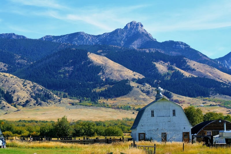
Bozeman
A mountain town growing fast enough to alarm its longtime residents but still with the Gallatin River running cold and clear through its canyon.
Explore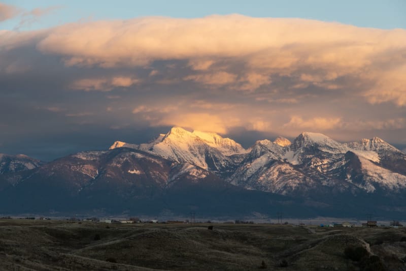 montana
Browning
The heart of Blackfeet Nation on the high plains east of Glacier, where the history most tourists miss begins to come into focus.
Explore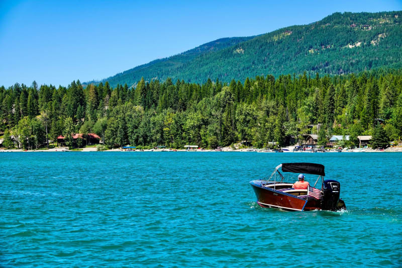 montana
Flathead Lake
The largest natural freshwater lake west of the Mississippi, cold and clear enough to read the bottom at thirty feet, ringed by cherry orchards and mountains.
Explore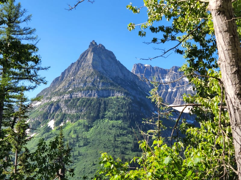 montana
Glacier National Park
Where the ice still clings to the rock and the road itself is an act of mountain engineering that makes you grip the wheel tighter.
Explore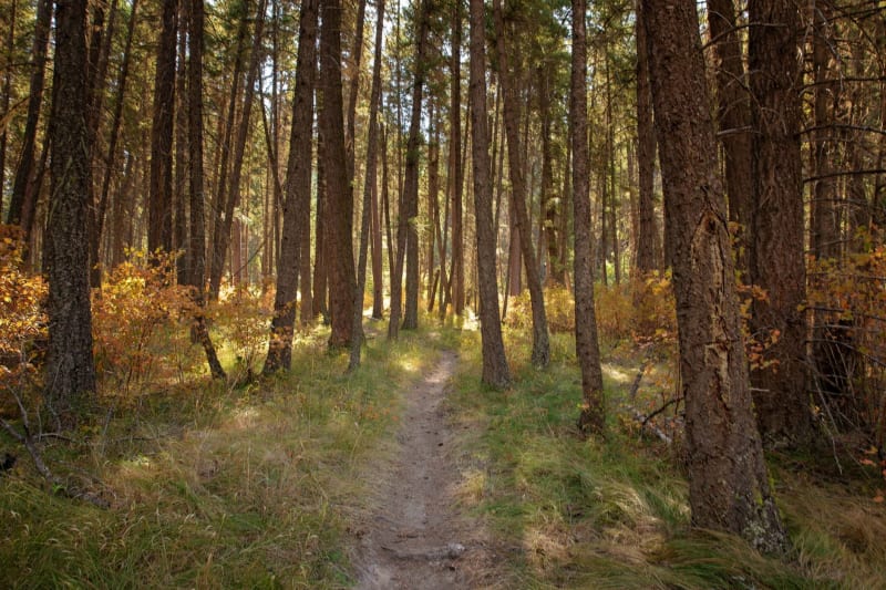 montana
Helena
A gold rush capital that became a state capital and never fully made up its mind between the two identities — and is more interesting for it.
Explore montana
Makoshika State Park
Montana's largest state park is a badlands of eroded ridges and dinosaur bones in the far east of the state, a landscape so unlike the mountains that most people forget it exists.
Explore