Choibalsan
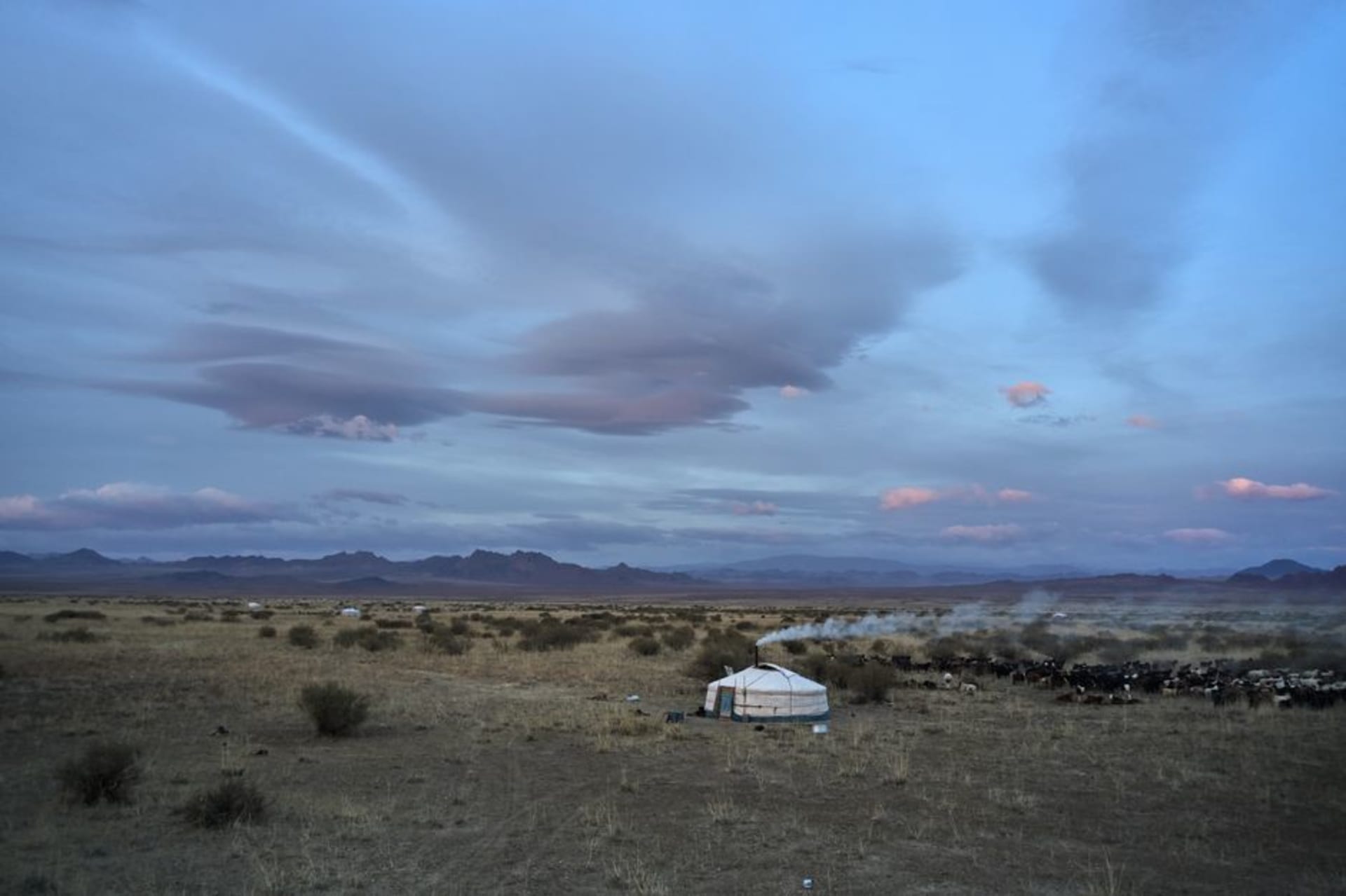
"I drove for two days across the flattest, emptiest grassland I've ever seen to reach a city named after a man most of the country would rather not name things after anymore."
A river town on the far eastern steppe, the biggest city almost nobody visits, where the Kherlen River curls past Soviet-era buildings and the grassland runs flat and empty toward Manchuria.
Choibalsan sits in Dornod province, in the far east of Mongolia, closer to the borders of both Russia and China than to Ulaanbaatar, and it remains one of the more genuinely obscure provincial capitals in the country despite being, by Mongolian standards, a reasonably substantial city. The name itself carries some awkwardness domestically — it commemorates Khorloogiin Choibalsan, the Soviet-backed strongman who led Mongolia through its harshest Stalinist-era purges, and while the city hasn’t been renamed, the association isn’t something locals bring up with any enthusiasm.
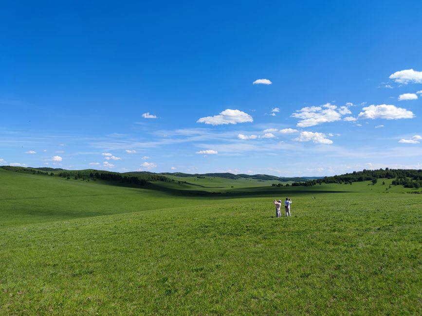
The drive to get there is its own experience: two full days across the flattest, most uninterrupted grassland I encountered anywhere in the country, the eastern Mongolian steppe running essentially featureless to the horizon in every direction, occasionally broken by a herd of gazelle moving in the strange synchronized ripple that Mongolian gazelle herds seem to manage instinctively, thousands of animals shifting direction as a single organism. This region holds some of the last great intact temperate grassland ecosystems on earth, largely because it has never been intensively farmed or fenced, and the sheer scale of unbroken grass took me longer to process than I expected — a kind of visual monotony that eventually tips over into something closer to awe.
The city itself sits on the Kherlen River, which continues on to eventually feed Lake Hulun in China, and the riverside area is genuinely pleasant — mature trees, a walking path used by locals in the evening, a modest but real green space that contrasts with the Soviet-era apartment blocks and wide, underused boulevards that make up most of the rest of the city’s built environment. Choibalsan was developed significantly during the Soviet period as a military and logistics hub, given its proximity to both borders, and that history remains visible in the scale of infrastructure — broad roads, a substantial rail connection, apartment blocks built for a population the city never quite grew into.
I spent an evening with a local schoolteacher, Tuya, who’d grown up in the city and talked candidly about the complicated feelings around its name and its history, describing a place that functioned almost as a garrison town for much of the twentieth century and was still, in her view, working out what its identity might be beyond that role. She took me to a small night market near the river where vendors sold grilled meat and fried dough to a mixed crowd of families and off-duty soldiers, a scene that felt distinctly different in energy from the more tourist-conscious towns further west.
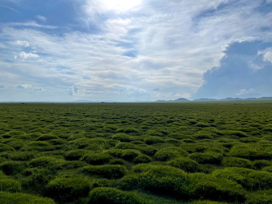
Choibalsan isn’t a place with an obvious sight to check off, and it demands two full days of driving each way to reach from the capital. But the scale of the grassland alone, and the genuine remoteness of a city this size, made it one of the more disorienting and memorable stretches of my entire time in Mongolia.
When to go: June through August for the gazelle migrations across the eastern steppe and the most comfortable driving conditions. This is a serious multi-day commitment best built into a dedicated eastern Mongolia itinerary.