Sonoyta
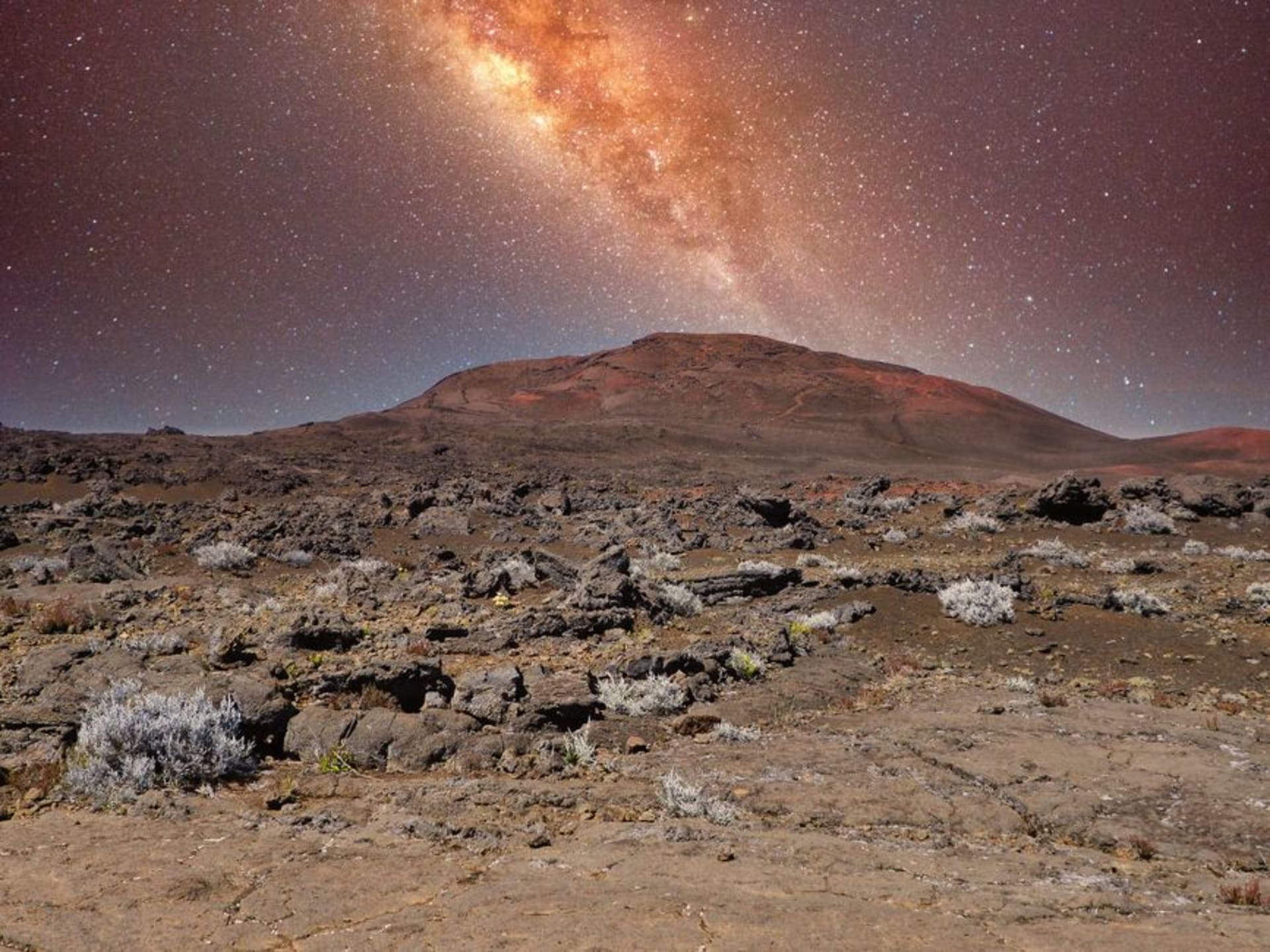
"You cross from a gas station and a Oxxo into a landscape that looks like the moon decided to go red. I kept expecting to see a rover."
I stopped in Sonoyta because I had to — the tank needed filling before the long push south through Sonora, and I figured I would grab a torta and move on. That was two years ago, and I still think about standing at the rim of El Elegante crater at six in the morning, the sky the color of a bruise turning yellow, not another person within ten kilometers of me. Sonoyta taught me not to judge a border town by its Pemex.
The Pinacate and What It Does to Your Sense of Scale
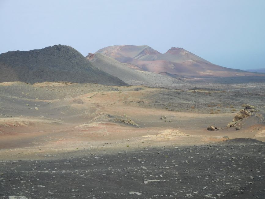
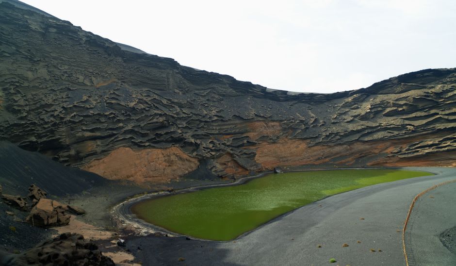
The Reserva de la Biosfera El Pinacate y Gran Desierto de Altar begins almost immediately south of town on Highway 8, and nothing about the drive prepares you for the moment the road lifts and the lava fields open up on either side. This is one of North America’s youngest volcanic landscapes — geologically speaking, it was active recently enough that the rock still looks freshly broken, all sharp obsidian edges and rust-colored cinders. The park contains ten large shield volcanoes and more than four hundred craters, the most dramatic of which is El Elegante: nearly a kilometer wide and three hundred meters deep, a perfect circular collapse that drops away without warning from the flat desert floor.
NASA chose this place in the late 1960s because the basalt fields and crater morphology so closely mimic the lunar surface. The astronauts practiced here with their equipment, and you can feel exactly why — it is disorienting in a way that good landscapes rarely are. The sense of scale keeps resetting. A boulder you thought was close turns out to be the size of a house and a hundred meters away.
The Town Itself, Which Is Exactly What It Is
Sonoyta proper is a working border crossing, and it does not pretend otherwise. The main drag along Avenida Internacional runs parallel to the fence, and the businesses are the ones you expect: farmacias, auto parts, a handful of mariscos places where the caldo de camarón is made properly thick and the shrimp come whole. I had breakfast at a small comedor two blocks east of the main crossing — eggs with machaca and flour tortillas the size of a dinner plate, the kind of meal that is entirely unremarkable and entirely right. The woman running it told me I was the first non-border-crosser she had served in a week. I believed her, and I did not think it was a problem.
Desert Light and When to Go
The Pinacate is brutal in summer — temperatures above 45°C are routine between June and September, and the park strongly discourages backcountry access. October through April is the window, with January and February offering the clearest skies and the most forgiving temperatures for hiking to the crater rims. Dawn is not optional; it is mandatory. The light on the cinders at first sun is the kind of thing that makes you want a better camera than you own.
Getting There
Sonoyta is on Highway 8, directly south of Lukeville, Arizona. From Puerto Peñasco it is roughly ninety kilometers northwest — an easy day trip or a natural stop on a longer Sonoran loop. The Pinacate park entrance is about twenty-five kilometers south of town on the same highway; the access road to El Elegante crater adds another fifteen minutes of unpaved track, manageable in a regular car.