Villa de Reyes
"He had been waiting, I think, for someone to ask about the hacienda. I asked. The tour was not on offer. It happened anyway."
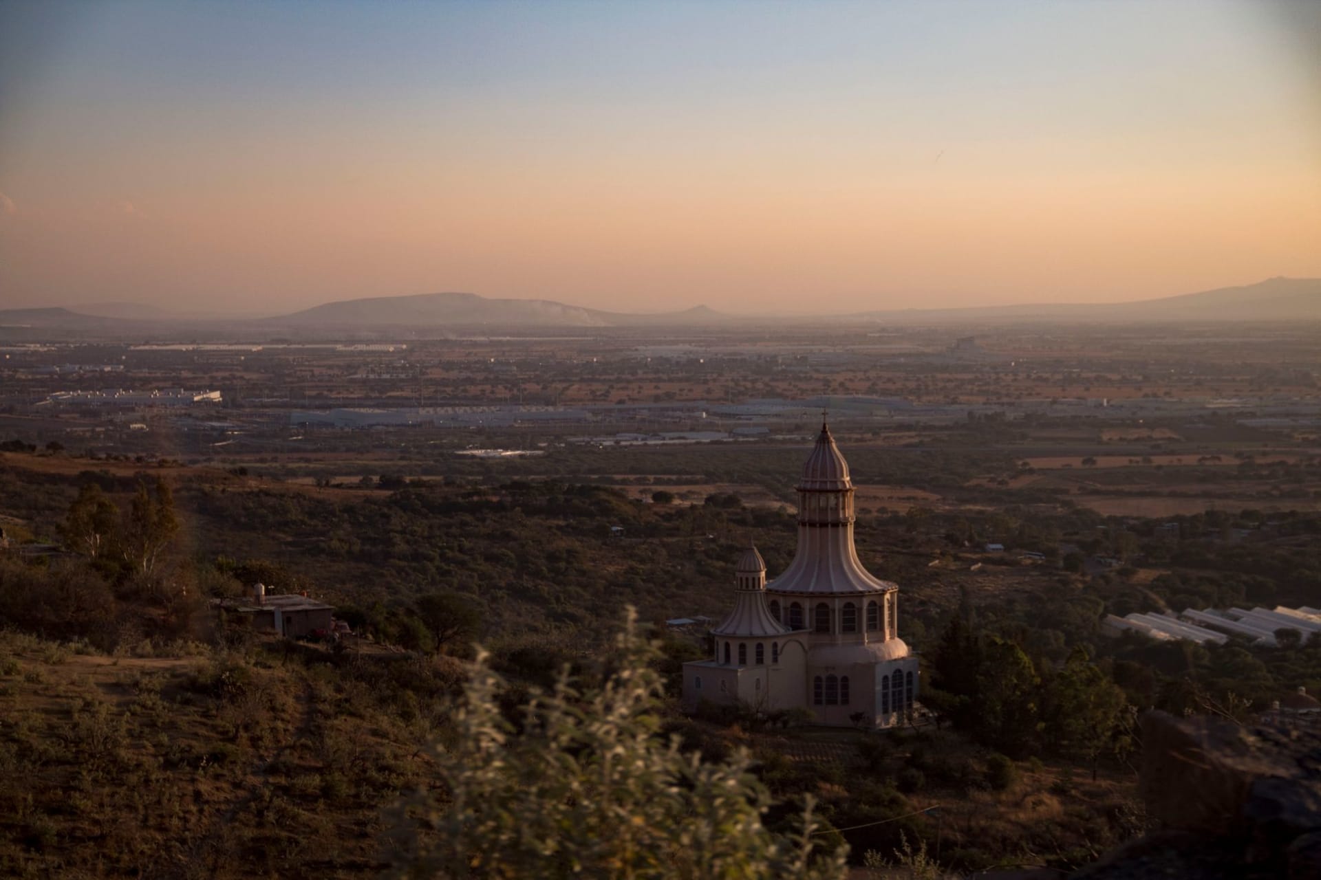
I went to Villa de Reyes because I had read that the Cañón del Infiernillo was accessible on foot from the town, and I wanted to see a limestone canyon. I saw the canyon, which is excellent — a narrow gorge in the hills east of town where the rock walls go from warm ochre to deep shadow as the day progresses — but the reason I am writing about Villa de Reyes is a hacienda whose name I was asked not to publish, and an afternoon that went in an entirely different direction than I had planned.
The municipio of Villa de Reyes contains several colonial haciendas, which is not unusual in this part of Mexico — the Bajío and the southern San Luis Potosí lowlands were wealthy agricultural territory from the colonial period onward, and the hacienda system left behind a particular built landscape of walled compounds, chapels, granaries, and water infrastructure. What is unusual in Villa de Reyes is how intact some of these haciendas remain. Not restored as resorts. Intact as working properties, some of them still in agricultural production under descendants of the original families or subsequent owners.
The Hacienda That Was Not a Tour
I had parked near the entrance to one of the smaller haciendas — not Hacienda Gogorrón, which is now a resort and very much open to visitors, but a smaller property on a side road — because I had seen the stone gateway from the road and wanted a photograph. There is a specific quality to colonial hacienda architecture that I find difficult to describe precisely: the proportions are not European and not indigenous, but something that emerged from the particular conditions of New Spain, a combination of practical need and the desire to project authority in a landscape that had no established architectural vocabulary for such projections.
I was taking photographs of the gateway when a man came out of the main house and asked, without particular suspicion, what I was doing. I explained I was a traveler interested in the architecture. He looked at me for a moment and then said he could show me around if I wanted, in a tone that suggested he had been waiting for someone to give him the opportunity.
His name was Rodrigo. He was in his sixties, a third-generation owner, and the hacienda had been in his family since the 1950s. The original colonial-era main house, the chapel, the granary, and parts of the estate walls dated from the eighteenth century, and the property was still producing agave — not the blue agave of tequila, but maguey, the broad-spectrum agave from which pulque is fermented and mezcal variants can be distilled, and which has been a part of the San Luis Potosí economy since before the Spanish arrived.

What I Learned About Agave
Rodrigo talked about agave the way people talk about things they have been thinking about for a long time without many people asking. The maguey on his property takes eight to twelve years to mature before it can be harvested, which means that planning agave production requires thinking in decades, not seasons. His grandfather had planted some of the plants that his workers would harvest this year.
The economics of agave production for pulque — the fermented agave sap that was the primary alcoholic drink of pre-Hispanic Mexico and remained important well into the twentieth century — had collapsed in the 1950s and 1960s as beer became cheap and widely available. Some of the large pulque haciendas in Hidalgo and Tlaxcala had been ruined by this. His family’s property had survived by diversifying into cattle and dryland grain crops and treating the agave as a secondary income source.
The mezcal revival of the last decade — the one that produced boutique mezcalería bars in every Mexican city and sent prices for certain traditional producers to levels that were frankly absurd — had made maguey relevant again in the broader San Luis Potosí region, though Rodrigo was not convinced it would last.
I asked him about the Cristero War, because I had noticed what appeared to be damage to the chapel facade that seemed inconsistent with ordinary weathering. He nodded. The hacienda had been occupied briefly in the late 1920s during the conflict between the Catholic resistance and the revolutionary government. The damage was from that period. The chapel’s interior had been stripped by one faction or another, he was not entirely clear which, and never fully restored.
The Canyon and the Transition Landscape
The Cañón del Infiernillo is a forty-minute drive from Villa de Reyes and accessible on foot from a rough track. The canyon itself is narrow and dramatic in the way that limestone canyons in the Mexican transition zones often are — the geology is the same system that produces the Sierra Gorda canyons to the south, and the vegetation at the rim is the desert scrub of the San Luis Potosí altiplano giving way to the subtropical dry forest that begins its presence in the Bajío.

This transition — from the spiny desert of the north to the more temperate agricultural land of the Bajío — is one of the things that makes the Villa de Reyes area geographically interesting. You can see it in twenty minutes of driving: the vegetation changes, the quality of the light changes, the character of the land changes. The haciendas were built in this zone partly because the combination of lowland warmth and access to highland water systems made it productive in ways that the pure altiplano was not.
I drove back to San Luis Potosí city in the late afternoon with a head full of the agave economy and the Cristero War and a particular quality of afternoon light over a stone gateway that I keep thinking about.