Mexcaltitán
"The streets flood in July. Residents paddle canoes between their houses. The festival of Saints Peter and Paul is conducted entirely on water. This is the closest thing to Tenochtitlán left."
Mexcaltitán is a circular island village in the coastal lagoons of Nayarit — a disc of land 350 meters in diameter, connected to the mainland only by boat, with concentric streets arranged around a central plaza and church in a plan that mirrors, in miniature, the grid of Tenochtitlán as the Spanish found it in 1519.
The resemblance is not coincidental, according to some historians. The Mexica (Aztec) migration legend describes a people who left their island home of Aztlán in the 12th century and wandered for two hundred years before founding Tenochtitlán in the middle of Lake Texcoco in 1325. The identifications of Aztlán’s location have been numerous and contradictory; Mexcaltitán’s circular island plan, its location in the marshy Nayarit lagoons, and several linguistic and archaeological details have produced a credible (if not universally accepted) claim that this was the original Aztlán.
The Island
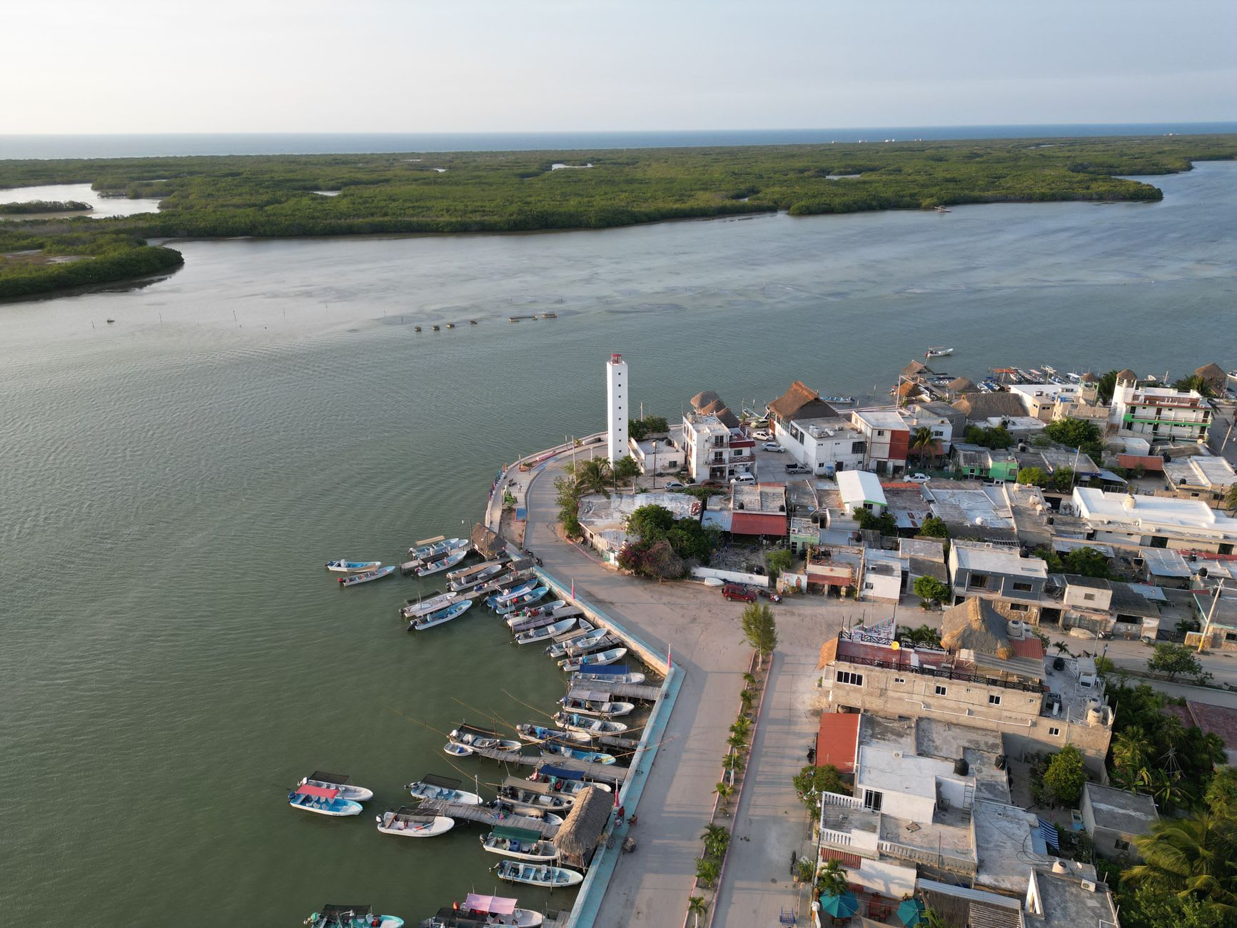
The physical experience of Mexcaltitán is immediate and specific: the boat from the mainland dock takes 10 minutes, and you arrive on an island where there are no cars (the streets are too narrow) and where, in the rainy season (June through September), the central streets fill with water to knee depth and the residents navigate by canoe.
The flooding is not a problem but a condition — the island has been flooded seasonally for as long as it has been inhabited, and the architecture, the social life, and the festivals are organized around it. The festival of San Pedro and San Pablo (June 29) is held simultaneously on water and on land: the images of the two saints are placed in decorated boats, and the fishing fleet — also decorated — processes through the flooded streets while the inhabitants watch from their doorways and second-floor windows.
Outside of flood season, the island is a normal fishing village of 1,000 people with a weekend market, a central square, a colonial church (the Templo de San Pedro y San Pablo, built in the 18th century on a foundation that predates it), and the specific social density of a circular community where everyone lives within 200 meters of the center.
The Lagoon and the Shrimp
The coastal lagoon surrounding Mexcaltitán — the Sistema Lagunar Marismas Nacionales, the same protected lagoon complex that extends to San Blas to the south — is one of Mexico’s most productive shrimp nurseries. The lagoon’s shallow, brackish water provides the juvenile shrimp habitat that supplies the Pacific shrimp industry, and the Mexcaltitán fishing community has organized its economy around this resource for generations.
The island’s characteristic food: camarones al mojo de ajo (shrimp in garlic butter), ceviche de camarón (shrimp ceviche with lime and tomato), and tostadas de camarón seco (dried shrimp on corn tostadas with avocado and salsa). The dried shrimp from the lagoon — smaller than the fresh, more intense in flavor, available in the market — is the best-traveled version of the product, making it to Mexico City and beyond in the bags of returning visitors.
The lagoon at dawn, from the dock on the island’s north side: herons standing in the shallow water, the mangrove forest in silhouette, the fishing boats leaving before light for the day’s work. The specific quality of a productive estuary in the early morning — birds, boats, the smell of salt and organic matter — is the best part of staying on the island overnight.
The Aztlán Museum
The Museo del Origen on the main plaza presents the Aztlán identification argument in full — the archaeological and linguistic evidence, the migration route maps, and the comparison between Mexcaltitán’s circular plan and the reconstructed plan of Tenochtitlán. The argument is presented as a possibility rather than an established fact, which is the correct register: the evidence is suggestive and the location is evocative, but the definitive identification of Aztlán remains one of Mexican archaeology’s open questions.
Getting there: Buses from Tepic (2h) or from San Blas (1h via Santiago Ixcuintla) to the embarcadero at La Batanga. Boats from La Batanga to the island run on demand (10 minutes). The island has two small posadas for overnight stays; most visitors day-trip from San Blas or Tepic.
When to go: June-September for the flood season and the waterborne festivals (arrive prepared for humidity and mosquitoes). October-May for easier access and dry streets. June 29 for the Saints Peter and Paul waterborne procession.