
La Rumorosa
"I pulled over because my brain couldn't parse what it was seeing — boulders balanced on boulders, a sky too blue for a highway, and a cold I hadn't packed for."
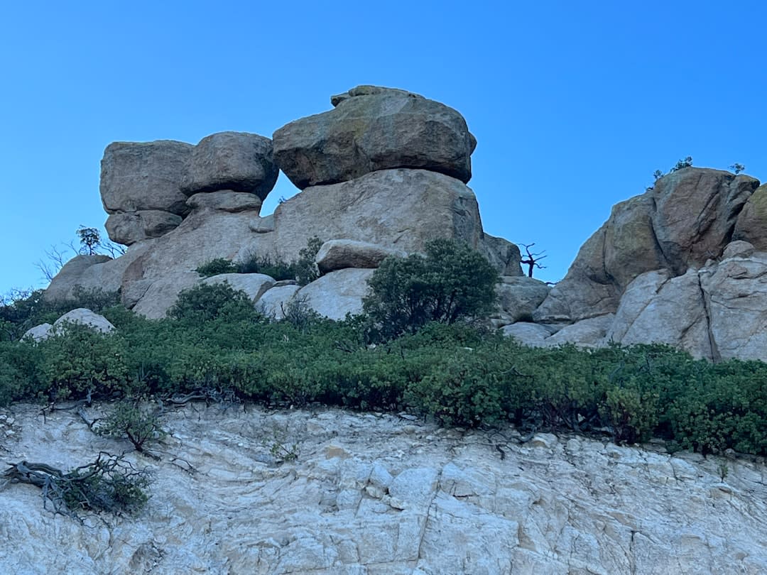
I was heading east toward Mexicali on a Tuesday in February, the kind of morning where the Tijuana traffic finally loosens its grip past La Mesa and you start to believe the drive might be pleasant. Then the road climbs and the chaparral drops away and something impossible appears on both sides of the highway: boulders the size of four-storey buildings, stacked and balanced in formations so deliberate they look staged. I pulled over at a dirt shoulder near kilometer 47. A truck hauling something industrial blew past and rocked my car. I had not packed a jacket.
What Geology Left Behind
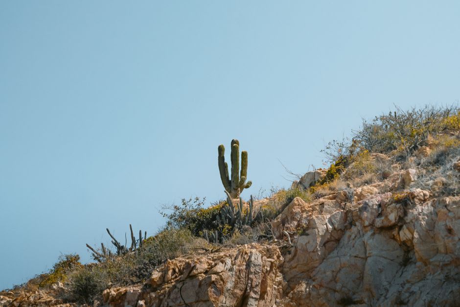
The Sierra Juárez gets credit for the mountain, but the boulders are the story. These are Mesozoic granite formations, cracked and rounded by millions of years of thermal expansion and erosion, then repositioned by subsequent tectonic movement into configurations that look like a child’s work at a scale a child couldn’t reach. From the highway they read as backdrop. Once you step off the asphalt and walk into them, the scale recalibrates completely. You are standing in a canyon of stone where the light does specific things — amber at dawn from the Mexicali side, flat white by noon, then that late-afternoon gold that makes every surface look as though it has been varnished.
The wind at this pass earns the place its name: la rumorosa, the murmuring one. It does not stop. It comes from the northwest, funneled by the topography, and at certain hours it carries a low register you feel more than hear. I spent an hour scrambling over the lower formations with a thermos of coffee that went cold in twenty minutes, and I was not annoyed about it. The cold felt like part of the point.
The Town in the Lee of All That Drama
There is a small community called La Rumorosa that exists in the shelter of all this geology — a cluster of houses, a weekend tianguis, a handful of fondas running on what feels like a mining-camp schedule. I stopped at one with nothing visible from the road except a hand-lettered sign that said COMIDA. The woman running it was making birria de chivo, and the broth had that depth you get when someone has been cooking since before you arrived in the country. There was also a tray of tamales de rajas on the counter, wrapped in corn husks still steaming from the pot.
I ate standing up because the two tables were occupied by men in work boots who had the look of people for whom this fonda is simply lunch, not a discovery. The altitude makes everything taste sharper than it should, or maybe that is just the cold air forcing your attention.
Taking the Right Road
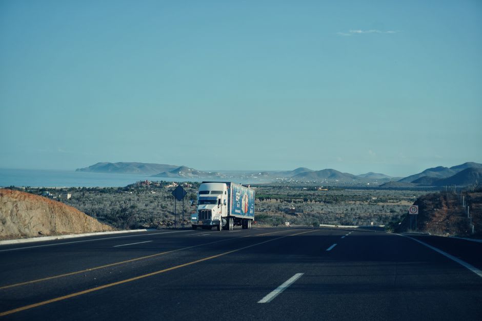
The practical reality of La Rumorosa is that most people don’t stop. They are on their way somewhere — the maquiladoras of Mexicali, the border crossings of Tijuana, the ferry at Ensenada. The highway 2D tollway bypasses the most dramatic formations entirely. You want the libre, the old free road, which switchbacks through the pass and puts you close enough to the rock faces to read the lichen on them.
Come in the morning if you can manage it. The eastern light hits the western faces of the boulders with a warmth the afternoon doesn’t replicate. Bring a real jacket even in April. The truck traffic will make the shoulder feel precarious; it isn’t. There is room to park, and what you will see once you are standing still is worth the twenty minutes it costs your schedule.
Getting There
La Rumorosa sits on Federal Highway 2, about 90 kilometres east of Tijuana and 50 kilometres west of Mexicali. From Tijuana allow 90 minutes; from Mexicali, 45. Take the libre rather than the toll road — it is slower and the reason you are here. There is no public transport that stops reliably at the pass. Best visited October through April; summer heat is manageable at elevation but the descent toward Mexicali can flood during August storms.