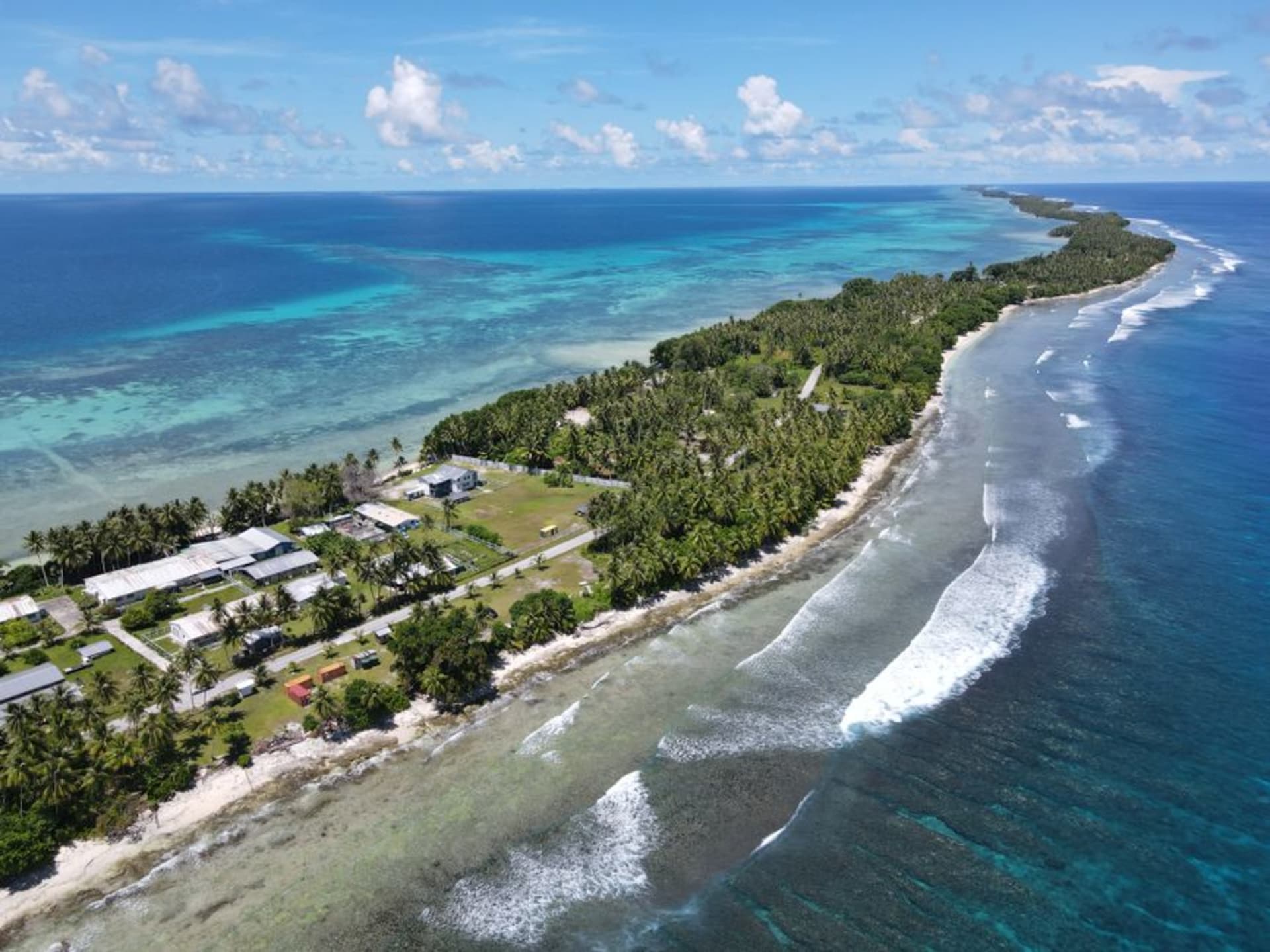
Enewetak Atoll
"Nobody asked the ocean whether it agreed to hold this, and the dome is already cracking."
A concrete dome the size of a football stadium sits over 111,000 cubic meters of American nuclear waste, and the lagoon around it is some of the clearest water I've ever swum in.
Enewetak is not an easy place to visit, and I want to say clearly at the outset that I don’t think it should be treated as a curiosity. Between 1948 and 1958 the United States detonated 43 nuclear devices on and around this atoll, including the first full-scale hydrogen bomb test, Ivy Mike, which vaporized an entire islet named Elugelab. The islanders were relocated for the testing program and only allowed to return, to a partially decontaminated home, decades later. What remains on Runit Island today is the Cactus Dome, known locally and in most reporting as Runit Dome — a concrete cap poured over a crater filled with contaminated soil and debris, sitting a few feet above sea level on an atoll that rising seas are already reaching.
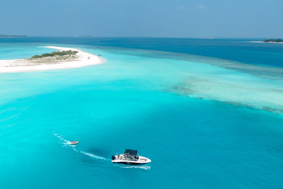
I went with a Marshallese contact whose family had been part of the original relocation, and he was blunt about what he wanted me to understand: this isn’t a museum, it’s an unresolved situation. The dome is cracking. Studies have found contamination in the lagoon sediment around it that predates and exceeds what leaches from the dome itself, meaning the containment structure may be almost beside the point. We stood on the beach near Runit at a respectful distance — there’s no barrier stopping you from walking onto the dome itself, which felt like exactly the wrong thing to do, so I didn’t. The scale of the thing, low and grey and enormous against the lagoon, said more than any explanation could.
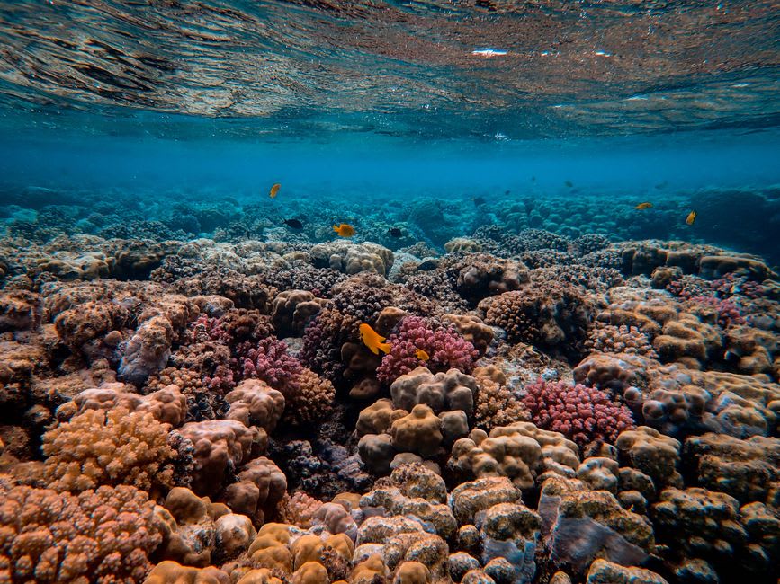
What makes Enewetak almost unbearably strange is that the rest of the atoll, away from Runit, is stunning in the most ordinary sense of the word — a huge lagoon, some of the healthiest reef structure I encountered anywhere in the Marshalls precisely because so few people ever dive it, and a small, resilient community on Enewetak Island itself that has rebuilt a genuinely warm daily life on top of one of the most damaged pieces of ground on the planet. I ate reef fish grilled by a family who’d farmed the same small taro patch for three generations, on soil their grandparents had to test before they’d let their kids play in it.
When to go: Enewetak is reached by infrequent flights from Majuro via Kwajalein, and travel requires advance coordination with the Marshall Islands Visitors Authority. Go with a local contact, go respectfully, and understand this is a place people live in, not a site to tour.