Gaflei
"At this altitude, the country below you stops feeling small and starts feeling perfectly sized."
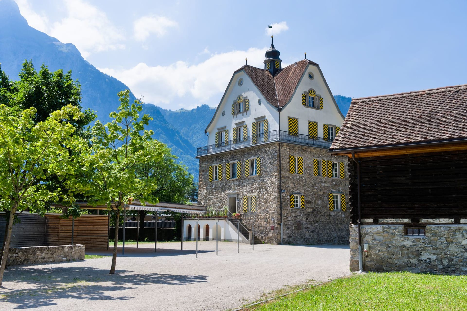
The road up to Gaflei passes through Triesenberg and keeps climbing. The hairpins get tighter. The trees thin and then give way to open alpine meadow. At 1,483 meters, the hamlet appears — a hotel, a few farmhouses, a small chapel, and views in every direction that rearrange your sense of where you are. To the west, the Rhine valley and Switzerland. To the north, Austria beginning. Below, the entire length of Liechtenstein is visible on a clear day, from the Ruggell marshes in the north to the Gutenberg Castle hill at Balzers in the south.
I came up in August with a walking plan and an early start, and the quality of the air at this altitude stopped me at the car door. Cold, clean, smelling of pine resin and something damp from the night’s dew. The kind of air that makes you take a breath and then consciously take another. Below in Vaduz it had been warm and a little heavy. Up here it was another climate entirely, and the light was still low and golden and cutting sideways across the meadow in a way that made the wet grass sparkle.

The Fürstensteig is the trail that starts from Gaflei and has made this hamlet known to serious walkers. It is a ridge trail, classified as alpine — meaning cables are bolted into the rock at the exposed sections, and you need both hands and a good head for exposure to complete it. I am not a technical climber but I am comfortable on steep terrain with cables, and the Fürstensteig was exactly at the edge of my abilities: not terrifying, but genuinely demanding, with drops below the exposed sections that remind you that altitude is not theoretical. The views from the ridge are among the finest in the Alps for the effort required — four countries, three valleys, and on the clearest days the specific sparkle of Lake Constance to the north.
The return route brought me back through the high meadows above Gaflei where the cows had been moved up from the valley and were grazing in that slow, total way that high-altitude cattle have, as if nothing else exists. Cowbells at intervals I couldn’t predict. The smell of warm grass and something sweet — wild thyme, I thought, rubbing a stem between my fingers to check. It was thyme.

Back at the hamlet’s small hotel, I ate on the terrace with my boots off and my feet in the grass. The menu was mountain-simple: soup, bread, a plate of cold cuts with the strong alpine cheese they cure at higher elevations. I drank a glass of local apple juice that tasted like a concentrated autumn. At the next table, a Swiss couple were planning their descent with a topographic map spread between their coffee cups, arguing quietly about which path added the least elevation gain. I listened without interfering and felt the particular pleasure of exhaustion that comes only from actual physical effort in good air.
When to go: July and August for the Fürstensteig and high ridge walks — snow can linger on the exposed sections into June and return in September. The hotel at Gaflei stays open through October for those wanting the autumn light on the valley below. Do not attempt the Fürstensteig in poor visibility or after rain — the trail is equipped with cables but the rock becomes genuinely slippery and the exposure is real.