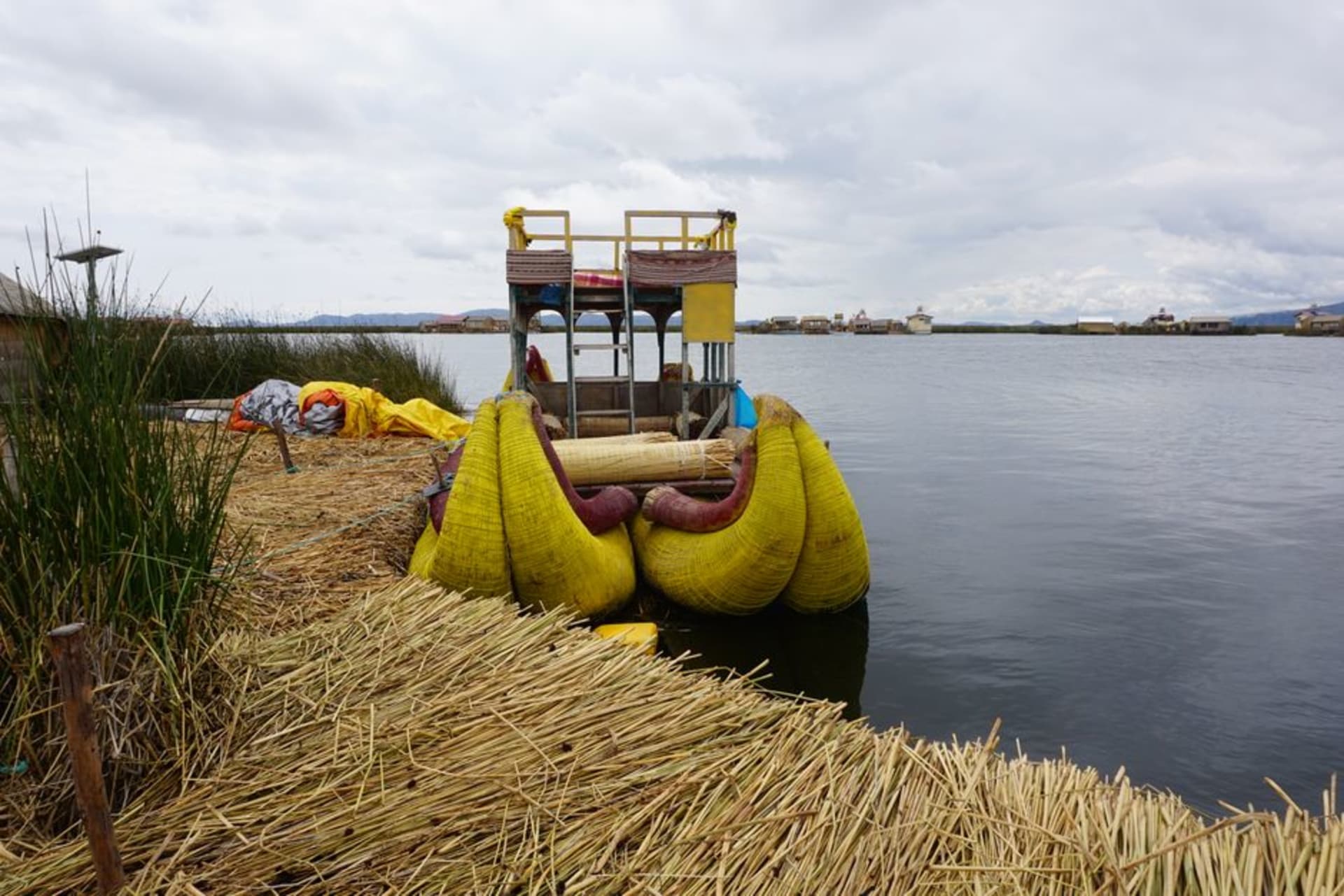
Ramis
"Nobody at the market stall selling fried kingfish seemed remotely surprised to see us, and nobody seemed to care either, which was oddly refreshing."
A working river-mouth town on Titicaca's northern shore where the Ramis River meets the lake, far removed from any tourist circuit.

I’ll be honest: we ended up in Ramis for a fairly unglamorous reason — we were driving the northern route around the lake from Juliaca toward Huancané and needed lunch, and the town happened to be there. It’s not on anyone’s Titicaca itinerary, and after a day there I understood why and also felt a little sorry for that fact, because it’s a real, working place in a way that a lot of the more photogenic lake towns aren’t anymore.
Ramis sits where the Ramis River, which drains a huge chunk of the Peruvian altiplano, finally empties into the northern reaches of the lake. The town itself is unassuming — dusty streets, brick and adobe buildings, a market that smelled of fried fish and diesel in about equal measure — but the river mouth itself, a sprawl of reed beds and channels opening into the lake, is genuinely striking once you get down to the water. It’s also, I later learned, a site of small-scale and sometimes contentious gold mining upriver, which explains a tension I half-sensed but couldn’t place at the time; the river’s ecology has taken a beating from it over the years.

We walked down to where fishermen were unloading small boats, hauling in what looked like carachi and pejerrey, and one guy let us watch him mend a net for a few minutes without asking for anything in return, which felt like a small kindness in a place that clearly doesn’t see many outsiders stopping to look. Lia struck up a conversation with a woman selling boiled potatoes and cheese from a cart, and we ended up eating lunch standing right there on the riverbank rather than at any restaurant, which honestly might have been the best meal of that whole stretch of the trip.

I won’t oversell Ramis — there’s no lodge, no curated experience, nothing built for visitors at all. But if you’re the kind of traveler who likes seeing a place before anyone’s decided to package it, and you’re already driving this stretch of shoreline, it’s worth the twenty-minute detour down to the water. It reminded me that Titicaca is a working lake for a lot more people than the ones who show up in postcards.
When to go: The dry season, May to September, keeps the access roads passable and the river mouth calmer; this isn’t a place to plan around weather so much as around already being nearby.
Keep exploring
More from Lake Titicaca
 lake-titicaca
Sillustani
Pre-Inca funeral towers rising from a peninsula above a smaller lake, where the Colla buried their dead in cylinders of stone taller than the sky needed them to be.
Explore lake-titicaca
Suasi Island
A privately owned island on Titicaca's remote Peruvian shore, run as a solar-powered eco-lodge with no cars, no noise, just wind and stone.
Explore lake-titicaca
Taquile Island
A car-free island where the men knit as they walk and the trout comes straight from the lake to your plate.
Explore lake-titicaca
Tiquina Strait
A narrow channel between San Pedro and San Pablo de Tiquina where wooden barges ferry cars and buses across Lake Titicaca one at a time.
Explore lake-titicaca
Uros Floating Islands
A community still living on islands they weave by hand from totora reeds, defying both physics and the modern world.
Explore lake-titicaca
Amantaní Island
The island that reveals itself only after dark, when the sky opens above 4,000 metres and the stars are too many to be comfortable.
Explore