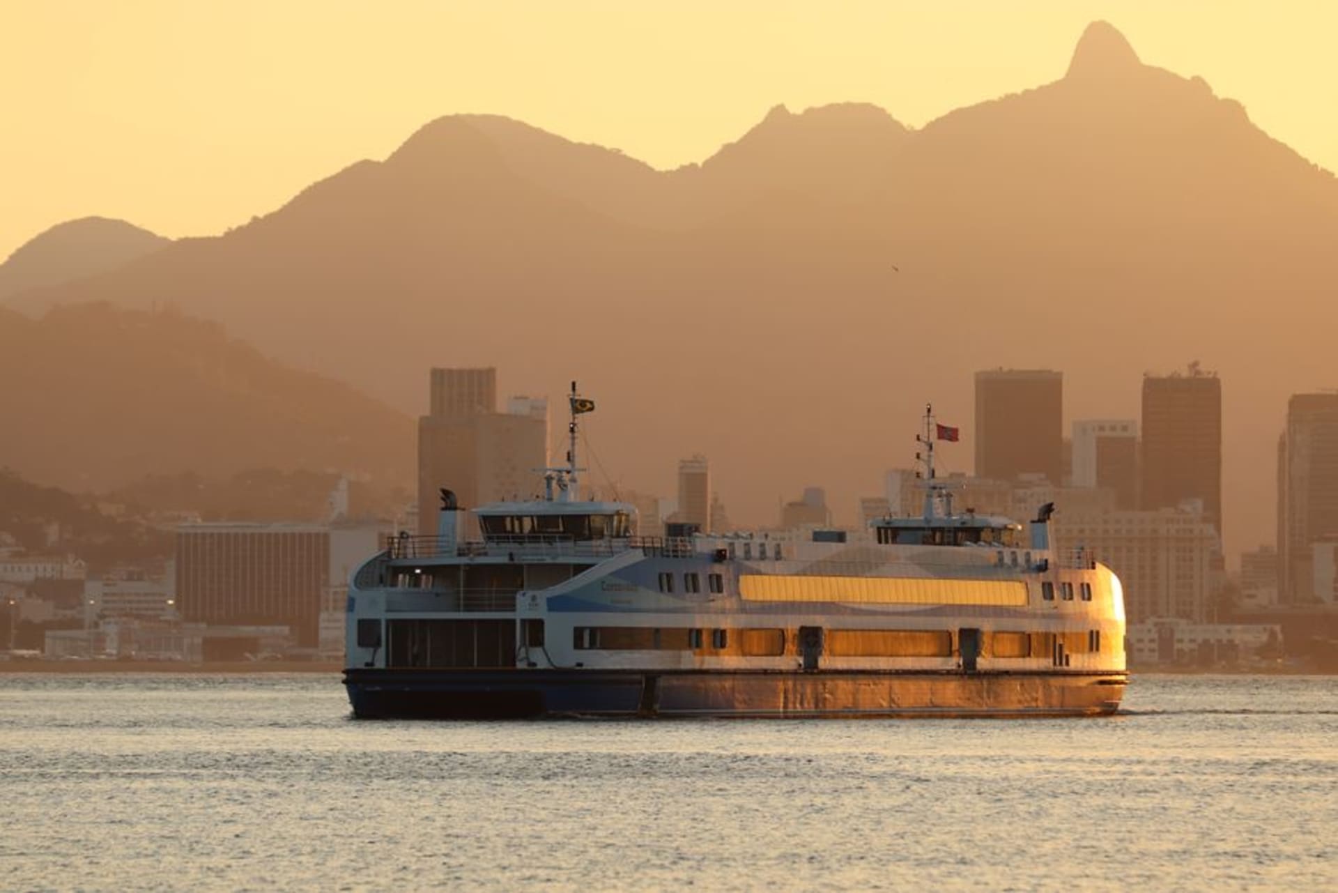
Tiquina Strait
"I stood on the passenger launch watching our own bus wobble across the strait on a plank barge and genuinely wondered if I'd see my backpack again."
A narrow channel between San Pedro and San Pablo de Tiquina where wooden barges ferry cars and buses across Lake Titicaca one at a time.

Everyone who’s done the road trip between La Paz and Copacabana has a Tiquina story, and now I have mine. The strait itself is barely a kilometer wide, this pinch point between the main body of Titicaca and the smaller Lago Menor, separating San Pedro de Tiquina on one shore from San Pablo de Tiquina on the other. There’s no bridge — there’s been talk of one for decades — so every single vehicle crossing between La Paz and the Copacabana peninsula has to go by ferry, which in practice means a flat wooden barge that looks like it was built for something much smaller than a full-size bus.
Our driver told us to get out and take a separate passenger launch across while the bus went on its own barge, and I understood why the moment I saw the setup. These barges are motorized planks, essentially, with the vehicle’s wheels balanced along wooden planks laid across pontoons, and they sit low enough in the water that a rough gust could, in theory, be a problem. I’ve since read that a bus did sink here years back, and while it’s apparently rare, I was glad we’d been told to walk.
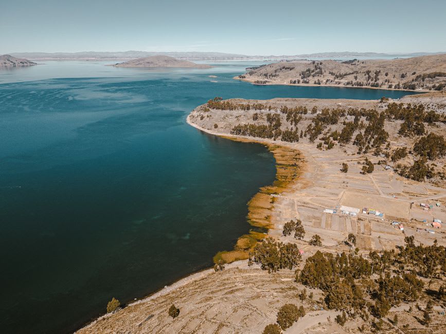
The crossing itself takes maybe ten to fifteen minutes, and honestly it’s a highlight rather than an inconvenience. The water is a deep, almost navy blue in that channel, the hills on both sides come down steep and green-brown, and there’s a genuine little economy built around the wait — women selling salteñas and fried fish from carts near the dock, kids weaving between cars with bags of chifles. Lia bought us both cups of coffee from a thermos a woman was carrying around, and we drank them standing at the rail of the passenger boat watching our bus creep across on its own barge a few hundred meters away.

What struck me most was how normal this all is to everyone but the tourists. Bolivian navy boats patrol nearby — this stretch of water matters to Bolivia’s landlocked identity in a way that’s oddly moving once you know the history — and the barge operators do this crossing dozens of times a day without a second thought. For us it was ten minutes of low-grade adrenaline and a genuinely beautiful stretch of water; for them it’s just Tuesday.
When to go: Any time of year works, since it’s a functional crossing rather than a scenic stop, but mornings tend to have calmer water and shorter queues than the midday rush of tour buses heading to Copacabana.
Keep exploring
More from Lake Titicaca
 lake-titicaca
Uros Floating Islands
A community still living on islands they weave by hand from totora reeds, defying both physics and the modern world.
Explore lake-titicaca
Amantaní Island
The island that reveals itself only after dark, when the sky opens above 4,000 metres and the stars are too many to be comfortable.
Explore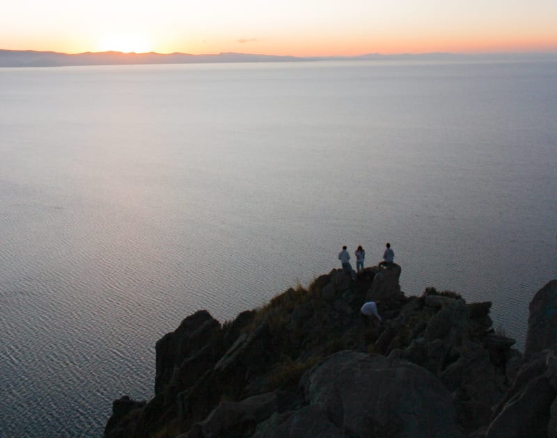 lake-titicaca
Anapia Island
A Bolivian island almost nobody goes to, sitting in the southern arm of the lake where the water is calmer and the view of the Cordillera Real is complete.
Explore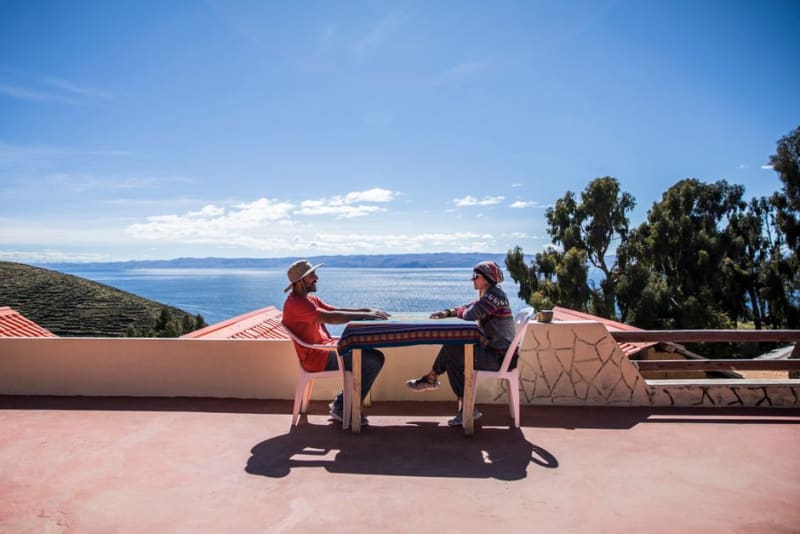 lake-titicaca
Capachica Peninsula
A rural finger of land jutting into Lake Titicaca where family homestays and quiet bays replace the crowds of Puno's main harbor.
Explore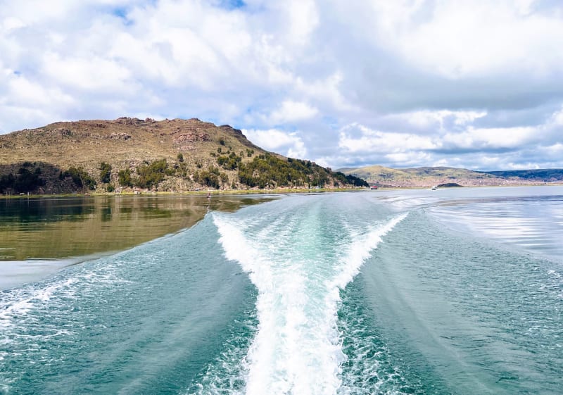 lake-titicaca
Chucuito
A colonial town eighteen kilometres from Puno where Inca stonework and Spanish architecture share the same hillside without resolving their differences.
Explore lake-titicaca
Copacabana
Bolivia's lakeside pilgrimage town where cars queue for blessings and the cathedral holds more devotion per square metre than almost anywhere I've been.
Explore