
Hornopirén
"Hornopirén is where the map stops being a road and starts being a plan."
The small fjord town where the paved road quietly gives up and the ferry-hopping adventure of the Carretera Austral genuinely begins.

I reached Hornopirén at the end of a long day’s drive south from Puerto Montt, the pavement thinning out and the landscape turning wilder with every kilometre — dense temperate forest crowding the road, fjord inlets appearing suddenly around bends, the traffic thinning to almost nothing. The town itself is unpretentious: a fishing port on a narrow arm of sea, wooden houses painted in the faded primary colors typical of Chiloé and the northern Patagonian coast, a smell of salt and woodsmoke that told me I’d crossed some invisible line into a different, harder kind of south.
What makes Hornopirén matter is what comes next. This is where the Carretera Austral, Chile’s famous and famously incomplete southern highway, breaks for the first of its ferry crossings — a boat across the Reloncaví fjord to Caleta Gonzalo, through water so still on the morning I crossed that the ferry seemed to be gliding on glass, dolphins occasionally breaking the surface alongside us. I stood on the open deck for the entire ninety minutes, unwilling to go inside even as the wind picked up, watching the fjord walls close in and the first glimpses of the Pumalín park’s rainforest appear ahead.

Before boarding, I spent a day in the national park just behind the town, hiking up through dense forest toward views of Volcán Hornopirén and its neighbor, the aptly named Volcán Apagado — “Extinguished Volcano” — its crater now filled with a small lake I reached after a scramble through moss-heavy old growth that felt untouched in a way that’s increasingly rare even in southern Chile. I didn’t see another hiker all day, just the sound of my own boots and, once, a pudú deer freezing mid-step in the undergrowth before bolting.

When to go: December through February for the most reliable ferry schedules and clear crossing weather. Book the Carretera Austral ferries ahead in high season — they fill up, and missing one means an extra day in a town you’ll enjoy but probably won’t need two days for.
Keep exploring
More from Chilean Lake District
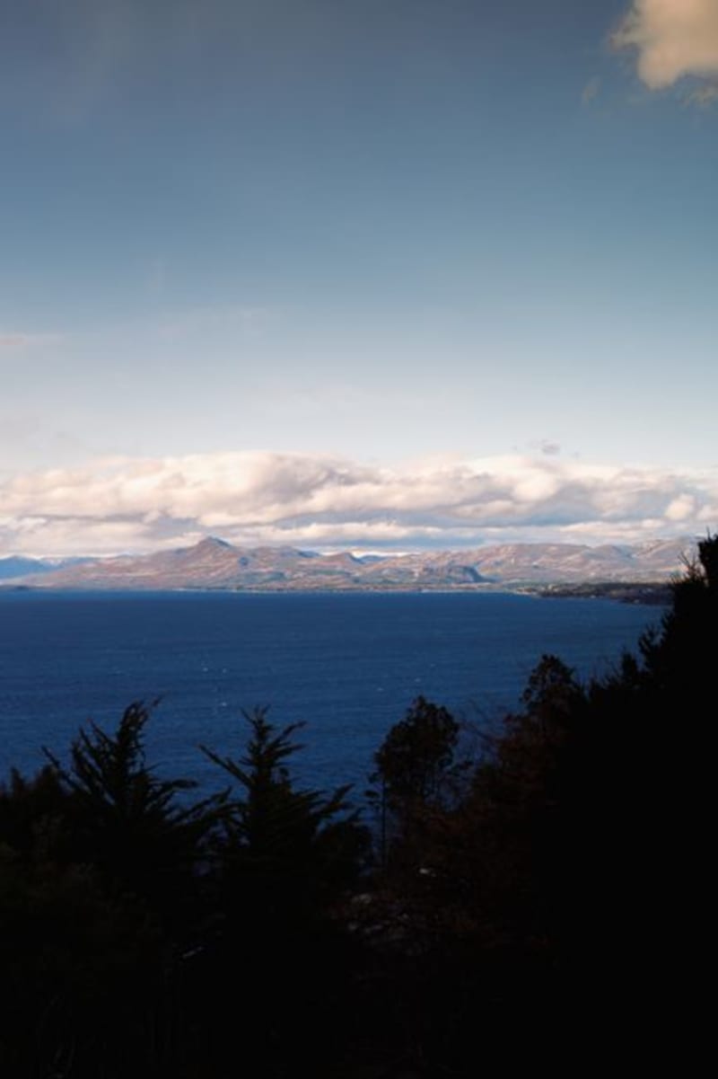 lake-district-chile
 Isla Huapi
A Mapuche-Williche island in the middle of Lago Ranco reachable only by barge, where rural life continues largely untouched by the mainland's tourism.
Explore lake-district-chile
 Isla Tenglo
A five-minute boat ride from Puerto Montt to an island that still runs on fishing, curanto, and a view of the city that makes you forget it's the city.
Explore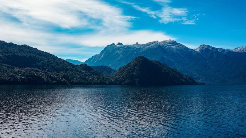 lake-district-chile
 Lago Calafquén
Volcanic black sand beaches and thermal springs fringe this lesser-known lake south of Villarrica, where Chilean families holiday and foreign travelers rarely follow.
Explore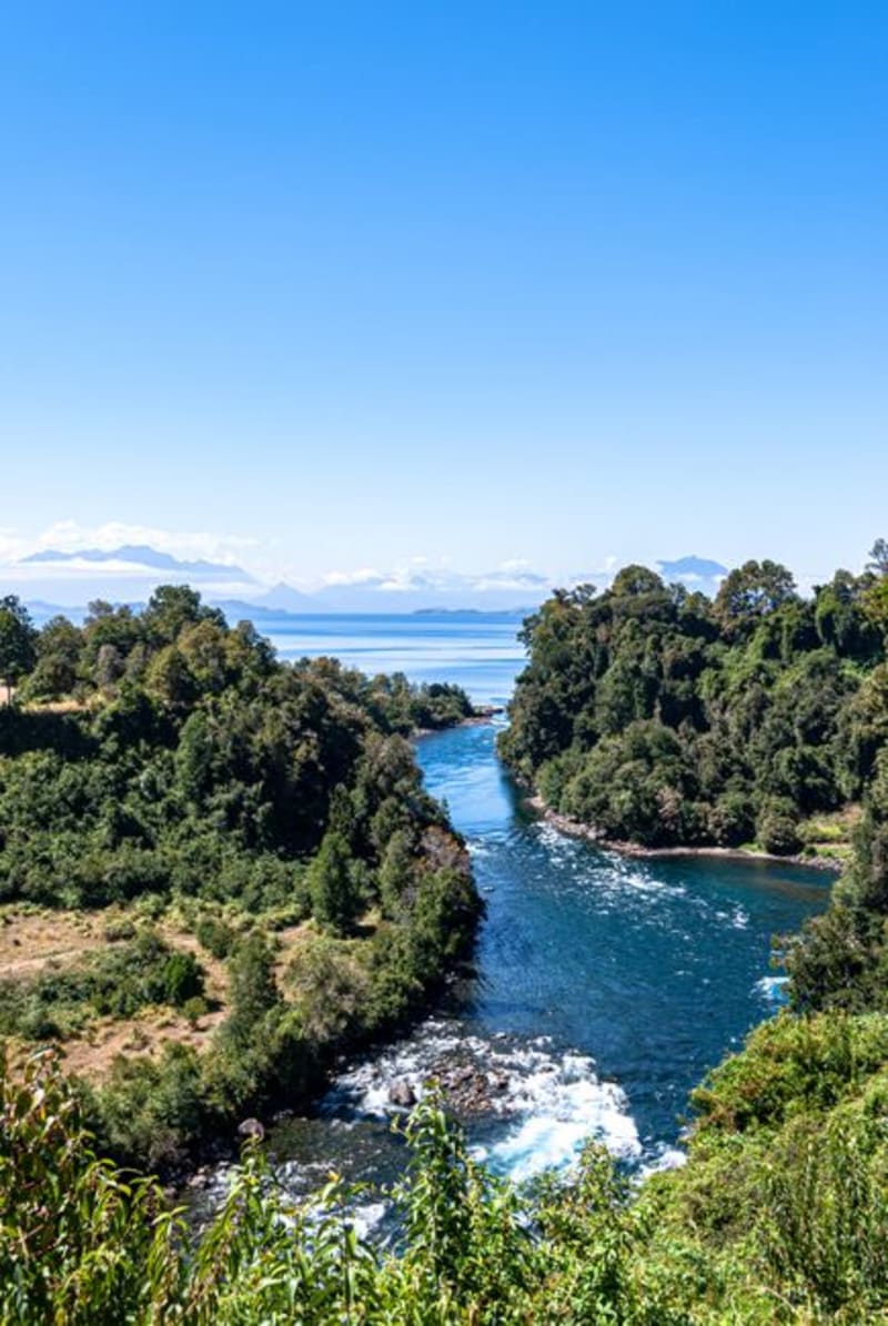 lake-district-chile
 Lago Ranco
A vast, sparsely visited lake south of Valdivia where fishing villages still outnumber hotels and the water changes color with every hour of light.
Explore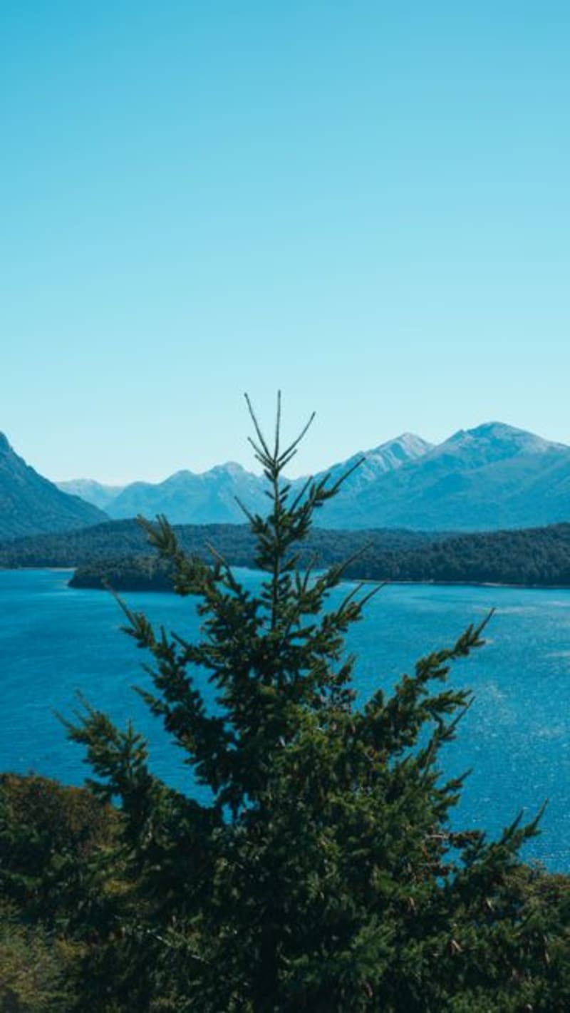 lake-district-chile
 Lago Rupanco
The lake south of Puyehue that almost nobody stops for, with wild shorelines, thermal springs of its own, and a silence that Llanquihue lost years ago.
Explore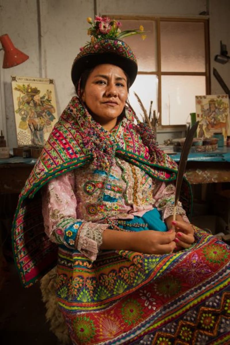 lake-district-chile
 Panguipulli
A lakeside town so devoted to its roses that the streets bloom pink and red every summer, with a Swiss-looking church tower watching over the water.
Explore