
Nubra Valley
"The camels, the dunes, the glaciers behind them — everything about Nubra seemed to insist it was somewhere else entirely."
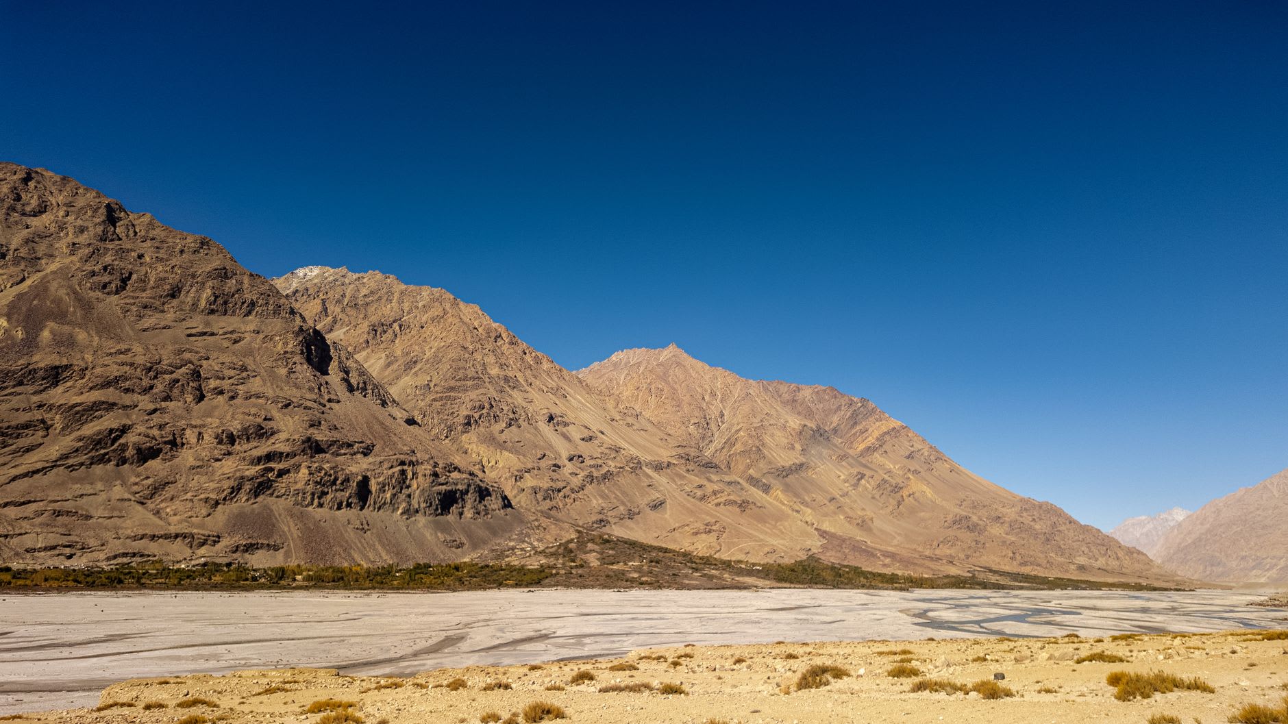
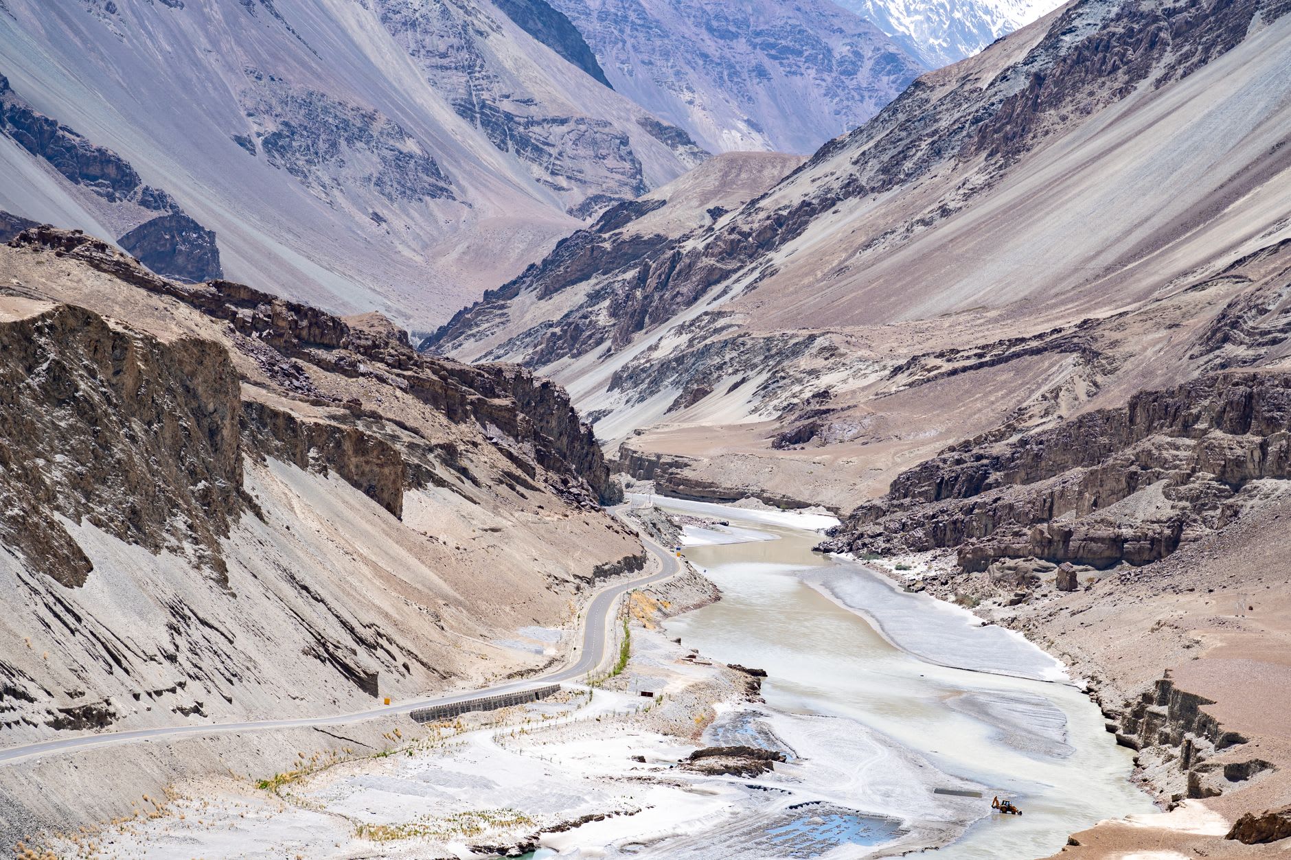
The road to Nubra Valley crosses the Khardung La at 5,359 metres — the sign claims it is the world’s highest motorable pass, which is disputed but feels true when you step out of the jeep and the cold hits you like a door slammed in your face. From up there you can see in both directions: the brown ridges of the Indus Valley to the south, and north, a different world beginning to appear — greener, wider, more open, as if the mountains have decided to relax slightly and allow a river valley to exist between them. The descent takes an hour and a half and ends in Diskit, where the trees are tall and the air, by the standards of Ladakh, feels practically tropical.
What Nubra does to you is make you question your geography. I had expected mountains, monasteries, the usual Ladakhi severity. What I found instead was a river basin wide enough to hold orchards in full apricot bloom, villages of stone and mud-brick shaded by willows, and then, at a bend in the road near Hunder, something that stopped the jeep entirely: sand dunes. Large, pale, genuinely Saharan-looking sand dunes rising from the valley floor, and in the foreground, moving through them with their characteristic rocking gait, a pair of Bactrian camels. The Shyok and Nubra rivers carry glacial silt that has piled up over millennia into these formations. The camels — double-humped, descended from the Silk Road trade — were introduced in the 19th century and have simply stayed.
I rode one of the camels in the early morning, when the dunes were still in shadow and the air was cold enough to see your breath. The animal moved with a kind of deliberate gravity, as if considering each step, and from its back the valley opened in a way it doesn’t from the ground: the green patchwork of the Hunder orchards to the west, the Karakoram peaks to the north catching the first full light, and to the east the faint outlines of what I knew were military positions near the Pakistani border. Nubra’s remoteness is not just geographical. It is a valley the world has repeatedly tried to claim and never quite managed to keep.
The apricot harvest was just beginning when I arrived in late June, and the orchards of Sumur and Tegar were heavy with fruit. Local women were picking them from ladders, their baskets filling quickly, and the air in the lanes between the trees had a sweetness that mixed with the woodsmoke from morning fires. I bought a kilo from a woman outside her gate for almost nothing and ate them sitting on a wall, looking at the monastery on the ridge above — small, white, perfectly placed — while a dog slept in the dust nearby and nothing else moved. It is the kind of moment you can only have if you stay long enough to stop being a tourist and start being simply present.
The road further north toward Turtuk, near the Pakistani border, passes through villages where the houses grow tighter and the walnut trees older, and the sense of being at the edge of something known strengthens with every kilometre. Most people turn back at Hunder. The ones who don’t find a valley that has been quietly going about its business since before any border existed.
When to go: Late June through August is the sweet spot — the apricots are ripe in June, the weather is stable in July and August, and the Khardung La is reliably open. A permit is required and best arranged in Leh the day before. September works too, with emptier roads and cooler nights.