South Tarawa
"The causeway between Betio and Bairiki is the one road that connects everything — and it floods."
The road into South Tarawa from the airport is not so much a road as an argument the land makes with the ocean. You drive along a narrow strip of reclaimed coral and sand with the Pacific lagoon pressing in from one side and the open ocean from the other, and the land keeps insisting it has a right to be here even when the evidence is mixed. I arrived at dusk, and the light was doing something extraordinary — turning the lagoon a shade of pink that felt almost aggressive in its beauty, completely at odds with the corrugated iron rooftops and the road’s single clogged lane. That contrast — savage beauty against struggling infrastructure — is the whole story of South Tarawa, told in one sunset.
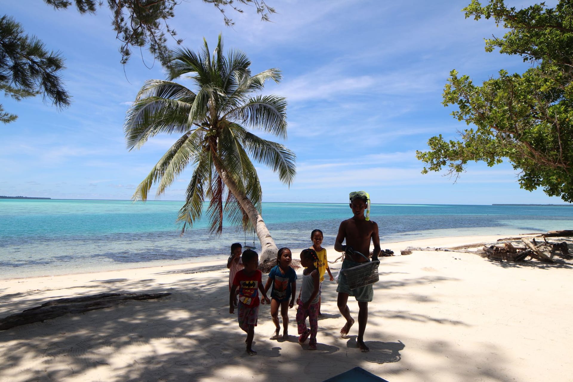
The market at Bairiki is where I understood what this place actually runs on. Women sell woven pandanus mats, fish brought in from overnight trips, green coconuts whose water is sweet and slightly warm, and packets of rice supplemented by tins of corned beef that appear to be a staple here in a way I didn’t anticipate. The noise is constant — kids running between the stalls, mopeds negotiating the crowd, a radio somewhere playing what sounded like a slowed-down hymn. I bought a small mat from a woman who spent most of our transaction laughing at my attempts to count coins in the local currency, and I ate yellowfin tuna with rice from a canteen near the government buildings that may have been the most honest meal I’ve eaten anywhere.
The seawall at Betio, at the western end of the strip, is where the future announces itself in concrete terms. The wall is there to hold back the ocean — the same ocean that rolls in from the west with swells that have built over thousands of miles of open water — and it is visibly losing the negotiation in places. Chunks of concrete sit displaced in the shallows. The causeway that links the districts floods during king tides in a way that has become routine enough that people factor it into their schedules. I spoke to a teacher in Betio who had grown up ten minutes inland from where the shoreline now sits, and the way she talked about it was not dramatic. She described it the way someone describes a neighbor who keeps borrowing things and not returning them — with exasperation rather than grief. That restraint, that refusal to perform catastrophe for the benefit of outsiders, is one of the more affecting things about living here.
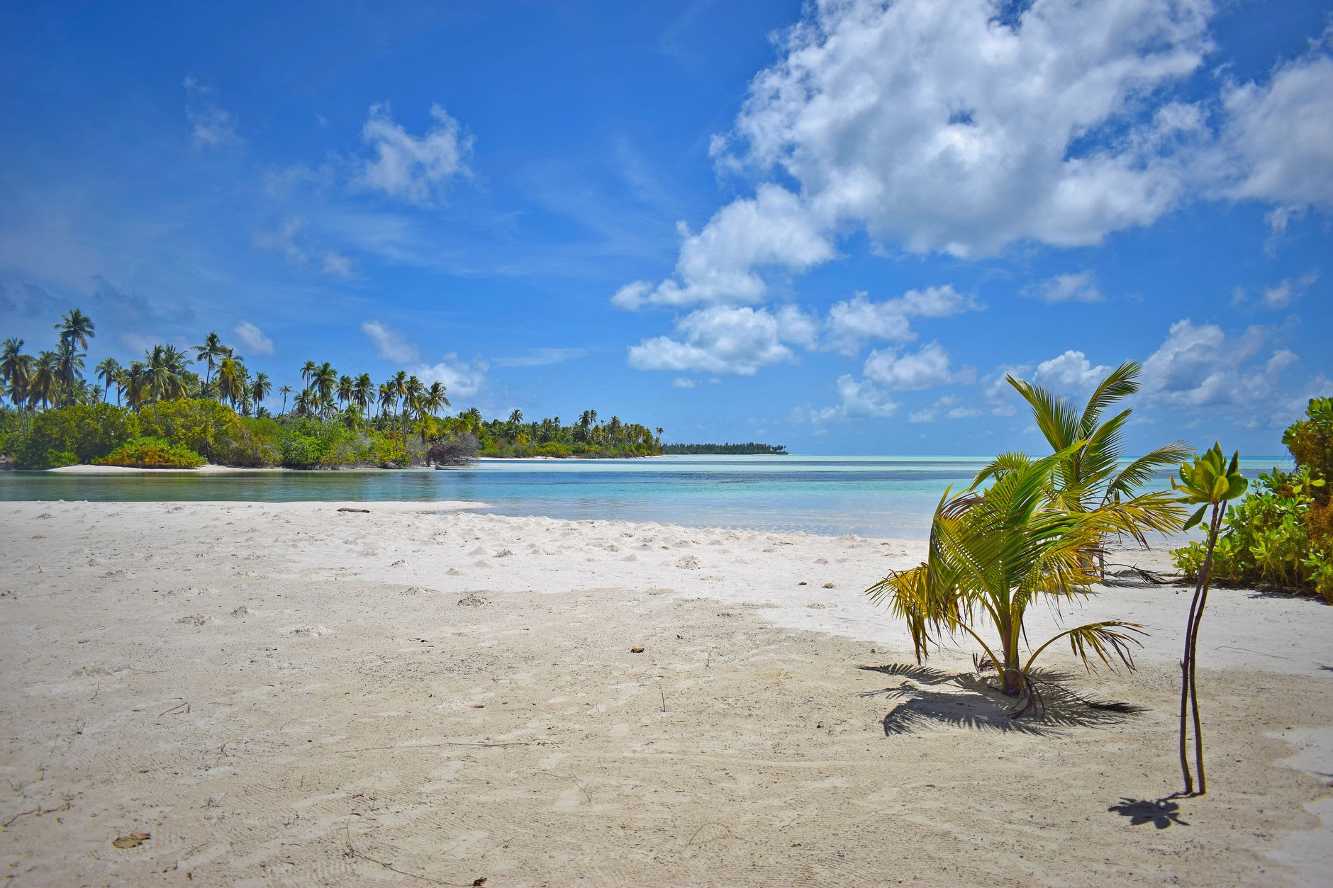
What South Tarawa requires is patience and the willingness to let go of the idea that density and remoteness are mutually exclusive. This is both one of the most isolated capitals on earth — closer to the Marshall Islands than to any continent — and one of the most densely settled strips of land in the Pacific. People fish from the bridges at dusk, children swim in the lagoon at low tide where the water barely covers their ankles, and the evening maneaba — the open-sided community meeting house — hums with talk that spills out into the road. I walked the causeway between Betio and Bairiki at six in the morning before the heat settled, with the lagoon on my left going jade and the ocean on my right going dark, and I felt very clearly that I was in one of the few places left on earth that the twenty-first century has not quite reached an agreement with.
When to go: April through October offers calmer seas and better lagoon visibility. The wet season from November to March brings heavy rains and rougher crossings between districts. Domestic flights book quickly — reserve well ahead.