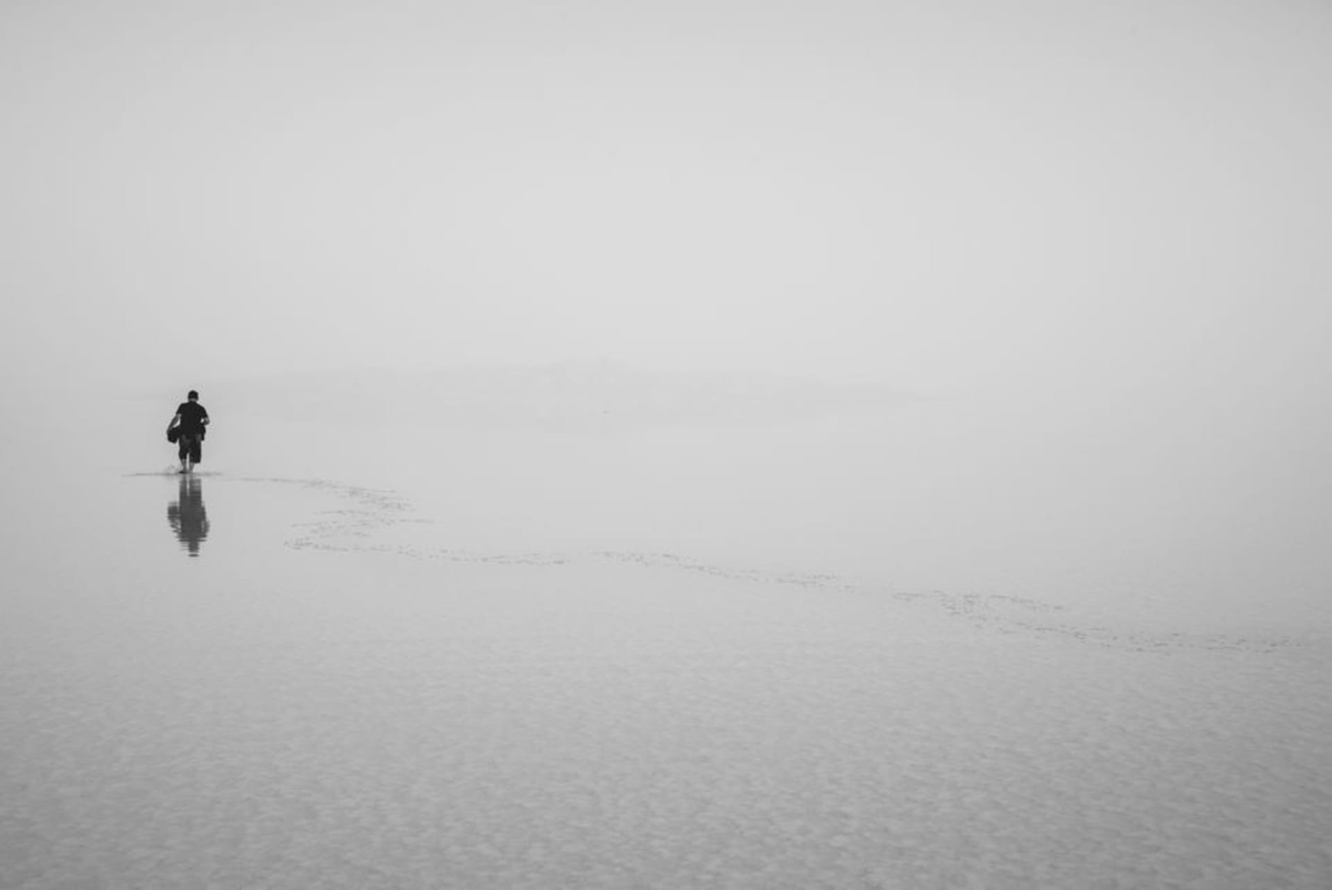
Lake Urmia
"The lake used to be twice this size. Everyone here can point to where the water used to reach."
A vanishing hypersaline lake the color of rust and rose, where you float without trying and the mountains of West Azerbaijan sit reflected in water that's disappearing faster than anyone can fix.
I drove out to Lake Urmia on a whim, after a taxi driver in Tabriz mentioned it the way you’d mention a strange cousin — half proud, half worried. Two hours west and the landscape opens into something that doesn’t look like it should exist in Iran: a flat, shimmering expanse of pink-tinged water, salt crusted white along the shoreline like frost that never melts. Lia waded in first and came out laughing, buoyant in a way that felt involuntary, arms floating up on their own. The salinity here rivals the Dead Sea, and for a while, before the water receded so dramatically, this was one of the largest saltwater lakes on the planet.
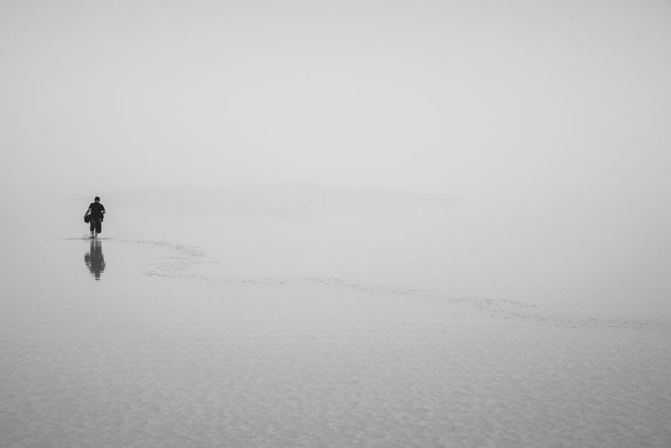
A Lake in Retreat
What nobody tells you before you arrive is how much of the visit is quietly elegiac. Decades of dam-building upstream and diverted irrigation have shrunk Urmia to a fraction of its historic size, and the old causeway that now cuts across the middle of the lake — built in the 2000s to connect the two provincial capitals — sits on land that used to be entirely submerged. Local conservationists have made real progress in recent years restoring inflow, and the color has returned to parts of the lake that had gone entirely to salt flat. Still, standing at the shore with a fisherman who told me, unprompted, exactly where the water line used to be relative to a rock outcrop now a kilometer inland, the scale of the loss becomes physical rather than statistical.
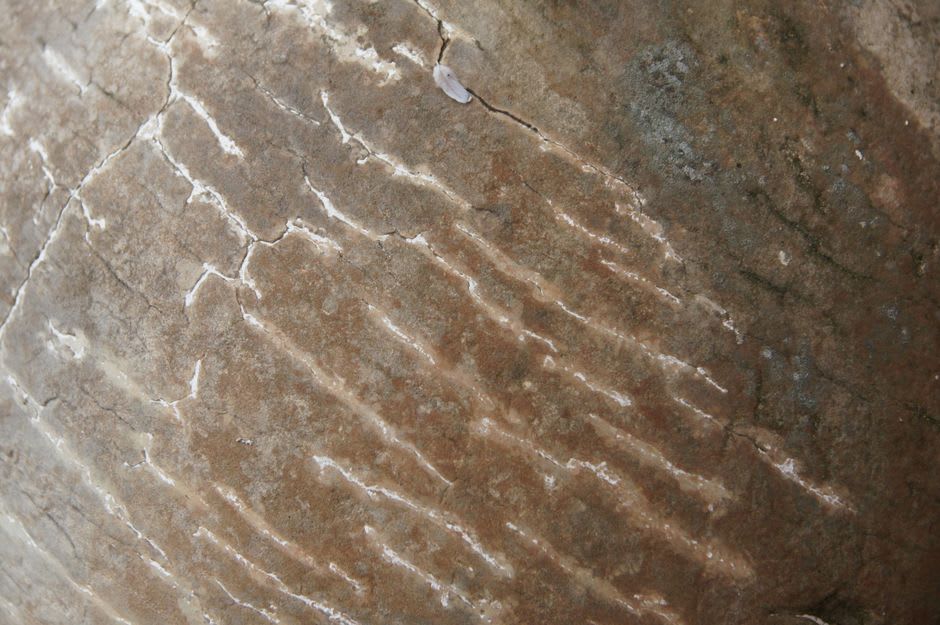
Kaboudan Island and the Salt Flats
Boats still run out to Kaboudan Island, the largest of the lake’s islands, where wild sheep and gazelle wander an interior that feels untouched by the water crisis around it. We didn’t make the crossing — the ferry schedule that day didn’t cooperate — but we walked instead along the southern salt flats near Sharafkhaneh, where the ground crunches underfoot like packed snow and the horizon blurs pink and white into a single indistinct line. It’s not a place with a checklist of sights. It’s a place you sit with for an hour and let unsettle you a little, in the best way travel sometimes does.
When to go: Late spring (April–May) for the highest water levels and the most vivid color, before summer evaporation concentrates the salt and shrinks the shoreline further. Avoid peak summer, when the exposed salt flats radiate brutal heat.