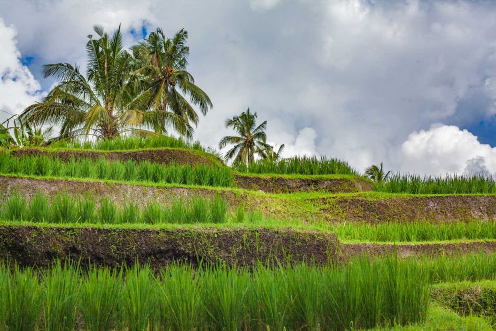
Tabanan
"Everyone photographs Tegallalang; almost no one drives the extra hour to Jatiluwih, and that's the whole problem with Bali in one sentence."
The rice bowl of Bali — a regency of terraces so precise they've been declared a UNESCO landscape, and almost no tourists in sight.
Tabanan doesn’t get mentioned much outside of guidebooks that list it as “the regency where the rice comes from,” which is true and also undersells it badly. This is the agricultural heart of Bali, a district running from Mount Batukaru’s forested slopes down to a long stretch of largely undeveloped southern coastline, and it’s here — more than almost anywhere else on the island — that you can still watch the subak system work exactly as it has for roughly a thousand years.
Subak is the traditional Balinese irrigation cooperative, a democratic, temple-linked system in which farmers share water from a single mountain source through a network of canals, tunnels, and weirs, governed collectively rather than by ownership of the water itself. It’s not just plumbing — it’s a religious and social structure, rooted in the Hindu philosophy of Tri Hita Karana, the harmony between people, nature, and the spiritual realm, with water temples mediating disputes and timing plantings according to ritual calendars as much as practical need. UNESCO recognized the subak landscape at Jatiluwih, in Tabanan’s highlands, as a World Heritage Site in 2012, specifically citing it as a living embodiment of that philosophy — not a museum piece, but a system still actively farmed today.
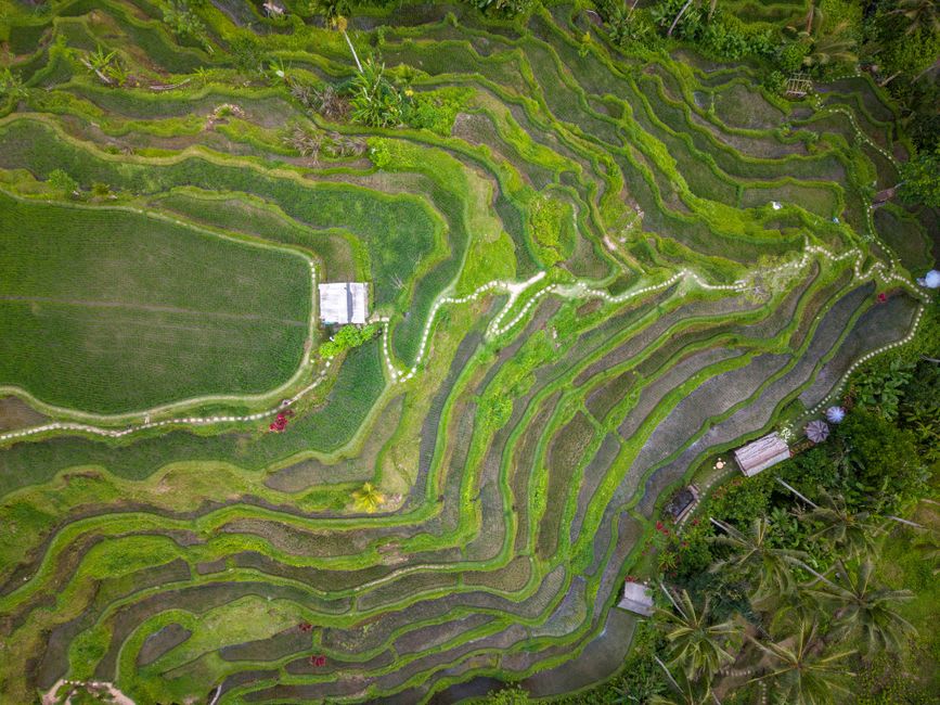
Jatiluwih and the mountain behind it
Jatiluwih itself is staggering in a way photographs undersell — terraces stacking for kilometers up the slopes of Mount Batukaru, still growing traditional Balinese red rice varieties in many sections rather than the faster-yield hybrid strains that have replaced heirloom rice across much of the rest of the island. Walking the ridge trail there, past farmers working the same plots their families likely have for generations, past small shrines tucked into terrace corners honoring Dewi Sri, the rice goddess, I kept thinking about how Tegallalang, closer to Ubud, gets ten times the visitors for a fraction of the scale and none of the working authenticity. Jatiluwih requires more effort to reach, which is precisely why it’s kept its integrity.
Mount Batukaru itself, Bali’s second-highest peak at just over 2,270 meters, looms behind the terraces, its slopes cloaked in some of the island’s last substantial primary rainforest. Pura Luhur Batukaru, one of Bali’s nine directional temples, sits at its base in genuinely mossy, misty forest — a cooler, quieter counterpart to the more visited mountain temples elsewhere, dedicated to the mountain’s guardian spirit and rarely crowded even on weekends.
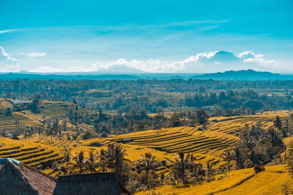
Down at the coast, Tabanan’s shoreline near Yeh Gangga and Soka Beach is a different register entirely — long stretches of black volcanic sand, heavy surf, and almost no development compared to the south. It’s not swimming water so much as staring-at-the-horizon water, and I found it a good antidote after a day spent among the manicured green geometry of the terraces inland. Between the mountain, the rice, and the coast, Tabanan quietly contains most of what people come to Bali hoping to find, minus the crowds who’ve been pointed elsewhere.
When to go: April to June or September to October, when the terraces cycle between vivid green growth and golden pre-harvest color depending on the plot — Tabanan’s staggered planting means you’ll almost always find some fields at peak green.