Mount Rinjani
"Nobody warns you that the hardest hour of the whole climb comes after you think you've already summited."
Indonesia's second-highest volcano, a punishing three-day climb to a crater lake so improbably blue it makes the exhaustion feel like a fair trade.
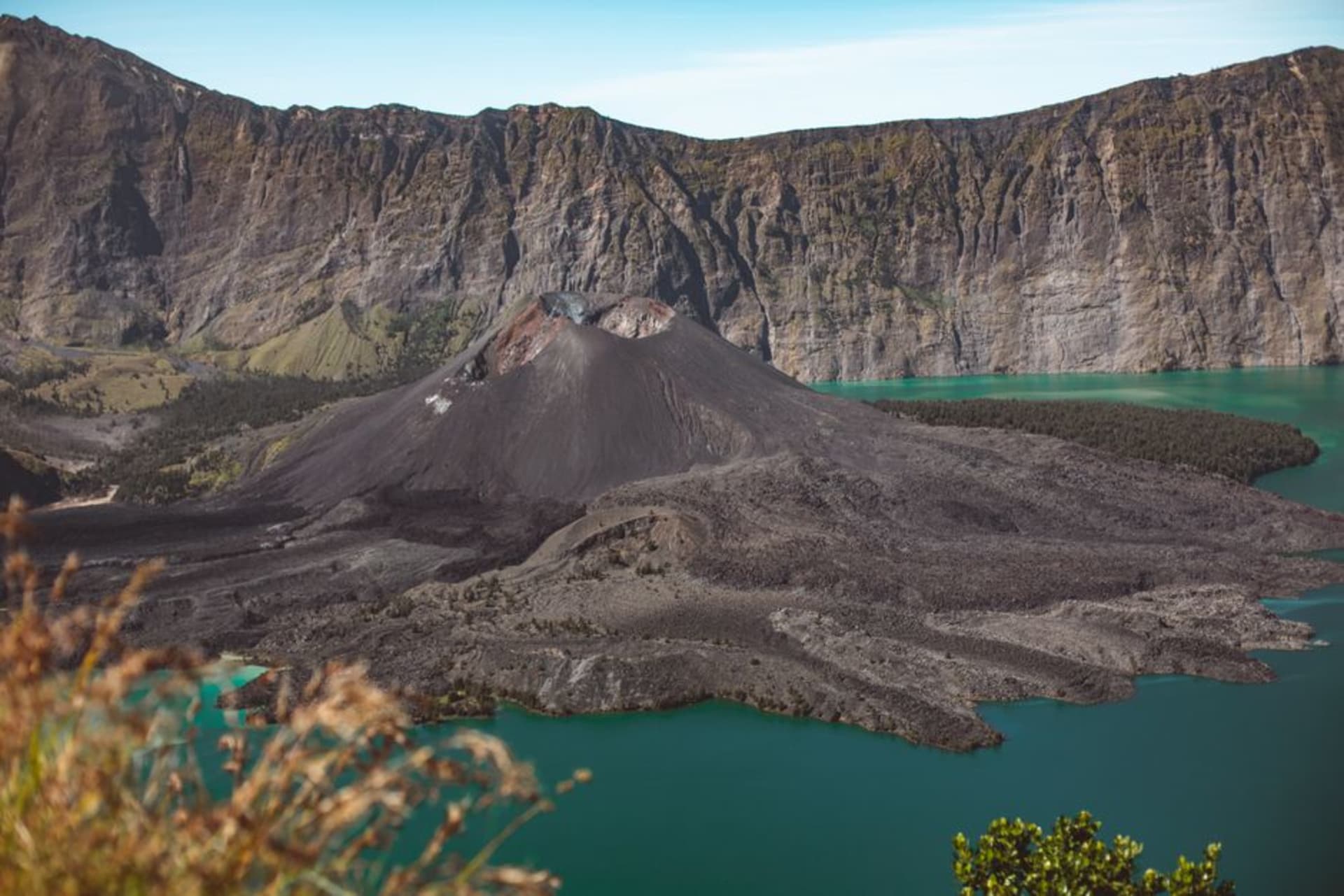
Rinjani punishes you before it rewards you, and it does the accounting in a very specific order. The first day is a long, grinding ascent through savanna grassland that offers no shade and no view worth stopping for, just switchback after switchback under a sun that Lombok does not soften for hikers. I remember thinking, somewhere around hour four, that I’d made a serious miscalculation. Then you crest the rim at Plawangan Sembalun, and the crater opens beneath you — Segara Anak, the “child of the sea” lake, a crescent of turquoise water cupped inside the caldera with a small, still-active cone, Gunung Baru Jari, rising from its edge like the volcano decided one eruption wasn’t enough of a statement.
At 3,726 meters, Rinjani is the second-highest volcano in Indonesia after Kerinci, and it anchors a national park that was declared a UNESCO Global Geopark in 2018, one of the few in the world built around a single active stratovolcano system. The mountain is sacred to both the indigenous Sasak people of Lombok and to Balinese Hindus, who make pilgrimages to Segara Anak believing the lake connects spiritually to the crater lake atop Mount Agung on Bali. I passed a group of Balinese pilgrims descending toward the lake with offerings on the second day, moving at a pace that made my trekking poles look ridiculous.
The summit push
The summit attempt happens in the dark, starting around 2am, because the loose volcanic scree on the final ascent turns brutal and shadeless once the sun is up, and because the payoff is a sunrise from the highest point most travelers to Lombok will ever stand on. It is, without exaggeration, two steps forward and one slide back for nearly the entire push — the sand-and-gravel summit cone has no switchbacks, just a straight, punishing line up. I summited with my hands as much as my legs, hauling myself up sections other hikers around me were openly cursing. But the sunrise, with Bali’s Mount Agung floating on the horizon across the strait and the crater lake glowing far below, was the kind of view that retroactively justifies bad decisions.

Most treks are arranged through Sembalun or Senaru village, the two main gateway trailheads, and nearly all of them go through licensed local guides and porters, many of them Sasak men who grew up in the mountain’s shadow and can move up the scree in flip-flops faster than I could in boots. It’s a three-day, two-night trek at minimum for the full crater-lake-and-summit route, sleeping in tents at Plawangan Sembalun and again near the lake, where you can soak in hot springs fed by the volcano’s own geothermal activity — genuinely the best thing that has ever happened to my legs after a day of hiking.
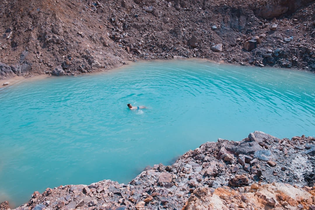
The mountain isn’t dormant in any comfortable sense — Baru Jari has erupted multiple times in the past two decades, most disruptively in 2016, closing the park for months. It’s a reminder, hiking around the crater rim, that you’re walking the edge of something still very much alive, which somehow makes the whole ordeal feel less like tourism and more like trespassing on a very patient, very large geological process.
When to go: April to December, during the dry season — the park closes entirely from January to March for the wet season, when trails become dangerous and frequently impassable.