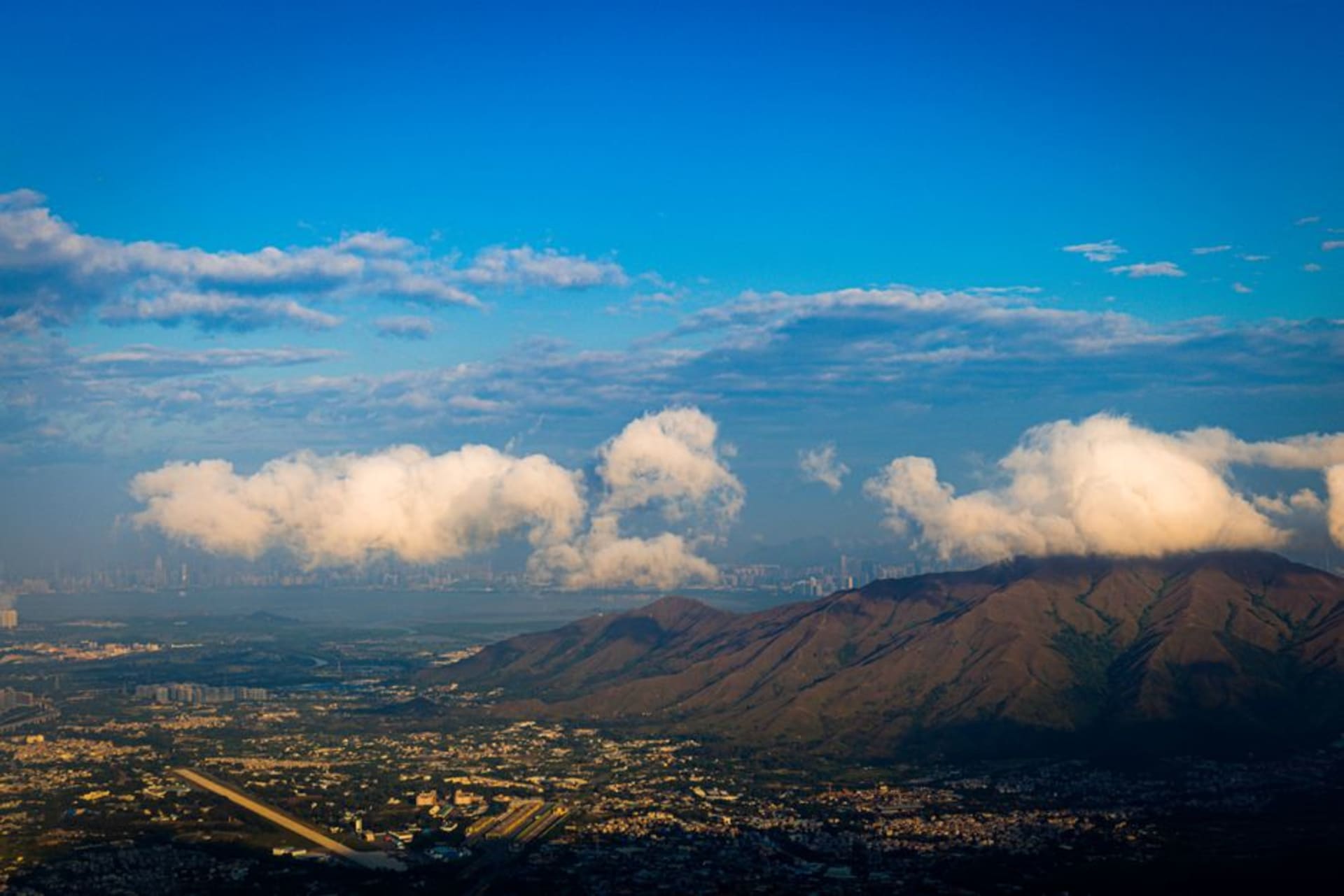
Tai Mo Shan
"For twenty minutes near the top, the fog closed in so completely that Hong Kong simply ceased to exist, and I stood there grinning like an idiot."
Hong Kong's highest peak, where the clouds actually sit below you and the summit trail is quiet enough to hear your own breathing.
Tai Mo Shan translates roughly to “Big Hazy Mountain,” and the name is not decorative — at 957 meters it is the tallest peak in Hong Kong, and it spends a meaningful percentage of the year wrapped in cloud that rolls up from the valleys with almost no warning. I climbed it on a trip when Lia had a work call she couldn’t miss, so I went alone, taking the bus from Tsuen Wan to the Country Park entrance and starting up the paved road that switchbacks toward the summit relay station.
The lower slopes are grassland and shrubs, dotted with old tea terraces that go back to a British-era experiment in growing tea here, most of which failed but left the hillside shaped in these faint horizontal steps that are only really visible once someone points them out. Higher up, the vegetation changes to something scrubbier and wind-bent, and the temperature drops in a way that surprises people who packed for tropical Hong Kong. I had a light jacket and was still cold near the top, which is a sentence I did not expect to write about a city famous for its humidity.
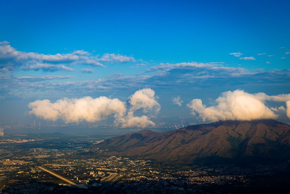
What I remember most is the fog. It came in fast, the way it does at altitude, and for a stretch near the summit I genuinely lost the skyline — no towers, no harbor, nothing but grey and the sound of wind moving through grass. It was disorienting in a good way, a reminder that this same territory holds both the density of Mong Kok and a mountaintop where you can’t see ten meters in front of you. The summit itself is fenced off — it’s a telecommunications site — but the viewing point just below it, on a clear day, supposedly gives you a look at both the harbor to the south and Shenzhen to the north, though I only got the harbor side before the cloud rolled back in.
The full loop, if you do the Tai Mo Shan Country Trail down toward Lead Mine Pass and back, is a solid half-day hike, and there’s a waterfall — Ng Tung Chai — on one of the connecting trails that’s worth the detour if your legs have anything left. I did not have much left. I sat on a rock near the bus stop back in Tsuen Wan eating a bag of dried mango I’d stashed for exactly that moment, and felt the specific satisfaction of having stood on top of a place most visitors never think to look for.
When to go: November to February for the clearest air and the best chance of a genuine view from the top — though ironically the fog itself, when it does roll in, is part of what makes the hike memorable. Avoid summer for the heat and the near-certainty of low cloud blocking everything anyway.