Plover Cove
"It took me an hour of walking to realize the flat blue expanse beside the trail wasn't the sea at all, and something about that fact rearranged how I thought about the whole territory."
A reservoir built by damming the sea itself, ringed by one of Hong Kong's longest and least-crowded coastal hiking trails.
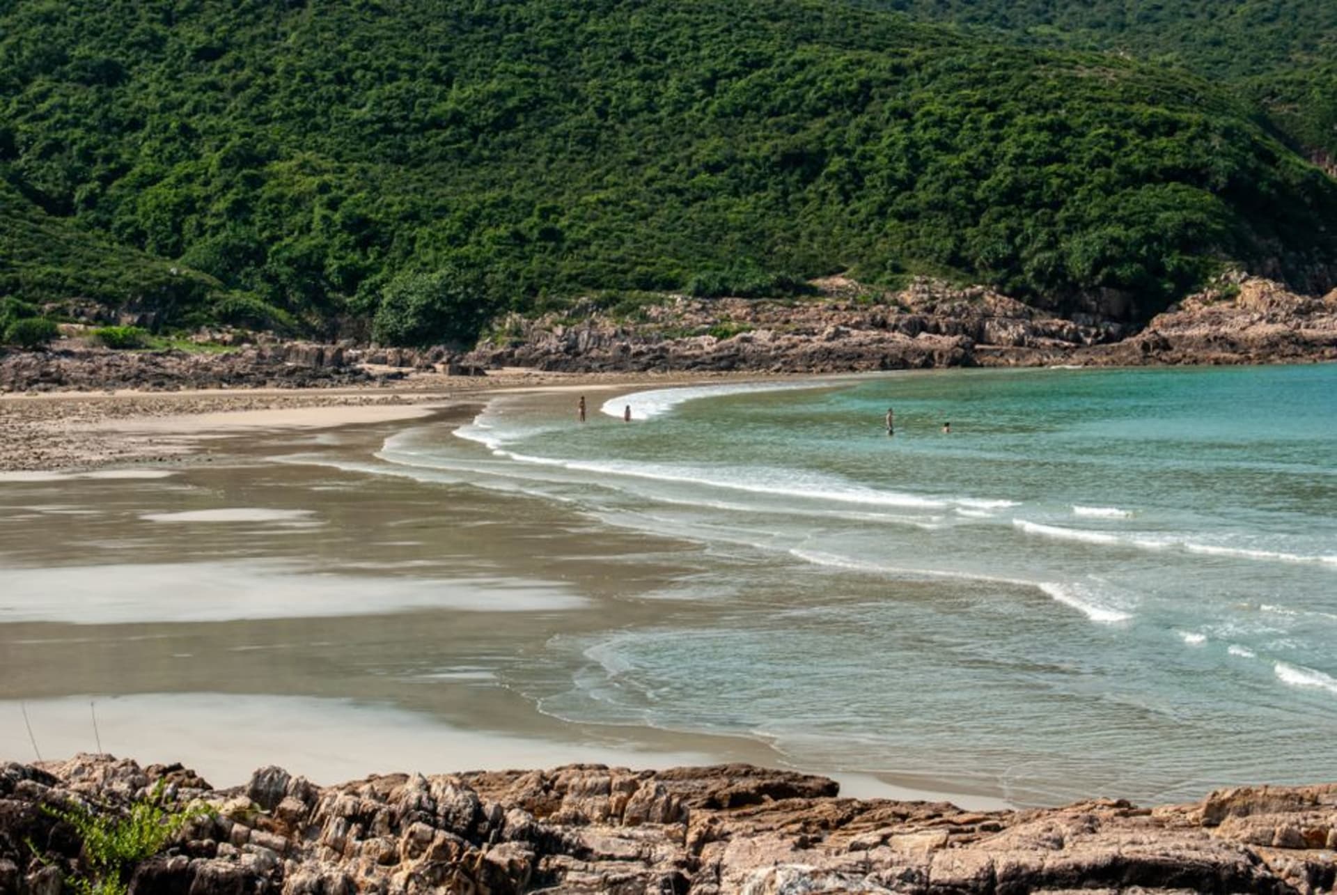
Plover Cove Reservoir is, on paper, a piece of civil engineering — Hong Kong dammed the mouth of an actual sea inlet in the 1960s and pumped the seawater out, replacing it with fresh water, which at the time was the largest project of its kind anywhere. In practice, walking the country trail that circles it, none of that history registers immediately. What registers is that you’re on a coastal path in the New Territories, hemmed in by green hills on one side and a still, enormous body of water on the other, and it takes a while to clock that the water is the wrong kind of quiet to be the sea.
Lia and I came out here after a recommendation from the same friend who’d sent us to Sai Kung, taking a minibus from Tai Po Market station toward Bride’s Pool and picking up the Plover Cove Country Trail from there. The full loop around the reservoir is long — more than twenty kilometers if you do the whole thing — and we did a shorter stretch, maybe six kilometers out and back, along a section that hugs the old coastline closely enough that you pass abandoned Hakka villages that were resettled when the dam went in.
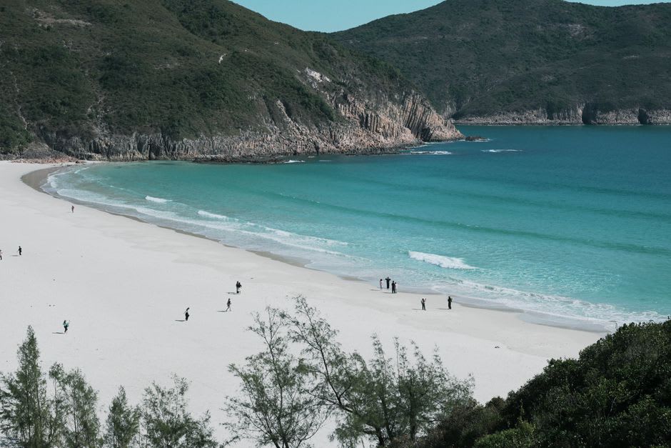
Those villages are the part that stayed with me. Lai Chi Wo, further along the same trail system, is the most complete of them — a walled Hakka village largely abandoned by the 1980s as residents moved to the city or emigrated, now slowly being restored by conservation groups and a trickle of returning families. We didn’t make it that far, but even the smaller, half-collapsed structures we passed on our shorter walk had this quality of arrested time, roofs caved in, doorframes standing, vegetation working its way patiently through what used to be someone’s kitchen.
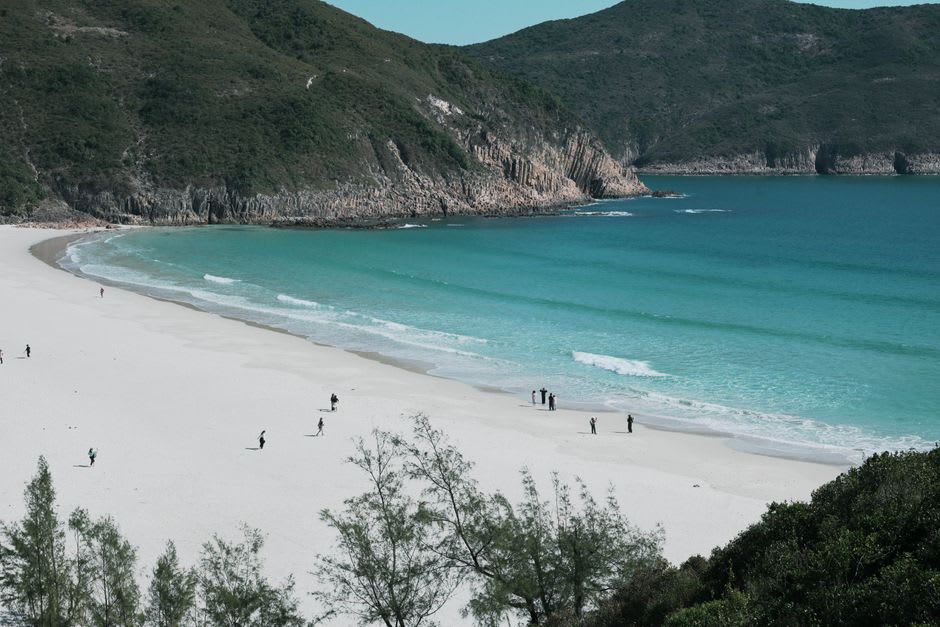
The dam itself, when you reach it, is oddly moving in a way I didn’t anticipate from an engineering structure — a long straight wall holding back an entire drowned bay, with the new freshwater lake on one side and, if you climb the right vantage point, a glimpse of the open sea just beyond it on the other. Bride’s Pool, the waterfall near the trailhead, gets its own crowd of day-trippers and is worth the short detour, but the reservoir trail itself, even a partial version of it, is one of the emptiest and most rewarding walks I did anywhere in the New Territories.
When to go: October to April for cooler hiking conditions. The trail offers little shade in exposed sections, so summer walking is uncomfortable and occasionally risky during heat warnings. Weekday mornings keep the trailhead near Bride’s Pool close to empty.